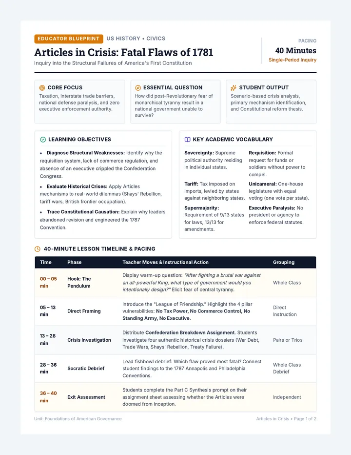
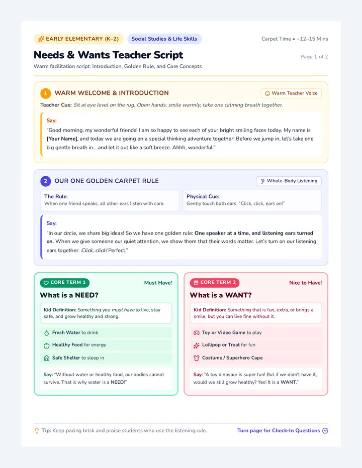
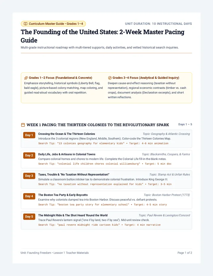
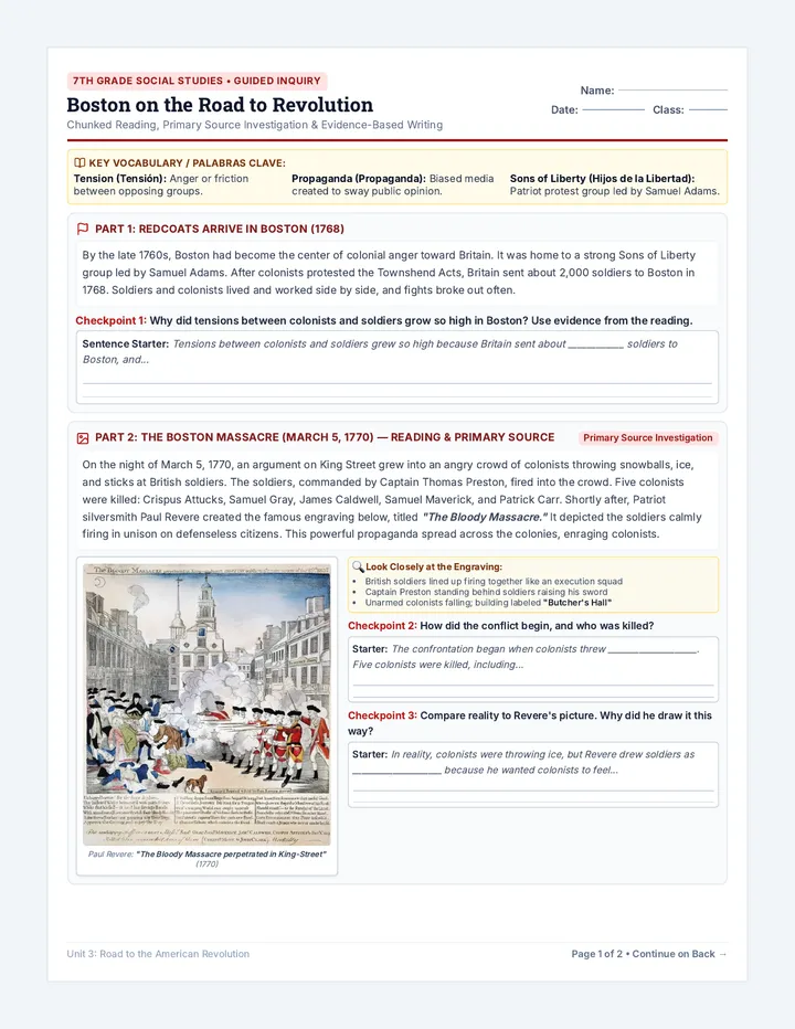
Island Explorer Project Packet
Grade 2 Social Studies • Geography Quest
Island Explorer Map Project
Name:
Date:
Your Cartographer Mission
Ahoy, explorer! You have just discovered a brand-new island that has never been seen before. Your job is to draw an official map so other explorers can visit your island safely!
The 4 Map Essentials (Check them off as you plan!)
1. Compass Rose
Show the 4 cardinal directions: North (N), South (S), East (E), West (W).
2. Map Key (Legend)
Draw mini symbols with clear labels so readers know what each picture means.
3. At Least 3 Landforms
Include natural features like mountains, hills, a river, a volcano, or a sandy beach.
4. At Least 2 Cities & Towns
Add human-made settlements like a Capital City, fishing harbor, or lighthouse.
Step 1: Map Symbol Studio (Practice & Plan Your Key)
Cartographers use simple pictures called symbols. Practice drawing your symbols inside each box below!
Landform Symbols (Pick 3 or more to use on your island):
Mountain Range
e.g. ^^^
Winding River
e.g. wavy line ~
Volcano
e.g. cone with steam
Beach or Forest
e.g. tree / dots
City & Landmark Symbols (Pick 2 or more):
Capital City
e.g. starred circle
Town / Village
e.g. small black dot
Harbor / Port
e.g. anchor
Lighthouse
e.g. tower with light
N
Compass Rose Memory Trick!
Remember the directions going clockwise: Never Eat Soggy Waffles (North, East, South, West).
Directions N • E • S • W
Page 1 • Project Planning Guide Turn to Page 2 to draw your island map! Grade 2 Social Studies
Official Cartography Chart
Map of Island:
Cartographer:
Scale: 1 grid square = 5 miles
Great Blue Ocean (Color the water light blue!)
Compass Rose
N
S
E
W
Label directions N, S, E, W!
Draw Your Island Here
Outline the coastline • Add mountains, rivers • Place cities • Color neatly!
Official Map Key (Legend) Draw symbol & write name
= Landform 1
= Capital City
= Landform 2
= Town / Village
= Landform 3
= Special Place
Explorer Approval
Cartographer Signature:
Page 2 • Official Map Canvas
✓ Compass Rose ✓ Map Key ✓ 3+ Landforms ✓ 2+ Cities
Turn to Page 3 for Island Log
Part 2 • Map Reading & Story
Island Explorer Log & Rubric
Island Name:
Part A: The Cartographer's Story (Tell us about your island!)
1. Why did you choose your island's name?
2. Describe two landforms on your island. What are they like?
3. What is special or famous about your Capital City?
Part B: Compass Rose Navigator (Use your map to answer!)
1. Look at your Capital City:
What landform or body of water is located directly NORTH of it?
2. Find your favorite town:
If a hiker walks EAST from that town, what will they find?
3. Sailing the Ocean:
If a pirate ship sails toward the SOUTH coast, where will it land?
Part C: Second Grade Mapmaker Rubric
| Map Feature |
What We Look For |
My Check |
Teacher |
| Compass Rose |
North, South, East, and West are labeled accurately in order. |
|
/ 4 pts |
| Map Key (Legend) |
Has at least 4 clear symbols with neat names that match the map. |
|
/ 4 pts |
| Landforms (3+) |
At least 3 different landforms (e.g. mountains, river, beach) are drawn. |
|
/ 4 pts |
| Cities & Towns (2+) |
At least 2 settlements (like Capital City and a port) are clearly marked. |
|
/ 4 pts |
| Neatness & Color |
Carefully colored, island coastline is clear, and words are easy to read. |
|
/ 4 pts |
| Total Explorer Score: |
— |
/ 20 pts |
|
Page 3 • Explorer Log & Rubric Cartographer Seal of Excellence Grade 2 Geography Project
Turtle Cove Sample Map
Teacher Model • Student Exemplar
Turtle Cove Island Sample Map
Meets All 4 Essentials
Cartographer: Captain Coral
Notice: Every symbol on the map matches the key, and compass directions (N, S, E, W) help us find landmarks! Score: 20/20 Pts
Official Cartography Chart
Map of Turtle Cove Island
Compass Rose
N
S
E
W
Cardinal Directions
Gentle Sea Turtle Turtle Bay Puffing Peak (Volcano) Shelly Mountain Range Whispering River ~ Coconut Grove ★ Starfish Beach ★ Port Shellington (Capital City) Pelican Harbor Beacon Point (Lighthouse)
Official Map Key (Legend) ✓ Complete
★
= Port Shellington (Capital City)
= Pelican Harbor (Fishing Town)
^^^
= Mountain Range (Shelly Ridge)
= Beacon Point (Lighthouse)
~~~
= Whispering River (Fresh Water)
= Puffing Peak (Volcano)
Explorer Approval
PASSED • 100% Capt. Coral
Page 1 • Model Cartography Canvas
✓ Compass Rose (N, S, E, W) ✓ 6 Key Symbols ✓ 5 Landforms ✓ 3 Settlements
Turn for Completed Explorer Log →
Part 2 • Exemplar Responses
Turtle Cove Explorer Log & Rubric Guide
Island Name: Turtle Cove Island
Part A: The Cartographer's Story (Model Student Answers)
Full Sentences
1. Why did you choose your island's name?
Model Answer: I named my island Turtle Cove Island because giant sea turtles swim through the warm turquoise water and lay their eggs in the soft sand along the southern coast every spring!
2. Describe two landforms on your island. What are they like?
Model Answer: Shelly Mountain Range has tall, rocky peaks covered in cold white snow. Whispering River flows down the mountains and carries cool, fresh water across the island into Turtle Bay.
3. What is special or famous about your Capital City?
Model Answer: Port Shellington is famous for its busy docks, colorful fishing boats, and the big Annual Sea Turtle Festival where islanders make crafts and eat fresh coconuts.
Part B: Compass Rose Navigator (How to Solve Each Clue)
Navigation Skills
1. Capital City Clue: NORTH
What landform is located directly NORTH of Port Shellington?
✓ Shelly Mountain Range Tip: Move your finger straight up from the star!
2. Walking Clue: EAST
If a hiker walks EAST from Pelican Harbor, what will they find?
✓ Beacon Point Lighthouse Tip: East is to the right side of the map!
3. Sailing Clue: SOUTH
If a pirate ship sails toward the SOUTH coast, where will it land?
✓ Starfish Beach Tip: South is at the bottom of the map!
Part C: Model Rubric Scoring Breakdown (Why it earns 20/20)
Perfect Score
| Map Feature |
Why This Example Earns Full Points |
Score |
| Compass Rose |
All 4 directions are labeled clockwise: North at top, East right, South bottom, West left. |
4 / 4 |
| Map Key (Legend) |
Includes 6 neat symbols with clear labels. Every single key symbol appears on the map. |
4 / 4 |
| Landforms (3+) |
Exceeds goal with 5 landforms: mountains, winding river, volcano, sandy beach, and coconut grove. |
4 / 4 |
| Cities & Towns (2+) |
Includes Capital City (Port Shellington), fishing port (Pelican Harbor), and Beacon Point Lighthouse. |
4 / 4 |
| Neatness & Color |
Coastline is clean, water is colored blue, handwriting is clear, and details are colorful and easy to read. |
4 / 4 |
| Total Exemplar Score: |
20 / 20 pts |
|
Page 2 • Exemplar Explorer Log & Rubric Guide Grade 2 Social Studies • Master Cartographer Exemplar ★ Grade: A+ (100%)