Lenny.com
Explore
Create
ActivitiesNewMathEnglish Language ArtsScience & EngineeringSocial StudiesGlobal LanguagesHealth & Physical EducationSpecial EducationCounseling & Life SkillsArts & CreativityESL
Lenny.com
Lenny.com
Explore
Create
ActivitiesNewMathEnglish Language ArtsScience & EngineeringSocial StudiesGlobal LanguagesHealth & Physical EducationSpecial EducationCounseling & Life SkillsArts & CreativityESL
Lenny.com
Lenny.com

Solutions

Lenny for EducatorsLenny for SchoolsLenny for Districts

Product

ExploreSign inCreateSupportAbout

Resources

Getting startedMTSS Acceleration Program

© 2026 Lenny Learning Inc.

TermsPrivacyAccessibility
LinkedInInstagramX
Lenny

Geographic Skills

Cartographic interpretation, spatial reasoning, and the use of tools like GIS and coordinate systems. Develops proficiency in analyzing data patterns, scale, and human-environment relationships through map-based evidence.

Social StudiesSocial Studies PracticesLocation WordsMapsOrder EventsChronology and CausationEvaluating SourcesHistorical ThinkingGeography, Humans, & the EnvironmentAmerican Symbols and LandmarksCitiesStatesState CapitalsRegions of the United StatesGeographic SkillsPhysical GeographyHuman GeographyRegional GeographyGeography of AfricaGeography of AsiaGeography of EuropeGeography of OceaniaGeography of the AmericasSociety and Environment of EuropeSociety and Environment of AsiaSociety and Environment of The AmericasSociety and Environment of the Middle EastSociety and Environment of AfricaHistoryPrehistoryComparing Ancient River CivilizationsAncient MesopotamiaAncient Egypt and KushAncient South AsiaEarly ChinaGreeceRome and the Byzantine EmpireAncient World HistoryNative Peoples of North AmericaNative Peoples of Mesoamerica and South AmericaAfrican EmpiresMedieval AsiaMedieval EuropeThe Silk RoadMedieval HistoryIslamic EmpiresWorld ReligionsRenaissance PeriodAge of ExplorationThe Thirteen ColoniesThe American RevolutionUS History Early RepublicFounding of the United StatesUS History AntebellumUS Civil WarReconstruction PeriodThe Gilded AgeUS ImperialismWorld ImperialismWorld War IUS History 1920sGreat DepressionWorld War IIThe Cold WarUS History 1950-60sUS History 1960s-70sWorld History 20th CenturyContemporary US HistoryContemporary World HistoryHolidaysCivics and GovernmentCitizenshipGovernment FoundationsThe ConstitutionUS ConstitutionExecutive BranchLegislative BranchJudicial BranchState and LocalPolitical ParticipationPublic PolicyPolitical SystemsPower and AuthoritySocial MovementsDefining DevianceTheories of DevianceCrime and Criminal JusticeEconomicsBasic Economic PrinciplesSupply and DemandWhat is MoneyEconomic FundamentalsMicroeconomicsMacroeconomicsBanking and FinanceEconomic SystemsGlobal EconomicsCorporations and PowerThe Changing WorkplaceUnemployment and LaborClass and InequalitySocial MobilityGlobal InequalityPsychologyHistory of PsychologyPsychology as a ScienceBrain and Nervous SystemNeuroscience and BehaviorGenetics and BehaviorSleep and ConsciousnessSensory ProcessesPerceptual OrganizationClassical ConditioningOperant ConditioningObservational LearningCognitive LearningMemory ProcessesThinking and Problem SolvingLanguage and CognitionTheories of MotivationStress and CopingPrenatal and Infant DevelopmentChildhood DevelopmentAdolescent DevelopmentAdulthood and AgingSelf and IdentitySocial CognitionSocial InfluenceAttraction and RelationshipsGroup BehaviorPrejudice and DiscriminationAnxiety and Mood DisordersClinical PsychologyForensic PsychologyPhilosophy & EthicsIntroduction to PhilosophyMajor Philosophers & IdeasMind and Body ProblemFree Will vs DeterminismEthics & MoralityReligion & PhilosophyPolitical Philosophy

Videos

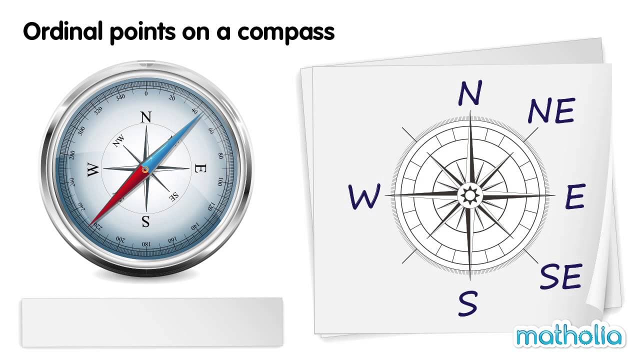
Reading Compass Directions: The Ordinal Points

Reading Compass Directions: The Ordinal Points

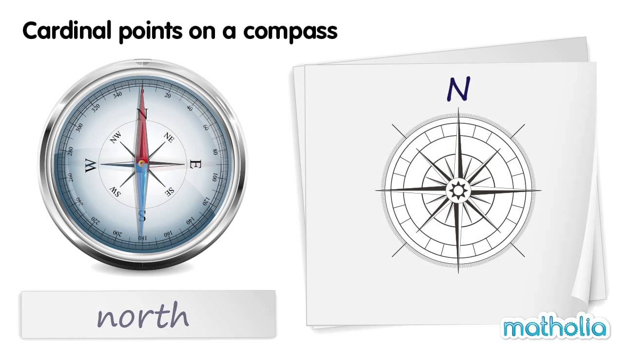
This educational video provides a clear and structured introduction to the ordinal (or intercardinal) points of a compass. Building upon the basic cardinal directions of North, South, East, and West, the video demonstrates how intermediate directions are named based on the two cardinal points they lie between. Through a visual demonstration using a realistic compass needle and a diagram, viewers learn to identify, name, and abbreviate North-East (NE), South-East (SE), South-West (SW), and North-West (NW). The video explores key themes of spatial orientation, map reading skills, and the terminology of navigation. It explicitly distinguishes between cardinal points and ordinal points, helping students understand the logic behind the naming convention (e.g., why it is "North-East" and not "East-North"). The systematic presentation reinforces the cyclical nature of the compass rose. For educators, this resource is an excellent tool for introducing map skills and geography concepts in lower elementary grades. It visually bridges the gap between abstract direction names and the physical movement of a compass needle. Teachers can use this video to scaffold lessons on reading maps, giving directions, or understanding location relative to a fixed point, making it valuable for both Social Studies and Math (spatial reasoning) curriculums.

MatholiaChannelMatholiaChannel

1min 41s

Understanding Cardinal Directions on a Compass

Understanding Cardinal Directions on a Compass

This concise educational video introduces young learners to the compass and the four cardinal directions: North, South, East, West. Using clear, high-quality animations of a realistic compass alongside a simplified compass rose diagram, the video systematically demonstrates how the red needle points to each direction. It provides a visual and auditory explanation of how to identify directionality using this essential navigational tool. The video focuses on two main themes: identifying the parts of a compass (specifically the directional needle) and associating the four primary directions with their names and abbreviations (N, E, S, W). It steps through each direction individually, allowing students to see the needle move and establish a mental connection between the visual position (up, right, down, left) and the corresponding directional term. For educators, this resource serves as an excellent foundational tool for geography and social studies units on maps and navigation. It is particularly useful for introducing the concept of orientation before moving on to map reading skills. Teachers can use this video to help students understand that 'up' on a map typically corresponds to North, and to introduce the standard abbreviations used on maps and globes. The clear pacing makes it suitable for young children learning spatial concepts for the first time.

MatholiaChannelMatholiaChannel

1min 21s

Why We Draw Lines: Understanding Political Boundaries

Why We Draw Lines: Understanding Political Boundaries

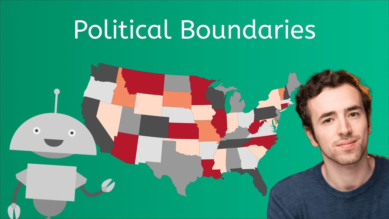
This engaging educational video explores the concept of political boundaries, using relatable analogies and historical examples to explain why humans draw lines on maps. Hosted by Justin, the lesson begins with a humorous comparison to siblings sharing a bedroom to introduce the basic idea of territory. It then travels back 4,500 years to ancient Sumer to examine the first recorded border conflict between the cities of Lagash and Umma, illustrating how resource competition and pride drive the creation of boundaries. The video breaks down the three main reasons for boundaries—resources, pride, and legal jurisdiction—using diverse examples ranging from Ancient Egypt to modern-day Russia and Ukraine. It categorizes boundaries into three types: Natural (like the Rio Grande), Geometric (like the straight lines in North Africa), and Cultural (illustrated by tribal groups that transcend political borders). Finally, the lesson clarifies complex political science terminology often confusing for students: the difference between a "Nation" (people), a "State" (political entity), and a "Nation-State," as well as the concept of "Sovereignty." Through clear definitions and real-world examples like the Kurds, the Lakota Sioux, and the dispute in the South China Sea, students gain a comprehensive understanding of political geography.

Miacademy & MiaPrep Learning ChannelMiacademy & MiaPrep Learning Channel

11mins 26s

Drawing Earth from Space and Making Maps

Drawing Earth from Space and Making Maps

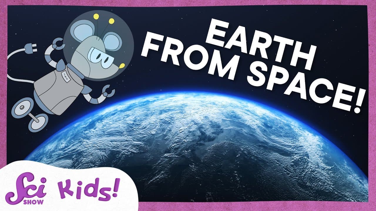
In this episode of Sci Kids, host Jessi and her robot mouse friend Squeaks explore how our planet looks from different distances in space to learn about geography and mapping. Through an engaging art project, they investigate why we can see massive features like continents, oceans, and ice caps from the International Space Station, but cannot see smaller details like houses or forts. The video uses real satellite imagery to help young students visualize the Earth as a whole system.

SciShow KidsSciShow Kids

6mins 1s

Exploring Europe: Countries, Regions, and Landmarks

Exploring Europe: Countries, Regions, and Landmarks

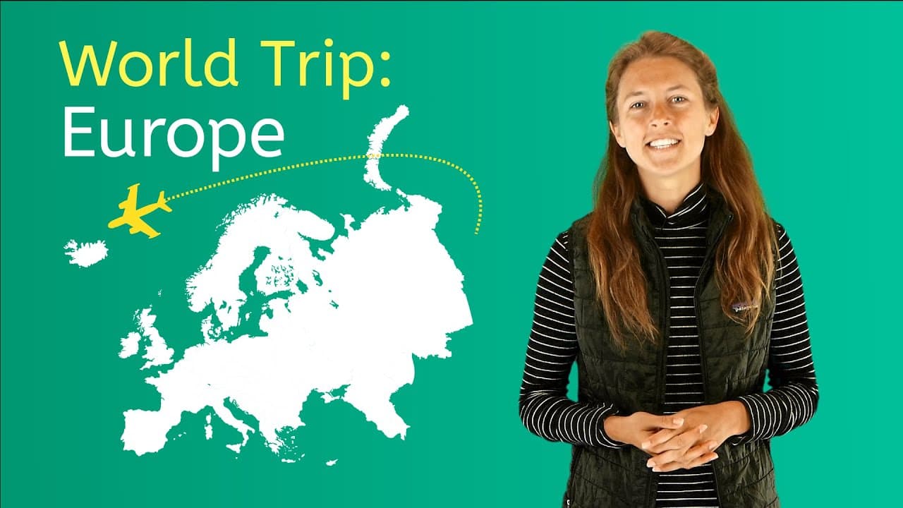
This educational video provides a comprehensive tour of the continent of Europe, designed for elementary and middle school students. Hosted by a presenter named Kylie, the video breaks down the continent into six specific geographic regions: Central, Eastern, Northern, Southern, Southeastern, and Western Europe. It combines map visuals with photos of landmarks, animals, and cultural elements to give viewers a well-rounded understanding of European geography. The content covers essential geographical concepts such as hemispheres, landlocked countries, and transcontinental nations. It details the climates, native wildlife, and major languages spoken in each region. The video also highlights famous landmarks like the Eiffel Tower, the Colosseum, and Big Ben, while touching upon historical elements like the Roman Empire and the origins of the name "Europe." For educators, this video serves as an excellent introduction to world geography units. It offers clear visual aids for map skills and introduces vocabulary like "peninsula" (implied through visuals), "landlocked," and "transcontinental." It can spark learning about cultural diversity, different climate zones within a single continent, and the political geography of modern Europe.
Miacademy & MiaPrep Learning ChannelMiacademy & MiaPrep Learning Channel

9mins 11s

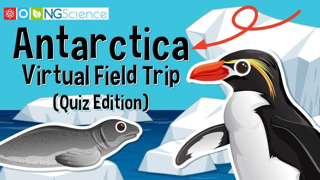
A Virtual Field Trip to Antarctica: Wildlife, Climate, and Geography

A Virtual Field Trip to Antarctica: Wildlife, Climate, and Geography

This immersive virtual field trip transports students to Antarctica, the frozen continent at the bottom of the world. The video begins by contextualizing Antarctica's place on Earth relative to the other six continents, before zooming in to explore its unique geography, extreme climate, and status as the world's largest desert. It uses stunning high-definition footage of icebergs, glaciers, and research stations to visualize the environment.

Next Generation ScienceNext Generation Science

12mins

Materials

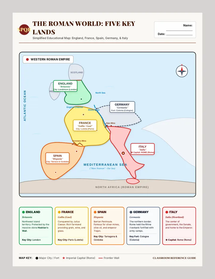
Empire Frontiers Reference Map

Empire Frontiers Reference Map

A simplified, high-clarity single-page reference map of Western Europe under Roman rule. Clearly highlights and labels Spain (Hispania), France (Gallia), England (Britannia), Germany (Germania), and Italy (Italia) with bold color coding, ancient and modern names, key capitals, and a student reference guide.

JT

Julie Teske

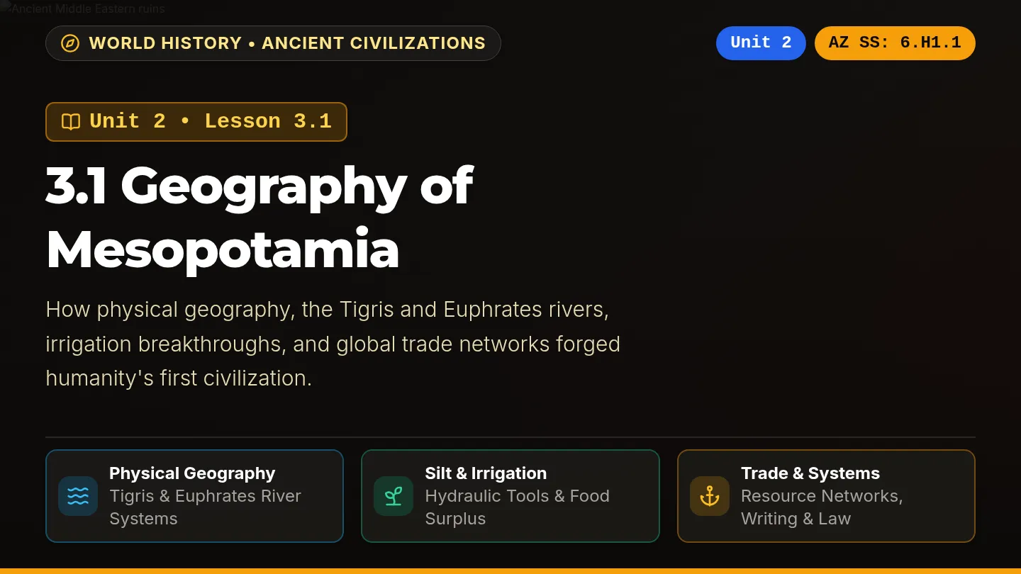
River Cradle Slides

River Cradle Slides

A dark-themed, visually vibrant classroom slide deck labeled Unit 2: Lesson 3.1 Geography of Mesopotamia, aligned with Arizona History and Social Science standards on every slide, featuring rich photography, high-contrast color-coded cards, and interactive review prompts.

SZ

Sandra Zoerhoff

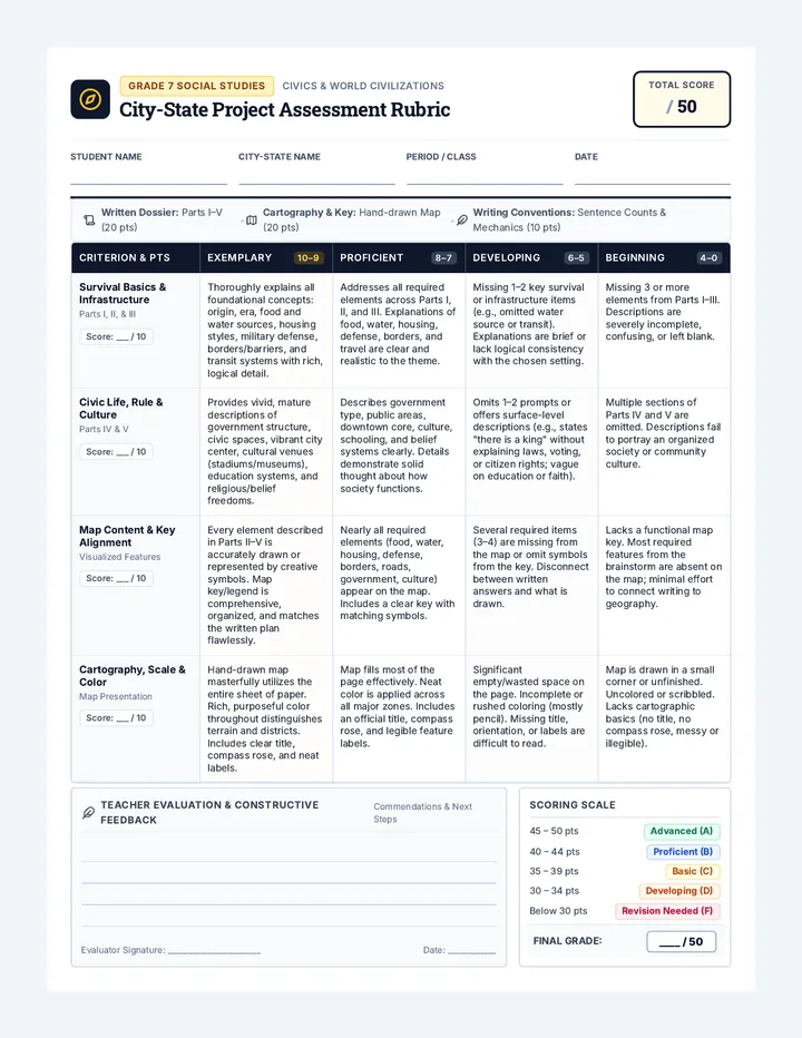
City State Architect Rubric

City State Architect Rubric

A comprehensive 50-point rubric for a 7th grade social studies city-state creation project. Assesses written descriptions across survival, infrastructure, government, and culture, alongside map design, symbol keys, and sentence count compliance.

MM

Matthew McGonagle

Pocket Vocab Lab Activity Templates

Pocket Vocab Lab Activity Templates

A printable horizontal mini-composition notebook interactive vocabulary toolkit for Ohio 6th Grade Social Studies. Features wide horizontal inserts for dual-coding icon vaults, relational analogy engines, geographic semantic webs, and historical context decoders with cut lines and glue tabs.

MG

Mary Grose

Mesopotamia Adventure Packet

Mesopotamia Adventure Packet

A 6-page printable-ready student adventure packet about ancient Mesopotamia with enlarged readable Nunito fonts, a 5-paragraph reading passage, 4 text-dependent questions, scaffolded missions, and a culminating Settler Council simulation.

D

destiny.lanier

Map Explorers Worksheet

Map Explorers Worksheet

A rigorous 2-page 5th-grade reading comprehension worksheet adapted from 'Reading Maps and Globes' for Spanish ESL learners. Features rich academic vocabulary with Latinate cognates, numbered text sections, academic summary sentence frames, and rigorous text-evidence multiple-choice questions with POE strategy.

MG

Max Garner

Sequences

Invention Boom Slides

Modern Era Odyssey

A 13-day journey through modern American history, from the Industrial Revolution to the present day, focusing on key historical figures and major conflicts as outlined in the 5th Grade TEKS. Each lesson is designed for a quick 30-minute block, integrating multimedia and primary source analysis.

CH

Courtney Holdren

49
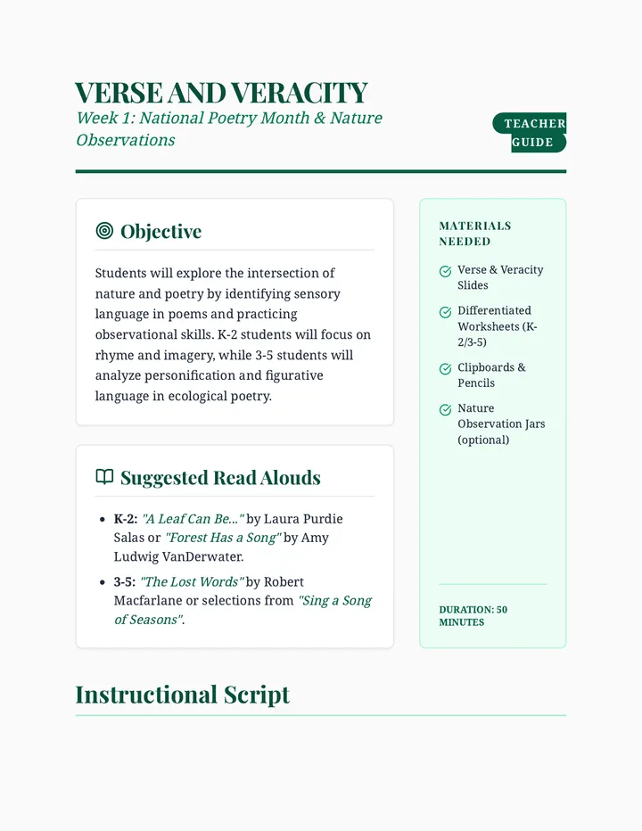
Verse and Veracity Teacher Guide

Media Center Year Curriculum

A comprehensive K-5 Media Center curriculum spanning August to May. Each month features a thematic unit integrating library skills (Dewey Decimal System, research, digital citizenship), literacy (poetry, biographies, informational texts), and STEM/Maker Space challenges. Resources are differentiated for K-2 and 3-5.

B

bethany.nied

50
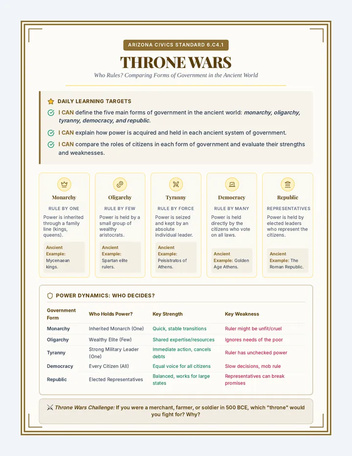
Throne Wars Anchor Chart

Rise of Civilization

A comprehensive 6th-grade social studies unit exploring the trajectory of human history, from nomadic hunter-gatherers and the cognitive evolution of early humans, to the agricultural revolution, and finally the development of structured ancient governments.

SZ

Sandy Zoerhoff

10
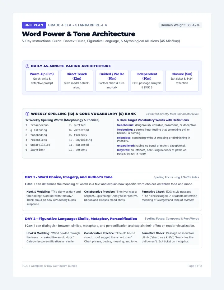
Word Power Lesson Plan

Fourth Grade Core Units

Fourth-grade standards-aligned instructional sequence featuring integrated English Language Arts literary analysis and North Carolina regional geography and historical development.

DG

Debra Golden

11
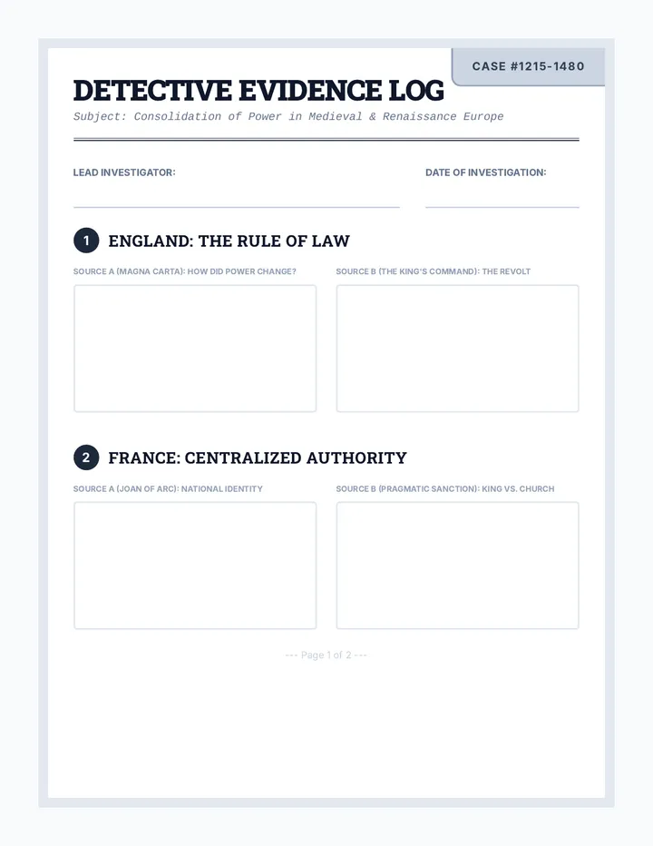
Detective Evidence Log Worksheet

Nation State Detectives

A comprehensive middle school history unit where students act as 'history detectives' to investigate the rise of nation-states in England, France, Spain, and Russia through primary source analysis.

HO

Helen O'Keefe

11
Spartan Stand Teacher Guide

Spartan Stand

A two-day exploration of the Battle of Thermopylae, focusing on strategic geography, historical context, and the concept of valor through evidence-based analysis and targeted vocabulary acquisition.

S

scortese

6