Lenny.com
Explore
Create
ActivitiesNewMathEnglish Language ArtsScience & EngineeringSocial StudiesGlobal LanguagesHealth & Physical EducationSpecial EducationCounseling & Life SkillsArts & CreativityESL
Lenny.com
Lenny.com
Explore
Create
ActivitiesNewMathEnglish Language ArtsScience & EngineeringSocial StudiesGlobal LanguagesHealth & Physical EducationSpecial EducationCounseling & Life SkillsArts & CreativityESL
Lenny.com
Lenny.com

Solutions

Lenny for EducatorsLenny for SchoolsLenny for Districts

Product

ExploreSign inCreateSupportAbout

Resources

Getting startedMTSS Acceleration Program

Newsletters

School Funding Newsletter

© 2026 Lenny Learning Inc.

TermsPrivacyAccessibility
LinkedInInstagramX
Lenny
Social StudiesSocial Studies PracticesLocation WordsMapsOrder EventsChronology and CausationEvaluating SourcesHistorical ThinkingGeography, Humans, & the EnvironmentAmerican Symbols and LandmarksCitiesStatesState CapitalsRegions of the United StatesGeographic SkillsPhysical GeographyHuman GeographyRegional GeographyGeography of AfricaGeography of AsiaGeography of EuropeGeography of OceaniaGeography of the AmericasSociety and Environment of EuropeSociety and Environment of AsiaSociety and Environment of The AmericasSociety and Environment of the Middle EastSociety and Environment of AfricaHistoryPrehistoryComparing Ancient River CivilizationsAncient MesopotamiaAncient Egypt and KushAncient South AsiaEarly ChinaGreeceRome and the Byzantine EmpireAncient World HistoryNative Peoples of North AmericaNative Peoples of Mesoamerica and South AmericaAfrican EmpiresMedieval AsiaMedieval EuropeThe Silk RoadMedieval HistoryIslamic EmpiresWorld ReligionsRenaissance PeriodAge of ExplorationThe Thirteen ColoniesThe American RevolutionUS History Early RepublicFounding of the United StatesUS History AntebellumUS Civil WarReconstruction PeriodThe Gilded AgeUS ImperialismWorld ImperialismWorld War IUS History 1920sGreat DepressionWorld War IIThe Cold WarUS History 1950-60sUS History 1960s-70sWorld History 20th CenturyContemporary US HistoryContemporary World HistoryHolidaysCivics and GovernmentCitizenshipGovernment FoundationsThe ConstitutionUS ConstitutionExecutive BranchLegislative BranchJudicial BranchState and LocalPolitical ParticipationPublic PolicyPolitical SystemsPower and AuthoritySocial MovementsDefining DevianceTheories of DevianceCrime and Criminal JusticeEconomicsBasic Economic PrinciplesSupply and DemandWhat is MoneyEconomic FundamentalsMicroeconomicsMacroeconomicsBanking and FinanceEconomic SystemsGlobal EconomicsCorporations and PowerThe Changing WorkplaceUnemployment and LaborClass and InequalitySocial MobilityGlobal InequalityPsychologyHistory of PsychologyPsychology as a ScienceBrain and Nervous SystemNeuroscience and BehaviorGenetics and BehaviorSleep and ConsciousnessSensory ProcessesPerceptual OrganizationClassical ConditioningOperant ConditioningObservational LearningCognitive LearningMemory ProcessesThinking and Problem SolvingLanguage and CognitionTheories of MotivationStress and CopingPrenatal and Infant DevelopmentChildhood DevelopmentAdolescent DevelopmentAdulthood and AgingSelf and IdentitySocial CognitionSocial InfluenceAttraction and RelationshipsGroup BehaviorPrejudice and DiscriminationAnxiety and Mood DisordersClinical PsychologyForensic PsychologyPhilosophy & EthicsIntroduction to PhilosophyMajor Philosophers & IdeasMind and Body ProblemFree Will vs DeterminismEthics & MoralityReligion & PhilosophyPolitical Philosophy

Citadels of the Indus

A comprehensive assessment suite for 9th-grade Ancient Civilizations on the Indus River Valley civilization, covering geography, urban planning, culture, and environmental decline.

Eebakke

Citadels of the Indus

A comprehensive assessment suite for 9th-grade Ancient Civilizations on the Indus River Valley civilization, covering geography, urban planning, culture, and environmental decline.

Eebakke
  1. Natural Protection & Rivers: Name one landform that protected the Indus Valley and explain how the river helped farmers. (2 pts)

Word Bank: [Himalayas / mountains / Thar Desert / silt / irrigation / water]

One natural barrier that protected the valley was the .

The Indus River helped farmers because it provided water and rich for growing crops.

  1. City Planning vs. Mesopotamia: How were Indus streets and bricks different from Mesopotamian cities? (2 pts)

Word Bank: [grid system / straight / oven-baked bricks / standard size / winding maze]

Indus cities had neat streets laid out in a instead of a winding maze.

Indus builders made their walls using standard bricks.

Planned Cities on the Indus Quiz • Modified Version Page 1 of 2 (Turn Over for Questions 9–13)

Section 2: Short Answer (Continued) Student Name:

  1. Plumbing & Sewage Systems: What did Harappan homes have for sanitation, and what does this show about their government? (2 pts)

Houses had private that drained wastewater into underground street sewers.

Building this organized system shows they had a strong government.

  1. Archaeological Clues: What do children's toys and a lack of weapons tell us about Harappan daily life? (2 pts)

Clay and wooden toys show people were prosperous enough to make goods.

Finding very few weapons suggests that war and conflict were .

  1. Trade Goods & Evidence: Name one item Harappans traded and one piece of evidence proving trade with Sumer. (2 pts)

Harappans traded valuable items such as brightly colored cloth and jewelry.

Archaeologists know they traded with Sumer because Indus merchant were found in Sumer.

  1. Causes of Decline: What natural events caused Indus cities to decay around 1750 B.C.? (2 pts)

Shifts in tectonic plates caused severe and changed the course of rivers.

Because rivers dried up and soil was overused, people could no longer grow enough .

Section 3: Guided Paragraph Response

1 Prompt • 6 Points Total

Prompt: How do physical ruins prove the Indus Valley had a strong central government?

Complete the guided paragraph below. Fill in the blanks and finish each sentence using details from the box.

Key Words: • grid system • oven-baked bricks • plumbing & sewage • flood levees • central planning

Claim: Archaeological evidence clearly proves that the Indus Valley had an organized central government because .

First Evidence: For example, their cities were laid out on a precise , and all buildings used standard .

Second Evidence: In addition, early engineers constructed advanced systems to carry wastewater out of homes.

Explanation: This physical evidence shows strong government control because individual people could not have built

Conclusion: In conclusion, the uniform planning across many cities proves that .

Planned Cities on the Indus Quiz • Modified Version Page 2 of 2 • Assessment Complete

2 pts: Contrasts both streets AND bricks. 1 pt: Explains only street layout or brick difference. Modified Key: grid system; oven-baked.

9. Plumbing & Central Administration 2 Points Possible

Exemplary Answer: Houses had private indoor bathrooms with sloping floors where wastewater flowed into covered brick street sewers and emptied into city sewage pits. This demonstrates strong central government because citywide underground infrastructure requires centralized planning, standardized engineering, and public tax coordination.

2 pts: Describes plumbing system + links to government. 1 pt: Describes plumbing without explaining governance. Modified Key: bathrooms; central.

Planned Cities on the Indus Quiz • Teacher Answer Key Page 1 of 2 (Turn Over for Questions 10–13 & Rubric)

Section 2 (Continued) & Section 3 Rubric Guide Grading Benchmark

10. Archaeological Clues about Daily Life (2 pts) Social Equality & War

Exemplary Answer: Uniform housing sizes suggest social divisions and wealth inequality were relatively minor. Artifacts like clay/wooden toys indicate a prosperous society that could produce luxury nonessentials. The scarcity of weapons indicates limited warfare and a peaceful culture.

Modified Key: nonessential / luxury; limited / rare.

11. Trade Networks & Proof of Contact (2 pts) Commerce & Artifacts

Exemplary Answer: Goods included brightly colored cotton cloth, copper, lumber, gold/silver (Afghanistan), and semiprecious stones/jewelry (Deccan/Persia). Trade with Sumer (Mesopotamia) is proven by Indus merchant stone seals discovered in Sumerian ruins.

Modified Key: cotton / jewelry; seals / stamps.

12. Environmental Collapse & Geological Shifts (2 pts) Decline ~1750 B.C.

Exemplary Answer: Satellite imagery revealed tectonic plate shifts that caused earthquakes and floods, altering the Indus River's flow and causing the Sarswati River to dry up. This destroyed trade routes, while agricultural soil exhaustion prevented feeding large urban populations.

Modified Key: earthquakes / floods; food / crops.

Section 3: Paragraph Response Analytic Rubric (6 Points)

Standard & Modified Grading Criteria

DimensionFull CreditPartial CreditZero Credit
Claim (1 pt)Clearly asserts that physical/archaeological evidence confirms strong central governance. (1 pt)Vague or incomplete assertion. (0.5 pt)Missing claim. (0 pts)
Evidence (2 pts)Cites 2+ distinct archaeological details: standard baked bricks, 30-ft grid streets, citadels, or covered sewers. (2 pts)Cites only 1 piece of evidence or provides generic non-textual facts. (1 pt)No factual evidence cited. (0 pts)
Reasoning (2 pts)Explains WHY uniformity and public works require centralized authority, laws, and taxation rather than individual whims. (2 pts)States evidence without connecting it to how governments operate. (1 pt)No analytical connection made. (0 pts)
Structure (1 pt)Complete paragraph with clear topic sentence, supporting details, and wrap-up sentence. (1 pt)Fragmented or run-on sentences. (0.5 pt)Incomplete thoughts. (0 pts)

Model Student Exemplar Paragraph (Standard Version):

"Although historians cannot read the Indus script, the architectural consistency of Harappan ruins provides undeniable proof of a powerful central government. First, cities like Harappa and Mohenjo-Daro were organized on uniform grid patterns with defensive citadels and built entirely of oven-baked bricks manufactured in standard dimensions. Second, engineers installed citywide underground sewage and drainage networks connecting every home's bathroom to municipal street gutters. These monumental public works could not have emerged spontaneously; they required centralized leadership with the authority to enforce building codes, coordinate thousands of skilled laborers, collect taxes, and maintain civic infrastructure. Thus, the material ruins clearly demonstrate an advanced, unified administration."

Scoring Notes for Modified Form: Award full credit on the modified version if students correctly complete the sentence stems demonstrating basic comprehension of grid planning, plumbing, and centralized coordination. Do not penalize for phonetic spelling or minor grammatical errors in fill-ins.

Planned Cities on the Indus Quiz • Teacher Answer Key Page 2 of 2 • Evaluation Complete
You might also like

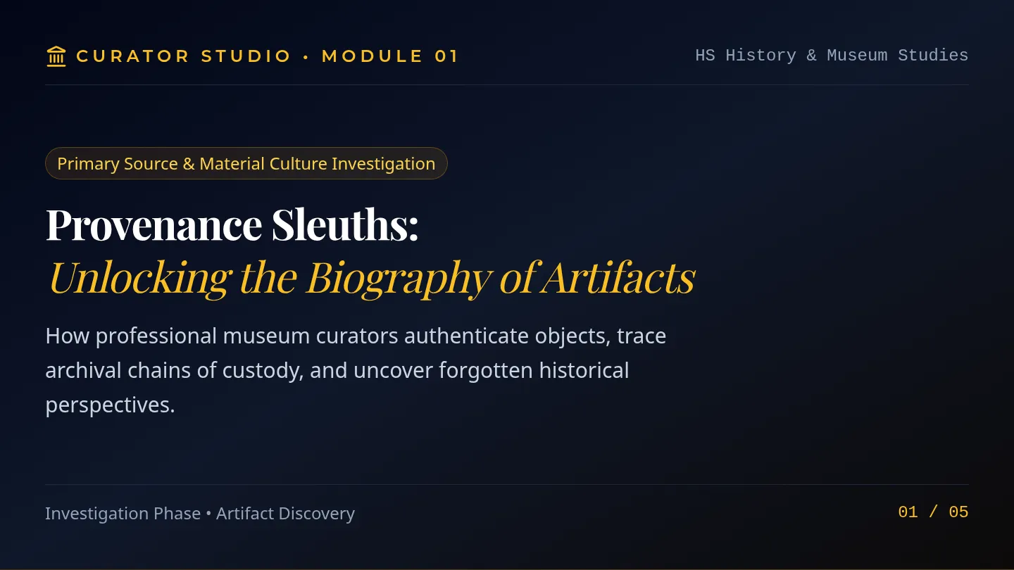
Provenance Sleuths Slides

Curator Studio

A comprehensive project sequence guiding high school students through professional museum curation, artifact evaluation, historical storytelling, and polished exhibit design.

Lenny Avatar
Lenny
6
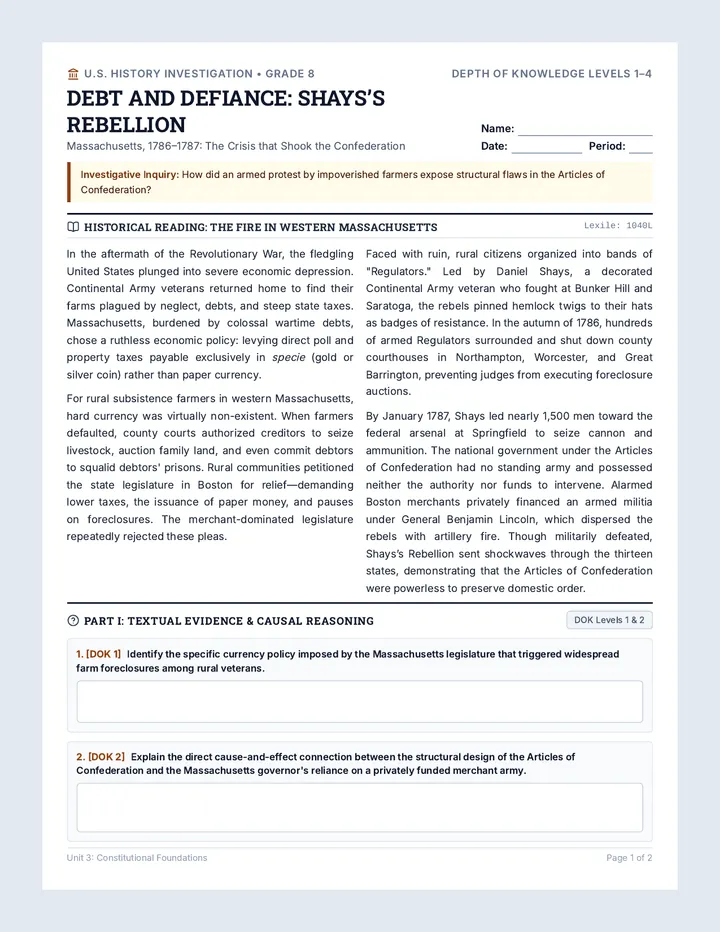
Rebel Farmers Grade 8 Worksheet

Debt and Defiance

An inquiry-driven historical investigation into Shays's Rebellion, exploring economic crisis under the Articles of Confederation and the spark for the US Constitution. Includes dual-differentiated student exercises for 8th and 5th grades across DOK levels 1 through 4, accompanied by a comprehensive teacher key and rubric.

GE

Genevieve Eubanks

3
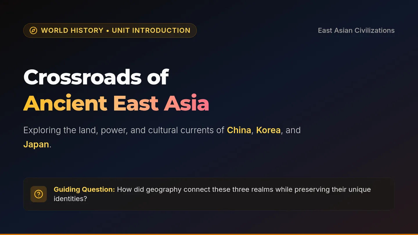
East Asia Crossroads Slides

East Asia Crossroads Slides

A 7-slide introductory presentation on Ancient China, Korea, and Japan, featuring a foundational introductory overview paragraph followed by in-depth regional profiles, shared connections, and class discussion prompts.

EA

Elgin Arave

Business Blueprint Slides

Market Makers

A hands-on introductory curriculum that equips students with foundational business acumen and marketing savvy through practical entrepreneurial challenges, financial basics, and campaign design.

D

despinoza

9
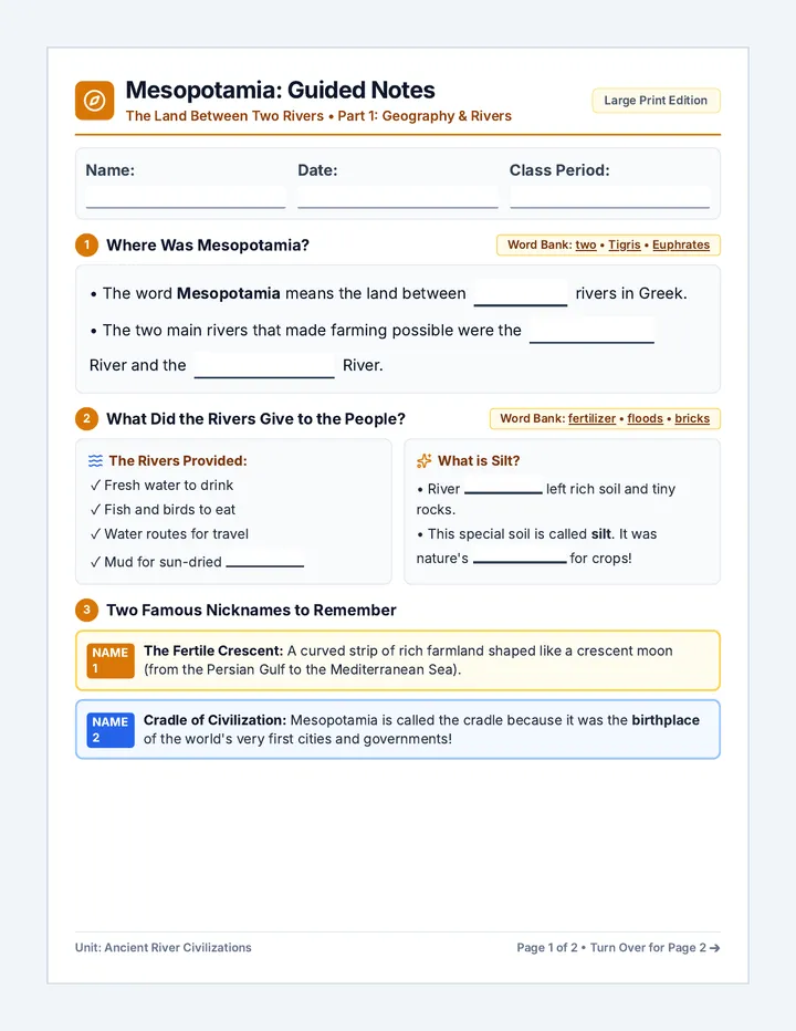
Mesopotamia Guided Notes Handout

Mesopotamia River Valley

A foundational ancient civilizations lesson covering Mesopotamia's geography, the Tigris and Euphrates rivers, agricultural innovations like irrigation, and the development of early cities and government.

KF

Kara Francis

3
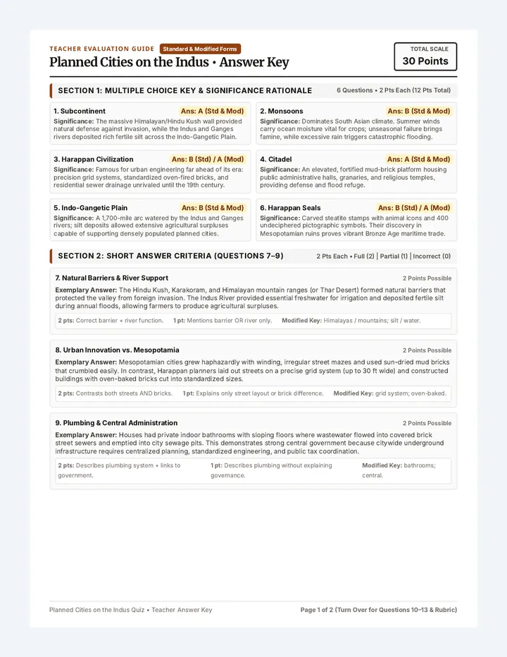
Indus Valley Quiz Key

Indus Valley Quiz Key

A comprehensive teacher answer key and 30-point scoring guide for both standard and modified quizzes, featuring question-by-question rationales, rubric, and model responses.

E

ebakke

Hemisphere Hunt Slides

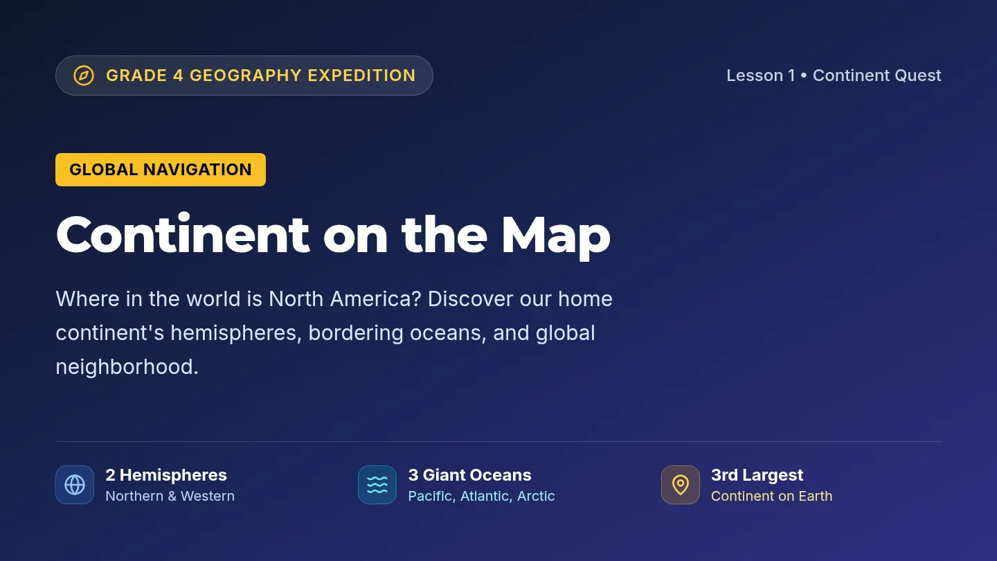
Continent Quest

A 4th-grade geography sequence introducing students to North America through map navigation, regional comparisons, and landform exploration. Students investigate hemisphere locations, the three major nations, and iconic geographic features across the continent.

E

ehdunn

9
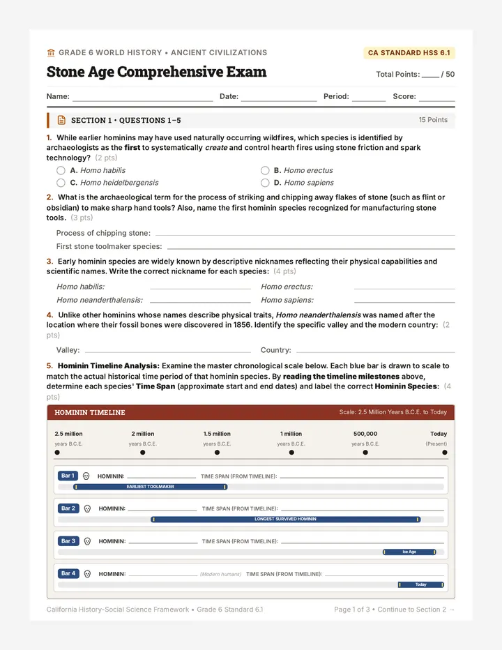
Stone Age Comprehensive Exam

Stone Age Assessment

A comprehensive assessment suite covering early hominin development, Paleolithic hunter-gatherer societies, and the Neolithic Agricultural Revolution aligned to California History-Social Science Standard 6.1. Includes general and IEP-adapted exam versions alongside a detailed teacher answer key and scoring guide.

DC

Dennis Cronin

3
Camera Tricks Slides

Pixel Sleuths

A 3-part media literacy unit for middle school students on analyzing visual media, spotting manipulated photos, and verifying online sources using lateral reading.

Lenny Avatar
Lenny
9
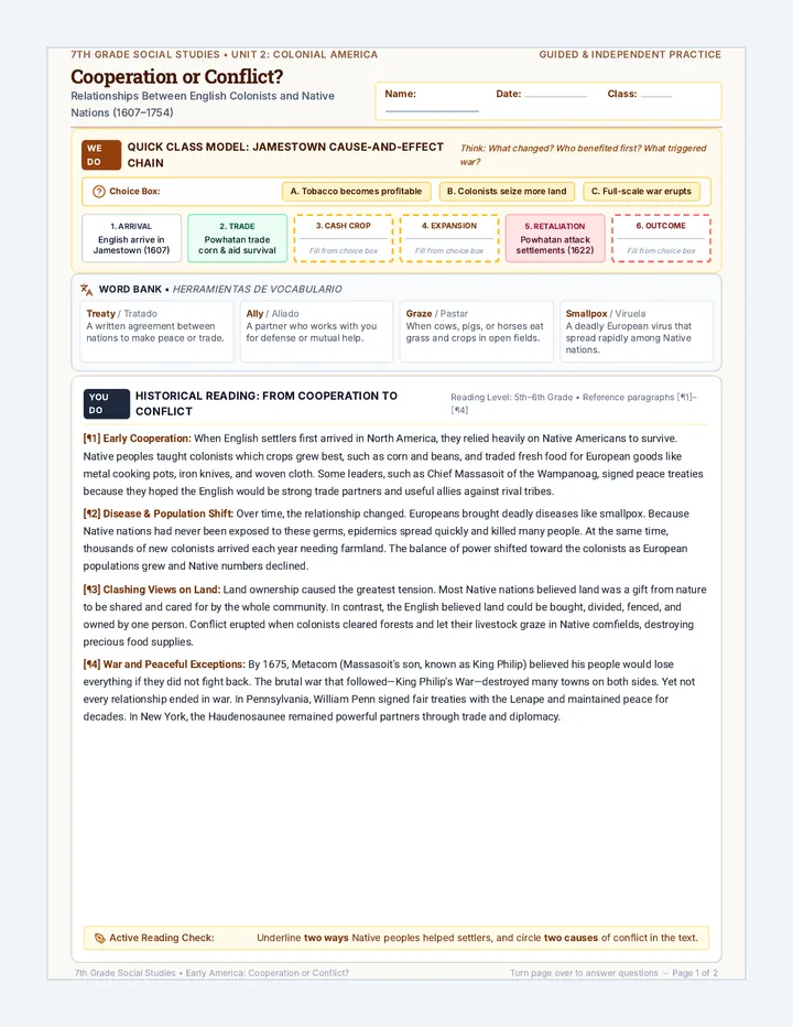
Cooperation or Conflict Worksheet

Cooperation or Conflict

A 7th grade social studies lesson investigating early colonial and Native American interactions, examining how initial trade and cooperation gave way to conflict over land, disease, and differing worldviews.

AN

Austin Nowak

2
Store Master Syllabus Guide

Campus Store Launchpad

An eight-week experiential introduction to marketing centered around operating and scaling a campus retail store. Students master brand positioning, assortment strategy, pricing mechanics, visual merchandising, and sales analytics through authentic store management.

D

despinoza

8
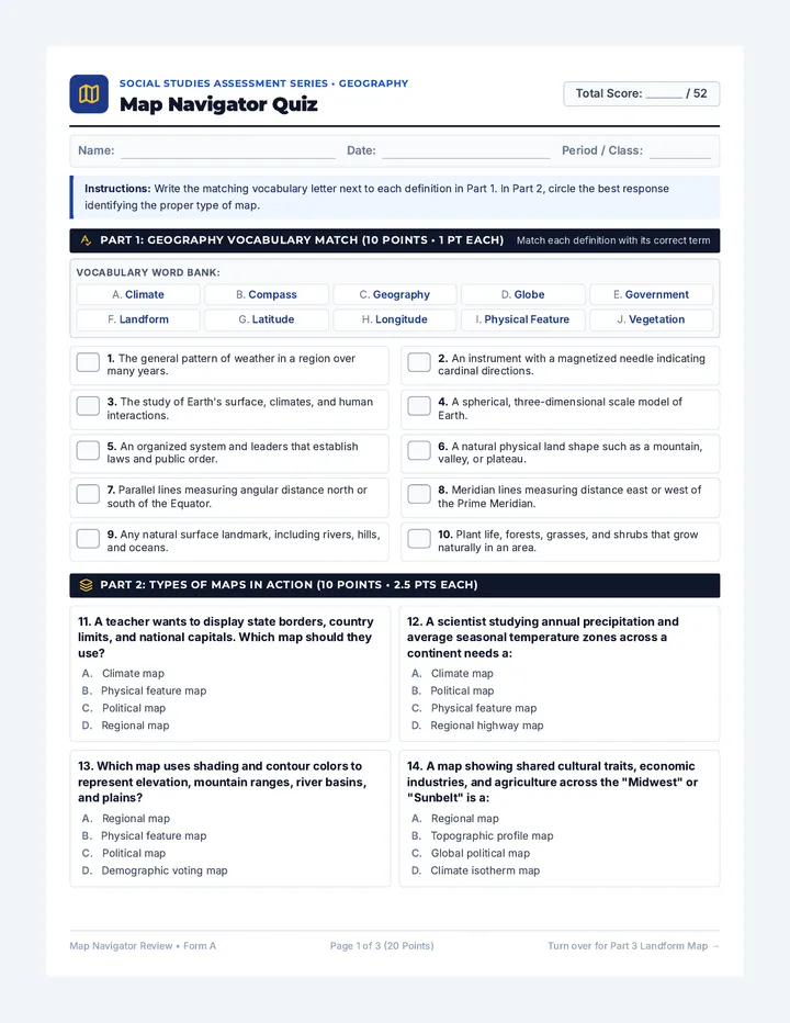
Map Navigator Quiz

Map Navigator

A comprehensive geography and cartography lesson focused on essential map skills, physical landforms, world continents and oceans, and regional vegetation in the United States. Students explore map types, navigate spatial coordinates, and master physical geography terminology through visual analysis and labeling.

EM

Evangelia Moran

3