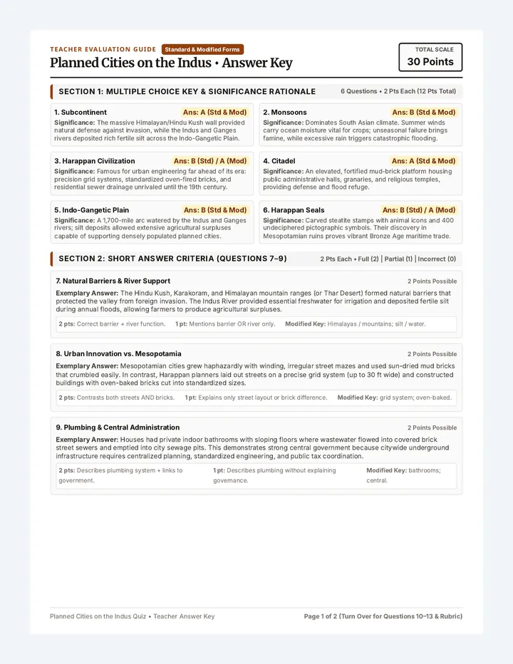
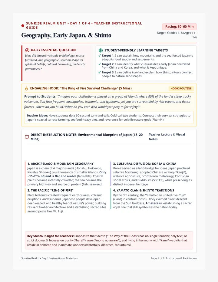
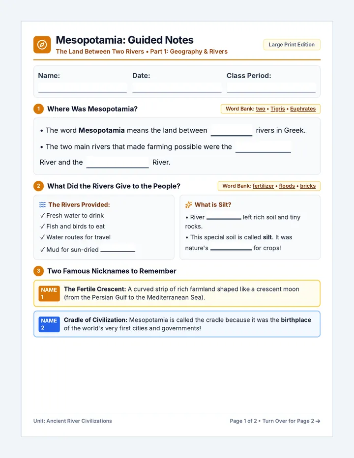
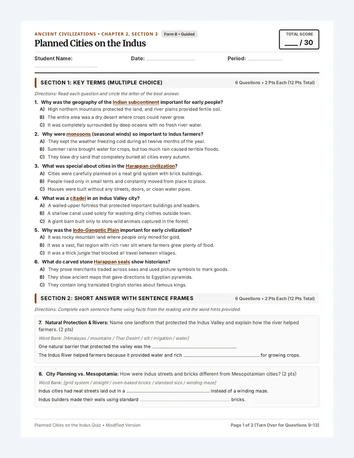
Fifty States Mastery Worksheet
Cartography Lab U.S. Geography Series • 50 States Challenge
Total Points: 50 pts
Fifty States Mastery Worksheet
Identify all 50 United States through outlines, regional coordinates, matching, and detective clues.
Name:
Date:
Class:
Period:
PART 1
Iconic Coast-to-Coast Silhouettes (States 1–6)
Write the full state name, 2-letter postal abbreviation, and capital city
#1 Lone Star
State:
Abbr:
Capital:
#2 Golden State
State:
Abbr:
Capital:
#3 Sunshine
State:
Abbr:
Capital:
#4 Great Lakes
State:
Abbr:
Capital:
#5 Pelican Boot
State:
Abbr:
Capital:
#6 Last Frontier
State:
Abbr:
Capital:
PART 2
Regional Matrix: Northeast & Mid-Atlantic (States 7–18)
Write the full State Name and 2-letter Postal Code [ ]
#7 Northernmost New England; borders Canada and only NH
#8 Granite State; Mount Washington summit, 18-mi Atlantic coast
#9 Green Mountain State nestled between NY and Lake Champlain
#10 Bay State; Cape Cod peninsula, Boston Harbor, Berkshires
#11 Ocean State; smallest total land area in the United States
#12 Constitution State; south of MA along Long Island Sound
#13 Empire State; Lake Ontario, Hudson River, Adirondack Mtns
#14 Garden State; peninsula between Delaware River & Atlantic
#15 Keystone State; founded by William Penn, touches Lake Erie
#16 First State; first to ratify U.S. Constitution in 1787
#17 Old Line State; divided by Chesapeake Bay; surrounds D.C.
#18 Mountain State; separated from Virginia in 1863; Charleston
Geographic Clue Tip: Notice how physical features like waterways (Lake Erie, the Delaware River, and Chesapeake Bay) often serve as natural political boundaries for Mid-Atlantic states!
Progress: States 1–18 Complete (Silhouettes & Northeast/Mid-Atlantic)
Page 1 of 3 Continue to Page 2 for South & Midwest Heartland →
PART II
The American South & Midwest Heartland
Student Name:
States 19–36 (18 pts)
PART 3
The American South (States 19–28)
State Name + 2-Letter Postal Code [ ]
#19 Old Dominion; borders Chesapeake Bay & Potomac River
#20 Tar Heel State; Outer Banks islands, Cape Hatteras, Raleigh
#21 Palmetto State; historic Charleston harbor, Myrtle Beach
#22 Peach State; largest land area east of the Mississippi River
#23 Heart of Dixie; between MS & GA; touches Mobile Bay
#24 Magnolia State; west border is Mississippi River; Jackson
#25 Volunteer State; borders 8 states; Great Smoky Mountains
#26 Bluegrass State; bounded north by Ohio River; Mammoth Cave
#27 Natural State; Ozark Mountains, Hot Springs, Little Rock
#28 Sooner State; distinctive panhandle bordering TX, NM, CO
PART 4
The Midwest Heartland & Great Lakes (States 29–36)
State Name + 2-Letter Postal Code [ ]
#29 Buckeye State; links Lake Erie on north to Ohio River on south
#30 Hoosier State; centered between Illinois & Ohio; Indianapolis
#31 Prairie State; Lake Michigan shore, Chicago, Mississippi River
#32 Badger State; bordered by Lake Superior and Lake Michigan
#33 Land of 10,000 Lakes; source of the Mississippi River at Itasca
#34 Hawkeye State flanked by Mississippi and Missouri rivers
#35 Show-Me State; meeting place of Missouri & Mississippi rivers
#36 Sunflower State; geographic center of the lower 48 states
River Basin Check: The Mississippi River system touches or borders 10 different states from Minnesota down to Louisiana. Notice how states on both sides of the river (like Iowa/Illinois and Missouri/Kentucky) share vital economic and geographic connections!
Progress: States 19–36 Complete (South & Midwest Heartland)
Page 2 of 3 Continue to Page 3 for West, Matching & Detective Prompts →
PART III
The Great West, Matching & Cartographic Detective
Student Name:
States 37–50 (14 pts)
PART 5
Northern Plains & Mountain West (States 37–42)
State Name + Postal Code [ ]
#37 Peace Garden State on Canadian border; capital Bismarck
#38 Mount Rushmore State; Black Hills and Badlands landscapes
#39 Cornhusker State traversed by Platte River; Lincoln capital
#40 Big Sky Country; Glacier National Park & Rocky Mountains
#41 Equality State; Yellowstone, Grand Teton; lowest population
#42 Centennial State; highest average elevation in the U.S.
PART 6
Southwest & Desert Hallmark Matching (States 43–46)
Write the correct letter (A, B, C, or D) inside each box
43. [ ] Utah (UT) Beehive State
44. [ ] Nevada (NV) Silver State
45. [ ] Arizona (AZ) Grand Canyon State
46. [ ] New Mexico (NM) Land of Enchantment
A. Saguaro cactus deserts, Hoover Dam, and the Colorado River chasm.
B. White Sands gypsom dunes, Carlsbad Caverns, and Santa Fe capital.
C. Great Salt Lake, Zion & Arches National Parks, Wasatch Mountains.
D. Most mountainous state; Great Basin Desert, Lake Tahoe, and Carson City.
PART 7
Cartographic Detective: Short-Answer Prompts (States 47–50)
Use geographic reasoning to identify the final 4 mystery states
- Known as the "Evergreen State," this Northwest state features Puget Sound, Mount Rainier in the Cascade Range, and Olympia as its capital city:
State:
- The "Beaver State" is home to Crater Lake (the deepest lake in the nation), the Columbia River Gorge border, and Salem as its capital:
State:
- Known as the "Gem State," this rugged Northwest state borders six states plus Canada, features Hells Canyon, and has Boise as its capital:
State:
- The 50th state admitted to the Union; an archipelago made entirely of volcanic islands located in the tropical Pacific Ocean with Honolulu as its capital:
State:
50 STATES MASTERED Parts 1–7 Comprehensive Verification
Teacher Signature:
Score: _____ / 50
Completion Status: All 50 States Addressed Across 7 Distinct Sections
Page 3 of 3 Completed Assessment