City Sleuths Research Guide
Grade 6 Social Studies Global & US City Research
City Sleuths Research Guide
Verified, ad-safe, and free web destinations for investigating world & American cities.
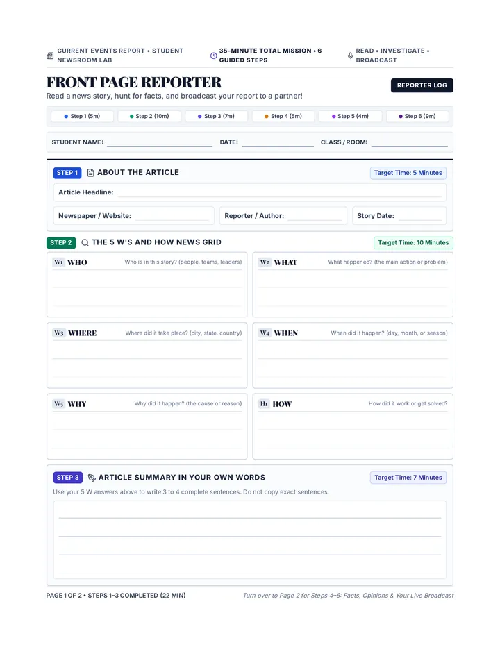
Researcher:
Date / Period:
Safe Surfing Notice: Every resource below is free, student-friendly, and vetted for middle schoolers. You won't run into paywalls, cluttered travel ads, or commercial booking popups.
Category 1: Best All-Around City Encyclopedias
Start your broad overview here
Britannica Kids
US & World
kids.britannica.com
Clear three-level reading switcher (Middle School is Level 2). Search any major city name for history, layout, culture, and economic summaries.
Best For: History timelines, verified maps, and leveled text.
Ducksters Geography
Fast Facts
ducksters.com/geography
Quick bulleted facts, climate overviews, major landmarks, and bite-sized paragraphs. Extremely easy to skim when gathering basic statistics.
Best For: Fast fast-facts, landmark lists, and quick stats.
DK Find Out!
Visual Guide
dkfindout.com
Highly visual encyclopedia with clickable diagrams of iconic city structures (e.g., Tokyo Tower, Eiffel Tower, Empire State Building, Pyramids).
Best For: Visual diagrams, architecture, and kid-friendly trivia.
Category 2: Dedicated US City Portals & Real Data
Official data & primary sources
U.S. Census: QuickFacts for Kids
census.gov/quickfacts
US Data
Type any US incorporated city or town into the search bar. You will receive official tables of population, housing types, racial diversity, languages spoken at home, and median income.
6th-Grade Sleuth Tip: Compare two US cities side-by-side using the "+ Add Geography" comparison button at the top!
Library of Congress (Loc.gov)
loc.gov/classroom-materials
US History
Access the largest digital collection of historical photographs, vintage city panoramic maps, and primary source letters documenting how major American cities grew over the last 200 years.
6th-Grade Sleuth Tip: Search "[City Name] panoramic map" to show your class what your city looked like before skyscrapers were built!
3 Search Strategies Every 6th Grader Should Use
1. Avoid "Travel Blogs"
Travel agency blogs want to sell hotel rooms, not give you accurate geographic & demographic facts. Stick to educational domains.
2. Target .org & .gov
When searching Google, type: site:.gov "Denver" climate to find strictly verified state government and city portal data.
3. Record As You Go
Write down the website title, author/organization, and the date you found the fact on your bibliography log before closing your tab.
City Sleuths Project Reference Sheet Page 1 of 2 • Continue on reverse for Global Tools & Evaluation Checklist
2
Global Explorer & Specialized Investigation Tools
Culture, geography, satellite mapping, and source validation
Independent Research Station
Category 3: International Cities & Daily Life
Culture, languages, foods & viewpoints
Nat Geo Kids
Culture
kids.nationalgeographic.com
Explore the "Countries" hub for in-depth looks at capital cities, wildlife in surrounding regions, cultural festivals, traditional foods, and native customs.
Best For: Vivid photography, cultural traditions, and animal habitats.
Google Arts & Culture
Virtual Tour
artsandculture.google.com
Allows students to take 360-degree street tours inside world-famous museums, historic neighborhoods, and UNESCO World Heritage sites in cities worldwide.
Best For: 360° virtual walking tours, museum exhibits, and street life.
Time for Kids (TFK)
Current Life
timeforkids.com
Features interviews with real kids living in international cities, explaining what school is like, how they travel around town, and their favorite sports.
Best For: Day-in-the-life perspectives and current youth culture.
Category 4: Climate, Maps & Physical Geography
Coordinates, elevations, & annual weather
WorldAtlas: Cities of the World
worldatlas.com/cities
Mapping
Provides exact geographic coordinates (Latitude / Longitude), elevation above sea level, bordering bodies of water, and clean regional locator maps.
Project Use: Essential for plotting your city's exact coordinates on your presentation map!
WeatherSpark Climate Explorer
weatherspark.com
Climate
Generates color-coded graphs showing average monthly temperatures, rainy seasons, snow depth, and humidity for nearly every city across the globe.
Project Use: Discover which season is hottest/coldest and what clothes travelers should pack.
Don't Forget Your Secret Weapon: Free Public Library Databases!
With your student ID or local public library card, you can log in to premium, 100% ad-free research suites without paying a penny. Ask your librarian or search your district portal for:
World Book Student: Outstanding digital atlases, audio pronunciation of city names, and citation generators.
Gale in Context (Middle School): Curated newspaper articles, historical overviews, and primary documents on world cities.
The 6th-Grade C.A.R.S. Credibility Test
Check off each item before including a fact in your report!
C Credibility
Can you identify the author or publishing organization? Are they geography or education experts?
A Accuracy
Can you verify this statistic (e.g. population) on at least two independent websites?
R Recency
Is the data up-to-date? Population data should ideally be from the most recent census or within the last 5 years.
S Source Type
Is this page trying to inform you (factual) or sell you a plane ticket or hotel room (commercial)?
City Sleuths Project Reference Sheet Page 2 of 2 • Ready for print & digital distribution