Jakarta Submerged Slides Global Geography: Case Study
JAKARTA
SUBMERGED
Investigating the collision of population density, urban engineering, and environmental crisis.
SURVIVAL PROTOCOL 24-J
WARM-UP: MYSTERY CITY
Observe the following images of a global metropolis.
Photo 1:
Photo 2:
BRAINSTORM (5 MIN):
Where in the world might this be?
What are three potential causes for this persistent flooding?
THE CASE: JAKARTA
CASE STUDY
Location
Java, Indonesia. A coastal metropolis sitting at the mouth of 13 major rivers.
Population Density
15,000+
people per sq. km
The Sinking Reality
Jakarta is sinking at a rate of up to 25cm (10 inches) per year in some areas. North Jakarta has sunk 2.5 meters in 10 years.
The Big Question
Why does this city flood so easily, and what can be done to save it?
VIDEO INVESTIGATION
Embedded media
Watch for: Delta geography, Subsidence, and Impervious surfaces.
THE CRITICAL FACTORS
1. Delta Location
Sitting at the mouth of 13 rivers. When monsoons hit the mountains, all that water funnels directly into Jakarta's doorstep.
2. Subsidence
Groundwater extraction (illegal wells) causes the land to literally collapse and sink, making it lower than sea level.
3. Impervious Surfaces
Urban pavement and concrete prevent rain from soaking into the soil, creating "flashy" watersheds and instant floods.
SINKING CITIES SUMMIT
The year is 2026. Jakarta is at its breaking point.
The Mission
Form a task force of specialists to propose a 3-point survival plan for the city.
The Requirements
Your plan must directly address: • Delta inflow management • Halting subsidence • Managing impervious runoff
ROLES:
Urban Planner
Environmentalist
Local Resident
Rice Farmer
SUMMIT WRAP-UP
EXIT TICKET:
"Which factor is hardest to solve for Jakarta: the natural geography or the human engineering? Defend your answer with one specific detail from today's evidence."
TURN IN RESPONSES BEFORE DISMISSAL
Jakarta Survival Fact Sheet Jakarta Survival Fact Sheet
Global Geography Case Study: The Sinking Metropolis
RESTRICTED DATA
REF: IDN-JKT-2026
Name
Date
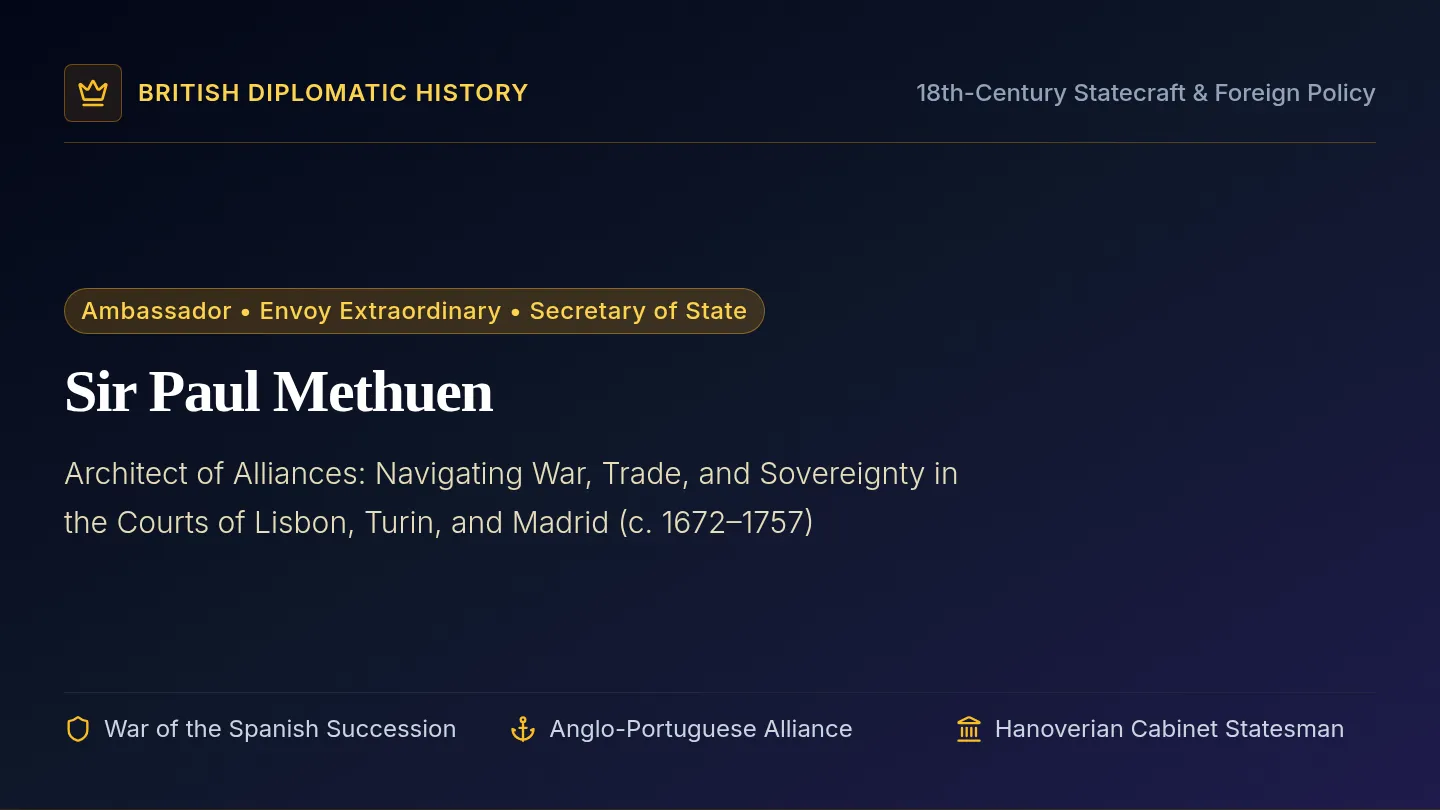
Jakarta is the capital of Indonesia and one of the most populous urban areas on Earth. It is currently facing an existential threat: it is the fastest-sinking city in the world. By 2050, researchers estimate that 95% of North Jakarta could be submerged.
1
Geography: The Delta Trap
Jakarta is built on a flat, low-lying coastal plain where 13 major rivers converge before flowing into the Java Sea.
Seasonal Risk
Monsoon rains (Nov–Apr) funnel water from the mountains directly into the city basin.
Sea Level Rise
Global sea levels are rising, pushing salt water inland into the river channels.
2
Human Impact: Subsidence
Because the city cannot provide enough piped water for 10 million people, residents and industries dig illegal wells to tap into underground aquifers.
The Collapse
As water is sucked out, the soil layers above compress. The land sinks by up to 10 inches per year.
Gravity Problem
When the land sinks below sea level, rivers can no longer drain into the sea naturally.
3
Urban Design: Impervious Surfaces
Jakarta’s rapid urbanization has covered the natural sponges (forests and wetlands) with concrete, asphalt, and buildings.
Runoff Velocity
Water can't infiltrate (soak in). It stays on top, moving fast and causing "flashy" floods.
Infrastructure Gap
Old canals and drainage pipes are often clogged with trash or too small for current volumes.
Vital Statistics: Jakarta vs. Water
Metric Data Point Impact Level Annual Sinking Rate 1 cm to 25 cm CRITICAL City Below Sea Level 40% (and growing) CRITICAL Drinking Water from Pipes Only ~60% of households HIGH Historical Landscape Mangroves & Rainforest STABILIZING
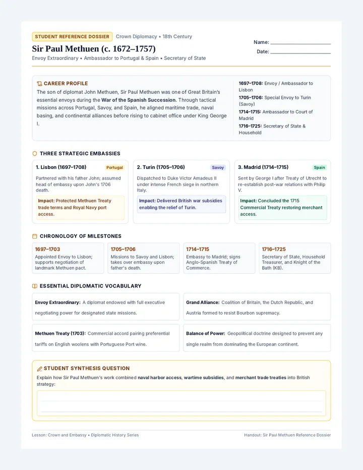
Sinking Summit Role Cards Sinking Cities Summit
Task Force Assignment: Project Jakarta 2050
MISSION DIRECTIVE
Your group represents a special task force. You must agree on a 3-point survival plan . Each point must address one of the three core problems: Delta Inflow , Subsidence , or Impervious Surfaces . Be prepared to defend your plan from your character's perspective.
Urban Planner
Strategic Infrastructure Specialist
Perspective: You favor large-scale engineering. You believe in "The Great Sea Wall" (Giant Garuda) and modernizing the canal system.
"We can't stop the rain, but we can control where it goes with concrete and pumps."
Environmentalist
Ecosystem Recovery Expert
Perspective: You hate concrete. You want to restore the "kidneys of the city"—wetlands and mangroves—to naturally absorb water and filter pollutants.
"Working with nature is cheaper and safer than trying to defeat it with walls."
Local Resident
North Jakarta Community Leader
Perspective: Your home floods every year. You are worried about being forced to move (relocation) and want affordable clean water so you can stop using illegal wells.
"I don't care about a wall if I can't even get clean water for my children today."
Rice Farmer
Agricultural Stakeholder
Perspective: You live upstream. The city blames your farming for runoff. You need the water for your crops but are being asked to plant trees instead.
"If I stop farming to save the city downstream, who is going to feed my family?"
SUMMIT PROPOSAL
Action Point 1: Managing the Delta (Rivers)
Action Point 2: Stopping Subsidence (Sinking)
Action Point 3: Addressing Pavement (Runoff)
TASK FORCE GROUP ID: ________
APPROVAL REQUIRED
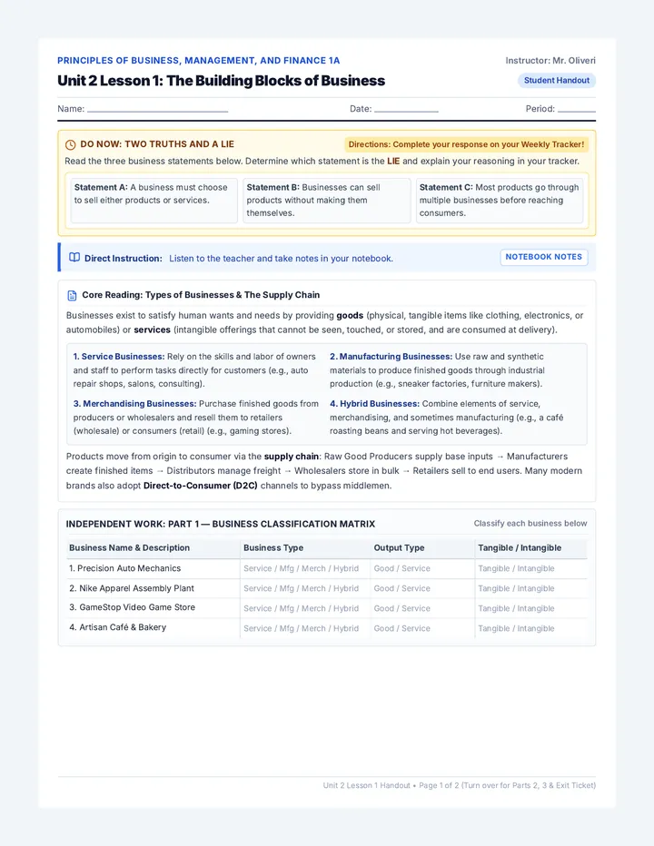
Jakarta Forecast Exit Ticket Jakarta Forecast
Exit Ticket REF-JKT-A
Name
Class Period
Which factor is hardest to solve for Jakarta: the natural geography or the human engineering?
Natural Geography
Human Engineering
Justification (provide one specific detail as evidence):
Jakarta Forecast
Exit Ticket REF-JKT-B
Name
Class Period
Which factor is hardest to solve for Jakarta: the natural geography or the human engineering?
Natural Geography
Human Engineering
Justification (provide one specific detail as evidence):
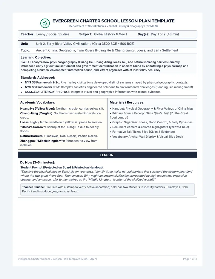
Sinking City Teacher Guide Sinking City Teacher Guide
Lesson: Jakarta Submerged (High School Social Studies)
Pacing Guide
Warm-up: Mystery City 5 min
Case Study Video 10 min
Sinking Summit Activity 25 min
Exit Ticket / Closure 5 min
Key Learning Objectives
Identify 3 primary causes of urban flooding.
Explain the relationship between groundwater and subsidence.
Evaluate urban solutions from stakeholder perspectives.
Instructional Walkthrough
01
Warm-up (Mystery City)
Use Slide 2. Do not reveal the city name initially. Encourage students to look for visual clues (license plates, vegetation, architecture). This builds curiosity and hooks them into the geographic context.
02
Video Study (3:16 - 5:57)
Stop at 5:35 to discuss the subsidence diagram. Ask: "Why does removing water cause the land to sink?" Ensure students understand that aquifers are like sponges that support the soil above.
03
Sinking Summit Activity
Group students into task forces of 4. Hand out the Role Cards and Fact Sheet . Challenge them to find a solution that satisfies at least 3 of the 4 roles. This forces compromise and debate on budget vs. environment vs. social needs.
Activity Response Guide
Issue: Delta Inflow
Expected Solutions: Giant Sea Wall (Great Garuda), massive pumping stations, or upstream dams. Environmentalists might suggest mangrove buffers to absorb storm surges.
Issue: Subsidence
Expected Solutions: Banning deep groundwater extraction, building more piped water infrastructure, or "Rainwater Harvesting" to recharge aquifers.
Issue: Impervious Surfaces
Expected Solutions: Building "Sponge Cities" (green roofs, permeable pavement), restoring urban wetlands, or widening clogged canals (relocation may be required).
Common Misconception
Students often think it's just rising sea levels. Emphasize that Jakarta is sinking much faster than the sea is rising—the primary threat is human extraction of water.
Extension Activity
Research the "Nusantara" project—Indonesia's plan to move the capital city to East Kalimantan on the island of Borneo. Why are they moving instead of just fixing Jakarta?