Lenny.com
Explore
Create
ActivitiesNewMathEnglish Language ArtsScience & EngineeringSocial StudiesGlobal LanguagesHealth & Physical EducationSpecial EducationCounseling & Life SkillsArts & CreativityESL
Lenny.com
Lenny.com
Explore
Create
ActivitiesNewMathEnglish Language ArtsScience & EngineeringSocial StudiesGlobal LanguagesHealth & Physical EducationSpecial EducationCounseling & Life SkillsArts & CreativityESL
Lenny.com
Lenny.com

Solutions

Lenny for EducatorsLenny for SchoolsLenny for Districts

Product

ExploreSign inCreateSupportAbout

Resources

Getting startedMTSS Acceleration Program

© 2026 Lenny Learning Inc.

TermsPrivacyAccessibility
LinkedInInstagramX
Lenny

State Capitals

Identification and location of the fifty U.S. state capitals within their respective regions. Connects administrative centers to geographic landmarks and historical development.

Social StudiesSocial Studies PracticesLocation WordsMapsOrder EventsChronology and CausationEvaluating SourcesHistorical ThinkingGeography, Humans, & the EnvironmentAmerican Symbols and LandmarksCitiesStatesState CapitalsRegions of the United StatesGeographic SkillsPhysical GeographyHuman GeographyRegional GeographyGeography of AfricaGeography of AsiaGeography of EuropeGeography of OceaniaGeography of the AmericasSociety and Environment of EuropeSociety and Environment of AsiaSociety and Environment of The AmericasSociety and Environment of the Middle EastSociety and Environment of AfricaHistoryPrehistoryComparing Ancient River CivilizationsAncient MesopotamiaAncient Egypt and KushAncient South AsiaEarly ChinaGreeceRome and the Byzantine EmpireAncient World HistoryNative Peoples of North AmericaNative Peoples of Mesoamerica and South AmericaAfrican EmpiresMedieval AsiaMedieval EuropeThe Silk RoadMedieval HistoryIslamic EmpiresWorld ReligionsRenaissance PeriodAge of ExplorationThe Thirteen ColoniesThe American RevolutionUS History Early RepublicFounding of the United StatesUS History AntebellumUS Civil WarReconstruction PeriodThe Gilded AgeUS ImperialismWorld ImperialismWorld War IUS History 1920sGreat DepressionWorld War IIThe Cold WarUS History 1950-60sUS History 1960s-70sWorld History 20th CenturyContemporary US HistoryContemporary World HistoryHolidaysCivics and GovernmentCitizenshipGovernment FoundationsThe ConstitutionUS ConstitutionExecutive BranchLegislative BranchJudicial BranchState and LocalPolitical ParticipationPublic PolicyPolitical SystemsPower and AuthoritySocial MovementsDefining DevianceTheories of DevianceCrime and Criminal JusticeEconomicsBasic Economic PrinciplesSupply and DemandWhat is MoneyEconomic FundamentalsMicroeconomicsMacroeconomicsBanking and FinanceEconomic SystemsGlobal EconomicsCorporations and PowerThe Changing WorkplaceUnemployment and LaborClass and InequalitySocial MobilityGlobal InequalityPsychologyHistory of PsychologyPsychology as a ScienceBrain and Nervous SystemNeuroscience and BehaviorGenetics and BehaviorSleep and ConsciousnessSensory ProcessesPerceptual OrganizationClassical ConditioningOperant ConditioningObservational LearningCognitive LearningMemory ProcessesThinking and Problem SolvingLanguage and CognitionTheories of MotivationStress and CopingPrenatal and Infant DevelopmentChildhood DevelopmentAdolescent DevelopmentAdulthood and AgingSelf and IdentitySocial CognitionSocial InfluenceAttraction and RelationshipsGroup BehaviorPrejudice and DiscriminationAnxiety and Mood DisordersClinical PsychologyForensic PsychologyPhilosophy & EthicsIntroduction to PhilosophyMajor Philosophers & IdeasMind and Body ProblemFree Will vs DeterminismEthics & MoralityReligion & PhilosophyPolitical Philosophy

Videos

Exploring the US States and Capitals by Region

Exploring the US States and Capitals by Region

This educational video provides a comprehensive overview of the United States geography, breaking down the country into four major regions: the Northeast, Midwest, South, and West. Hosted by Kylie from Miacademy, the lesson guides viewers through all 50 states, identifying each state's location on the map and its capital city. Beyond simple memorization, the video introduces key geographical concepts such as how regions are defined by shared culture, climate, and history. Throughout the tour, the video highlights significant landmarks and interesting facts to help students retain information. Viewers learn about Mount Washington in the Northeast, the agricultural significance of the Midwest, the cultural musical roots of the South, and the diverse landscapes of the West, from Alaska's mountains to Hawaii's islands. It specifically addresses common points of confusion, such as the difference between Washington state and Washington D.C., and clarifies that New York City is not the capital of New York. This resource is highly valuable for elementary social studies classrooms as a foundational tool for U.S. geography units. Teachers can use it to introduce the concept of regionalism, practice map skills, or as a review tool for state capitals. The clear visual maps and distinct categorization make a large topic manageable, allowing for segmented viewing where classes can focus on one region at a time for deeper study.

Miacademy & MiaPrep Learning ChannelMiacademy & MiaPrep Learning Channel

8mins 2s

Exploring the People and Culture of Northern Europe

Exploring the People and Culture of Northern Europe

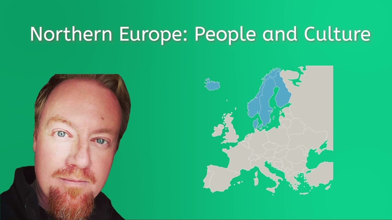
This educational video provides a comprehensive tour of Northern Europe, specifically focusing on the nations of Denmark, Finland, Sweden, Norway, and Iceland, as well as the territory of Greenland. The narrator breaks down the region through various lenses of human geography, including population statistics, ethnicity, religious demographics, languages, and political structures. It offers a structured approach to understanding the similarities and differences between these Nordic nations. Key themes explored include the shared history of the region (such as Viking heritage), the prevalence of Lutheran Christianity symbolized by the Nordic Cross flags, and the distinction between Germanic and Uralic languages. The video also highlights important cultural aspects, such as the indigenous Sami and Inuit peoples, progressive social policies, famous literary and artistic contributions (like Hans Christian Andersen and Edvard Munch), and the region's robust economies characterized by high standards of living and mixed market systems. For educators, this video serves as an excellent resource for comparative geography and social studies units. It allows students to analyze how geography influences population density, compare different forms of government (constitutional monarchies vs. parliamentary republics), and understand economic indicators like GDP. The clear presentation of data through maps and charts makes it particularly useful for teaching students how to interpret demographic statistics and connect them to real-world nations.
Miacademy & MiaPrep Learning ChannelMiacademy & MiaPrep Learning Channel

10mins 10s

Managing and Conserving the Colorado River Watershed

Managing and Conserving the Colorado River Watershed

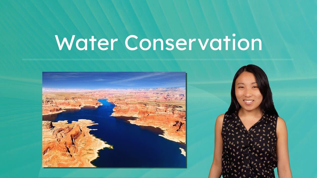
This educational video provides a comprehensive look at water resource management using the Colorado River watershed as a primary case study. It begins by examining how major cities like Phoenix rely on freshwater for diverse needs ranging from agriculture and manufacturing to domestic use and recreation. The video illustrates the complexity of watersheds, explaining how multiple states and millions of people depend on the same interconnected water system, necessitating careful management and cooperation. The content explores the historical and modern challenges of water conservation, introducing the Colorado River Compact of 1922 which divided the watershed into Upper and Lower Basins to manage allocation. It transitions into current environmental challenges, using data visualization to show how rising temperatures and climate change are accelerating evaporation and causing droughts. The video distinguishes between human overuse and natural depletion, emphasizing that legal frameworks alone are insufficient to protect water supplies in a changing climate. Finally, the video outlines actionable solutions for water conservation across three levels: government regulations, technological innovations (like drip irrigation and desalination), and personal community actions. This resource is highly valuable for environmental science and geography classrooms as it connects abstract concepts like the water cycle to real-world civic issues, encouraging students to analyze data and consider their own role in sustainable resource management.

Miacademy & MiaPrep Learning ChannelMiacademy & MiaPrep Learning Channel

10mins 23s

Exploring the Midwest Through Five Types of Maps

Exploring the Midwest Through Five Types of Maps

This educational video continues a virtual road trip across the United States, arriving in the Midwest region to explore how different types of maps provide unique information about a location. Hosted by a narrator named Justin, the video moves beyond basic road maps to introduce five specific thematic maps: political, physical, climate, population, and economic. Each segment explains the purpose of the specific map type and demonstrates how to read its legend and data within the context of the Midwest region. The content focuses on developing map literacy and geographic analysis skills. Key themes include understanding political boundaries and capital cities, identifying physical landforms like plains and the Great Lakes, interpreting climate data, analyzing population density, and understanding economic indicators like household income and natural resources. The video emphasizes that maps are like tools in a toolbox, each designed for a specific job. This resource is highly valuable for Social Studies and Geography classrooms as it transforms abstract map concepts into concrete examples. The video is structured with built-in pause points intended for students to complete accompanying worksheet activities, making it an ideal interactive lesson anchor. Teachers can use this to teach students how to synthesize information from multiple sources to build a comprehensive understanding of a geographic region.

Miacademy & MiaPrep Learning ChannelMiacademy & MiaPrep Learning Channel

5mins 47s

How Humans Adapt, Depend On, and Modify Their Environment

How Humans Adapt, Depend On, and Modify Their Environment

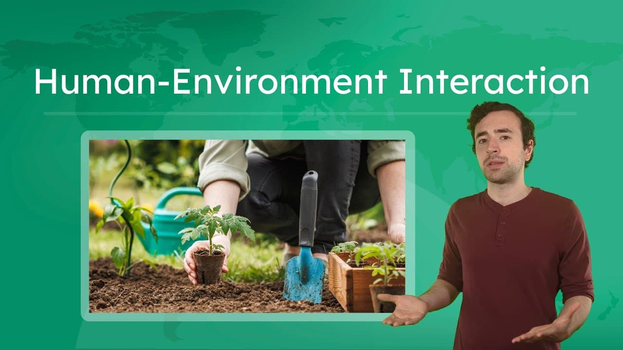
In this engaging geography lesson, the host explores the concept of Human-Environment Interaction through the lens of Los Angeles, California. The video breaks down the three core ways humans relate to their surroundings: adaptation (changing behaviors to survive natural forces), dependency (relying on natural resources for survival), and modification (physically altering the environment). Using real-world examples like earthquake-proof buildings, California's water infrastructure, and the non-native palm trees of LA, the video makes complex geographical concepts relatable and easy to understand. The content dives deep into critical modern issues, connecting geographical theory to current events. It explores the consequences of human dependency on nonrenewable resources like oil and water, discussing the economic impact of droughts and the environmental cost of fossil fuels. The video also covers the global implications of environmental modification, specifically highlighting deforestation in the Amazon rainforest and its connection to climate change, while emphasizing the importance of sustainability. Teachers can use this video to introduce the Five Themes of Geography or to anchor units on environmental science and sustainability. The video features built-in pause points with reflection questions, making it perfect for active classroom viewing. It provides a balanced view of human impact, acknowledging necessary modifications while encouraging students to think critically about sustainable solutions and positive environmental stewardship.

Miacademy & MiaPrep Learning ChannelMiacademy & MiaPrep Learning Channel

11mins 40s

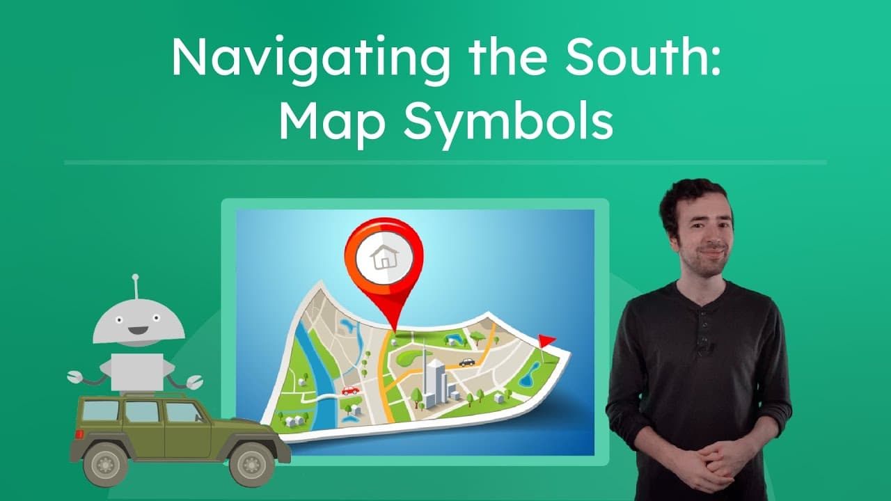
How to Navigate Using Road Maps and Symbols

How to Navigate Using Road Maps and Symbols

This educational video introduces students to the essential skills of reading and using road maps for navigation. Join the host, Justin, on a virtual road trip through the Southern United States as he explains the fundamental components of maps, including keys, compass roses, and scales. The video transitions from general map features to specific road map symbols, teaching viewers how to identify highways, cities, capitals, bodies of water, and political boundaries. The content focuses on practical application, guiding students through a real-world scenario of planning a route from Charlotte, North Carolina, to Columbia, South Carolina, and then on to Charleston. It breaks down how to interpret line types for different roads (like Interstates) and how to recognize state borders. The lesson concludes by connecting traditional map reading skills to modern GPS technology, explaining how digital navigation relies on the same underlying data. This resource is highly valuable for elementary Social Studies and Geography curricula. It transforms abstract symbols into concrete navigational tools, fostering spatial awareness and critical thinking. Teachers can use this video to launch units on map skills, state geography, or transportation, providing a clear visual framework for students to practice planning routes and interpreting spatial data.

Miacademy & MiaPrep Learning ChannelMiacademy & MiaPrep Learning Channel

6mins 36s

Materials

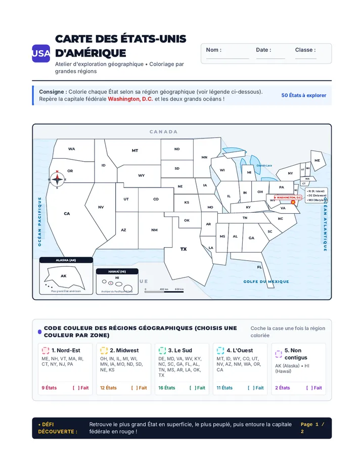
Aventure Américaine Carte à Colorier

Aventure Américaine Carte à Colorier

Une carte d'activité complète et prête à imprimer des 50 États d'Amérique à colorier par régions géographiques. Le document comprend une carte détaillée avec les océans, les pays frontaliers, la rose des vents, une légende thématique et un guide des 50 États avec capitales et défis d'exploration.

CS

Carlos Santos

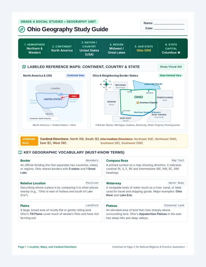
Ohio Geography Study Guide

Ohio Geography Study Guide

A comprehensive two-page fourth-grade Ohio geography study guide featuring a labeled hierarchical reference map (North America, United States, Ohio), bordering states, waterways, an eight-point compass rose, physical land regions, key vocabulary, and practice questions.

KM

Karah McAlister

Empire State Diagnostic Worksheet

Empire State Diagnostic Worksheet

A comprehensive 3-page diagnostic review worksheet assessing foundational 3rd grade world geography/communities and the seven continents, as well as 4th grade New York State history, government, and economic development. Features quick-check multiple-choice questions, diagnostic concept checkpoints, and structured open-response reflection prompts.

NK

Navdeep Kaur

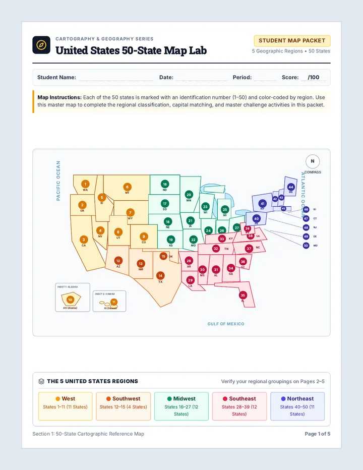
Fifty States Map Packet

Fifty States Map Packet

A comprehensive 5-page printable United States geography packet featuring a numbered master 50-state map, regional classification activities, East and West state and capital mapping labs with word banks, and a complete 50-state cumulative practice challenge.

SF

Steven Flint

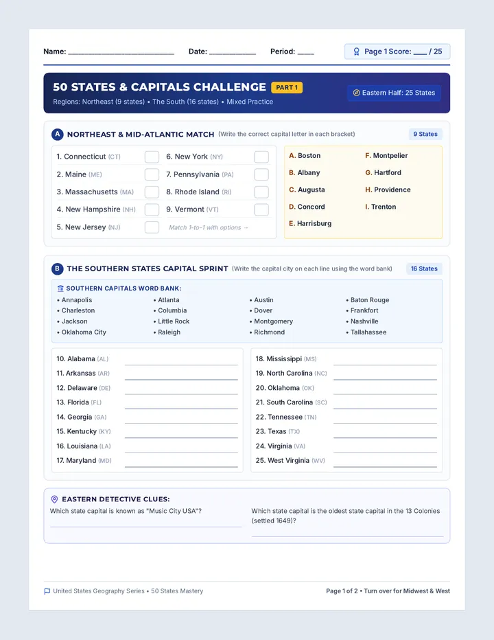
State Capital Challenge Worksheet

State Capital Challenge Worksheet

A comprehensive two-page mixed-practice worksheet covering all 50 US states and their capitals. Features regional matching, capital fill-in lines with postal codes, word banks, and geographic detective clues organized by region.

SF

Steven Flint

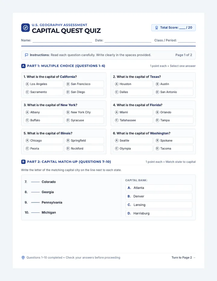
Capital Quest Quiz

Capital Quest Quiz

A 20-question print-ready quiz assessing knowledge of United States capitals across four distinct question formats. Includes multiple choice, matching, state-to-capital recall, and reverse capital-to-state identification.

S

sheenad

Sequences

Rocky Ridges Slides

Northeast Navigator

A 5-lesson sequence exploring the geography, climate, resources, culture, and states of the Northeast region of the United States. Students will engage with reading passages, comprehension activities, and a states-and-capitals matching game.

NP

Natalie Pelletier

15
Swamps and Summits Teacher Guide

Southern Soul Exploration

A 5-lesson unit exploring the geography, climate, resources, and culture of the Southeast United States, concluding with a states and capitals challenge.

NP

Natalie Pelletier

15
Granite and Greenery Slides

Northeast Navigator

A 5-day unit exploring the Northeastern United States, covering its unique geography and climate, the rich history of the Wampanoag, Abenaki, and Iroquois nations, and the vibrant modern culture of its eleven states.

KM

Kristin McCoy

10
The Mountain Map Passage

Carolina Discoveries

A multi-disciplinary sequence for 4th-grade students focusing on North Carolina's history, geography, and science through rigorous reading comprehension.

DG

Debra Golden

4
Pacific Peaks Presentation

Western Trails Explorer

A comprehensive 5-lesson exploration of the West region of the United States, covering geography, climate, resources, culture, and states/capitals through reading passages and interactive activities.

NP

Natalie Pelletier

12
Canyon Lands Slides

Desert Wonders

A comprehensive 5-lesson unit exploring the unique geography, climate, natural resources, diverse cultures, and political boundaries of the Southwest region of the United States.

NP

Natalie Pelletier

16

Lessons

Border Lines Activity

Harriet Tubman Escape

A lesson exploring Harriet Tubman's 1850 escape and the significance of the Mason-Dixon Line as a geographical and legal boundary in the pre-Civil War United States.

TL

Tanya Larson

46
Wild West Slides

Western Wonders

An immersive exploration of the 11 states in the Western United States, covering their unique climates, diverse geography, natural resources, and vibrant cultures.

DG

Diana Gordon

4
Tar Heel Explorers Slides

Tar Heel Trailblazers

A comprehensive 5-day 4th Grade North Carolina Social Studies unit covering NC geography, state history, government structures, and cultural heritage aligned to NC NCSCOS standards.

TG

Tolisha Goldston

4
Progression Annuelle Geographie CM2

Mon Territoire Nevers

Leçon d'introduction à la géographie de CM2 centrée sur l'analyse de l'espace de vie proche à Nevers, en abordant les notions de territoire, d'échelles et d'espace vécu.

LP

LAURENT PERCHE

13
Map Masters Slides

Map Masters Mini Lessons

A comprehensive 5th-grade geography unit consisting of seven active mini-lessons. It includes a single continuous presentation slide deck, a printable student mapping workbook with integrated self-check lists, and a detailed teacher visual answer key.

MN

Monica Nava

3
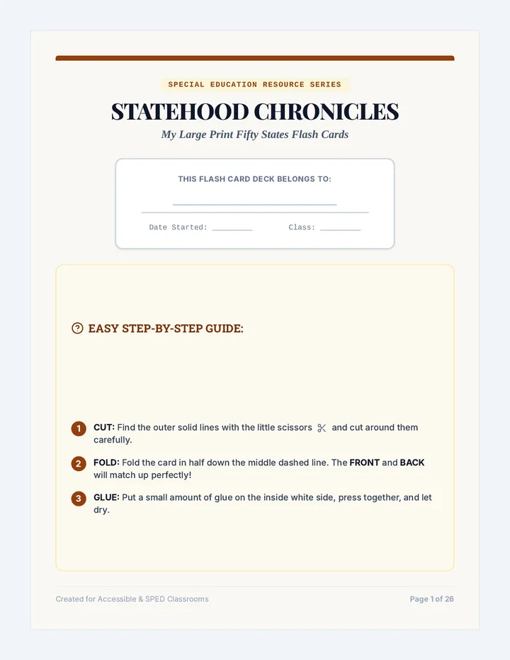
Statehood Flash Cards

Statehood Chronicles

A historical exploration of the fifty United States, charting their statehood dates, famous residents, and major contributions to the nation.

D

dfleisch

2