Pacific Peaks Presentation Pacific Peaks
Geography of the American West
The Mighty Rockies
The Rocky Mountains are the longest mountain range in North America.
Stretch over 3,000 miles from Canada to New Mexico.
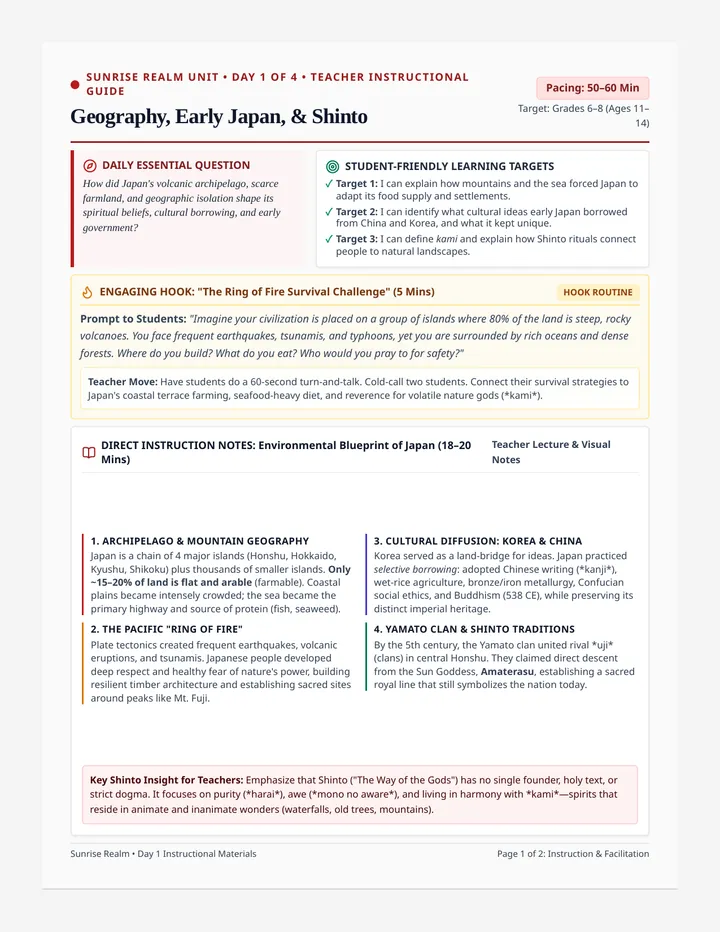
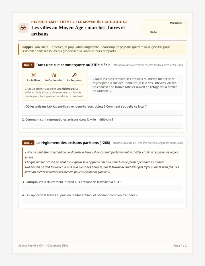
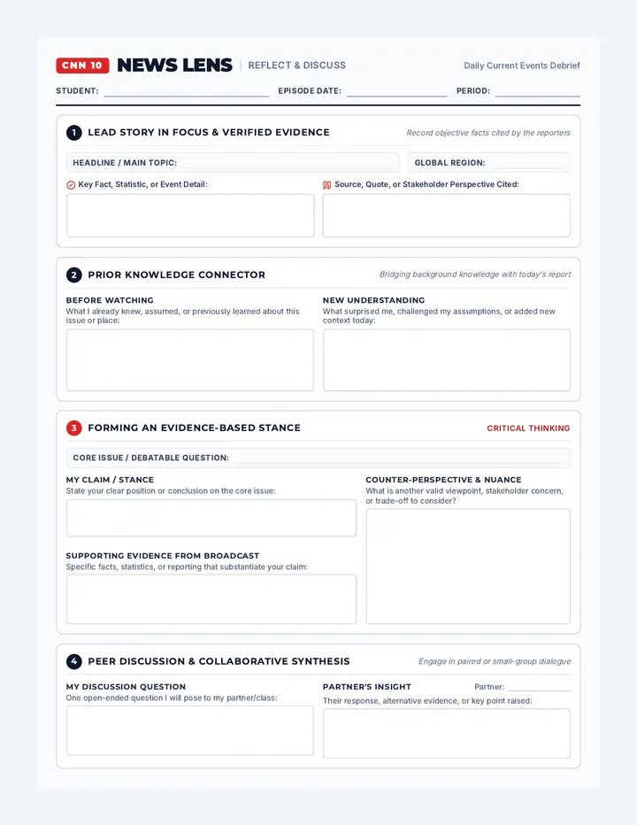
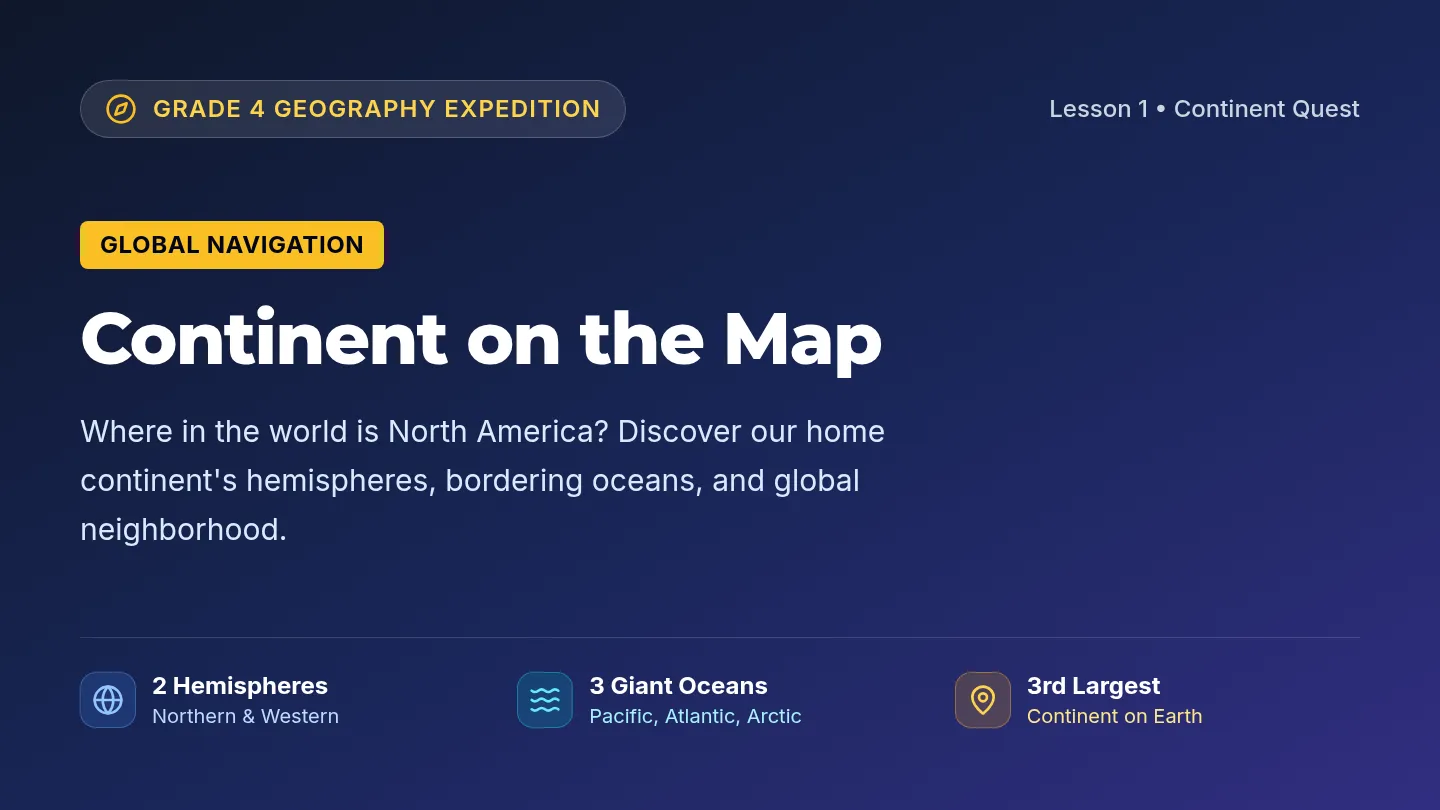
Home to the Continental Divide—the "backbone" of the continent.
Highest peak in the U.S. Rockies: Mount Elbert (14,440 ft).
Visualizing the High Peaks
Coastal Wonders
Sierra Nevada
A mountain range in California that includes Mount Whitney (highest in the contiguous U.S.) and Lake Tahoe.
The Pacific Coast
Features rugged cliffs in Oregon and Washington, and the famous sandy beaches of Southern California.
Did you know? The West has both the highest and lowest points in the lower 48 states!
Basins and Barrens
Great Basin
A large, dry region between the Rockies and the Sierra Nevada where water does not flow to the ocean.
1
Death Valley: The lowest, hottest, and driest place in North America.
2
Mojave Desert: Home to the iconic Joshua Tree.
Trail Talk
How do you think these massive mountains affected early explorers traveling west?
If you could visit any landform in the West, which would you choose and why?
Pacific Peaks Worksheet PACIFIC PEAKS
Region: The West
Unit: Geography
NAME:
DATE:
Explorer's Log: The Rugged West
The West region of the United States is a land of extremes. From the high, snow-capped peaks of the Rocky Mountains to the deep, scorched floor of Death Valley, the landscape is constantly changing. The Rocky Mountains, which stretch over 3,000 miles, act as the region's massive backbone. These mountains are part of the Continental Divide, an imaginary line that determines whether water flows toward the Atlantic or Pacific Ocean.
Moving further west, we find the Great Basin. This is a unique area where water doesn't drain into the ocean at all. Instead, it evaporates or flows into inland lakes like the Great Salt Lake. To the west of the basin stands the Sierra Nevada mountain range. This range is home to some of the most famous national parks in the country, including Yosemite.
Finally, the land meets the Pacific Coast. This coastline is incredibly varied. In the north, you'll find rocky cliffs and dense forests in states like Oregon and Washington. In the south, the California coast is famous for its long, sunny beaches and rolling hills.
Check Your Bearings
1. Why are the Rocky Mountains sometimes called the "backbone" of North America?
2. What makes the Great Basin different from other regions in terms of where its water goes?
Highest Point
Where is the highest point in the contiguous United States located?
Lowest Point
What is the name of the lowest, hottest point in the West region?
3. Contrast the coastline of the North (WA/OR) with the coast of the South (CA).
Landform Legend
Using the reading passage and presentation, sketch a simple symbol for each landform below and write one fact about it.
Rocky Mountains
[Draw Symbol Here]
Great Basin
[Draw Symbol Here]
Sierra Nevada
[Draw Symbol Here]
Pacific Coast
[Draw Symbol Here]
Wild Weather Presentation Wild Weather
Climates of the American West
A Region of Contrasts
The West has the most diverse climate of any U.S. region.
Subarctic: Parts of Alaska are frozen year-round.
Arid: Desert heat in Nevada and Arizona.
Tropical: Hawaii is warm and humid always.
WET vs. DRY
Some areas get over 100 inches of rain, while others get less than 5!
The Rain Shadow
Windward Side
Clouds rise over the mountains, cool down, and drop rain/snow. This creates lush forests on the coast.
Leeward Side
The air is dry by the time it crosses the peak. This creates a "rain shadow" or desert on the other side.
Pacific Mist
Cool & Rainy
Washington and Oregon have a Marine West Coast climate. It is cloudy and rainy much of the year.
The Olympic Peninsula
Home to temperate rainforests—one of the wettest places in the continental U.S.!
"Liquid Sunshine" is what some locals call the frequent drizzle.
Western Hazards
Wildfires
Dry summers lead to fires in forests and scrublands.
Droughts
Long periods without rain cause water shortages.
Blizzards
Heavy snow can trap people in the mountains.
Wild Weather Worksheet WILD WEATHER
Region: The West
Unit: Climate
NAME:
DATE:
Weather of the West
If you travel across the West, you might need both a raincoat and a bottle of sunscreen. Because the West is so large and has so many different landforms, it has a wide variety of climates. Along the Pacific Coast in the North, states like Washington and Oregon have a Marine West Coast climate. This means it is often cool and rainy. Some of the wettest places in America are the temperate rainforests located here.
However, if you move just a few hours inland, the weather changes drastically. This is due to the Rain Shadow Effect. As moist air from the ocean hits the mountains, it rises and cools, dropping its rain on the "windward" side. By the time the air crosses over the mountain peaks to the "leeward" side, it is dry. This creates deserts like the Mojave and the Great Basin.
Further south in California, the climate is often Mediterranean, with warm, dry summers and mild, wet winters. Meanwhile, the high peaks of the Rockies and Sierra Nevada have an Alpine climate, where it can be cold and snowy even in the summer months!
Climate Vocabulary
1. Rain Shadow
A. A dry area on the inland side of a mountain range.
2. Marine West Coast
B. Warm, dry summers and mild, wet winters.
3. Mediterranean
C. Cold climate found in high mountain elevations.
4. Alpine
D. Cool and rainy climate found near the Pacific North.
Explorer's Reflections
The Rain Shadow Diagram
WINDWARD
LEEWARD
Explain in your own words how the mountain in the diagram creates two different climates:
3. Describe the weather in Seattle, Washington:
4. Describe the weather in Phoenix, Arizona:
5. Why are wildfires a common hazard in the West region during the summer?
Golden Opportunities Presentation Golden Opportunities
Resources & Economy of the West
Underground Wealth
The West is rich in minerals and energy resources.
Gold & Silver: Sparked the famous "Gold Rush" in 1849.
Copper: Arizona is the leading producer of copper.
Oil: Found in large quantities in Alaska and California.
Did You Know?
"The Golden State" (California) got its nickname from the gold found at Sutter's Mill in 1848, which brought thousands of people west.
Forests & Fisheries
Timber
The Pacific Northwest (WA, OR, Northern CA) provides huge amounts of wood for building homes and making paper.
Fishing
Alaska and the Pacific Coast are world leaders in fishing, famous for Salmon and King Crab.
Farming the West
Central Valley
California's Central Valley grows over 250 different crops, including fruits, nuts, and vegetables.
The Role of Irrigation
In dry areas, farmers use irrigation (pipes and ditches) to bring water from rivers to their fields.
Without irrigation, much of the West would be too dry to farm!
High Tech
Silicon Valley in California is the world's center for computer technology.
Tourism
National Parks (Grand Canyon, Yellowstone) bring in millions of visitors.
Entertainment
Hollywood (Los Angeles) is the movie-making capital of the world.
The West's economy is as diverse as its land!
Golden Opportunities Worksheet TREASURES OF THE WEST
Region: The West
Unit: Resources
NAME:
DATE:
Mining, Farming, and Fishing
People have always moved west in search of opportunity. In 1848, the discovery of gold at Sutter’s Mill in California sparked a massive Gold Rush. Today, mining remains important, with Arizona leading the nation in copper production and states like Nevada producing large amounts of silver. In addition to minerals, the West is rich in energy resources like oil and natural gas, especially in Alaska.
The natural environment also provides "green" and "blue" gold. The Pacific Northwest is famous for its Timber Industry, providing wood for homes and paper from its vast forests. Along the coast, the Fishing Industry is booming. Alaska alone provides nearly half of all the seafood caught in the United States, including salmon, cod, and king crab.
Finally, agriculture is a massive part of the West's economy. California's Central Valley is one of the most productive farming regions in the world. Because much of the West is dry, farmers use irrigation—a way of bringing water to crops through pipes and ditches—to grow everything from almonds and grapes to oranges and avocados.
Resource Web
RESOURCES OF THE WEST
MINING
List 2 minerals or energy resources:
TIMBER
What is this wood used for?
AGRICULTURE
Define "irrigation":
FISHING
Name one state and one fish:
Bonus Question: How did the discovery of gold change the population of the West?
Western Way Presentation Western Way
Culture, Cities, and Landmarks
Diverse People
The West is known for its diverse population and history.
Native Americans: Thousands of years of history from the Inuit in Alaska to the Pueblo in the Southwest.
Asian Heritage: Strong influence along the Pacific Coast due to migration across the ocean.
Hispanic Roots: Deeply tied to the history of the Southwest and California.
"The West is where the future happens first." — A common saying about the region's innovative spirit.
Iconic Sights
Golden Gate Bridge
The famous orange-red bridge in San Francisco.
Old Faithful
A famous geyser in Yellowstone National Park.
Hollywood Sign
The symbol of the American movie industry.
Space Needle
Seattle's famous futuristic tower.
Outdoor Obsession
Nature's Playground
With so many mountains, coasts, and parks, Westerners love hiking, skiing, surfing, and camping.
Sustainable Living
Many Western cities are leaders in recycling, clean energy, and protecting the environment.
Ocean & Mountain
In places like California or Washington, you can sometimes ski and surf on the same day!
Western Reflections
Which Western landmark would you most like to visit and why?
How does the geography of the West influence the way people spend their free time?
Western Way Worksheet PACIFIC PULSE
Region: The West
Unit: Culture
NAME:
DATE:
West Coast Vibes & Mountain Pride
The culture of the West is as varied as its landscapes. Because the region is on the edge of the Pacific Ocean, it has long been a destination for people from around the world. In cities like San Francisco, Seattle, and Los Angeles, you can see the influence of Asian and Hispanic heritages in the food, architecture, and festivals. The region also has a deep Native American history, with tribes like the Nez Perce in the North and the Navajo in the Southwest maintaining their traditions for thousands of years.
One thing that unites many Westerners is a love for the outdoors. With so many National Parks, like Yellowstone and Yosemite, people spend a lot of time hiking, skiing, and surfing. This connection to nature has made the West a leader in environmental protection and "green" living.
The West is also a place of big dreams. Hollywood in Los Angeles is the world's capital for movies and television, while Silicon Valley in Northern California is the birthplace of many of the world's most famous tech companies. Whether it's on a movie set or in a science lab, the West is a place where new ideas come to life.
Landmark Scavenger Hunt
Read the clues and write the name of the famous Western landmark.
1
I am a bright orange-red bridge that connects San Francisco to the north. I am often covered in fog.
2
I am a famous geyser in Yellowstone National Park that erupts with hot water almost every hour.
3
I am a tall, futuristic tower in Seattle that was built for the 1962 World’s Fair.
4
I am nine big white letters on a hillside in Los Angeles that represent the movie industry.
If you were a tour guide in the West, which landmark would be your "Main Attraction" and why?
State Scout Presentation State Scout
Mapping the Eleven States of the West
The Western Territory
Coast & Ocean
WashingtonOlympia
OregonSalem
CaliforniaSacramento
AlaskaJuneau
HawaiiHonolulu
Inland & Mountains
IdahoBoise
MontanaHelena
WyomingCheyenne
ColoradoDenver
UtahSalt Lake City
NevadaCarson City
Fast Facts
The Largest
Alaska is by far the largest state in the U.S. It is more than twice the size of Texas!
The Newest
Hawaii was the last state to join the Union, becoming the 50th state in 1959.
The Most Populous
California has the highest population of any state in the entire country.
Mile High City
Denver, Colorado is exactly one mile above sea level.
CAPITAL TRICKS
Idaho -> Boise: Think of "Boy" eating an "Ida-ho" potato!
Montana -> Helena: Imagine "Helen" climbing a "Mountain"!
Wyoming -> Cheyenne: Two words that sound like they belong in a Western movie.
GAME TIME!
We are about to play the States and Capitals Matching Game.
STATE
CAPITAL
Shuffle, Match, and Master the West!
Western States Matching Game Western Match Up
States & Capitals Card Game
Instructions:
1. Cut out all the cards below.
2. Shuffle the cards and place them face down in a grid.
3. Take turns flipping two cards. If you match a State with its correct Capital, you keep the pair!
State ALASKA
Capital JUNEAU
State HAWAII
Capital HONOLULU
State WASHINGTON
Capital OLYMPIA
State OREGON
Capital SALEM
State CALIFORNIA
Capital SACRAMENTO
State IDAHO
Capital BOISE
State NEVADA
Capital CARSON CITY
State MONTANA
Capital HELENA
State WYOMING
Capital CHEYENNE
State UTAH
Capital SALT LAKE CITY
State COLORADO
Capital DENVER
BONUS: WEST
THE WEST
West Region Review Assessment WEST REGION RECAP
Western Trails Explorer
Unit Final Review
NAME:
DATE:
Part 1: Geography & Climate
1. Which mountain range is considered the "backbone" of the West?
Sierra Nevada
Appalachian Mountains
Rocky Mountains
Cascade Range
2. What causes a "rain shadow" to form?
Part 2: Resources & Culture
3. Why is irrigation necessary for many farmers in the West?
Match the State to the Industry:
Alaska
Washington
California
Options: Timber, Seafood, High Tech
4. Name one major cultural influence in the West and where it can be seen.
Part 3: States & Capitals
Write the capital city for each Western state listed below.
1. Washington
2. Colorado
3. California
4. Idaho
5. Oregon
6. Utah
7. Alaska
8. Arizona*
*Wait, is Arizona in the West region? Most maps group it there or in the Southwest! For this unit, we focused on the 11 core Western states.
Western Icon Sketch
Pick one Western landmark (Golden Gate Bridge, Space Needle, etc.) and draw it below. Write one reason why it is famous.
[Draw your landmark here]
West Region Answer Key ANSWER KEY
Teacher Resource
West Region Review Assessment
Part 1: Geography & Climate
1. Backbone mountain range:
Rocky Mountains
2. Rain shadow formation:
Moist air from the ocean hits a mountain range and is forced to rise. As it rises, it cools and drops its moisture as rain or snow on the windward side. The air that crosses over to the other (leeward) side is dry, creating a desert or dry region.
Part 2: Resources & Culture
3. Why irrigation is necessary:
Much of the West is naturally arid or receives very little rainfall. Irrigation is needed to bring water from rivers or reservoirs to fields to support large-scale agriculture.
4. Cultural Influence:
Answers will vary. Examples: Hispanic influence in Southwest architecture/food; Asian heritage in Pacific Coast festivals; Native American history in National Park names/art.
Industry Matching:
Alaska: Seafood
Washington: Timber
California: High Tech
Part 3: States & Capitals
1. Washington Olympia
2. Colorado Denver
3. California Sacramento
4. Idaho Boise
5. Oregon Salem
6. Utah Salt Lake City
7. Alaska Juneau
8. Arizona Phoenix
Unit Completion Review • Western Trails Explorer