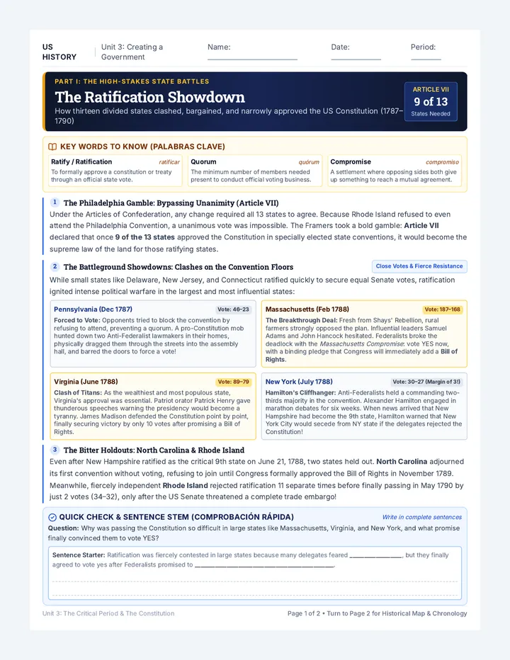
Balkan Landscape Slides Balkan Landscapes
Urban Centers & Rural Traditions
The Balkan Mosaic
Physical Foundation
A region defined by rugged mountain ranges (Dinaric Alps, Balkans, Rodopi, Bistra) and fertile plains (Pelagonija).
Human Overlay
Centuries of trade, transition from socialist planning to market economies, and intense urban-rural migration.
"Land use is the visible story of a culture's survival and growth."
The City Pulse
Balkan Urban Land Use
Post-Socialist CBDs
Modern skyscrapers and shopping malls rising amidst brutalist architecture in Belgrade, Sofia, and Skopje.
Transport Hubs
Centralized infrastructure connecting the Balkans to the wider European network.
Urban Sprawl
Rapid expansion into former agricultural belts, creating "gray zones" of unplanned housing.
The Village Heart
Rural Land Use & Challenges
1
Subsistence Farming
Small-scale, multi-crop plots maintained by aging generations in remote highlands.
2
The "Ghost Village" Phenomenon
Land abandonment due to migration, leading to "rewilding" and forest encroachment (e.g., Mariovo).
3
Agri-Tourism Shift
Transforming traditional pastureland into boutique eco-tourism and cultural heritage sites (e.g., Mavrovo).
Key Case Study
"In the Mariovo Plateau of North Macedonia, extreme depopulation has left dozens of 'ghost villages', where stone houses crumble as nature reclaims former fields of wheat and tobacco."
Your Crossroads Project
Choose 1 Urban Center + 1 Rural Region.
Analyze how they use their land, how their societies are changing, and what the future holds for the Balkan Peninsula.
Check your Project Guide and Rubric for Mastery details!
Balkan Data Sheets Case Study Data Sheets
Regional Land Use Statistics & Facts
Secondary 1 Geography
Urban Highlight: Sarajevo, Bosnia and Herzegovina
Land Use Profile
Residential (High Density): 42%
Industrial/Commercial: 18%
Public Green Space: 12%
Infrastructure (Roads/Rail): 15%
Undeveloped (Mountain Slopes): 13%
Society Snapshot
"Sarajevo’s land use is deeply influenced by its 'bowl' topography. As a valley city, it faces high air pollution (smog) during winter due to thermal inversion and dense residential heating. Post-war reconstruction has seen a rise in 'shopping mall' culture along the main tram spine."
Rural Highlight: Rodopi Mountains, Bulgaria
Land Use Profile
Forestry/Natural Reserve: 65%
Pasture/Grazing Land: 20%
Cultivated Crops (Tobacco/Lavender): 8%
Village Settlement Area: 4%
Tourism/Ski Infrastructure: 3%
Society Snapshot
"The Rodopi mountains are home to unique cultural enclaves. Land use is traditionally terraced for tobacco, but with falling global prices, fields are being abandoned or converted to lavender and herbs. The 'Pamporovo' resort demonstrates a shift from agricultural land to seasonal tourism use."
Critical Thinking: Land Use Drivers
Driver Urban Effect Rural Effect Demographics Increased demand for multi-family housing. Provide your observation... Technology Smart city grids & shared office spaces. Provide your observation... Policy Provide your observation... EU subsidies favoring 'Eco-Farming'.
Crossroads Project Guide Project Guide Crossroads Project
Balkan Urban & Rural Land Use Comparison
Secondary 1 Geography: Unit Summative
Project Guide
Student Name
Date Due
The Mission
The Balkan Peninsula is a mosaic of ancient rural traditions and rapidly modernizing urban centers. Your task is to select one major Urban Center (e.g., Belgrade, Sofia, Skopje, Tirana, or Sarajevo) and one Rural Region (e.g., the Mariovo Plateau, Mavrovo Highlands, the Rodopi Mountains, or the Dalmatian Hinterland) to compare their land use patterns, economic drivers, and societal impacts.
Required Elements
Site Profile: Basic info on location, climate, and terrain.Land Use Sketch: A simple diagram showing where houses, shops, and nature/farms are located.Social Analysis: How the way land is used affects the local people's lives.Future Forecast: One major challenge for the area (e.g., sprawl or empty villages).
Comparison Focus
Choose three lenses for your comparison:
Infrastructure: Transport networks vs. traditional paths.
Sustainability: Modern waste/energy vs. traditional living.
Economic Core: High-tech/service vs. agriculture/tourism.
Demographics: Youth moving out vs. aging villages.
Initial Brainstorming
Selected Urban Center & Why:
Selected Rural Region & Why:
Choose Your Product
Select one way to present your research. All options must include your sketches and data.
Slide Deck
A visual presentation (10-12 slides) using images and simple charts. Good for talking to the class.
Infographic
A one-page visual poster. Use icons, labels, and your sketches to show the main differences.
Comparative Essay
A written report (800-1500 words). Best for explaining your ideas and analysis in detail.
Digital Story Map
An online map narrative. Link points on a map to pictures, your sketches, and your analysis.
Research Roadmap
Find basic data and stories using the Research Portal.
Draw two simple Land Use Sketches (one city, one village). Use colors for different zones.
Answer the big question: Which is more sustainable, an urban or rural lifestyle?
Landscape Mastery Rubric Mastery Rubric: Balkan Landscapes
Summative Comparative Project: Urban vs. Rural Land Use
Secondary 1 Geography
Teacher Resource
This rubric evaluates high-level achievement (Mastery) and exceptional synthesis (Above Mastery). It focuses on geographic analysis and regional understanding of the Balkans.
Criteria Mastery (B level) Above Mastery (A level) Data & Mapping
Accuracy and use of geographic tools.
| Identifies and maps the main land-use zones in both urban and rural sites correctly. Uses key terms like CBD, hinterland, and subsistence to explain patterns clearly. | Uses different data (like terrain, history, and satellite images) to explain why the land is used that way. Maps are very detailed and show clear connections between factors. |
|
Regional Knowledge
Specific understanding of the Balkan region.
| Shows a clear understanding of Balkan-specific issues, such as migration from villages to cities. Uses accurate examples from the specific countries studied. | Explains how the Balkan's unique history and culture shape land-use problems or opportunities today. Compares local patterns to broader trends across Europe. |
|
Critical Comparison
Analyzing differences between the two sites.
| Provides a balanced comparison showing clear similarities and differences. Explains how the way land is used connects to the local economy. | Makes a strong argument about how the city and the rural area depend on each other. Uses evidence to predict how these areas might change in the long term. |
|
Future Challenges
Proposing solutions for the region.
| Identifies real future problems (like urban sprawl or empty villages) and suggests sensible geographic ways to solve or adapt to them. | Develops a creative and detailed plan for sustainable land use that addresses economic, environmental, and social needs all at the same time. |
Teacher Assessment Notes
Provide specific feedback on the student's synthesis of geographic principles and regional case studies...
Balkan Research Portal Reference Sheet Balkan Research Portal
Verified Sources for the Crossroads Project
Secondary 1 Geography
Student Reference Sheet
The Geographer's Reliability Check
Before using a source, ask: Who wrote this? When was it updated? Does it provide data to back up its claims? Does it have a clear bias? Favor .gov, .org, and .edu domains for data, and reputable news outlets for social snapshots.
Regional Overviews & Statistical Data
World Bank Open Data (data.worldbank.org)
Search for specific countries (Albania, North Macedonia, Bosnia and Herzegovina, etc.) to find statistics on urbanization rates, agricultural employment, and GDP growth.
Balkan Insight (balkaninsight.com)
A reliable news source for the "Social Analysis" section. Use their search bar for topics like "depopulation in Mariovo", "urban sprawl in Tirana", or "Skopje 2014 project".
Eurostat (ec.europa.eu/eurostat)
Official statistical office of the European Union. Excellent for comparing Balkan EU candidates with the rest of Europe on land use and demographic shifts.
Mapping & Satellite Analysis
European Environment Agency: CORINE Land Cover (eea.europa.eu)
Provides high-detail maps of how European land is used. Use their "interactive maps" to see the visual boundary between city sprawl and forests.
Sentinel Hub EO Browser (apps.sentinel-hub.com)
Access live satellite imagery. Switch between "Natural Color" and "False Color" to identify healthy vegetation (rural) vs. concrete/pavement (urban).
National Statistical Offices (Deep Research)
For those aiming for "Above Mastery (A level)", use the official data from the countries themselves:
North Macedonia: State Statistical Office (stat.gov.mk)Bosnia & Herzegovina: Agency for Statistics (bhas.gov.ba)Bulgaria: National Statistical Institute (nsi.bg)Serbia: Statistical Office of the Republic (stat.gov.rs)
Citing Your Work
Every data point or quote you use MUST be cited. Use the following simple format for your bibliography:
Author/Organization. (Year). Title of Article or Page. URL Link.Urban Population - North Macedonia. https://data.worldbank.org/ ...