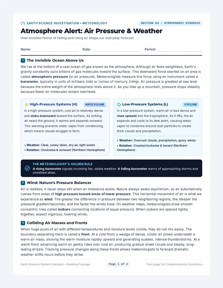
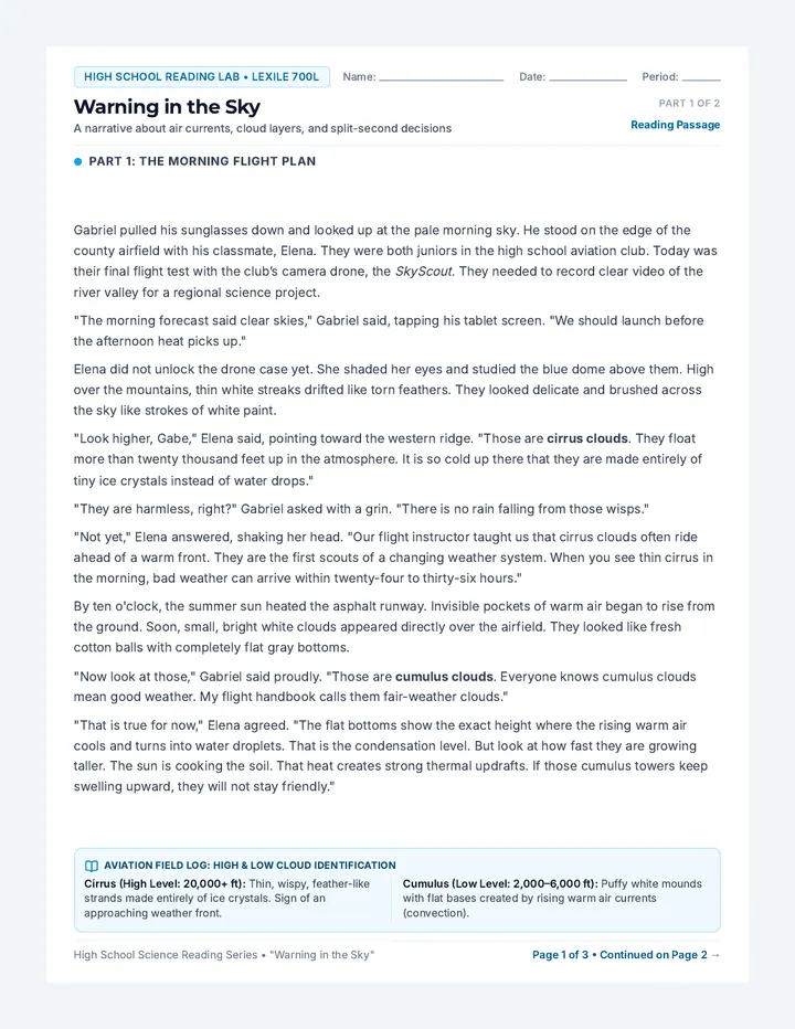
Warning Sky Cloud Passage
High School Reading Lab • Lexile 700L
Name: Date: Period:
Warning in the Sky
A narrative about air currents, cloud layers, and split-second decisions
Part 1 of 2 Reading Passage
Part 1: The Morning Flight Plan
Gabriel pulled his sunglasses down and looked up at the pale morning sky. He stood on the edge of the county airfield with his classmate, Elena. They were both juniors in the high school aviation club. Today was their final flight test with the club’s camera drone, the SkyScout. They needed to record clear video of the river valley for a regional science project.
"The morning forecast said clear skies," Gabriel said, tapping his tablet screen. "We should launch before the afternoon heat picks up."
Elena did not unlock the drone case yet. She shaded her eyes and studied the blue dome above them. High over the mountains, thin white streaks drifted like torn feathers. They looked delicate and brushed across the sky like strokes of white paint.
"Look higher, Gabe," Elena said, pointing toward the western ridge. "Those are cirrus clouds. They float more than twenty thousand feet up in the atmosphere. It is so cold up there that they are made entirely of tiny ice crystals instead of water drops."
"They are harmless, right?" Gabriel asked with a grin. "There is no rain falling from those wisps."
"Not yet," Elena answered, shaking her head. "Our flight instructor taught us that cirrus clouds often ride ahead of a warm front. They are the first scouts of a changing weather system. When you see thin cirrus in the morning, bad weather can arrive within twenty-four to thirty-six hours."
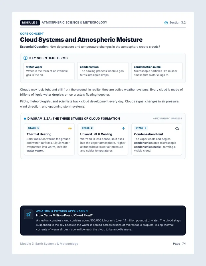
By ten o'clock, the summer sun heated the asphalt runway. Invisible pockets of warm air began to rise from the ground. Soon, small, bright white clouds appeared directly over the airfield. They looked like fresh cotton balls with completely flat gray bottoms.
"Now look at those," Gabriel said proudly. "Those are cumulus clouds. Everyone knows cumulus clouds mean good weather. My flight handbook calls them fair-weather clouds."
"That is true for now," Elena agreed. "The flat bottoms show the exact height where the rising warm air cools and turns into water droplets. That is the condensation level. But look at how fast they are growing taller. The sun is cooking the soil. That heat creates strong thermal updrafts. If those cumulus towers keep swelling upward, they will not stay friendly."
Aviation Field Log: High & Low Cloud Identification
Cirrus (High Level: 20,000+ ft): Thin, wispy, feather-like strands made entirely of ice crystals. Sign of an approaching weather front.
Cumulus (Low Level: 2,000–6,000 ft): Puffy white mounds with flat bases created by rising warm air currents (convection).
High School Science Reading Series • "Warning in the Sky" Page 1 of 3 • Continued on Page 2 →
Warning in the Sky • Part 2: The Rising Anvil
Lexile Level: 700L • Narrative Text
Part 2: The Storm Takes Shape
By noon, the atmosphere felt different. The light breeze died down, and the air turned sticky and heavy with moisture. High above the valley, a gray sheet of rippled clouds spread across the middle sky. They looked like small rolls of wool or the scaly pattern of a fish back.
"That is an altocumulus layer," Elena observed, checking the airfield windsock. "Altocumulus clouds sit in the middle level of the sky, between six thousand and twenty thousand feet. Old sailors used to call that pattern a 'mackerel sky.' When ripples of altocumulus follow morning cirrus, rain is practically guaranteed before nightfall."
Gabriel connected the battery to the drone. "We only need fifteen minutes in the air. We can fly over the river bend, get our landscape photos, and land before anything happens."
"Look to the west," Elena interrupted, her voice firm and cautious.
Gabriel turned around. The friendly white cumulus clouds were no longer separate cotton balls. Two miles away, several towers had merged into one gigantic mountain of cloud. The bottom was pitch-black and hung ominously close to the hills. The top was shooting violently upward into the sky. As they watched, the towering cloud flattened out against high winds, spreading into a sharp, shelf-like wedge.
"That is a cumulonimbus," Gabriel whispered, stepping back from his flight controller.
"The flat top is the anvil," Elena warned. "Inside that cloud, violent updrafts are carrying water droplets up to freeze, while heavy ice chunks are crashing down. When that cloud opens up, it produces dangerous winds, hail, and lightning."
Without warning, a sudden blast of icy air swept across the airfield. It whipped Gabriel's jacket and knocked over an empty traffic cone. The temperature dropped ten degrees in five seconds.
"That is the gust front!" Elena shouted over the rising wind. "Cool air is rushing down out of the storm and spreading across the ground. Shut down the drone, Gabe. Pack it up now!"
Gabriel hit the power switch and disconnected the battery. Together, they latched the heavy flight case and carried it into the airfield hangar just as the first massive raindrops exploded against the metal roof. Outside, purple lightning flashed inside the dark belly of the cloud.
Gabriel wiped rainwater from his forehead and smiled at Elena. "Digital radar is great," he said, "but the sky gave us every clue we needed—if you know how to read the clouds."
Severe Weather Warning: Cumulonimbus Anatomy
1. Altocumulus: Mid-level gray ripples signaling rising instability and atmospheric moisture.
2. Anvil Head: Flat, spreading top of a cumulonimbus cloud caused by high-altitude barrier winds.
3. Gust Front: Sudden blast of cold air that rushes ahead of a storm before heavy rain begins.
High School Science Reading Series • "Warning in the Sky" Page 2 of 3 • Turn Page for Questions →
Comprehension Assessment • 10 Questions (Literal & Inferential)
Score: ______ / 10
Read each question carefully. Use evidence and details from "Warning in the Sky" to support your responses.
A Part A: Multiple Choice Questions (Questions 1–5)
Select the best answer
1. [Literal] What are high cirrus clouds composed of according to the story?
A) Warm water vapor
B) Pure ice crystals
C) Dust and smoke particles
D) Liquid raindrops
2. [Literal] What causes the flat bottom surface of a cumulus cloud to form?
A) Strong horizontal winds aloft
B) The condensation level where air cools
C) Freezing temperatures on the ground
D) Smoke rising from factory chimneys
3. [Inferential] Why did Elena worry when altocumulus clouds appeared after morning cirrus?
A) They showed storm moisture was arriving
B) The drone's camera could not see them
C) They meant an immediate drought had started
D) The sun was getting too hot to fly
4. [Literal] What distinct shape formed at the top of the giant cumulonimbus cloud?
A) A rounded dome like a baseball
B) A spiraling funnel tube
C) A flat, spreading anvil shape
D) A thin white ring around the sun
5. [Inferential] What did the sudden icy blast of wind (gust front) tell the characters?
A) The storm was retreating away
B) Cold air was rushing out of the storm
C) Winter was starting early today
D) The drone's propellers had failed
B Part B: Short Answer & Text Evidence (Questions 6–10)
Write 1–2 complete sentences using text details
6. [Literal] Why did Elena refuse to unpack the drone at the start of the morning, even though Gabriel said the sky was clear?
7. [Literal] Describe two physical differences mentioned in the text between fair-weather cumulus clouds and cumulonimbus clouds.
8. [Inferential] How did Gabriel's attitude toward weather change from the start of the story to the end?
9. [Inferential] Why is the phrase "mackerel sky" an effective metaphor for altocumulus clouds?
10. [Inferential / Synthesis] In the final paragraph, Gabriel notes that "the sky gave us every clue we needed." Explain what lesson pilots can learn from this experience.
High School Science Reading Series • "Warning in the Sky" Page 3 of 3 • End of Assessment
Warning Sky Answer Key
Teacher Resource • Answer Key & Scoring Rubric Total Available: 15 Points
Warning in the Sky: Teacher Answer Key
Text Lexile: 700L • Grades 9–12 Literacy & Earth Science
Standards Alignment CCSS RI.9-10.1 • NGSS ESS2.D
A Part A: Multiple Choice Answer Key (1 pt each • 5 pts total)
Questions 1–5
1. Cirrus Composition: B) Pure ice crystals
Text Evidence: "It is so cold up there that they are made entirely of tiny ice crystals instead of water drops." (Part 1, Para 4)
Literal • 1 pt
2. Cumulus Flat Bottom: B) Condensation level where air cools
Text Evidence: "The flat bottoms show the exact height where the rising warm air cools... That is the condensation level." (Part 1, Para 9)
Literal • 1 pt
3. Altocumulus Meaning: A) Storm moisture was arriving
Text Evidence: Sailors knew that when altocumulus ripples follow morning cirrus, rain is guaranteed before nightfall. (Part 2, Para 2)
Inferential • 1 pt
4. Cumulonimbus Feature: C) A flat, spreading anvil shape
Text Evidence: "...flattened out against high winds, spreading into a sharp, shelf-like wedge. 'That is a cumulonimbus... The flat top is the anvil.'" (Part 2, Paras 5-7)
Literal • 1 pt
5. Gust Front Meaning: B) Cold air rushing out of the storm
Text Evidence: "Cool air is rushing down out of the storm and spreading across the ground." (Part 2, Para 9)
Inferential • 1 pt
B Part B: Written Responses & Rubrics (2 pts each • Q6–Q8)
Rubric: 2 pts = Complete & accurate; 1 pt = Partial; 0 pts = Incorrect
Question 6 (Literal): Why Elena hesitated to unpack the drone Max: 2 pts
Model Response: Elena spotted thin, wispy cirrus clouds high over the western mountains. She knew from her flight training that cirrus clouds signal an approaching warm front and changing weather within 24 to 36 hours, meaning the forecast was not reliable.
Scoring Guide: Award 2 pts for mentioning cirrus clouds AND their connection to an incoming front/weather change. Award 1 pt if student only mentions seeing clouds or bad weather without explaining cirrus clouds.
Question 7 (Literal): Two differences between cumulus & cumulonimbus Max: 2 pts
Model Response: Cumulus clouds are small, bright white, puffy mounds with flat bases that indicate fair weather. Cumulonimbus clouds are gigantic towering dark clouds with flat anvil-shaped tops that produce lightning, heavy rain, hail, and violent winds.