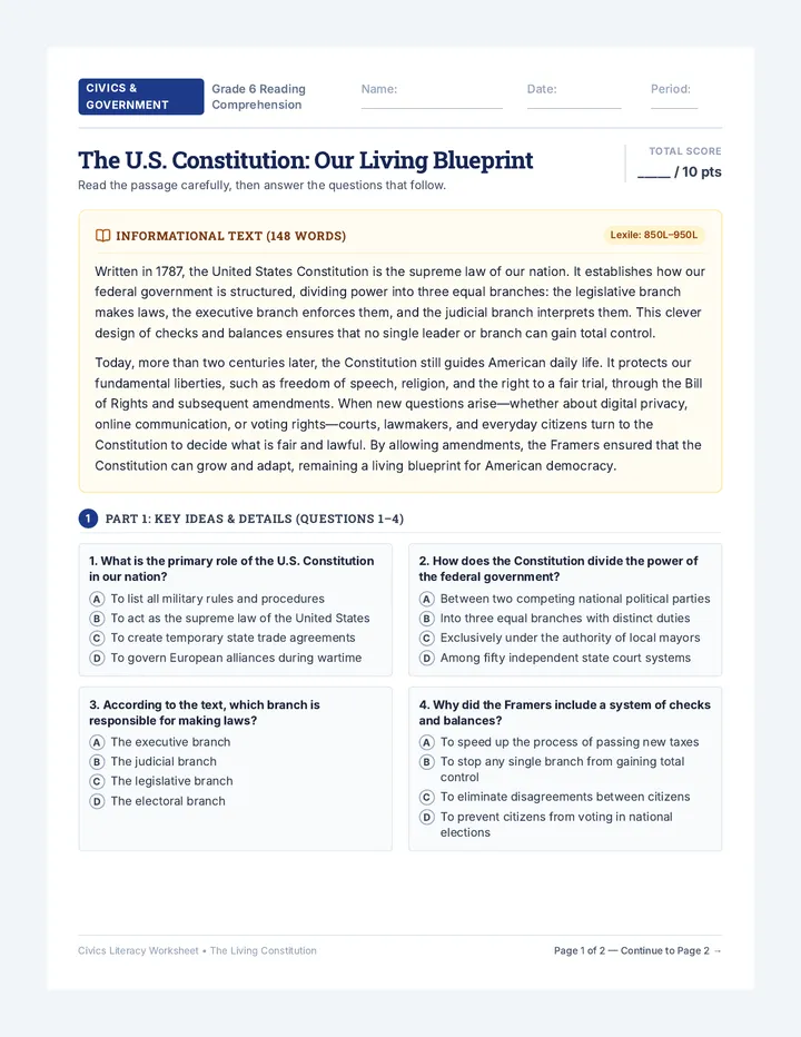
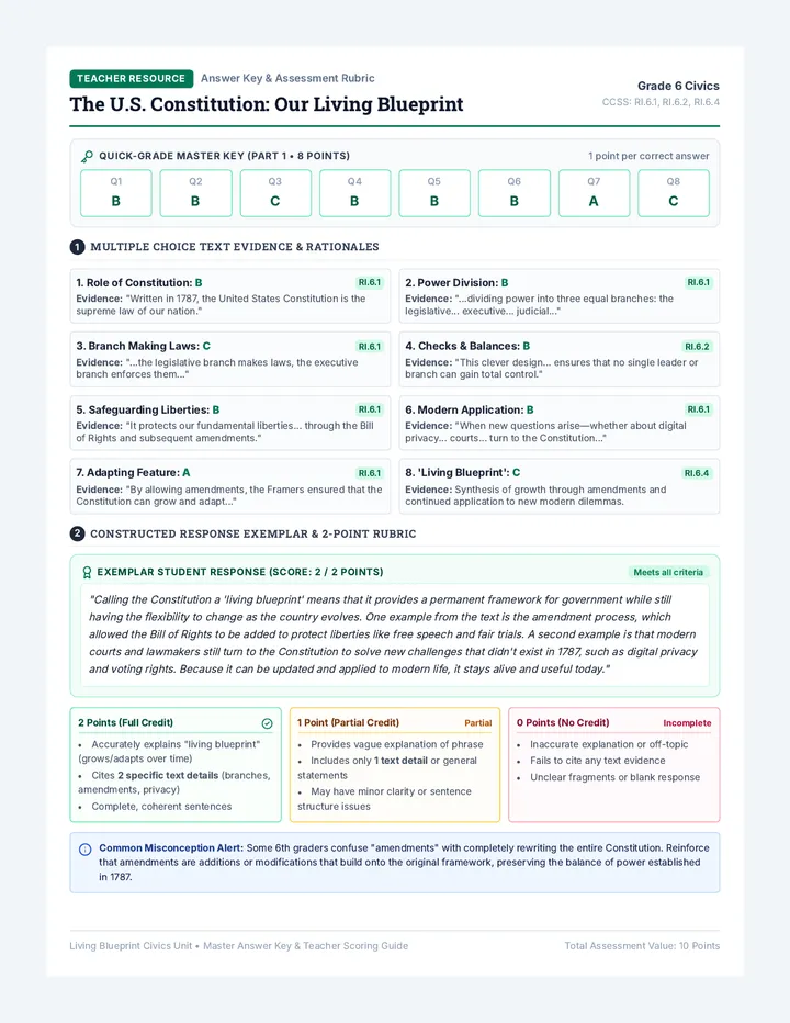
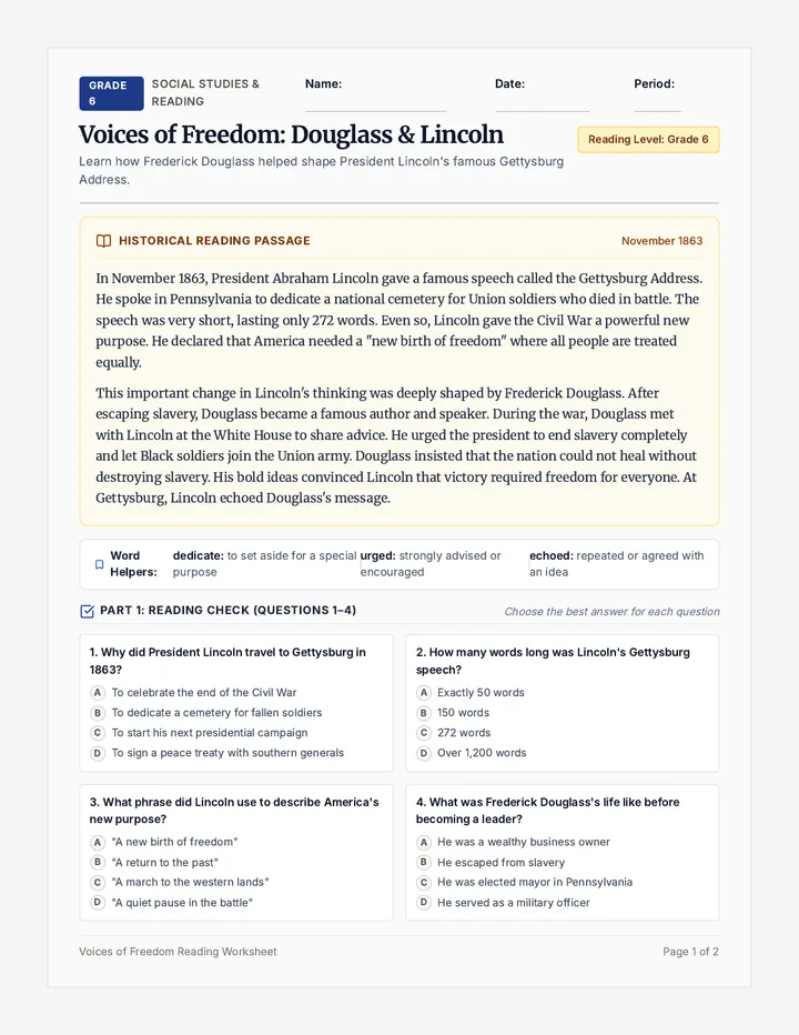
Classroom Cartographers Lesson Plan Educator Curriculum Guide • Grades 3–5
Classroom Cartographers Lesson Plan
60–75 Minutes
Spatial Math & Geography
Curricular Standards
CCSS.MATH.PRACTICE.MP4, MP5, 3.MD.B.4; C3 Framework D2.Geo.1.3-5, D2.Geo.2.3-5.
Essential Question
How do symbols, scale, and directions turn our 3D room into a reliable 2D navigation tool?
Materials Required
Measuring tapes, clipboards, colored pencils, student grid sheets, navigation task cards.
Learning Objectives
• Construct a Scaled Grid Map: Translate classroom landmarks into proportional 2D symbols on an alphanumeric grid.
• Design Map Keys: Standardize at least 5 distinct map symbols representing stationary fixtures.
• Directional Navigation: Execute multi-step routes using cardinal directions (N, S, E, W) and coordinates.
Core Spatial Vocabulary
Bird's-Eye View:
Looking directly down from above as if flying overhead.
Map Key / Legend:
An explanatory table that defines symbols and colors.
Scale Ratio:
Relationship between map grid units and actual floor tile lengths (e.g., 1 tile = 1 square).
Cardinal Directions:
The four primary points of a compass: North, South, East, West.
Phase-by-Phase Instructional Pathway
Phase 1: The Giant Overhead Camera (Hook & Inquiry) 10 Mins
Stand atop a sturdy low stool or display slide 2. Prompt: "If a tiny drone hovered under our ceiling tiles looking straight down, what would your desk look like? Would you see chair legs or just flat rectangles?"
Have students hold a pencil horizontally at eye level, then look straight down on its tip to demonstrate aerial projection.
Phase 2: Cartography Anatomy (Direct Instruction) 15 Mins
Introduce the 4 Pillars of Navigation using the slide deck: (1) Orienting with Compass Rose : Establish classroom "Classroom North" (e.g., the front whiteboard wall). (2) Grid Coordinates : Alphanumeric columns (A–L) and rows (1–12). (3) The Legend : Geometric clarity over artistic clutter. (4) Unit Scale : Using floor tiles or pace lengths as standard spatial units.
Anchor check: Post cardinal posters (N-S-E-W) on classroom walls so students can bodily orient during the lesson.
Classroom Cartographers Educator Guide Page 1 of 2
Classroom Cartographers • Guided Practice & Assessment
Fieldwork & Debrief
Phase 3: The Room Surveyor Expedition (Independent / Partner Work) 25 Mins
Partners receive the Room Mapper Worksheet . Teams assign roles: Lead Surveyor (counts paces/tiles and measures) and Chief Cartographer (plots onto the 12×12 grid and records symbols in the legend).
Step 1: Anchor the perimeter walls and identify entrance door at coordinate origins.
Step 2: Plot 4 primary zones: Teacher Station, Student Desk Pods, Library/Rug, Storage/Sink.
Step 3: Establish a neat legend with recognizable geometric icons.
Phase 4: Grid Navigation Challenge & Peer Pilot 15 Mins
Distribute the Grid Navigation Challenge Activity . Students swap maps or use mystery route prompt cards to navigate between landmarks using only cardinal directions and coordinate addresses (e.g., "From B2, travel 4 units East, then 3 units South. Where are you?").
Common Misconceptions
Perspective Drift: Drawing 3D vertical sides of tables rather than flat overhead footprints. Prompt: "Imagine you pressed a giant stamp onto the table top." Relative vs. Cardinal: Confusing "turn left" with "turn West." Fix: Reinforce that classroom North remains constant regardless of which way the student turns.
Differentiated Pathways
Support / Scaffolding: Pre-mark corner landmark anchors (A1 door, L12 back corner). Use 2-color highlighters to trace X-axis letters and Y-axis numbers.Extension / Challenge: Introduce diagonal vector movements (NE, SW) or calculate total perimeter distance travelled in physical feet based on scale ratios.
Cartography Mastery Rubric Formative & Summative Criteria
Skill Category Proficient (3 pts) Developing (2 pts) Emerging (1 pt) Aerial Perspective All items shown strictly in 2D top-down view. 1–2 items mistakenly drawn with 3D sides. Majority drawn as side profiles. Map Key & Symbols 5+ clean, distinct symbols accurately keyed. 3–4 symbols; minor mismatch with grid. Key missing or ambiguous symbols. Grid & Navigation Coordinates and cardinal directions used without error. Minor coordinate reversal (row vs. column). Relies on vague directions (up, left, there).
Debrief Prompt (5 mins): "If our principal had never visited our room, could they find the pencil sharpener in the dark using your map? Which map feature would help them most?"
Classroom Cartographers Educator Guide Page 2 of 2
Classroom Cartography Slide Deck Spatial Expedition • Unit 1
Classroom Explorers
Mapmakers in Training
Cartography of the Classroom
Discover how to look from above, measure your world, and turn our learning space into a master navigation grid.
Perspective • Measurement • Navigation
Ready for Field Surveying
Perspective Shift
What is a Bird's-Eye View?
Cartographers draw maps from directly above, looking down like an eagle soaring over the roof.
Side View (Human View)
What we see standing up:
Chair legs, drawer handles, table edges
Front objects block things behind them
Great for walking, hard for navigating!
Bird's-Eye View (Map View)
What the drone sees from above:
Flat shapes: rectangles, circles, paths
Shows exact layout and open walking pathways
⭐ This is the perspective we draw today!
Classroom Cartography • Aerial Vision Slide 2 of 8
Cartographer Toolkit
The Four Map Essentials
Every reliable map in human history relies on these four navigation pillars:
1. Compass Rose
Points out North, South, East, and West so no explorer gets turned around.
2. Map Key
Translates every symbol, color, and drawing into plain words.
3. Grid System
Alphanumeric coordinates like [C, 4] to pinpoint exact positions.
4. Unit Scale
Keeps sizes true: 1 square on paper = 1 floor tile in real life.
Classroom Cartography • The 4 Pillars Slide 3 of 8
Orientation Check
Classroom Cardinal Directions
In our classroom, North is always the whiteboard wall. It never changes!
NORTH: Front Board
WEST: Windows
YOU
EAST: Hall Door
SOUTH: Back Cubbies
Memory Trick
N ever E at S oggy W affles
Clockwise order: North → East → South → West!
The Golden Cartography Rule
Even if you spin in circles, North stays North . Always face your map toward the front board!
Classroom Cartography • Cardinal Directions Slide 4 of 8
Coordinate Precision
How to Read the Grid
Room Mapper Worksheet Classroom Cartographers: Field Notebook
Part 1: Surveyor Training
Name:
Date:
Desk Pod:
1
Perspective Shift: Bird's-Eye View vs. Side View
Cartographers draw blueprints looking straight down from above. Look at each everyday object below. Circle whether the image depicts a Side View or a Bird's-Eye View .
Object A: Classroom Desk with 4 legs showing
[ Side View ] [ Bird's-Eye ]
RUG TOP
Object B: Flat rectangle viewed straight down
[ Side View ] [ Bird's-Eye ]
Object C: Book standing upright with cover & spine
[ Side View ] [ Bird's-Eye ]
2
Cardinal Orientation: Label the Classroom Compass
Our front whiteboard is designated as NORTH . Fill in the missing cardinal directions on the compass rose and write the matching classroom landmark for each direction.
NORTH (N)
[ ____ ]
[ ____ ]
SOUTH ( [ ___ ] )
1. Whiteboard Wall represents: NORTH
2. Outside Window Wall is:
3. Hallway Entrance Door is:
4. Back Cubbies / Coat Hooks is:
3
Scale Ratio & Measurement Math
Classroom maps use scale so big objects fit onto small paper. Our classroom scale rule is: 1 grid square = 2 floor tiles (or 2 feet) .
A. The reading rug measures 6 floor tiles wide . How many grid squares wide will you draw the rug on your map?
Calculation / Answer:
B. If the teacher's desk takes up 3 grid squares long on your paper, how many real floor tiles long is the desk?
Calculation / Answer:
Classroom Cartographers • Student Worksheet Page 1 of 2
Official Blueprint Sheet
Master Classroom Grid Map
Scale: 1 Square = 2 Floor Tiles
North ↑
NORTH (Whiteboard Wall) ↑
A B C D E F G H I J K L
SOUTH (Cubbies & Storage) ↓
Official Map Key
Draw your symbol & label fixture
Teacher's Desk
Student Pod Desks
Classroom Library Rug
Entrance / Exit Door
Sink & Water Station
Student Cubby Wall
Custom Symbol: ______
Cartographer Note: Color code your items so emergency navigators can spot exits and pathways instantly!
Grid Navigation Challenge Activity Grid Navigation Challenge Activity
Expedition Missions 1 & 2
Navigator:
Partner:
Date:
1
Mission 1: The Emergency Supply Trail
North = Up (↑) | 1 Unit = 1 Square
The art supplies are scattered across the room! Trace the navigator's exact trail on the mini-grid below starting from the classroom entrance.
↑ NORTH ↑
ABCDEFGH
START
RUG
PODSINK
DESK
GOAL
↓ SOUTH ↓
Step 1: The Departure
Begin at Door [A, 1] . Move 3 units South , then 2 units East .
Waypoint 1 Coordinate:
Step 2: Supply Pick-up
From Waypoint 1, move 4 units East , then 2 units North .
Which fixture did you reach?
Step 3: The Drop-off
From that fixture, move 6 units South , then 1 unit East .
Final Destination Landmark:
2
Mission 2: Structural Hazard Detour (Layout Puzzle)
Route Engineering
Problem: Oh no! A wet-paint easel barrier blocks the main hallway passage at coordinate [D, 4] and [D, 5] . No student may step on these two squares!
Write a safe navigation path from Desk Pod [C, 4] to the Water Sink [G, 4] that maneuvers completely around the blocked squares.
Your Step-by-Step Directions:
1. From [C, 4], move units .
2. Then, move units .
3. Finally, move units .
Detour Math Analysis:
How many total grid steps did your detour route take?
Total Units Walked:
Classroom Cartographers • Navigation Challenge Page 1 of 2
Collaborative Field Mission
Partner Nav-Quest & Layout Brainteaser
2-Player Mission
3
Partner Navigation Challenge: Write & Test
Player 1 writes a secret navigation mission below. Then swap papers! Player 2 follows the clues using the Master Classroom Grid Map to solve the secret code.
Player 1: Clue Master Do not let partner see!
Start Point Coordinate:
Step 1 Direction & Units:
Step 2 Direction & Units:
Step 3 Direction & Units: