Lenny.com
Explore
Create
ActivitiesNewMathEnglish Language ArtsScience & EngineeringSocial StudiesGlobal LanguagesHealth & Physical EducationSpecial EducationCounseling & Life SkillsArts & CreativityESL
Lenny.com
Lenny.com
Explore
Create
ActivitiesNewMathEnglish Language ArtsScience & EngineeringSocial StudiesGlobal LanguagesHealth & Physical EducationSpecial EducationCounseling & Life SkillsArts & CreativityESL
Lenny.com
Social StudiesSocial Studies PracticesLocation WordsMapsOrder EventsChronology and CausationEvaluating SourcesHistorical ThinkingGeography, Humans, & the EnvironmentAmerican Symbols and LandmarksCitiesStatesState CapitalsRegions of the United StatesGeographic SkillsPhysical GeographyHuman GeographyRegional GeographyGeography of AfricaGeography of AsiaGeography of EuropeGeography of OceaniaGeography of the AmericasSociety and Environment of EuropeSociety and Environment of AsiaSociety and Environment of The AmericasSociety and Environment of the Middle EastSociety and Environment of AfricaHistoryPrehistoryComparing Ancient River CivilizationsAncient MesopotamiaAncient Egypt and KushAncient South AsiaEarly ChinaGreeceRome and the Byzantine EmpireAncient World HistoryNative Peoples of North AmericaNative Peoples of Mesoamerica and South AmericaAfrican EmpiresMedieval AsiaMedieval EuropeThe Silk RoadMedieval HistoryIslamic EmpiresWorld ReligionsRenaissance PeriodAge of ExplorationThe Thirteen ColoniesThe American RevolutionUS History Early RepublicFounding of the United StatesUS History AntebellumUS Civil WarReconstruction PeriodThe Gilded AgeUS ImperialismWorld ImperialismWorld War IUS History 1920sGreat DepressionWorld War IIThe Cold WarUS History 1950-60sUS History 1960s-70sWorld History 20th CenturyContemporary US HistoryContemporary World HistoryHolidaysCivics and GovernmentCitizenshipGovernment FoundationsThe ConstitutionUS ConstitutionExecutive BranchLegislative BranchJudicial BranchState and LocalPolitical ParticipationPublic PolicyPolitical SystemsPower and AuthoritySocial MovementsDefining DevianceTheories of DevianceCrime and Criminal JusticeEconomicsBasic Economic PrinciplesSupply and DemandWhat is MoneyEconomic FundamentalsMicroeconomicsMacroeconomicsBanking and FinanceEconomic SystemsGlobal EconomicsCorporations and PowerThe Changing WorkplaceUnemployment and LaborClass and InequalitySocial MobilityGlobal InequalityPsychologyHistory of PsychologyPsychology as a ScienceBrain and Nervous SystemNeuroscience and BehaviorGenetics and BehaviorSleep and ConsciousnessSensory ProcessesPerceptual OrganizationClassical ConditioningOperant ConditioningObservational LearningCognitive LearningMemory ProcessesThinking and Problem SolvingLanguage and CognitionTheories of MotivationStress and CopingPrenatal and Infant DevelopmentChildhood DevelopmentAdolescent DevelopmentAdulthood and AgingSelf and IdentitySocial CognitionSocial InfluenceAttraction and RelationshipsGroup BehaviorPrejudice and DiscriminationAnxiety and Mood DisordersClinical PsychologyForensic PsychologyPhilosophy & EthicsIntroduction to PhilosophyMajor Philosophers & IdeasMind and Body ProblemFree Will vs DeterminismEthics & MoralityReligion & PhilosophyPolitical Philosophy
Lenny.com

Solutions

Lenny for EducatorsLenny for SchoolsLenny for Districts

Product

ExploreSign inCreateSupportAbout

Resources

Getting startedMTSS Acceleration Program

© 2026 Lenny Learning Inc.

TermsPrivacyAccessibility
LinkedInInstagramX
Lenny

Maps

Cartographic principles including map symbols, legends, and scale. Develops spatial reasoning through the study of political, physical, and thematic maps.

Videos

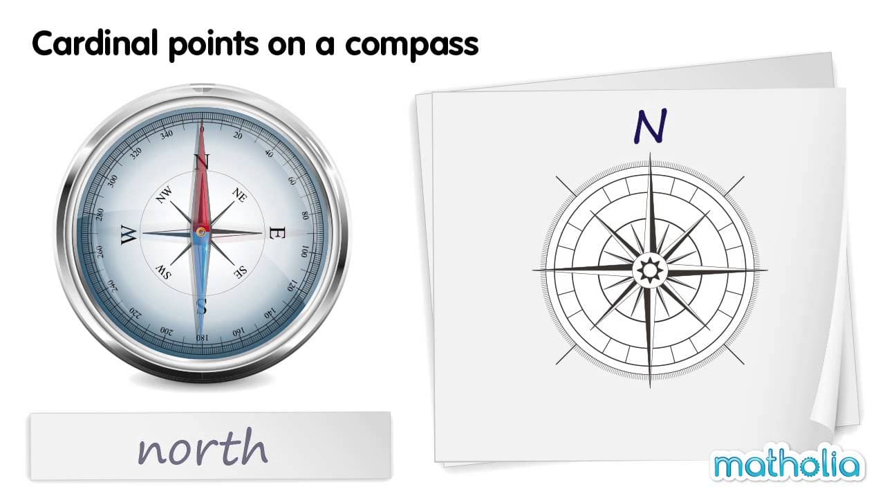
Reading Compass Directions: The Ordinal Points

Reading Compass Directions: The Ordinal Points

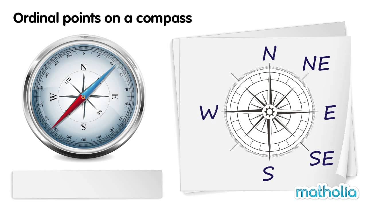
This educational video provides a clear and structured introduction to the ordinal (or intercardinal) points of a compass. Building upon the basic cardinal directions of North, South, East, and West, the video demonstrates how intermediate directions are named based on the two cardinal points they lie between. Through a visual demonstration using a realistic compass needle and a diagram, viewers learn to identify, name, and abbreviate North-East (NE), South-East (SE), South-West (SW), and North-West (NW). The video explores key themes of spatial orientation, map reading skills, and the terminology of navigation. It explicitly distinguishes between cardinal points and ordinal points, helping students understand the logic behind the naming convention (e.g., why it is "North-East" and not "East-North"). The systematic presentation reinforces the cyclical nature of the compass rose. For educators, this resource is an excellent tool for introducing map skills and geography concepts in lower elementary grades. It visually bridges the gap between abstract direction names and the physical movement of a compass needle. Teachers can use this video to scaffold lessons on reading maps, giving directions, or understanding location relative to a fixed point, making it valuable for both Social Studies and Math (spatial reasoning) curriculums.

MatholiaChannelMatholiaChannel

1min 41s

Understanding Cardinal Directions on a Compass

Understanding Cardinal Directions on a Compass

This concise educational video introduces young learners to the compass and the four cardinal directions: North, South, East, West. Using clear, high-quality animations of a realistic compass alongside a simplified compass rose diagram, the video systematically demonstrates how the red needle points to each direction. It provides a visual and auditory explanation of how to identify directionality using this essential navigational tool. The video focuses on two main themes: identifying the parts of a compass (specifically the directional needle) and associating the four primary directions with their names and abbreviations (N, E, S, W). It steps through each direction individually, allowing students to see the needle move and establish a mental connection between the visual position (up, right, down, left) and the corresponding directional term. For educators, this resource serves as an excellent foundational tool for geography and social studies units on maps and navigation. It is particularly useful for introducing the concept of orientation before moving on to map reading skills. Teachers can use this video to help students understand that 'up' on a map typically corresponds to North, and to introduce the standard abbreviations used on maps and globes. The clear pacing makes it suitable for young children learning spatial concepts for the first time.

MatholiaChannelMatholiaChannel

1min 21s

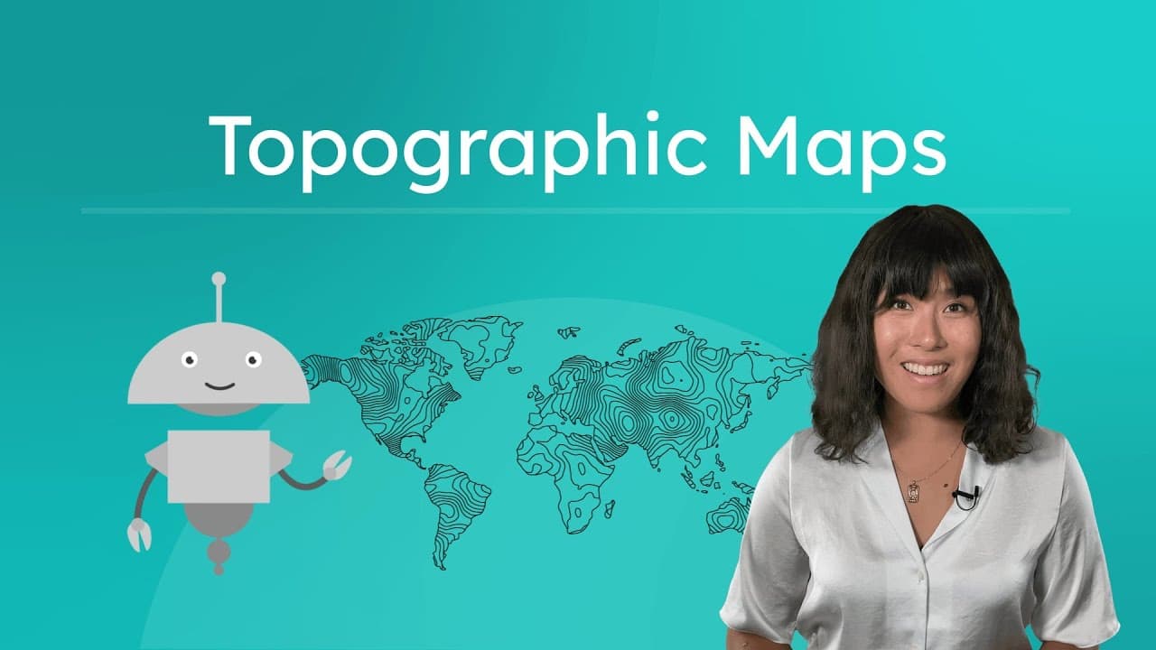
How to Read Relief and Topographic Maps

How to Read Relief and Topographic Maps

This educational video provides a clear and engaging introduction to three specific types of maps: political, relief, and topographic. While acknowledging that most students are familiar with political maps that show country borders, the narrator explains that these are insufficient for understanding the physical features of the Earth. The video then transitions into a detailed explanation of relief maps, which use color gradients to depict elevation, and topographic maps, which use contour lines to show the shape and height of landforms with precision. The content explores key geographical concepts such as elevation, relief (the difference between highest and lowest points), and topography. It uses visual examples to demonstrate how to interpret color coding on relief maps—where darker often means higher on land but deeper in water—and how to read contour lines on topographic maps, including how line spacing indicates slope steepness. The video actively engages viewers by asking them to pause and interpret visual data, fostering critical thinking skills related to spatial reasoning. For educators, this video serves as an excellent foundational resource for Earth Science and Geography units. It effectively bridges the gap between seeing a flat map and visualizing a three-dimensional world. Teachers can use this video to launch lessons on map reading skills, landform identification, or preparing for outdoor activities like hiking where understanding terrain is crucial. The clear definitions and side-by-side comparisons make complex spatial concepts accessible to students.

Miacademy & MiaPrep Learning ChannelMiacademy & MiaPrep Learning Channel

8mins 52s

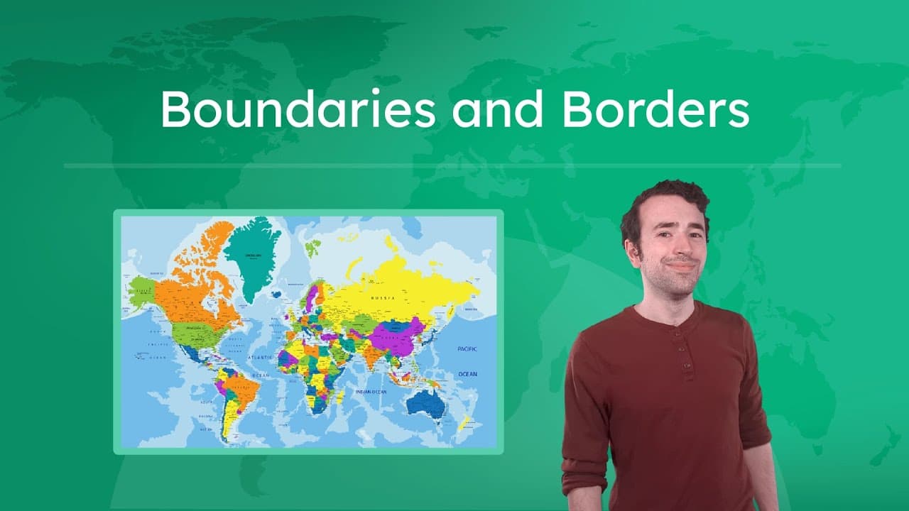
Why Borders Matter: Maps, Shapes, and Sovereignty

Why Borders Matter: Maps, Shapes, and Sovereignty

This engaging educational video explores the complex world of political geography through a relatable analogy of a backyard dispute between neighbors. By comparing a property line disagreement to international border conflicts, the host breaks down abstract geopolitical concepts like sovereignty, resource rights, and cultural boundaries into easily understandable terms. The video transitions between a live-action skit and detailed map animations to illustrate how borders are defined, why they change over time, and how they function in the real world. The content covers essential geography curriculum topics including the difference between physical and political maps, types of borders (demarcated, delimited, natural, and geometric), and state morphology (the shapes of countries). It specifically defines and provides real-world examples for five key state shapes: compact, prorupted, elongated, fragmented, and perforated. Additionally, it tackles advanced concepts like enclaves and exclaves, using visual diagrams to clarify these often-confusing terms. For educators, this video serves as an excellent anchor for units on World Geography or Human Geography. It transforms dry vocabulary into a narrative about solving a conflict, making it perfect for introducing state shapes or discussing the causes of geopolitical tension. The clear definitions and visual examples of countries like Namibia, Chile, and South Africa provide ready-made case studies for classroom analysis.
Miacademy & MiaPrep Learning ChannelMiacademy & MiaPrep Learning Channel

11mins 52s

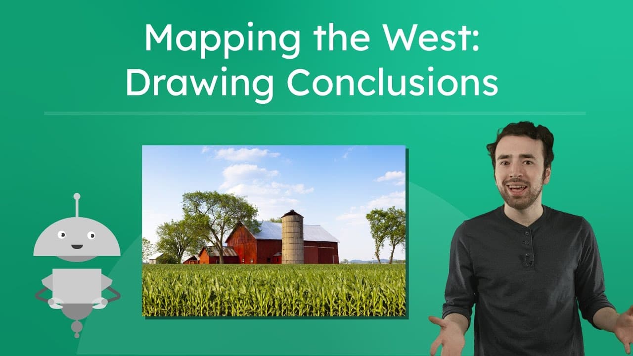
Using Maps to Understand Life in the Western US

Using Maps to Understand Life in the Western US

This educational video takes students on a virtual road trip to the Western United States to master advanced map-reading skills. Hosted by a narrator named Justin, the lesson moves beyond simply identifying locations to teaching critical thinking skills: drawing conclusions and making inferences. The video explicitly distinguishes between these two concepts, defining drawing conclusions as forming ideas based on presented information, and making inferences as combining that information with prior knowledge to guess details not directly shown.

Miacademy & MiaPrep Learning ChannelMiacademy & MiaPrep Learning Channel

8mins 30s

How U.S. Foreign Policy Evolved: Isolationism to Imperialism

How U.S. Foreign Policy Evolved: Isolationism to Imperialism

This educational video explores the evolution of United States foreign policy throughout the 19th and early 20th centuries, using an engaging analogy of a teenager going through different life phases. The narrator breaks down complex political concepts into three main categories: Isolationism, Interventionism, and Imperialism. By comparing a nation's growth to human development, the video makes abstract historical strategies accessible and relatable for students.

Miacademy & MiaPrep Learning ChannelMiacademy & MiaPrep Learning Channel

12mins 18s

Materials

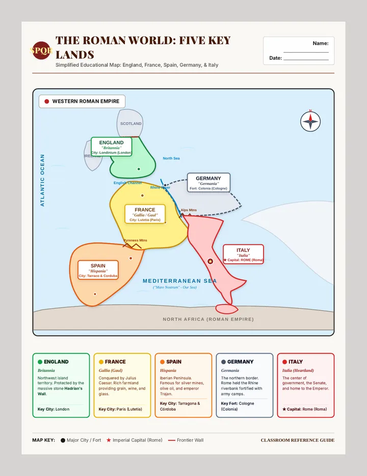
Empire Frontiers Reference Map

Empire Frontiers Reference Map

A simplified, high-clarity single-page reference map of Western Europe under Roman rule. Clearly highlights and labels Spain (Hispania), France (Gallia), England (Britannia), Germany (Germania), and Italy (Italia) with bold color coding, ancient and modern names, key capitals, and a student reference guide.

JT

Julie Teske

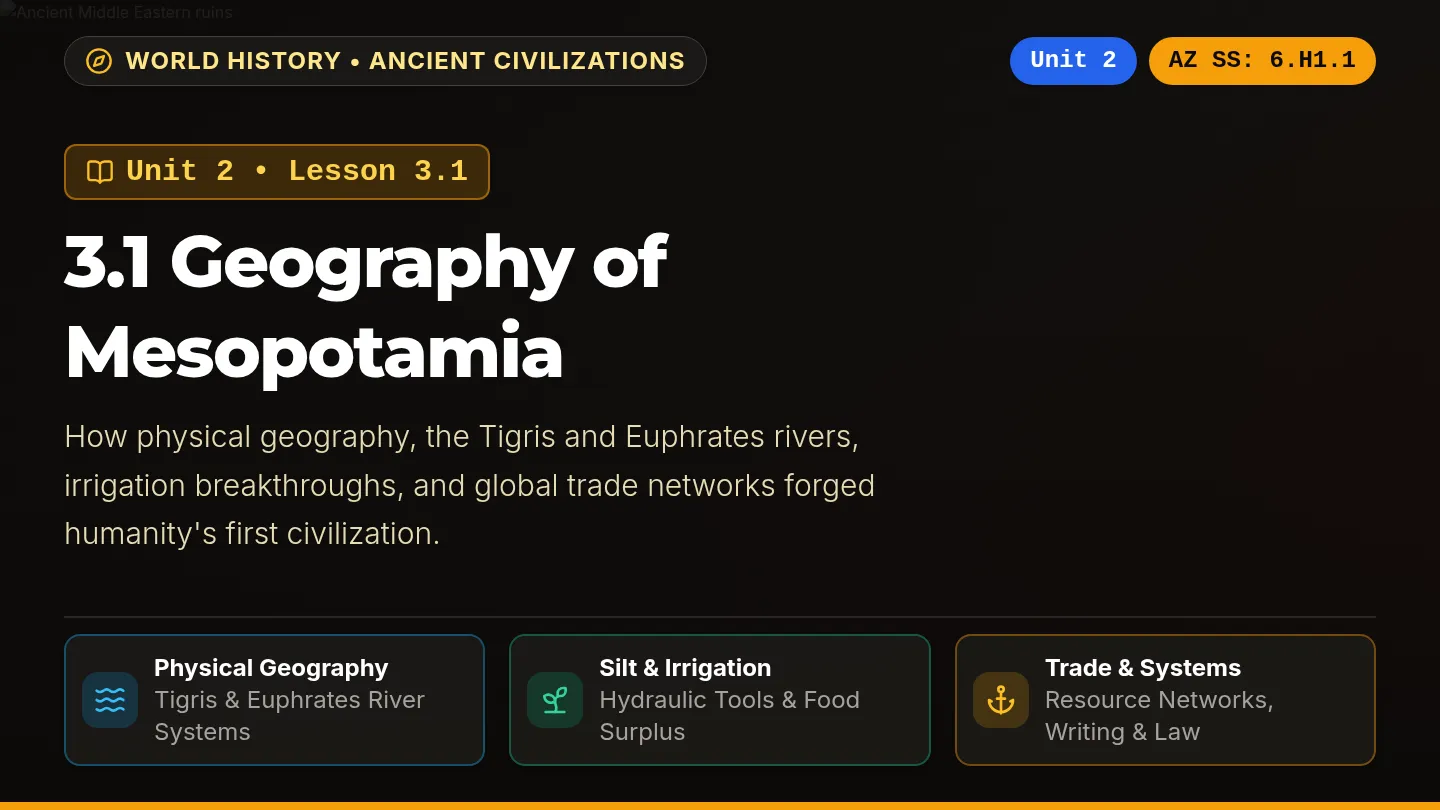
River Cradle Slides

River Cradle Slides

A dark-themed, visually vibrant classroom slide deck labeled Unit 2: Lesson 3.1 Geography of Mesopotamia, aligned with Arizona History and Social Science standards on every slide, featuring rich photography, high-contrast color-coded cards, and interactive review prompts.

SZ

Sandra Zoerhoff

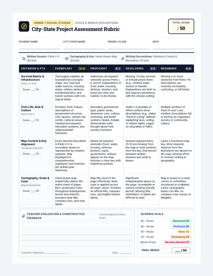
City State Architect Rubric

City State Architect Rubric

A comprehensive 50-point rubric for a 7th grade social studies city-state creation project. Assesses written descriptions across survival, infrastructure, government, and culture, alongside map design, symbol keys, and sentence count compliance.

MM

Matthew McGonagle

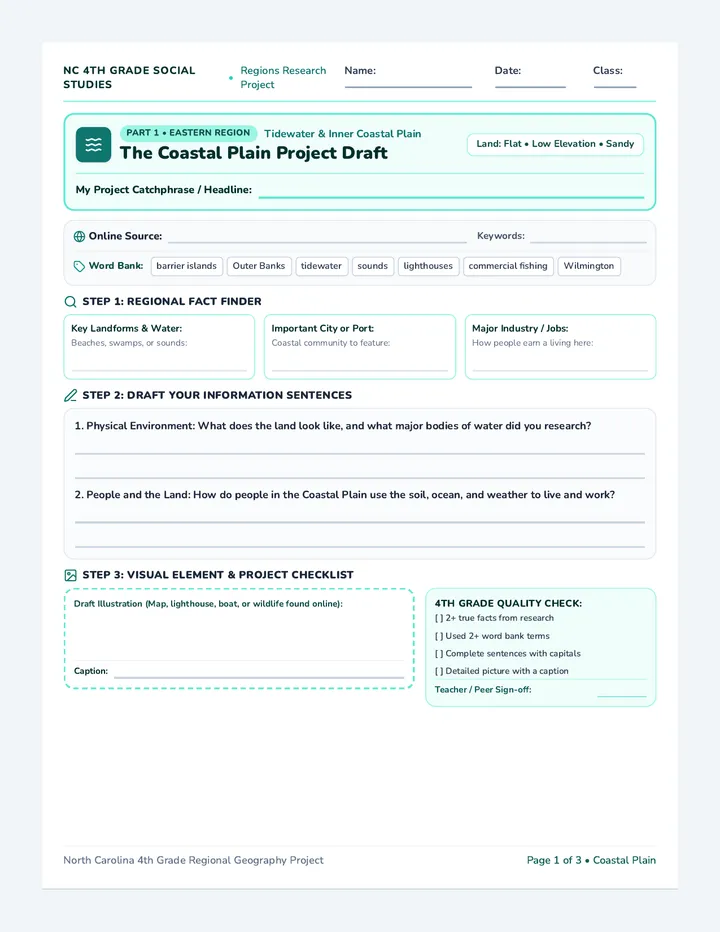
Carolina Regions Draft Sheet

Carolina Regions Draft Sheet

A three-page printable project draft sheet for 4th grade students researching North Carolina's regions. Includes both an online research source tracker and regional academic word banks, structured fast-fact cards, guided drafting lines, an illustration workspace with captions, and a 4th grade quality check.

TG

Tolisha Goldston

Mesopotamia Adventure Packet

Mesopotamia Adventure Packet

A 6-page printable-ready student adventure packet about ancient Mesopotamia with enlarged readable Nunito fonts, a 5-paragraph reading passage, 4 text-dependent questions, scaffolded missions, and a culminating Settler Council simulation.

D

destiny.lanier

Map Explorers Worksheet

Map Explorers Worksheet

A rigorous 2-page 5th-grade reading comprehension worksheet adapted from 'Reading Maps and Globes' for Spanish ESL learners. Features rich academic vocabulary with Latinate cognates, numbered text sections, academic summary sentence frames, and rigorous text-evidence multiple-choice questions with POE strategy.

MG

Max Garner

Sequences

Invention Boom Slides

Modern Era Odyssey

A 13-day journey through modern American history, from the Industrial Revolution to the present day, focusing on key historical figures and major conflicts as outlined in the 5th Grade TEKS. Each lesson is designed for a quick 30-minute block, integrating multimedia and primary source analysis.

CH

Courtney Holdren

49
Cotton Kingdom Slides

Divided Nation

A 4-part exploration of the deep-seated tensions and pivotal events that led the United States to the brink of the Civil War, focusing on economic shifts, legislative compromises, and political flashpoints.

IA

Isabella Adkins

9
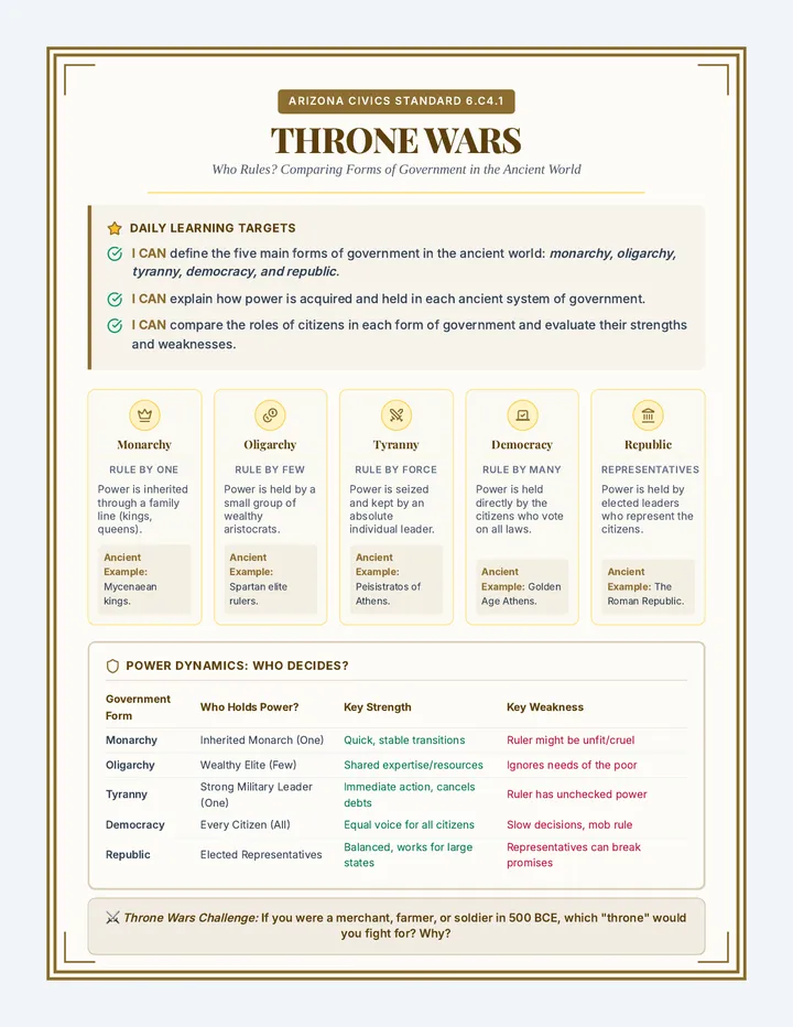
Throne Wars Anchor Chart

Rise of Civilization

A comprehensive 6th-grade social studies unit exploring the trajectory of human history, from nomadic hunter-gatherers and the cognitive evolution of early humans, to the agricultural revolution, and finally the development of structured ancient governments.

SZ

Sandy Zoerhoff

10
Mission Message Guide Enseignant

Expertise Formation Premier Degré

Une série de modules de formation destinés aux conseillers pédagogiques pour renforcer leur expertise en ingénierie de formation continue, spécifiquement appliquée à l'enseignement du français à l'école primaire.

VD

Val Désirée

27
Skelton Spotlight Teacher Guide

Skelton Spotlight

A three-day exploration of the life and legacy of Indiana-born comedian Red Skelton, presented in a vibrant magazine format. Students explore his early life in Vincennes, his iconic characters, and his lasting impact on American comedy through reading and creative performance activities.

MG

Matthew Gaudin

8
Word Power Lesson Plan

Fourth Grade Core Units

Fourth-grade standards-aligned instructional sequence featuring integrated English Language Arts literary analysis and North Carolina regional geography and historical development.

DG

Debra Golden

11