Lenny.com
Explore
Create
ActivitiesNewMathEnglish Language ArtsScience & EngineeringSocial StudiesGlobal LanguagesHealth & Physical EducationSpecial EducationCounseling & Life SkillsArts & CreativityESL
Lenny.com
Lenny.com
Explore
Create
ActivitiesNewMathEnglish Language ArtsScience & EngineeringSocial StudiesGlobal LanguagesHealth & Physical EducationSpecial EducationCounseling & Life SkillsArts & CreativityESL
Lenny.com
Lenny.com

Solutions

Lenny for EducatorsLenny for SchoolsLenny for Districts

Product

ExploreSign inCreateSupportAbout

Resources

Getting startedMTSS Acceleration Program

Newsletters

School Funding Newsletter

© 2026 Lenny Learning Inc.

TermsPrivacyAccessibility
LinkedInInstagramX
Lenny

Regional Geography

Distinct physical and human characteristics of world regions, emphasizing spatial distributions and cultural landscapes. Examines the complex interactions between human populations and their specific environments across different continents.

Social StudiesSocial Studies PracticesLocation WordsMapsOrder EventsChronology and CausationEvaluating SourcesHistorical ThinkingGeography, Humans, & the EnvironmentAmerican Symbols and LandmarksCitiesStatesState CapitalsRegions of the United StatesGeographic SkillsPhysical GeographyHuman GeographyRegional GeographyGeography of AfricaGeography of AsiaGeography of EuropeGeography of OceaniaGeography of the AmericasSociety and Environment of EuropeSociety and Environment of AsiaSociety and Environment of The AmericasSociety and Environment of the Middle EastSociety and Environment of AfricaHistoryPrehistoryComparing Ancient River CivilizationsAncient MesopotamiaAncient Egypt and KushAncient South AsiaEarly ChinaGreeceRome and the Byzantine EmpireAncient World HistoryNative Peoples of North AmericaNative Peoples of Mesoamerica and South AmericaAfrican EmpiresMedieval AsiaMedieval EuropeThe Silk RoadMedieval HistoryIslamic EmpiresWorld ReligionsRenaissance PeriodAge of ExplorationThe Thirteen ColoniesThe American RevolutionUS History Early RepublicFounding of the United StatesUS History AntebellumUS Civil WarReconstruction PeriodThe Gilded AgeUS ImperialismWorld ImperialismWorld War IUS History 1920sGreat DepressionWorld War IIThe Cold WarUS History 1950-60sUS History 1960s-70sWorld History 20th CenturyContemporary US HistoryContemporary World HistoryHolidaysCivics and GovernmentCitizenshipGovernment FoundationsThe ConstitutionUS ConstitutionExecutive BranchLegislative BranchJudicial BranchState and LocalPolitical ParticipationPublic PolicyPolitical SystemsPower and AuthoritySocial MovementsDefining DevianceTheories of DevianceCrime and Criminal JusticeEconomicsBasic Economic PrinciplesSupply and DemandWhat is MoneyEconomic FundamentalsMicroeconomicsMacroeconomicsBanking and FinanceEconomic SystemsGlobal EconomicsCorporations and PowerThe Changing WorkplaceUnemployment and LaborClass and InequalitySocial MobilityGlobal InequalityPsychologyHistory of PsychologyPsychology as a ScienceBrain and Nervous SystemNeuroscience and BehaviorGenetics and BehaviorSleep and ConsciousnessSensory ProcessesPerceptual OrganizationClassical ConditioningOperant ConditioningObservational LearningCognitive LearningMemory ProcessesThinking and Problem SolvingLanguage and CognitionTheories of MotivationStress and CopingPrenatal and Infant DevelopmentChildhood DevelopmentAdolescent DevelopmentAdulthood and AgingSelf and IdentitySocial CognitionSocial InfluenceAttraction and RelationshipsGroup BehaviorPrejudice and DiscriminationAnxiety and Mood DisordersClinical PsychologyForensic PsychologyPhilosophy & EthicsIntroduction to PhilosophyMajor Philosophers & IdeasMind and Body ProblemFree Will vs DeterminismEthics & MoralityReligion & PhilosophyPolitical Philosophy

Videos

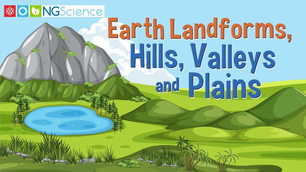
Exploring Earth's Surface: Hills, Valleys, and Plains

Exploring Earth's Surface: Hills, Valleys, and Plains

This educational video provides a visually rich exploration of three fundamental landforms that shape the Earth's surface: hills, valleys, and plains. Through high-quality aerial footage and clear narration, the video defines each landform, explains the geological processes behind their formation—such as erosion, volcanic activity, and sediment deposition—and distinguishes their unique physical characteristics. It moves beyond simple identification to explain the dynamic nature of these landscapes. The content highlights the significant relationship between physical geography and human activity. It illustrates how different landforms dictate land use, from the agricultural potential of fertile plains and valleys to the residential and recreational uses of hills. Specific geological concepts like V-shaped versus U-shaped valleys and the role of drainage systems are introduced, connecting abstract definitions to observable real-world features. For educators, this video serves as an excellent anchor for units on Earth Science, Geography, or Human-Environment Interaction. It seamlessly bridges the gap between physical science (geology) and social studies (human settlement patterns). The clear pacing and specific examples, such as the Great Plains and the Pampas, make it a versatile tool for comparing global landscapes and understanding why civilizations develop in specific locations.

Next Generation ScienceNext Generation Science

4mins 6s

Exploring Megacities: Growth, Challenges, and Global Impact

Exploring Megacities: Growth, Challenges, and Global Impact

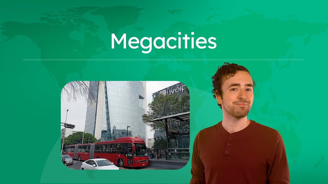
This educational video explores the concept of megacities—urban areas with populations exceeding 10 million people. Narrated by a host named Justin, the video breaks down the complex factors that contribute to the rise of these massive metropolises, including economic opportunities, government infrastructure investments, and favorable geography. It provides a structured analysis of why people migrate to these hubs and uses real-world examples like São Paulo, Shanghai, and New York to illustrate these points. The content also delves into the significant challenges that arise when cities grow this large, such as severe overcrowding, traffic congestion, and environmental pollution. It offers a balanced view by presenting innovative solutions that urban planners use to tackle these issues, from high-speed rail networks in Shanghai to pedestrian-friendly zones in Barcelona and renewable energy initiatives in Dubai. The video encourages students to think critically about urban planning trade-offs through built-in discussion questions. Finally, the video examines the global influence of megacities beyond their borders. It highlights their role as economic powerhouses, cultural trendsetters (referencing Bollywood in Mumbai and K-Pop in Seoul), and political leaders in international agreements like the Paris Climate Accord. This resource is excellent for geography and social studies classrooms as it connects abstract concepts of urbanization with tangible, contemporary examples that help students understand the interconnected nature of modern human settlements.

Miacademy & MiaPrep Learning ChannelMiacademy & MiaPrep Learning Channel

11mins 21s

Why the Bronze Age Civilizations Collapsed

Why the Bronze Age Civilizations Collapsed

In this episode of Crash Course World History, John Green explores the mysterious collapse of the Bronze Age civilizations in the Eastern Mediterranean around 1200 BCE. The video challenges the traditional narrative of separate, isolated civilizations by demonstrating how Egypt, the Hittites, the Mycenaeans, and others formed a highly interconnected international system defined by trade, diplomacy, and war. It examines the evidence for this interdependence, including the famous Uluburun shipwreck and the Amarna Letters.

CrashCourseCrashCourse

12mins 58s

How Geography Shapes Global Food Security

How Geography Shapes Global Food Security

This educational video explores the complex field of agricultural geography, examining why food insecurity persists in a world that produces enough calories to feed everyone. Host Alizé Carrère guides viewers through the intricate web of historical, political, economic, and environmental factors that determine who has access to food. The narrative moves from local examples of farming to global systems, explaining how colonialism, the Columbian Exchange, and various agricultural revolutions have shaped our modern food landscape. The video covers critical themes including the distinction between subsistence and commercial farming, the shift from polyculture to monoculture, and the impact of the Green Revolution. It delves into the geography of hunger, explaining concepts like food deserts and the difference between food availability and food access. Significant attention is paid to how historical events, such as the triangular trade and colonization, disrupted indigenous food systems and established export-oriented economies that still influence global food distribution today. For educators, this resource serves as a powerful tool to connect geography, history, and economics. It moves beyond simple definitions to show students the systems thinking required to understand global challenges. The video provides excellent opportunities for classroom discussions on food justice, the environmental impacts of industrial agriculture, and the importance of biodiversity. It is particularly useful for units on human geography, economic development, and sustainability.

CrashCourseCrashCourse

11mins 32s

How the Silk Roads Spread Ideas and Religions

How the Silk Roads Spread Ideas and Religions

This educational video explores the concept of cultural diffusion through the historical lens of the Silk Roads. While often remembered for the trade of luxury goods like silk and spices, the video argues that the most significant exchange was actually invisible: the spread of ideas, worldviews, and religious beliefs. Host Alizé Carrère guides viewers through how religions like Buddhism, Islam, and Christianity spread and evolved across Asia, Africa, and Europe via these networks, illustrating complex geographic concepts such as relocation, expansion, contagion, and hierarchical diffusion.

CrashCourseCrashCourse

11mins 30s

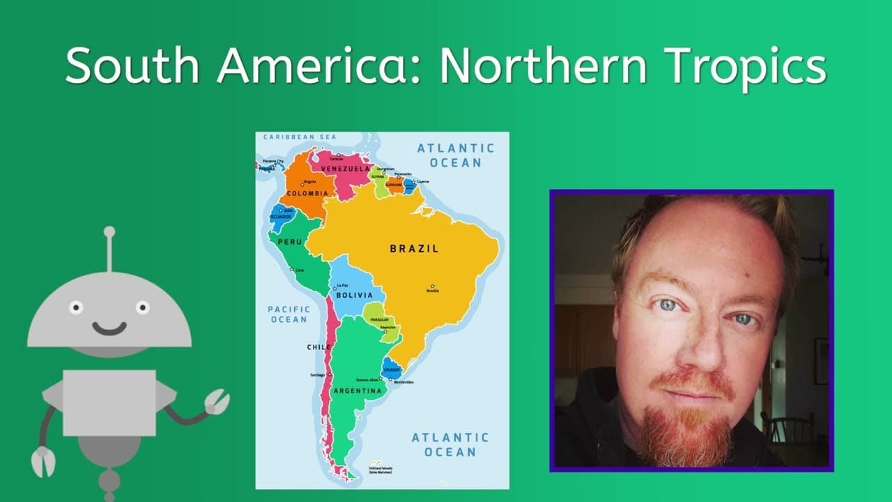
Exploring South America's Northern Tropics: Geography and Culture

Exploring South America's Northern Tropics: Geography and Culture

This video provides a comprehensive geographic and cultural overview of the Northern Tropics region of South America, specifically examining French Guiana, Suriname, Guyana, Venezuela, and Colombia. The narration breaks down the region's diverse physical geography, ranging from the Amazon rainforest and the Guiana Highlands to the Andean peaks and coastal plains. It contrasts the unique colonial histories of each territory, explaining how French, Dutch, British, and Spanish influences have shaped the modern linguistic and religious demographics of the population. Key themes include the economic reliance on natural resources and agriculture, with deep dives into Venezuela's oil-dependent economy and subsequent crisis, as well as Colombia's coffee industry and struggles with the illegal drug trade. The video also highlights the impact of historical migration patterns, including the legacy of the trans-Atlantic slave trade and Asian indentured servitude, on the current ethnic composition of these nations. For educators, this video serves as a powerful tool for comparative regional studies in geography and economics. It allows for rich discussions on human-environment interaction, the "resource curse" in developing economies, and the lasting effects of colonialism. The content bridges physical geography with contemporary social issues, making it ideal for units on Latin America, global economics, or cultural geography.
Miacademy & MiaPrep Learning ChannelMiacademy & MiaPrep Learning Channel

11mins 52s

Materials

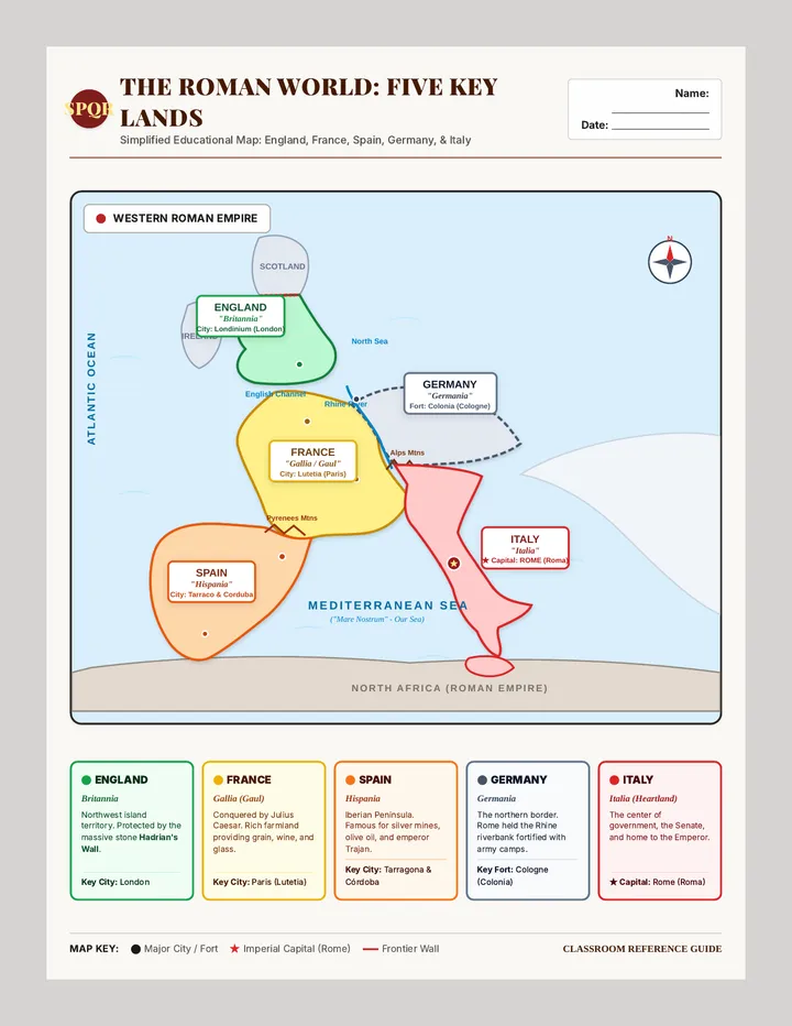
Empire Frontiers Reference Map

Empire Frontiers Reference Map

A simplified, high-clarity single-page reference map of Western Europe under Roman rule. Clearly highlights and labels Spain (Hispania), France (Gallia), England (Britannia), Germany (Germania), and Italy (Italia) with bold color coding, ancient and modern names, key capitals, and a student reference guide.

JT

Julie Teske

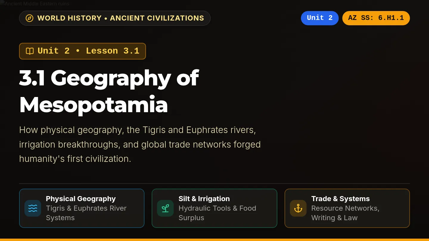
River Cradle Slides

River Cradle Slides

A dark-themed, visually vibrant classroom slide deck labeled Unit 2: Lesson 3.1 Geography of Mesopotamia, aligned with Arizona History and Social Science standards on every slide, featuring rich photography, high-contrast color-coded cards, and interactive review prompts.

SZ

Sandra Zoerhoff

Central American Freedom Reading Worksheet

Central American Freedom Reading Worksheet

A Grade 8-9 dual-language reading and multiple-choice worksheet covering Central American Independence Day (September 15, 1821). Features a 4-paragraph parallel English and Spanish text alongside 6 standards-aligned bilingual multiple choice questions assessing key historical concepts, leaders, and civic traditions.

GJ

Gerardo Jimenez Ramirez

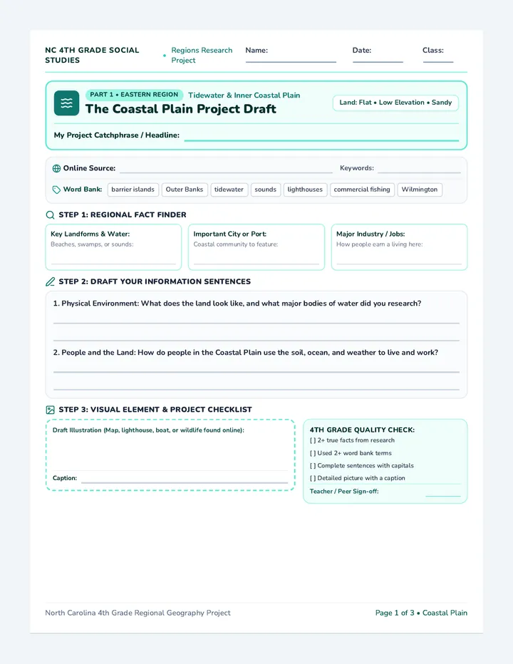
Carolina Regions Draft Sheet

Carolina Regions Draft Sheet

A three-page printable project draft sheet for 4th grade students researching North Carolina's regions. Includes both an online research source tracker and regional academic word banks, structured fast-fact cards, guided drafting lines, an illustration workspace with captions, and a 4th grade quality check.

TG

Tolisha Goldston

Mesopotamia Adventure Packet

Mesopotamia Adventure Packet

A 6-page printable-ready student adventure packet about ancient Mesopotamia with enlarged readable Nunito fonts, a 5-paragraph reading passage, 4 text-dependent questions, scaffolded missions, and a culminating Settler Council simulation.

D

destiny.lanier

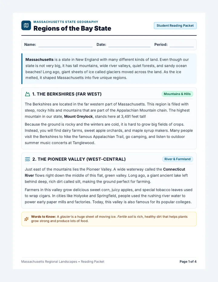
Bay State Regions Worksheet

Bay State Regions Worksheet

An accessible four-page informational reading comprehension packet about Massachusetts regions written at an elementary/early-middle grade reading level. Features clear definitions, friendly explanations, large fonts, multiple-choice questions, clue matching, and spacious short-response writing lines.

C

cfassel

Sequences

Invention Boom Slides

Modern Era Odyssey

A 13-day journey through modern American history, from the Industrial Revolution to the present day, focusing on key historical figures and major conflicts as outlined in the 5th Grade TEKS. Each lesson is designed for a quick 30-minute block, integrating multimedia and primary source analysis.

CH

Courtney Holdren

49
Our Colorful Class Warm Up

Our Diverse World

A comprehensive 3rd-grade curriculum exploring global diversity through identity, traditions, food, music, and clothing, fostering empathy and cultural appreciation.

SB

Stacie Browne-Gallagher

56
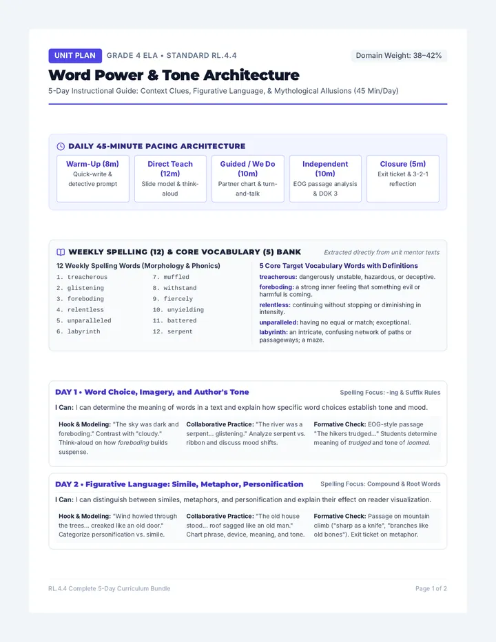
Word Power Lesson Plan

Fourth Grade Core Units

Fourth-grade standards-aligned instructional sequence featuring integrated English Language Arts literary analysis and North Carolina regional geography and historical development.

DG

Debra Golden

11
Disaster Zones Slides

Planet Earth Systems

An exploration of Earth's dynamic physical and ecological systems in 9th-grade World Geography. This sequence covers natural hazard dynamics followed by an interactive study of global biomes, their geographical importance, and ecological distributions.

JD

Jaiden Dawn Kennedy

23
Spartan Stand Teacher Guide

Spartan Stand

A two-day exploration of the Battle of Thermopylae, focusing on strategic geography, historical context, and the concept of valor through evidence-based analysis and targeted vocabulary acquisition.

S

scortese

6
Global Grid Student Handbook

Power of Position

A 4-day introductory world history sequence exploring how geographic location, natural barriers, and famous trade routes shaped the rise, wealth, and power of global empires.

AG

Amina Gueye

14