A unit on the American Civil War era and the movements that led to change, focusing on the people and ideas that shaped history.
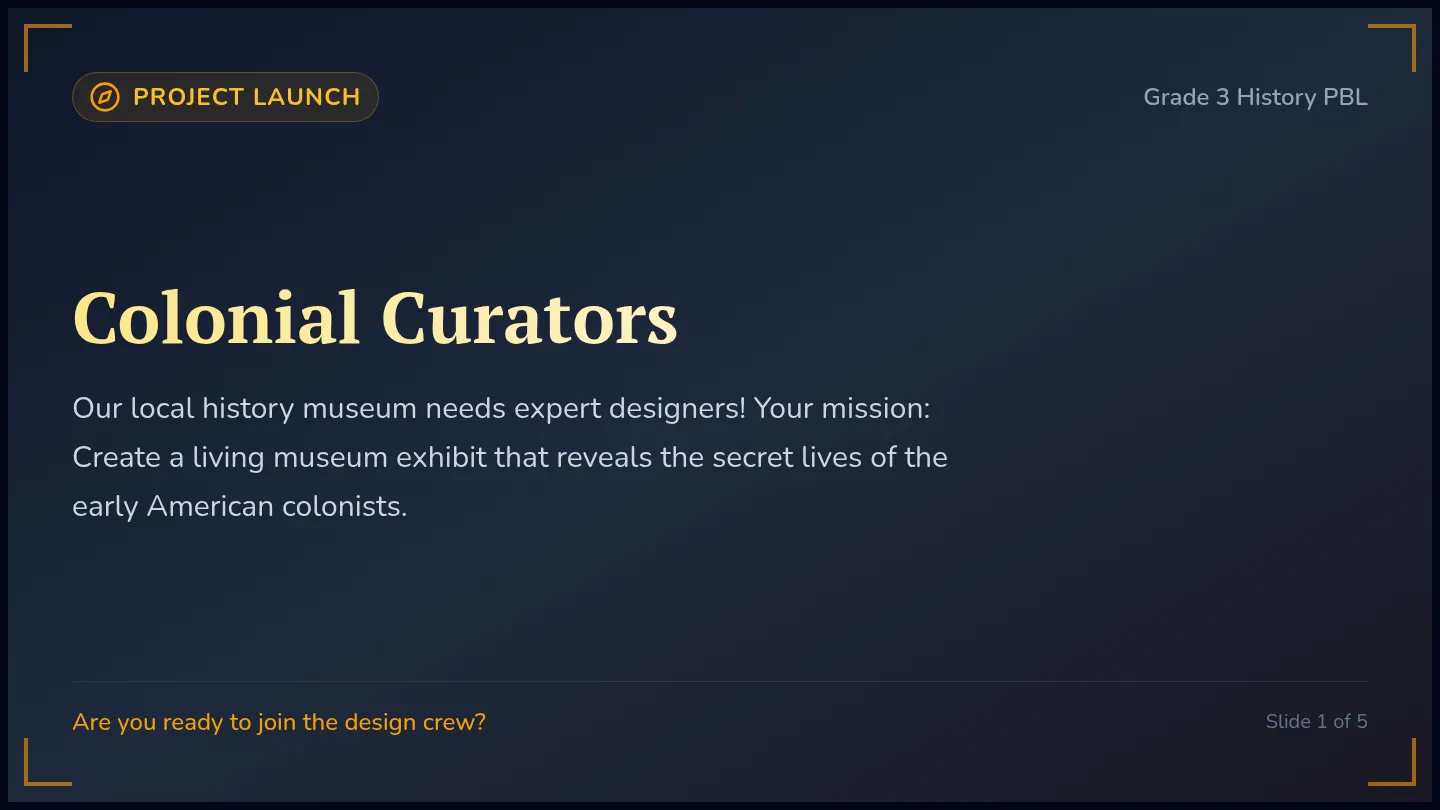
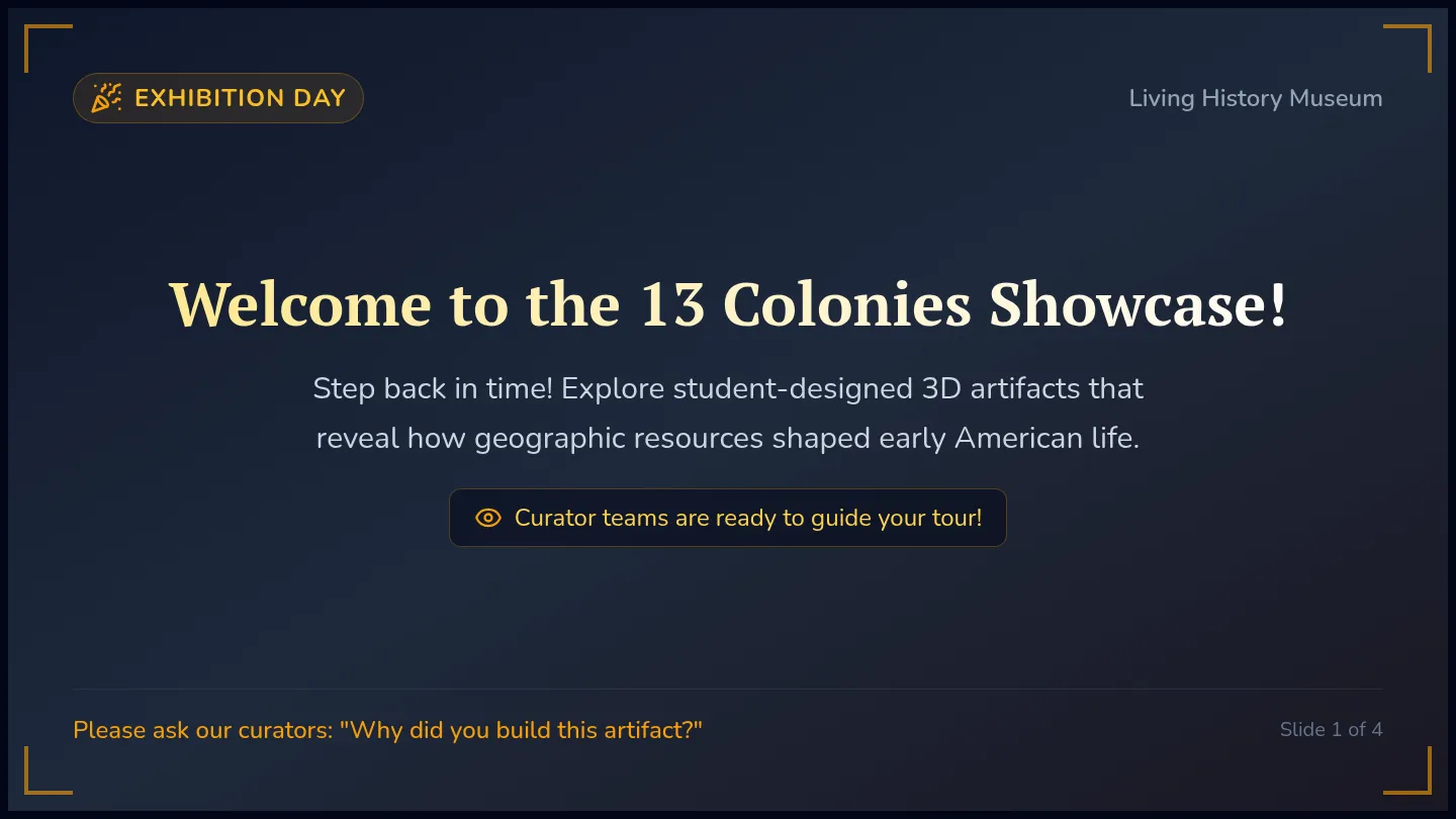
An immersive 3rd-grade Project-Based Learning unit where students act as museum curators to design and exhibit a living history museum, answering the driving question: How did where colonist lived shape how they lived?
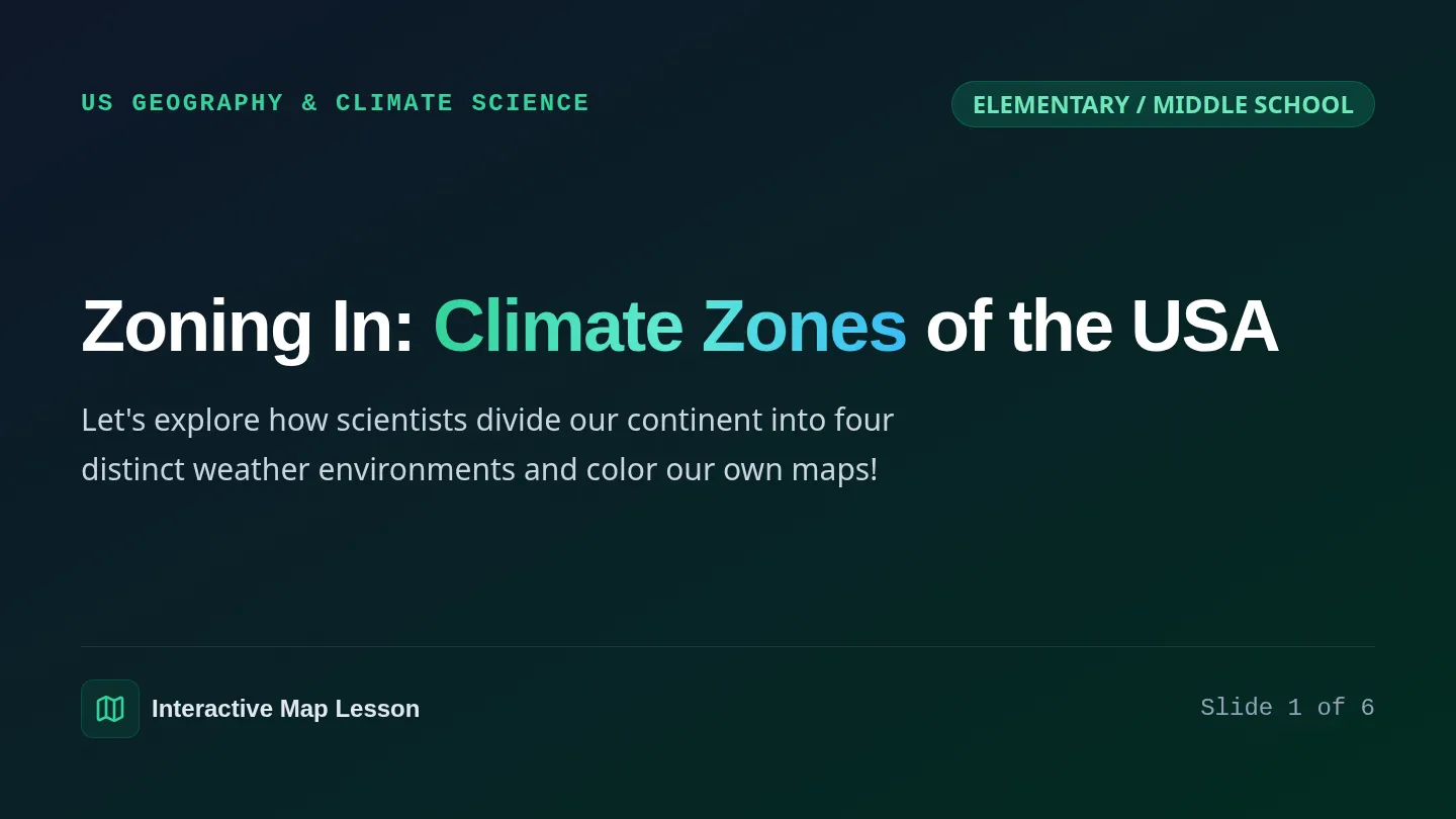
A dynamic geography and science lesson where students explore the four primary climate zones of the United States through an interactive slide deck and a map-coloring activity.
A dynamic slide presentation guiding students through the four primary climate zones of the United States with visual descriptions, geographic markers, and activity cues.
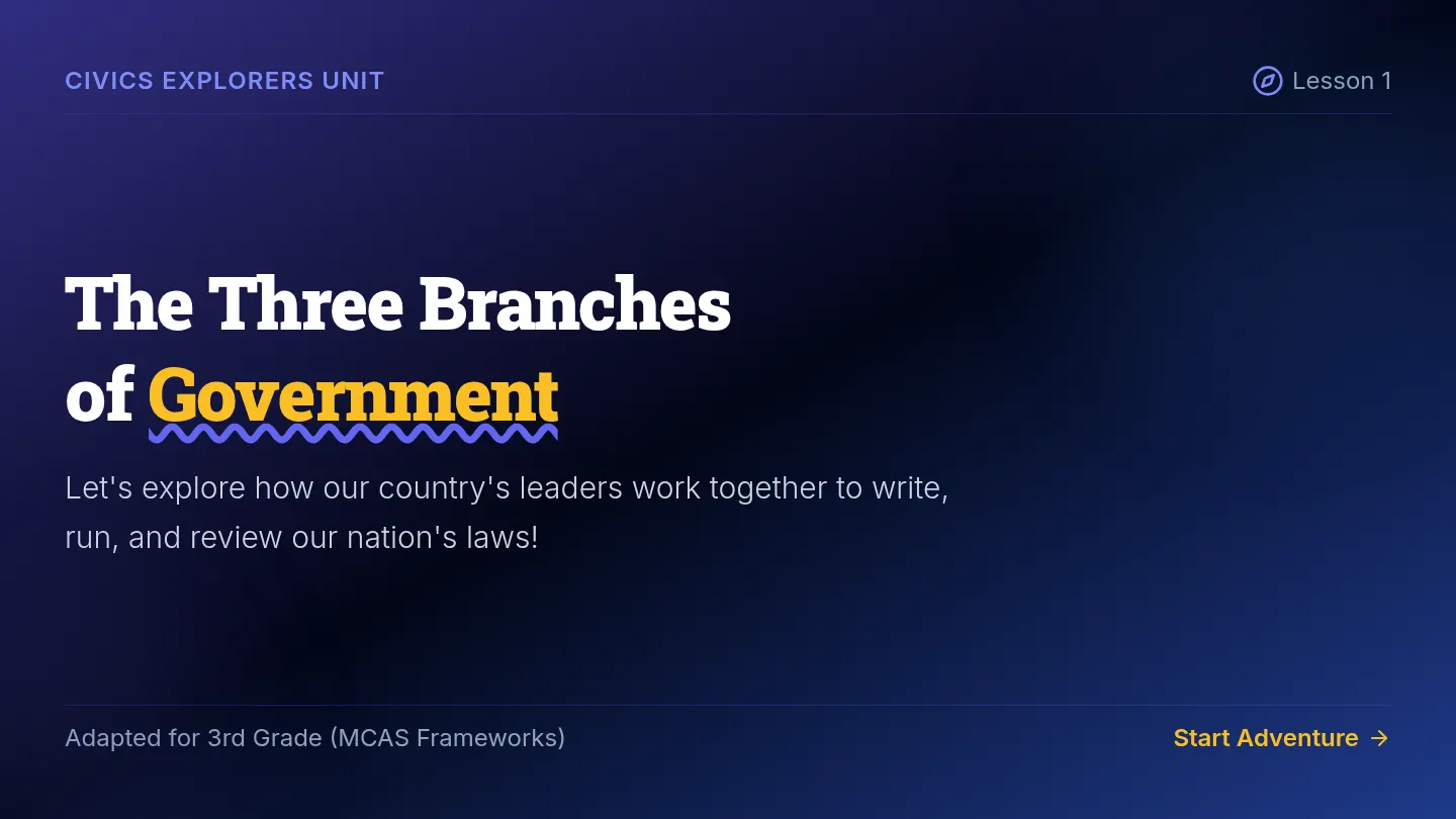
An adapted social studies unit combining middle school MCAS Geography and Civics frameworks with supportive, highly visual 3rd-grade level learning materials. Includes simplified reading passages, interactive slides, scaffolded worksheets, and modified assessments.
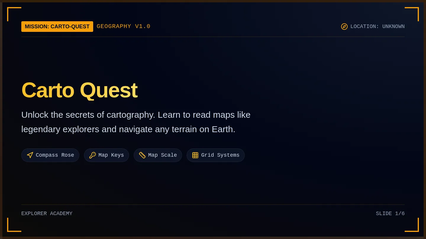
An immersive introduction to essential map skills for fifth-grade students. This lesson covers key map elements including the compass rose, map scale, map keys/legends, and coordinate grid systems, turning students into active cartographers.
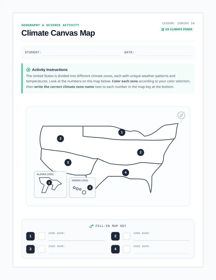
A beautifully styled student worksheet featuring a blank outline map of the United States divided and numbered into four distinct climate zones, complete with a fill-in coloring key.
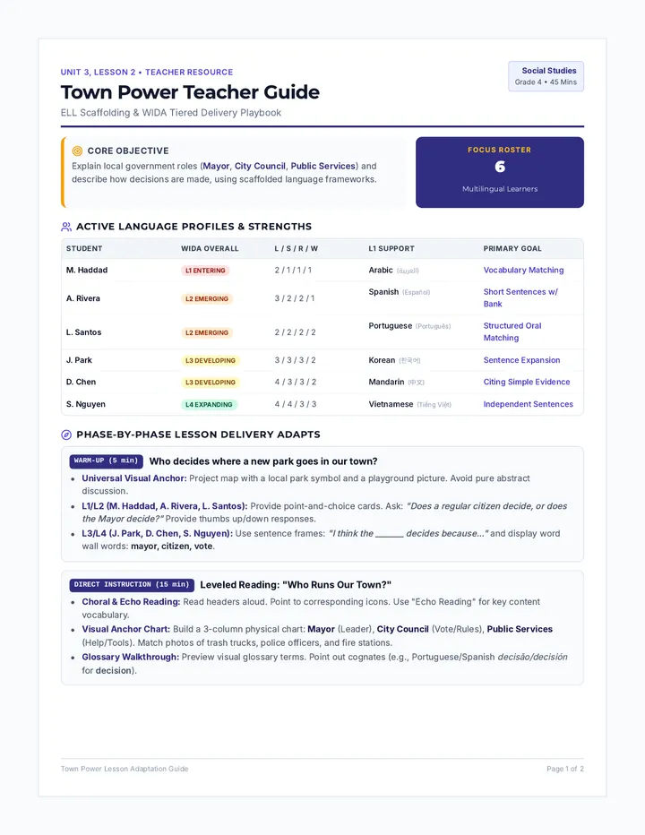
A social studies sequence focused on local civic structures, leadership, and community public services. This unit helps students connect the roles of local government to their daily experiences through highly visual, interactive, and language-scaffolded activities.
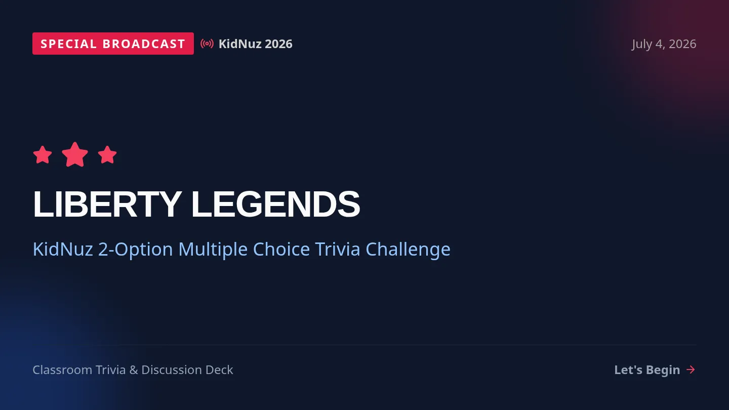
An interactive, inquiry-driven lesson centered around the 250th anniversary of the United States. Students explore direct-recall historical facts from a KidNuz broadcast, engaging in visual trivia, transcript analysis, and literal comprehension checks.
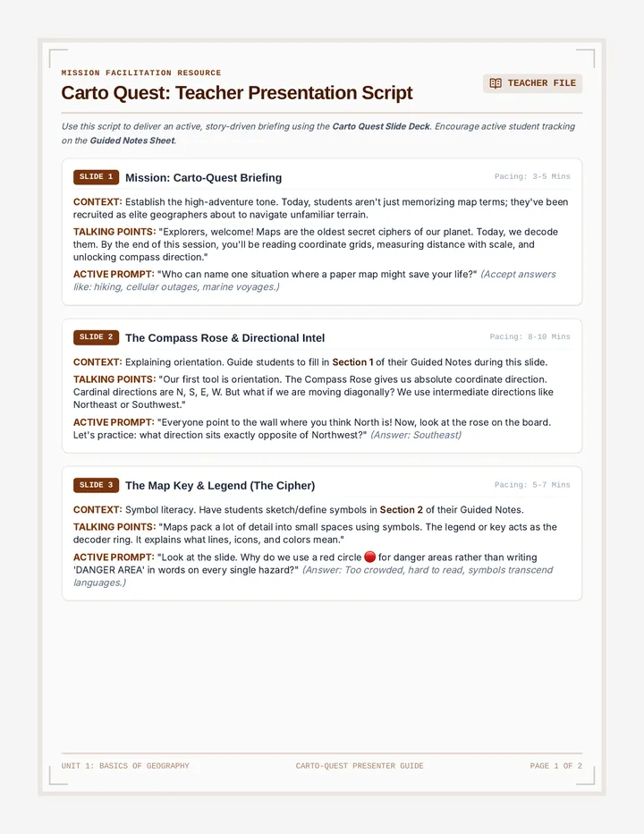
A comprehensive presentation guide for teachers, mapping out each slide with clear talking points, student prompts, and key insights.
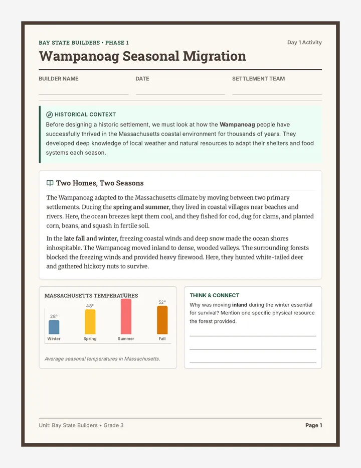
An 8-day interdisciplinary project where 3rd-grade students design a sustainable historical Massachusetts settlement. Integrating math, ELA, science, and social studies, students apply area, perimeter, fractions, weather science, Wampanoag adaptations, and persuasive writing.
Brings the PBL unit to a climax with a student-led living history museum exhibit, peer feedback, and reflective self-assessments.
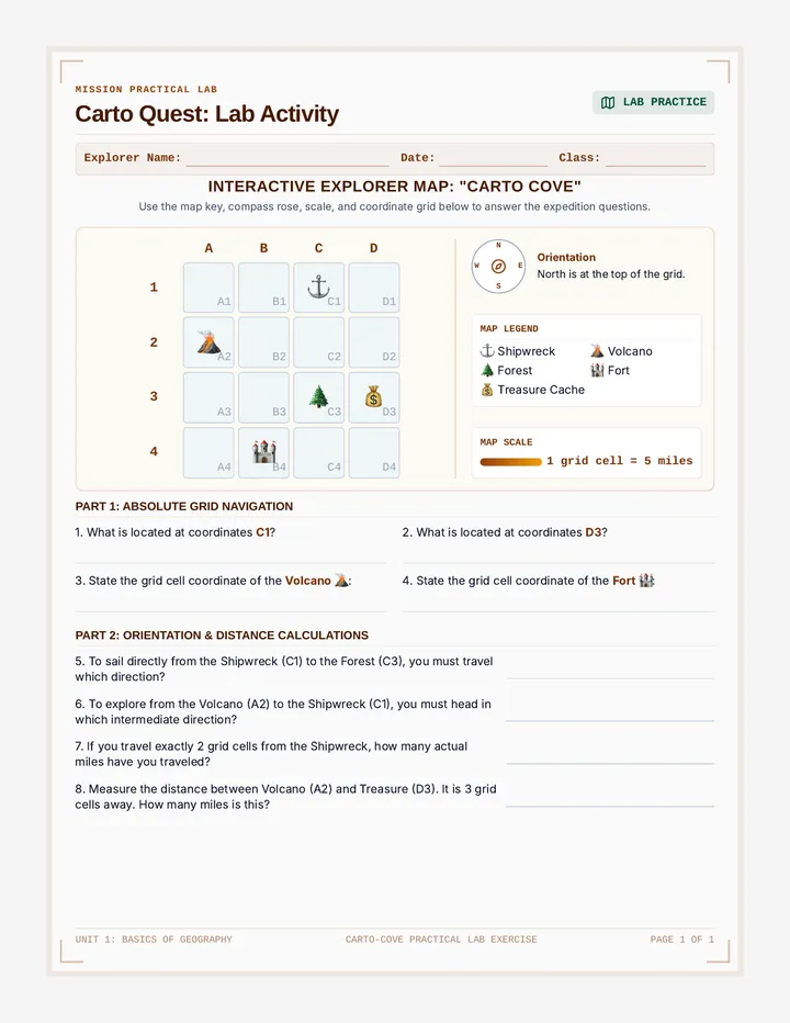
A hands-on printout where students label map parts, read coordinates, and calculate distance on a simulated explorer island map.