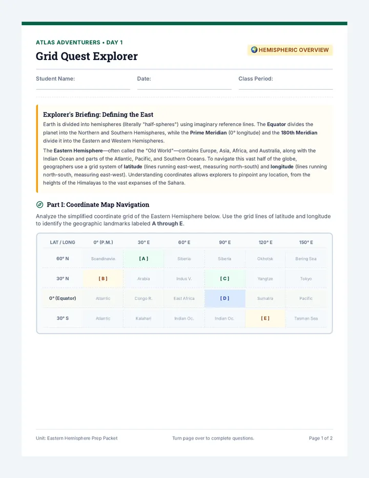
LATITUDE & LONGITUDE SCHEMATIC (NORTHERN & WESTERN HEMISPHERES)
60° N60° N
30° N30° N
0° (EQUATOR)0° (EQUATOR)
120° W120° W
60° W60° W
0° (PRIME MERIDIAN)0° (PRIME MERIDIAN)
A
B
C
D
1. Find Point A:
2. Find Point B:
3. Find Point C:
4. Find Point D:
NC SOCIAL STUDIES STANDARDS ACCREDITED UNIT ATLAS ACADEMY WORKSHEET PACK
ATLAS ACADEMY
LESSON 1 • PAGE 3
Defining Location
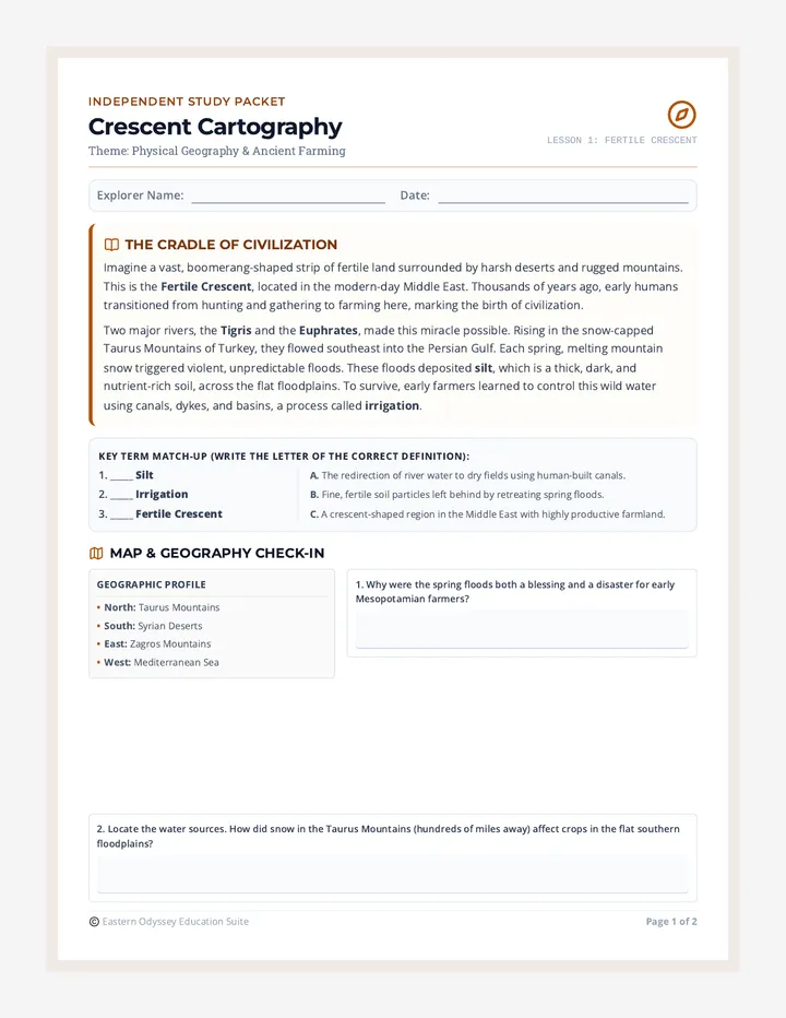
How do we describe location? There are two primary options: Absolute Location (coordinates or street address) and Relative Location (describing positions relative to another landmark using direction, time, or physical proximity).
Read each description below. Write A for Absolute Location or R for Relative Location in the left column.
| Style | Geographic Description Scenario |
|---|---|
| "The pyramids of Giza are located roughly 15 miles southwest of central Cairo along the Nile." | |
| "Rome, Italy is situated at exactly 41.9028° N latitude and 12.4964° E longitude." | |
| "My house is located at 1428 Maple Ridge Lane, Charlotte, NC 28205." | |
| "Antarctica sits south of the Southern Ocean, surrounded entirely by frozen seas." |
1. Write down a relative location description explaining how to walk from your current classroom to your school's cafeteria, main office, or library. Use landmarks, estimated distances, and directions.
2. Critical Challenge: Explain a specific situation where using a globe is more beneficial than a flat paper map, and vice-versa. (EQ 8)
NC SOCIAL STUDIES STANDARDS ACCREDITED UNIT ATLAS ACADEMY WORKSHEET PACK
"The relative location of Carthage was 'south of Sicily across the Mediterranean'."
UNIT FLASHCARD MAKER TOOL ATLAS ACADEMY WORKSHEET PACK
ATLAS ACADEMY
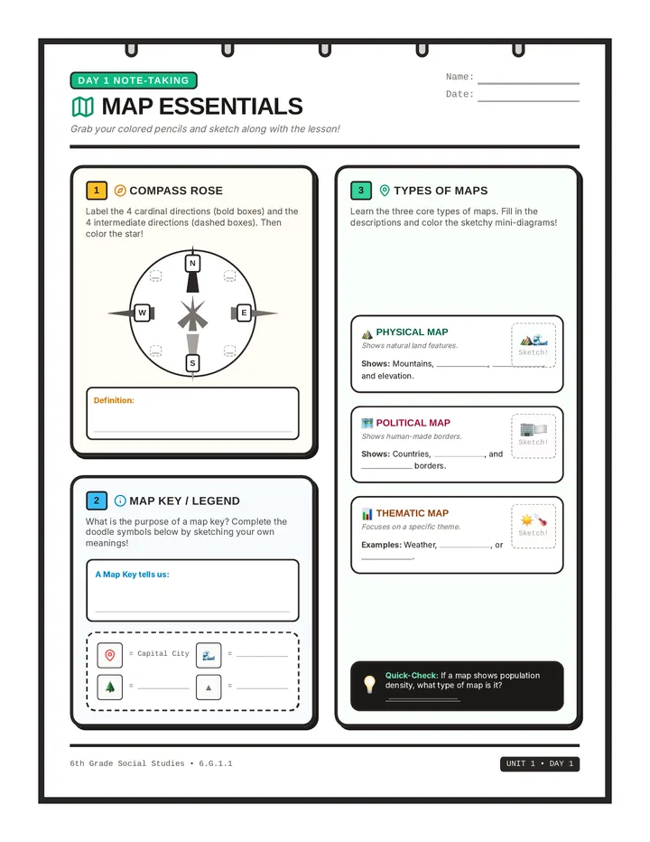
SET B • FRONTS
Cards 7-12
Teacher Instructions: Print double-sided along the short edge, or cut out and fold to combine the front terms with back definitions.
07 / ATLAS ACADEMY
SCISSOR CUT OUT • FOLD
08 / ATLAS ACADEMY
SCISSOR CUT OUT • FOLD
09 / ATLAS ACADEMY
SCISSOR CUT OUT • FOLD
10 / ATLAS ACADEMY
SCISSOR CUT OUT • FOLD
11 / ATLAS ACADEMY
SCISSOR CUT OUT • FOLD
12 / ATLAS ACADEMY
SCISSOR CUT OUT • FOLD
UNIT FLASHCARD MAKER TOOL ATLAS ACADEMY WORKSHEET PACK
ATLAS ACADEMY
SET B • DEFINITIONS
Cards 7-12
Note: These match the positions of the card fronts when cut out or aligned.
The unique, exact point where a place sits on Earth's surface, designated by GPS coordinates or exact street addresses.
"The coordinate 30° N, 31° E is the absolute location of Cairo."
A map designed primarily to show natural landscapes and physical features, like elevation, mountains, rivers, and deserts.
"The hiking team consulted a physical map to find the gentlest trail pass."
A map designed to display human-built borders, country lines, national territories, state divisions, capital cities, and towns.
"National borders are highlighted in bold colors on this political map."
A map constructed to focus on showing spatial data patterns about a single specific theme (e.g., population or natural resources).
"We used a thematic map of ancient trade networks to locate silver mines."
The essential explanatory guide box on a map that translates what each color, line pattern, and icon symbol represents.
"Without the map key, we couldn't tell what the dotted lines meant."
A decorative and functional directional pointer printed on maps showing cardinal (N, S, E, W) and intermediate direction vectors.
"We aligned the map with the sunrise using the compass rose."
UNIT FLASHCARD MAKER TOOL ATLAS ACADEMY WORKSHEET PACK
River Rapids
Trading Port
1. If a merchant travels directly from a to a , they are going from a to a .
2. Why must map designers use simplified symbols instead of drawing actual pictures of objects?
NC SOCIAL STUDIES STANDARDS ACCREDITED UNIT ATLAS ACADEMY WORKSHEET PACK
ATLAS ACADEMY
LESSON 2 • PAGE 3
Map Varieties
Not all maps show the same information. Physical maps illustrate the raw features of nature like elevation and landforms. Political maps illustrate human systems like state boundaries, national territories, and capital locations. Thematic maps focus on specialized single topics (e.g., population distribution, gold mines, weather).
Read each student explorer scenario below. Decide which of the three map types (Physical, Political, or Thematic) is the most beneficial.
| Map Choice | Explorer / Scholar Investigative Goal |
|---|---|
| "I want to track the density and migration patterns of desert locusts affecting crops across ancient Mesopotamia." | |
| "Our platoon must cross the rugged Zagros mountain range and needs to find the pass with the lowest altitude." | |
| "A legal diplomat needs to check the exact border line that splits Egypt and Sudan to settle a land taxation treaty." | |
| "An economist is comparing the coal reserves and iron ore deposits of different regions in the continent." |
Question: Why can a flat world map never be 100% accurate regarding the size and shapes of landmasses? Connect your answer to the geometry of globes and flat planes.
NC SOCIAL STUDIES STANDARDS ACCREDITED UNIT ATLAS ACADEMY WORKSHEET PACK
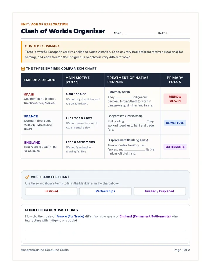
compass rose : A directional tool printed on maps showing cardinal and intermediate points.
equator : The horizontal line at 0° latitude wrapping around the exact center of Earth.
absolute location : Describing location using exact coordinates or a global grid intersection.
thematic map : A specialized map highlighting a single topic, like rainfall or trade routes.
"I show elevation, mountains, and low valleys..."
ANSWER: physical map
"I don't need numbers to guide you home..."
ANSWER: relative location
"I am the code breaker..."
ANSWER: map key
"I run horizontally like ladder rungs..."
ANSWER: latitude
"We are studying the regional (1) geography to chart our course. Our navigator consulted the (2) political map to verify the sovereign borders of the Egyptian empire, but we also needed a (3) physical map to navigate the dangerous rapids of the Nile cataracts. To direct the oarsmen, we set our alignment with the help of the (4) compass rose, which pointed our bow directly North-East. By crossing the (5) equator at 0° latitude, the heat has become intense as we head towards the Southern hemisphere."
Pedagogy Tip: Have students practice matching the physical geography features of Mesopotamia (e.g. marshes) on thematic maps.
TEACHER ANSWER KEY • CLASSROOM ONLY ATLAS ACADEMY FACILITATION FILES
1. Why did the Phoenicians become seafaring traders rather than traditional grain-surplus farmers? Reference their physical environmental constraints.
2. How does Egypt's agricultural surplus demonstrate standard economic specialization? How did environmental factors lead to trade choices?
3. Synthesize: What is one negative risk of a civilization specializing in trading a single resource (like timber) instead of being food self-sufficient?
NC SOCIAL STUDIES STANDARDS ACCREDITED UNIT • 6.E.1.1 ATLAS ACADEMY WORKSHEET PACK
ATLAS ACADEMY
LESSON 3 • PAGE 3
Government & Beliefs
STANDARD 6.C&G.1.6 (GOVERNMENT) STANDARD 6.B.1.1 (CULTURE)
Does nature shape how rulers govern or how citizens pray? In ancient river valleys, unpredictable floods required massive, cooperative construction efforts. To survive, societies established strict laws, central tax bureaucracies, and deep myths linked directly to river patterns.
The Flow: Predictable, gentle annual flooding in Autumn.
The Government: Highly centralized empire ruled by a single pharaoh, who was viewed as a physical god. The state managed irrigation canals peacefully.
The Culture & Myth: Egypt developed a positive religion. The gods were considered kind and reliable; the afterlife was a peaceful continuation of earthly farm life.
The Flow: Unpredictable, violent flooding that destroyed clay homes.
The Government: Independent, competing city-states. Wars erupted over water upstream. Hammurabi's Code used strict eye-for-an-eye laws to force cooperation.
The Culture & Myth: Mesopotamians developed a fearful religion. Gods were capricious, moody, and easily angered; their afterlife was described as a dark, dusty underworld of clay.
1. Why did Mesopotamian cities develop strict legal systems like Hammurabi's Code to govern water rights, whereas Egyptian Nile societies developed peaceful, central pharaonic irrigation structures?
2. Connect the physical behavior of the Tigris and Euphrates rivers directly to the gloomy, fearful mythology developed by the Mesopotamian civilizations (6.B.1.1).
NC SOCIAL STUDIES STANDARDS ACCREDITED UNIT • 6.C&G.1.6 ATLAS ACADEMY WORKSHEET PACK
ATLAS ACADEMY
UNIT ASSESSMENT
Synthesis Practice
Choose the best answer for each question. All answer options must be formatted identically.
1. Which imaginary line divides the earth into the Eastern and Western hemispheres?
A. The Equator B. The Prime Meridian C. The Latitude lines D. The Compass Rose
2. If a map shows coal distribution, railroad networks, and iron reserves, what type of map is it?
A. A physical map B. A political map C. A thematic map D. A relative map
3. Which theme of geography describes the movement of culture, people, and trade goods?
A. Human-Environment Interaction B. Absolute Location C. Thematic Region D. Movement
Promptive Question: In what ways does geography influence the way people live, work, and organize power structures? Formulate a brief, paragraph-length thesis using at least three vocabulary terms from our unit (e.g., resources, physical map, absolute location, etc.).
NC SOCIAL STUDIES STANDARDS ACCREDITED UNIT • SUMMARY EXAM ATLAS ACADEMY WORKSHEET PACK
L • LOCATION EXEMPLAR
Sketch: A target crosshair and a directional compass rose pointer.
Description: "Absolute: 41° N, 12° E. Relative: Next to the bank, south of the mountain range."
P • PLACE EXEMPLAR
Sketch: A volcano mountain on one side, and a temple columns building on the other.
Description: "Physical: Rocky soil, volcanic cliffs. Human: Speaking Latin, building stone arenas."
• **10 pts**: All 5 frames resolved
• **5 pts**: Creative color added
• **5 pts**: High-quality sketches
TEACHER ANSWER KEY • CLASSROOM ONLY ATLAS ACADEMY FACILITATION FILES