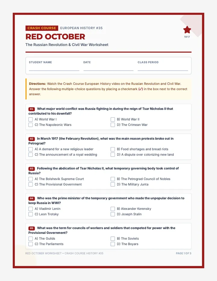
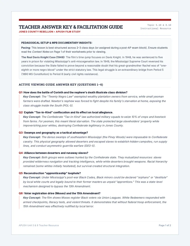
Students map the tectonic plate boundaries along the Pacific coast of the Americas to understand earthquake and volcanic risks. They analyze building codes and disaster response systems in Chile and the USA to evaluate how nations manage geological risk.