An investigation into the 1814 British invasion of Washington D.C., focusing on the sequence of events, the tactical movements of British forces, and the symbolic impact of the capital's destruction.
A premium comparative inquiry bundle exploring the foundational 'Big Four' ancient river valley civilizations (Mesopotamia, Egypt, Indus Valley, and Ancient China). Designed with high-quality primary sources, structured guided notes, and analytical rubrics to foster deep historical investigation.
A lesson exploring the four major River Valley Civilizations (Mesopotamia, Ancient Egypt, Indus Valley, and Ancient China) through illustrated flashcards, active classroom games, and a conceptual study worksheet.
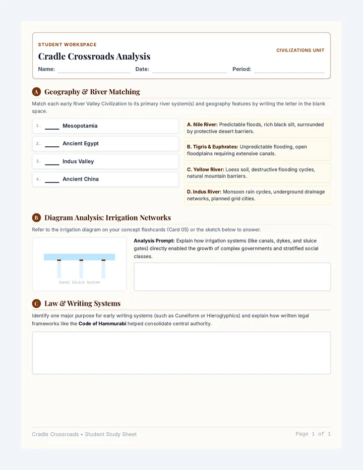
A conceptual matching and structured analysis worksheet for students to consolidate physical, social, and technological structures of early River Valley Civilizations.
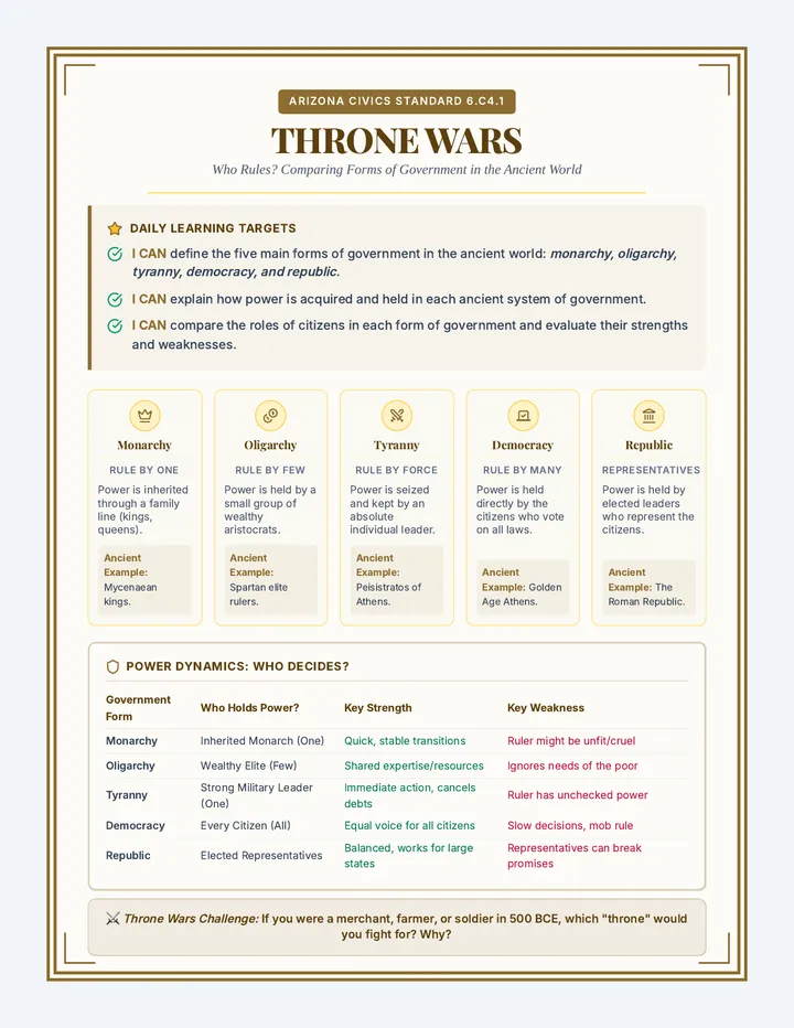
A comprehensive 6th-grade social studies unit exploring the trajectory of human history, from nomadic hunter-gatherers and the cognitive evolution of early humans, to the agricultural revolution, and finally the development of structured ancient governments.
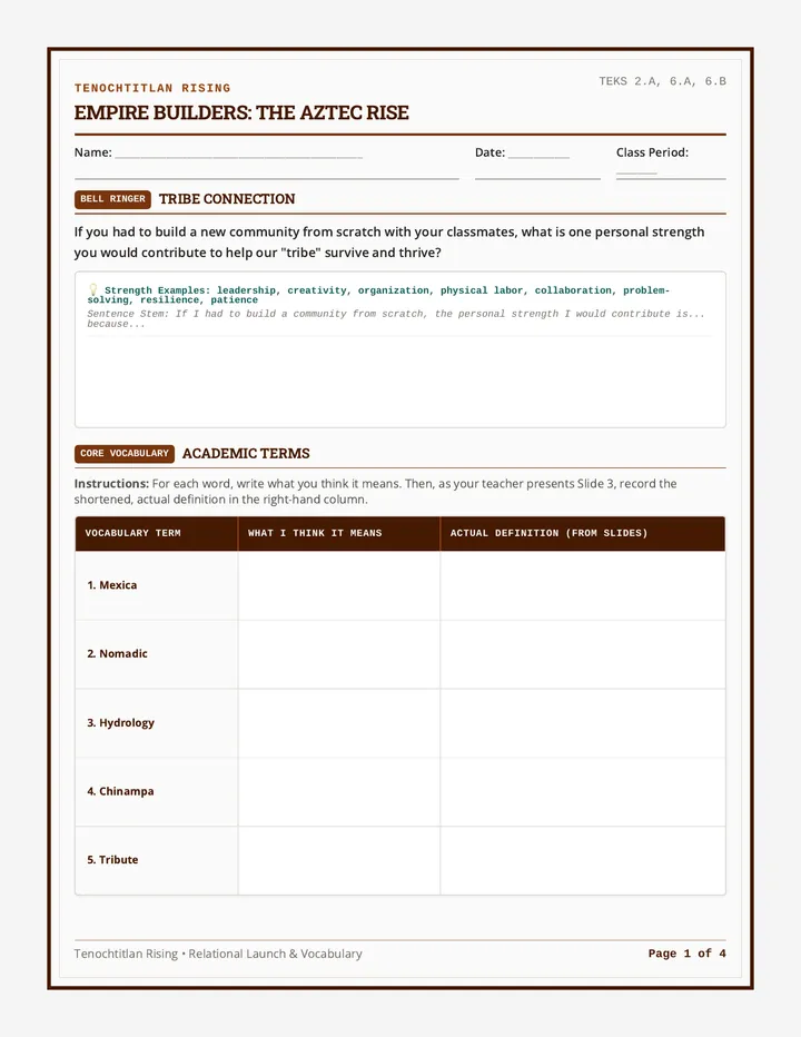
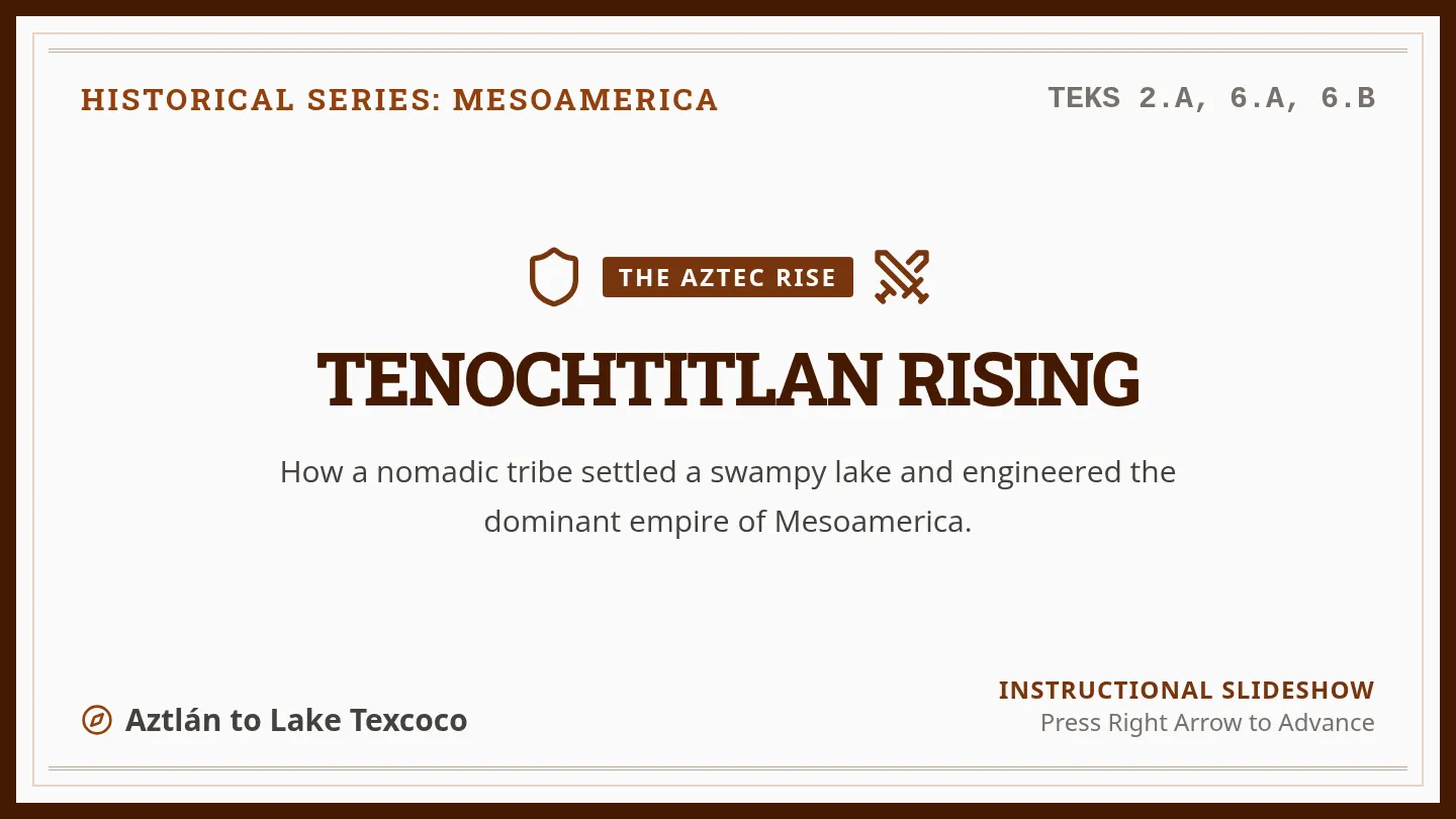
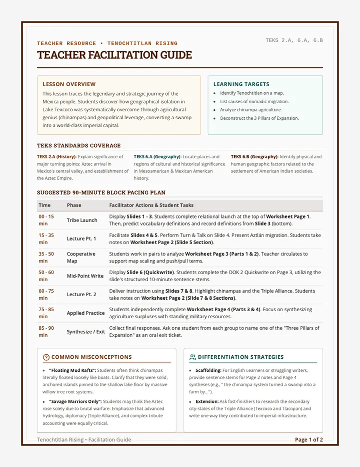
A comprehensive lesson exploring how the Mexica migrated from Aztlán, settled in the Valley of Mexico, and leveraged geography, agriculture, and military strategies to build the Aztec Empire. This lesson includes interactive presentation slides, a graphic organizer worksheet for student analysis, and a detailed teacher facilitation guide.
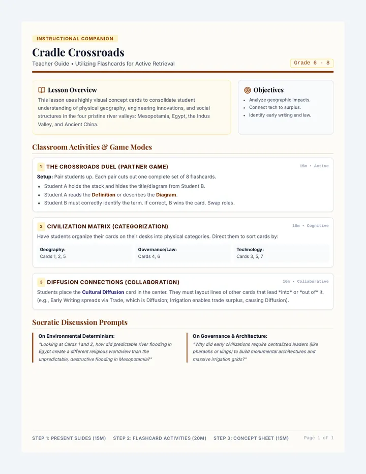
A comprehensive instructional guide for teachers outlining creative classroom games, pacing, retrieval practice activities, and discussion prompts using the Cradle Crossroads Flashcards.
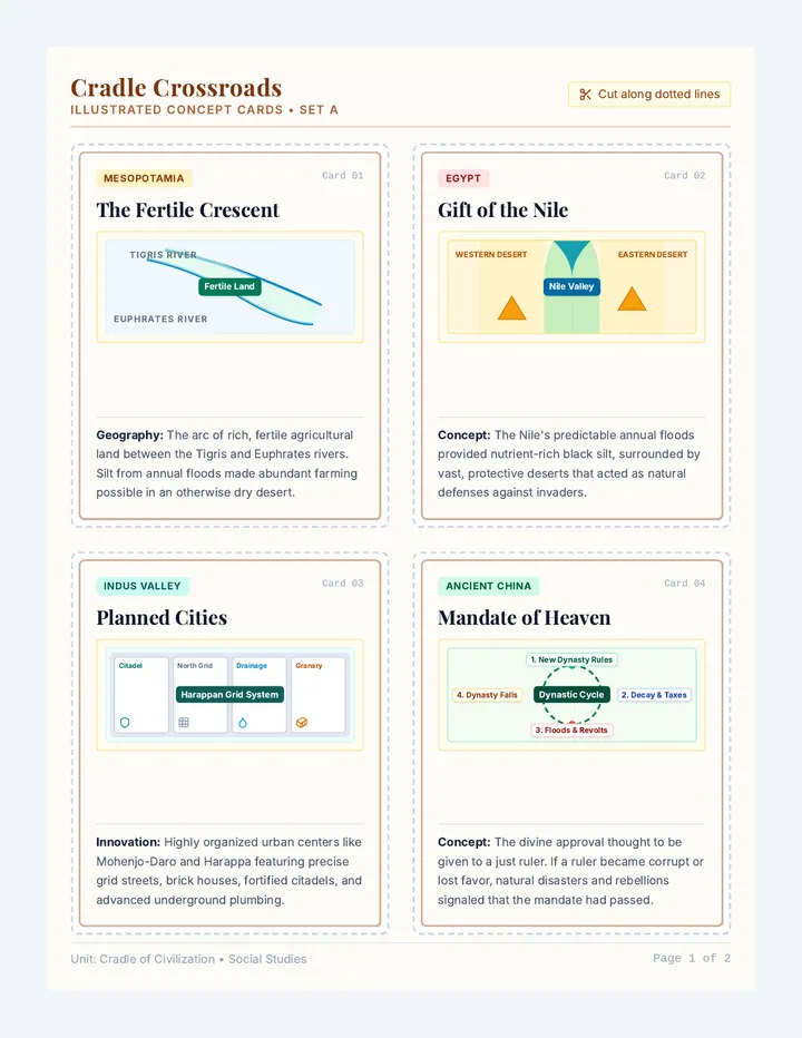
A set of 8 premium printable illustrated flashcards highlighting key concepts, maps, and structures of the ancient river valley civilizations. Designed with scissor cutlines and clear educational diagrams.