Lenny.com
Explore
Create
ActivitiesNewMathEnglish Language ArtsScience & EngineeringSocial StudiesGlobal LanguagesHealth & Physical EducationSpecial EducationCounseling & Life SkillsArts & CreativityESL
Lenny.com
Lenny.com
Explore
Create
ActivitiesNewMathEnglish Language ArtsScience & EngineeringSocial StudiesGlobal LanguagesHealth & Physical EducationSpecial EducationCounseling & Life SkillsArts & CreativityESL
Lenny.com
Lenny.com

Solutions

Lenny for EducatorsLenny for SchoolsLenny for Districts

Product

ExploreSign inCreateSupportAbout

Resources

Getting startedMTSS Acceleration Program

© 2026 Lenny Learning Inc.

TermsPrivacyAccessibility
LinkedInInstagramX
Lenny

Regions of the United States

Distinct physical features, climates, and natural resources across the Northeast, Southeast, Midwest, Southwest, and West. Examines how geographic characteristics shape regional economies, cultures, and human-environment interactions.

Social StudiesSocial Studies PracticesLocation WordsMapsOrder EventsChronology and CausationEvaluating SourcesHistorical ThinkingGeography, Humans, & the EnvironmentAmerican Symbols and LandmarksCitiesStatesState CapitalsRegions of the United StatesGeographic SkillsPhysical GeographyHuman GeographyRegional GeographyGeography of AfricaGeography of AsiaGeography of EuropeGeography of OceaniaGeography of the AmericasSociety and Environment of EuropeSociety and Environment of AsiaSociety and Environment of The AmericasSociety and Environment of the Middle EastSociety and Environment of AfricaHistoryPrehistoryComparing Ancient River CivilizationsAncient MesopotamiaAncient Egypt and KushAncient South AsiaEarly ChinaGreeceRome and the Byzantine EmpireAncient World HistoryNative Peoples of North AmericaNative Peoples of Mesoamerica and South AmericaAfrican EmpiresMedieval AsiaMedieval EuropeThe Silk RoadMedieval HistoryIslamic EmpiresWorld ReligionsRenaissance PeriodAge of ExplorationThe Thirteen ColoniesThe American RevolutionUS History Early RepublicFounding of the United StatesUS History AntebellumUS Civil WarReconstruction PeriodThe Gilded AgeUS ImperialismWorld ImperialismWorld War IUS History 1920sGreat DepressionWorld War IIThe Cold WarUS History 1950-60sUS History 1960s-70sWorld History 20th CenturyContemporary US HistoryContemporary World HistoryHolidaysCivics and GovernmentCitizenshipGovernment FoundationsThe ConstitutionUS ConstitutionExecutive BranchLegislative BranchJudicial BranchState and LocalPolitical ParticipationPublic PolicyPolitical SystemsPower and AuthoritySocial MovementsDefining DevianceTheories of DevianceCrime and Criminal JusticeEconomicsBasic Economic PrinciplesSupply and DemandWhat is MoneyEconomic FundamentalsMicroeconomicsMacroeconomicsBanking and FinanceEconomic SystemsGlobal EconomicsCorporations and PowerThe Changing WorkplaceUnemployment and LaborClass and InequalitySocial MobilityGlobal InequalityPsychologyHistory of PsychologyPsychology as a ScienceBrain and Nervous SystemNeuroscience and BehaviorGenetics and BehaviorSleep and ConsciousnessSensory ProcessesPerceptual OrganizationClassical ConditioningOperant ConditioningObservational LearningCognitive LearningMemory ProcessesThinking and Problem SolvingLanguage and CognitionTheories of MotivationStress and CopingPrenatal and Infant DevelopmentChildhood DevelopmentAdolescent DevelopmentAdulthood and AgingSelf and IdentitySocial CognitionSocial InfluenceAttraction and RelationshipsGroup BehaviorPrejudice and DiscriminationAnxiety and Mood DisordersClinical PsychologyForensic PsychologyPhilosophy & EthicsIntroduction to PhilosophyMajor Philosophers & IdeasMind and Body ProblemFree Will vs DeterminismEthics & MoralityReligion & PhilosophyPolitical Philosophy

Videos

A Virtual Field Trip to Yellowstone National Park

A Virtual Field Trip to Yellowstone National Park

Take students on an immersive virtual field trip to Yellowstone, the world's first national park. This video provides a comprehensive overview of the park's history, geography, and stunning natural features, explaining that it was established by the US Congress in 1872 and spans across Wyoming, Montana, and Idaho. The narration effectively situates the park geographically while highlighting its immense size of nearly 9,000 square kilometers.

Next Generation ScienceNext Generation Science

2mins 42s

Using Maps to Understand Life in the Western US

Using Maps to Understand Life in the Western US

This educational video takes students on a virtual road trip to the Western United States to master advanced map-reading skills. Hosted by a narrator named Justin, the lesson moves beyond simply identifying locations to teaching critical thinking skills: drawing conclusions and making inferences. The video explicitly distinguishes between these two concepts, defining drawing conclusions as forming ideas based on presented information, and making inferences as combining that information with prior knowledge to guess details not directly shown.

Miacademy & MiaPrep Learning ChannelMiacademy & MiaPrep Learning Channel

8mins 30s

How the Oregon Trail and Treaties Shaped the American West

How the Oregon Trail and Treaties Shaped the American West

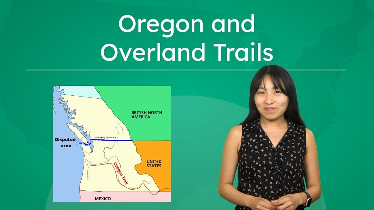
This educational video explores the history of United States expansion into the Oregon Country and the development of major overland trails during the mid-19th century. It details the progression from early exploration by Lewis and Clark to the economic activities of fur traders and mountain men, which paved the way for mass migration. The narrative explains the geopolitical tensions between the United States and Great Britain, culminating in the Oregon Treaty of 1846 which established the 49th parallel boundary. The video highlights the economic motivations behind westward expansion, specifically the lucrative beaver fur trade initiated by John Jacob Astor and the eventual allure of gold. It breaks down the specific routes travelers took—including the Oregon, California, Santa Fe, and Mormon trails—and connects these pathways to modern settlement patterns in the American West. Key historical figures like James K. Polk and his campaign slogan "54-40 or Fight" are discussed in the context of international diplomacy. Teachers can use this video to illustrate the concept of Manifest Destiny and the practical mechanics of how the American map was drawn. It provides excellent opportunities to discuss the intersection of economics, geography, and politics. The content is well-suited for explaining why specific cities like Salt Lake City and San Francisco developed where they did, and how natural geography and early trade routes shaped the political boundaries of the United States.

Miacademy & MiaPrep Learning ChannelMiacademy & MiaPrep Learning Channel

7mins 21s

How Natural Resources and Innovation Built US Wealth

How Natural Resources and Innovation Built US Wealth

This educational video explores the primary factors that contributed to the United States becoming one of the wealthiest and most populous nations in the world. It provides a historical and geographical overview of how the country utilized its vast landscape and innovative spirit to build a global superpower. The narrative structure breaks down this growth into four distinct pillars: natural resources, transportation, communication technology, and the economic system of free enterprise. The video delves into specific historical details, ranging from the crops cultivated by Indigenous peoples (including forgotten plants like goosefoot and sumpweed) to the evolution of American industry from timber and coal to modern renewable energy. It traces the technological timeline from keelboats and steam engines to the internet, illustrating how shrinking travel and communication times accelerated economic growth. Finally, it examines the role of the American political and economic philosophy in fostering a competitive market. For educators, this video serves as an excellent synthesizer of geography, history, and economics. It helps students understand the causal links between physical resources (like rivers and mineral deposits) and human innovation (like canals and telegraphs). It is particularly useful for units on U.S. Geography, the Industrial Revolution, or Introduction to Economics, offering clear visual maps and data points that explain regional specializations within the United States.

Miacademy & MiaPrep Learning ChannelMiacademy & MiaPrep Learning Channel

9mins 27s

Managing and Conserving the Colorado River Watershed

Managing and Conserving the Colorado River Watershed

This educational video provides a comprehensive look at water resource management using the Colorado River watershed as a primary case study. It begins by examining how major cities like Phoenix rely on freshwater for diverse needs ranging from agriculture and manufacturing to domestic use and recreation. The video illustrates the complexity of watersheds, explaining how multiple states and millions of people depend on the same interconnected water system, necessitating careful management and cooperation. The content explores the historical and modern challenges of water conservation, introducing the Colorado River Compact of 1922 which divided the watershed into Upper and Lower Basins to manage allocation. It transitions into current environmental challenges, using data visualization to show how rising temperatures and climate change are accelerating evaporation and causing droughts. The video distinguishes between human overuse and natural depletion, emphasizing that legal frameworks alone are insufficient to protect water supplies in a changing climate. Finally, the video outlines actionable solutions for water conservation across three levels: government regulations, technological innovations (like drip irrigation and desalination), and personal community actions. This resource is highly valuable for environmental science and geography classrooms as it connects abstract concepts like the water cycle to real-world civic issues, encouraging students to analyze data and consider their own role in sustainable resource management.

Miacademy & MiaPrep Learning ChannelMiacademy & MiaPrep Learning Channel

10mins 23s

Exploring the US States and Capitals by Region

Exploring the US States and Capitals by Region

This educational video provides a comprehensive overview of the United States geography, breaking down the country into four major regions: the Northeast, Midwest, South, and West. Hosted by Kylie from Miacademy, the lesson guides viewers through all 50 states, identifying each state's location on the map and its capital city. Beyond simple memorization, the video introduces key geographical concepts such as how regions are defined by shared culture, climate, and history. Throughout the tour, the video highlights significant landmarks and interesting facts to help students retain information. Viewers learn about Mount Washington in the Northeast, the agricultural significance of the Midwest, the cultural musical roots of the South, and the diverse landscapes of the West, from Alaska's mountains to Hawaii's islands. It specifically addresses common points of confusion, such as the difference between Washington state and Washington D.C., and clarifies that New York City is not the capital of New York. This resource is highly valuable for elementary social studies classrooms as a foundational tool for U.S. geography units. Teachers can use it to introduce the concept of regionalism, practice map skills, or as a review tool for state capitals. The clear visual maps and distinct categorization make a large topic manageable, allowing for segmented viewing where classes can focus on one region at a time for deeper study.
Miacademy & MiaPrep Learning ChannelMiacademy & MiaPrep Learning Channel

8mins 2s

Materials

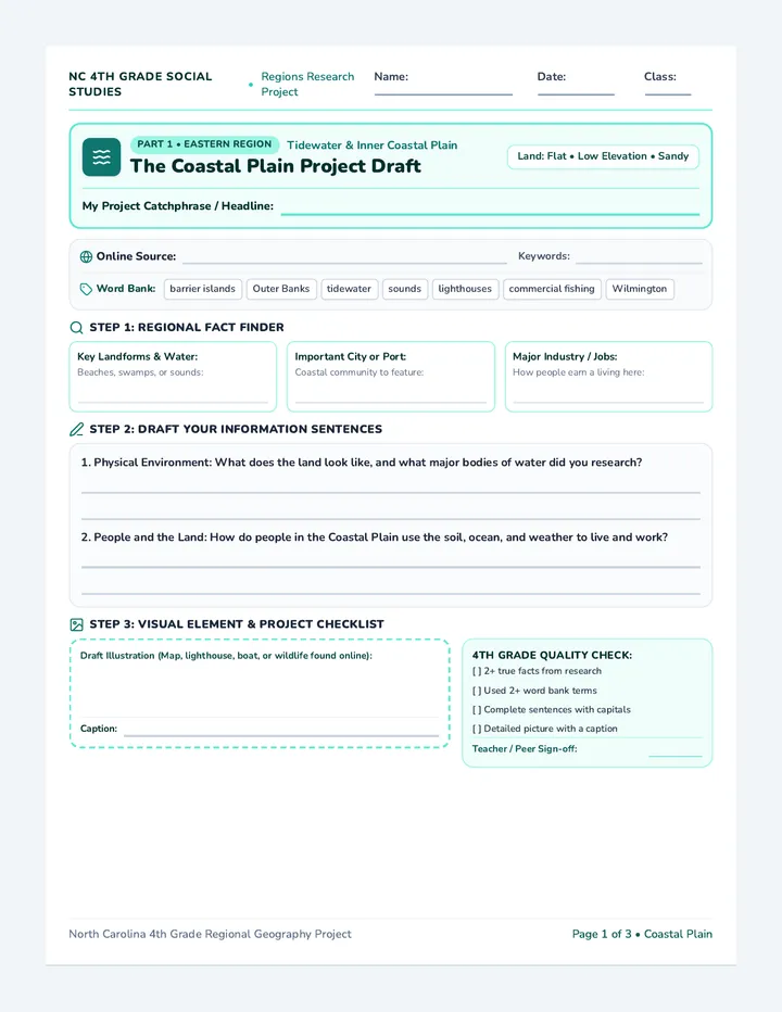
Carolina Regions Draft Sheet

Carolina Regions Draft Sheet

A three-page printable project draft sheet for 4th grade students researching North Carolina's regions. Includes both an online research source tracker and regional academic word banks, structured fast-fact cards, guided drafting lines, an illustration workspace with captions, and a 4th grade quality check.

TG

Tolisha Goldston

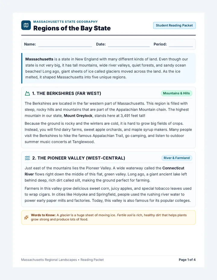
Bay State Regions Worksheet

Bay State Regions Worksheet

An accessible four-page informational reading comprehension packet about Massachusetts regions written at an elementary/early-middle grade reading level. Features clear definitions, friendly explanations, large fonts, multiple-choice questions, clue matching, and spacious short-response writing lines.

C

cfassel

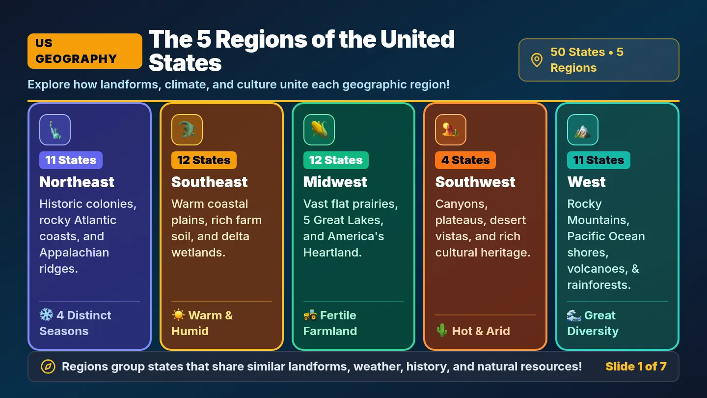
US Five Regions Slides

US Five Regions Slides

A comprehensive 7-slide visual presentation featuring a regional map with labeled pictures for each of the five US regions, followed by in-depth explorations of the Northeast, Southeast, Midwest, Southwest, and West.

ML

Mrs Lindor

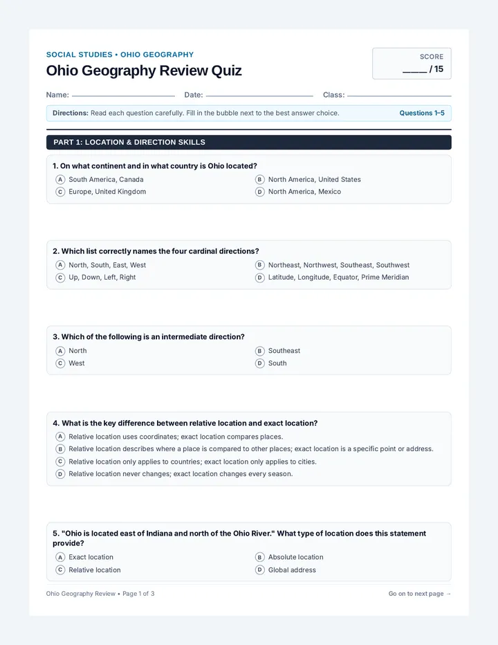
Ohio Geography Review Quiz

Ohio Geography Review Quiz

A comprehensive 15-question multiple-choice quiz reviewing Ohio's location, physical and human features, human-environment interaction, and geographic regions.

KM

Karah McAlister

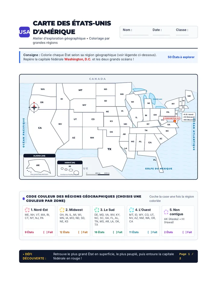
Aventure Américaine Carte à Colorier

Aventure Américaine Carte à Colorier

Une carte d'activité complète et prête à imprimer des 50 États d'Amérique à colorier par régions géographiques. Le document comprend une carte détaillée avec les océans, les pays frontaliers, la rose des vents, une légende thématique et un guide des 50 États avec capitales et défis d'exploration.

CS

Carlos Santos

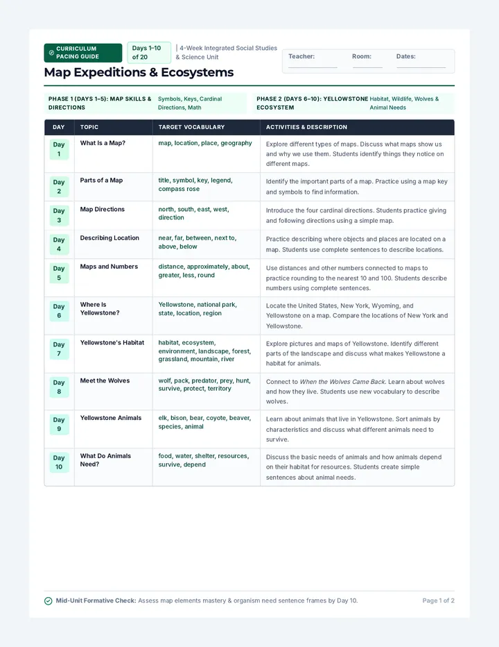
Map Expeditions Pacing Chart

Map Expeditions Pacing Chart

A compact, print-ready 20-day curriculum chart mapping daily topics, target vocabulary, and activity descriptions across map skills, Yellowstone ecology, and New York State geography. Perfectly formatted across two balanced 10-day reference pages with zero overflow.

AB

Abigail Bovee

Sequences

Invention Boom Slides

Modern Era Odyssey

A 13-day journey through modern American history, from the Industrial Revolution to the present day, focusing on key historical figures and major conflicts as outlined in the 5th Grade TEKS. Each lesson is designed for a quick 30-minute block, integrating multimedia and primary source analysis.

CH

Courtney Holdren

49
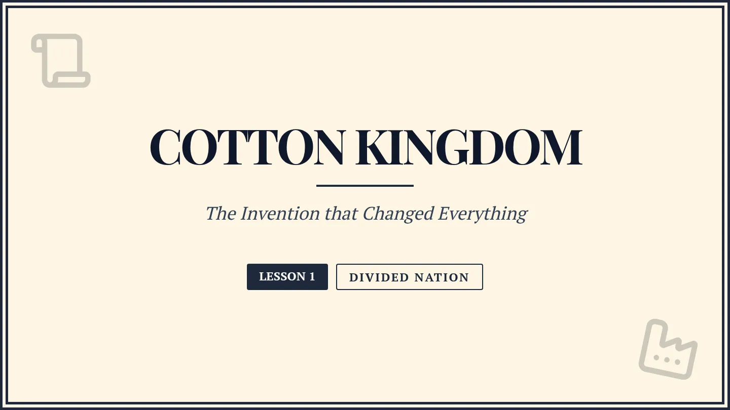
Cotton Kingdom Slides

Divided Nation

A 4-part exploration of the deep-seated tensions and pivotal events that led the United States to the brink of the Civil War, focusing on economic shifts, legislative compromises, and political flashpoints.

IA

Isabella Adkins

9
Peaks and Valleys Teacher Guide

Copper State Chronicles

A 4-day social studies unit for 3rd grade focusing on Arizona's geography, history, and economy, specifically designed to meet standard 3.RI.9 by comparing and contrasting key details across multiple texts.

TD

Taylor Doucet

13
Reconstruction Reckoning Worksheet

Modern America

A comprehensive journey through United States history from the aftermath of the Civil War to the contemporary era, exploring the social, political, and economic shifts that shaped the modern nation.

DP

Darren Polamalu

18
Rocky Ridges Slides

Northeast Navigator

A 5-lesson sequence exploring the geography, climate, resources, culture, and states of the Northeast region of the United States. Students will engage with reading passages, comprehension activities, and a states-and-capitals matching game.

NP

Natalie Pelletier

15
Swamps and Summits Teacher Guide

Southern Soul Exploration

A 5-lesson unit exploring the geography, climate, resources, and culture of the Southeast United States, concluding with a states and capitals challenge.

NP

Natalie Pelletier

15

Lessons

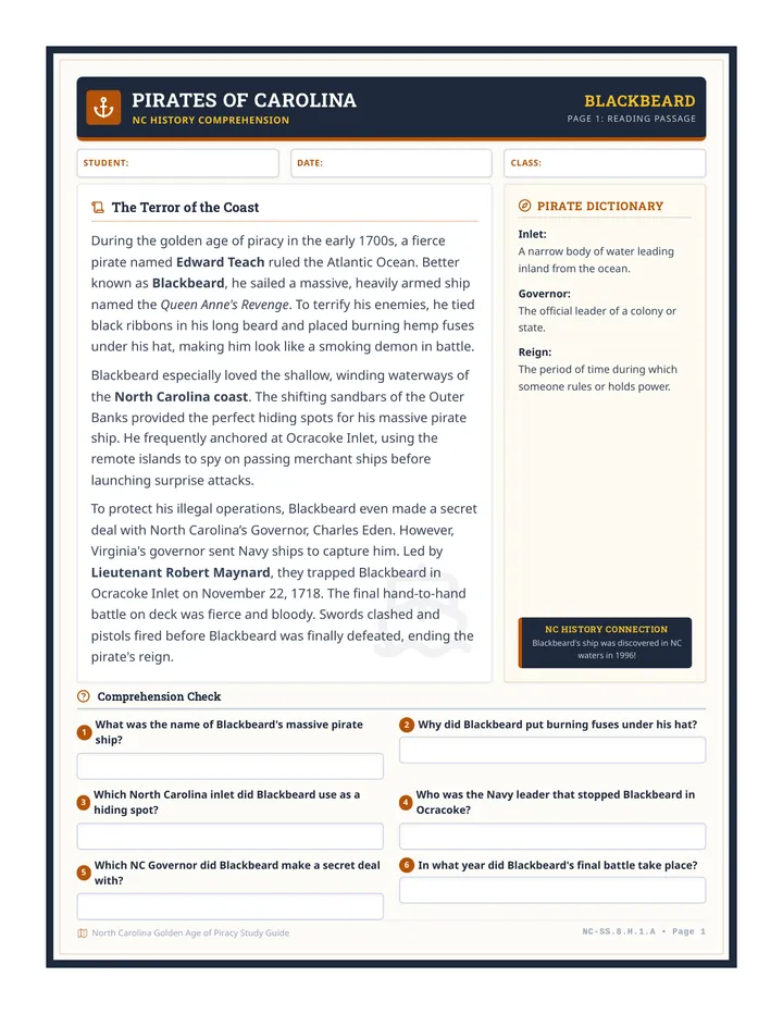
Blackbeard Legends Worksheet A

Pirates of Carolina

This lesson features differentiated reading comprehension worksheets about Blackbeard the Pirate along the North Carolina coast. Tailored for middle school special education students, it provides 2nd-grade and 5th-grade level texts in visually identical layouts to preserve student dignity.

KS

Kathleen Suther

11
Border Lines Activity

Harriet Tubman Escape

A lesson exploring Harriet Tubman's 1850 escape and the significance of the Mason-Dixon Line as a geographical and legal boundary in the pre-Civil War United States.

TL

Tanya Larson

46
Modern Era Reader Part 1

The Modern Ledger

A comprehensive exploration of the 1990s through the modern day, covering technological shifts, political milestones, military conflicts, and cultural evolution in the United States.

CE

Chelsea Elliott

20
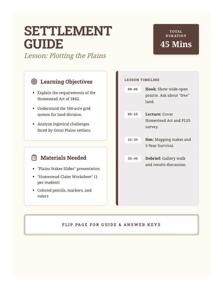
Settlement Guide Teacher Notes

Plotting the Plains

This lesson explores the Homestead Act of 1862 and the logistical realities of settling the American West, focusing on the grid system and survival challenges.

LB

Laurie Baron

3
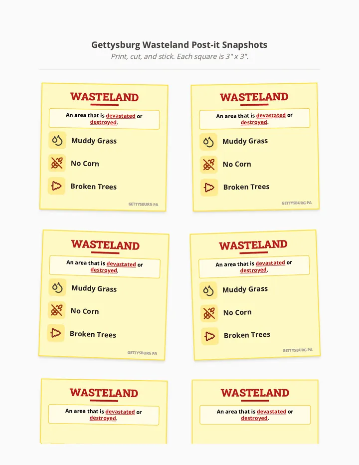
Wasteland Post-it Snapshots

Gettysburg Story Snapshots

This lesson provides visual 'snapshot' cards for key moments and figures of the Battle of Gettysburg, specifically focusing on the environmental impact (wasteland) and General Robert E. Lee's leadership.

TL

Tanya Larson

16
Wild West Slides

Western Wonders

An immersive exploration of the 11 states in the Western United States, covering their unique climates, diverse geography, natural resources, and vibrant cultures.

DG

Diana Gordon

4