A 5th-grade history unit exploring the political and social efforts to reunify the United States after the Civil War, focusing on the conflict between presidential and congressional plans.
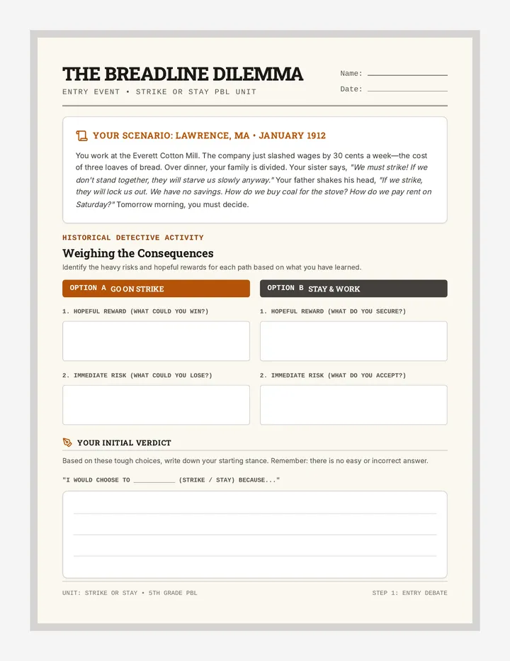
A 5th-grade project-based learning experience where students investigate labor rights and the intense choices workers face during a strike. Students research historical local or regional strikes and roleplay a community town hall debate.
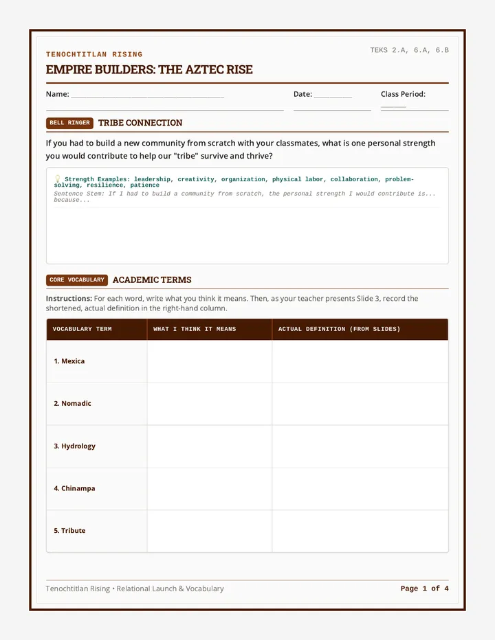
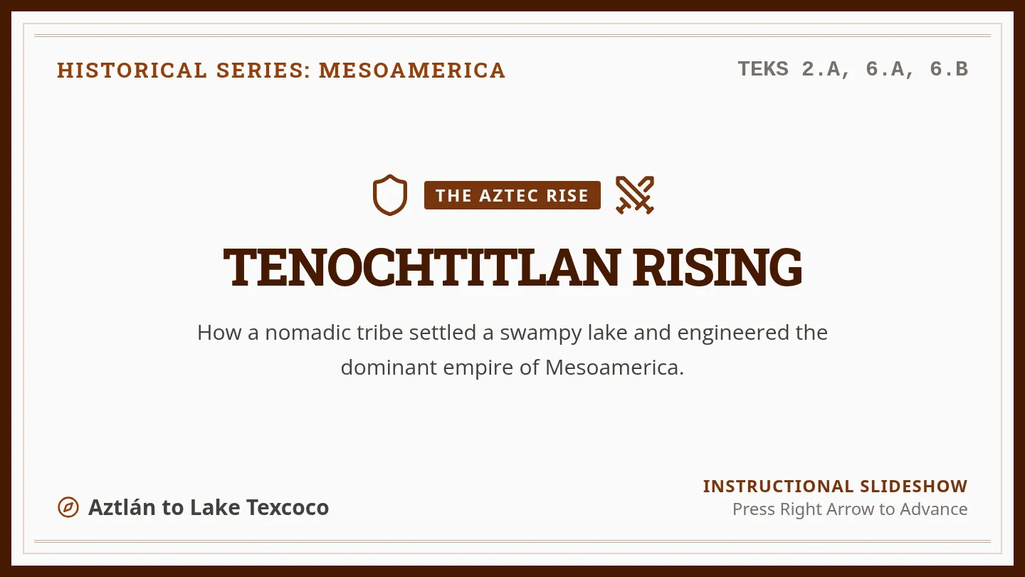
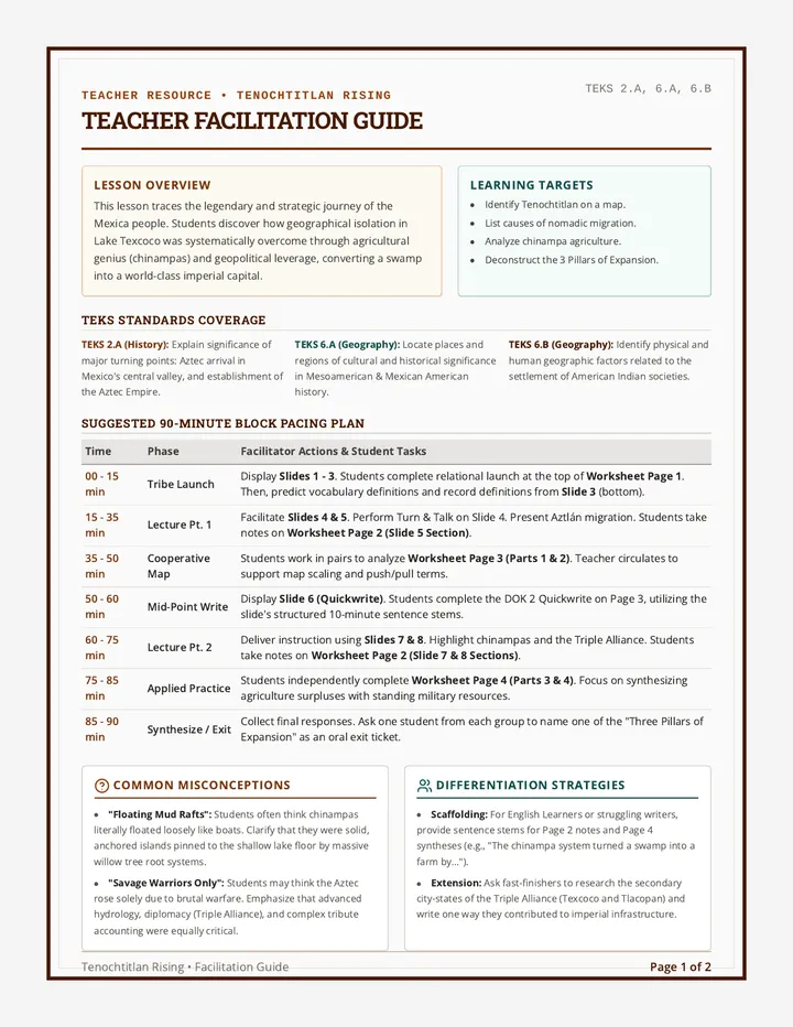
A comprehensive lesson exploring how the Mexica migrated from Aztlán, settled in the Valley of Mexico, and leveraged geography, agriculture, and military strategies to build the Aztec Empire. This lesson includes interactive presentation slides, a graphic organizer worksheet for student analysis, and a detailed teacher facilitation guide.
A two-page printable teacher facilitation guide detailing TEKS alignment, a minute-by-minute pacing plan, instructional strategies, common misconceptions, slide facilitation scripts, and a complete worksheet answer key (including the new vocabulary bell ringer page).
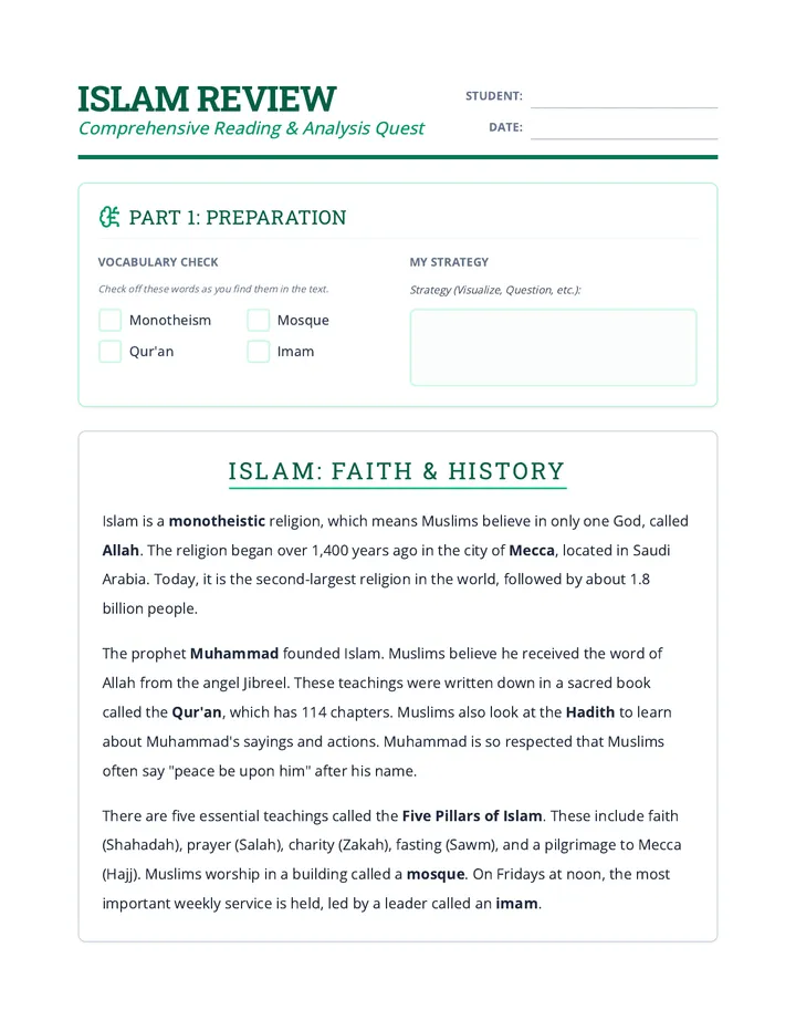
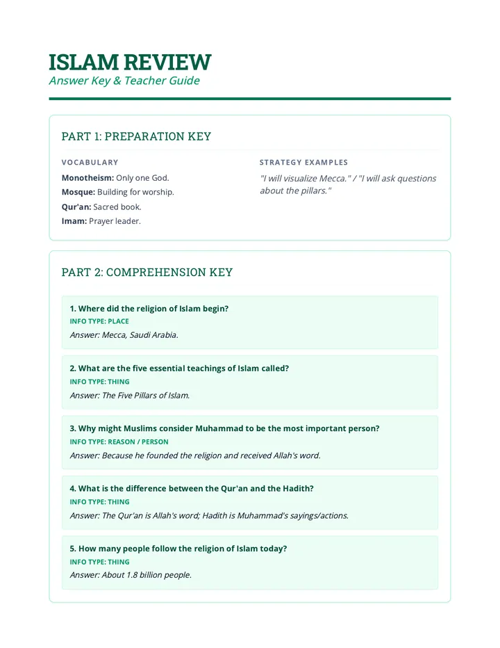
A comparative and deep-dive review sequence exploring foundational teachings, sacred texts, and cultural practices of major world religions.
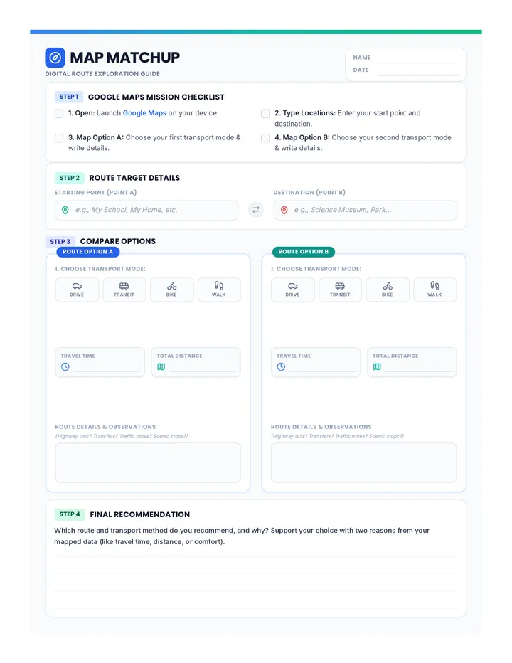
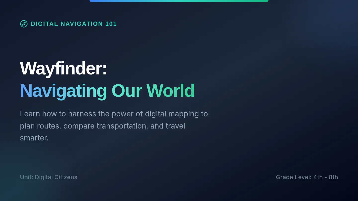
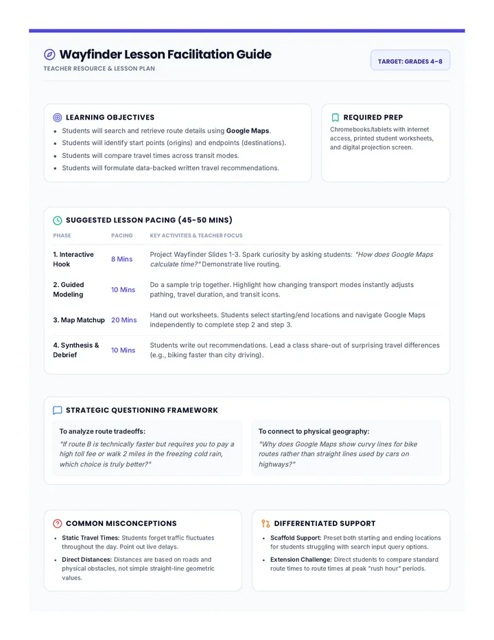
An introductory lesson on using digital mapping tools like Google Maps to plan routes, compare transportation options, and analyze travel times.
An 8-slide interactive instructional presentation for classroom use. Covers TODAY lesson goals, a shortened 5-word academic vocabulary bell ringer slide, the relational CKH tribe launch, migration from Aztlán, the founding of Tenochtitlan, a 10-minute quickwrite, chinampa agriculture, and the three pillars of imperial expansion. Employs a striking, highly visible Codex design with a 24px minimum font size.
A comprehensive 3-day unit for Grade 5 exploring the plantation economy, the lived experiences of enslaved people, the abolitionist movement, and the Emancipation Proclamation.
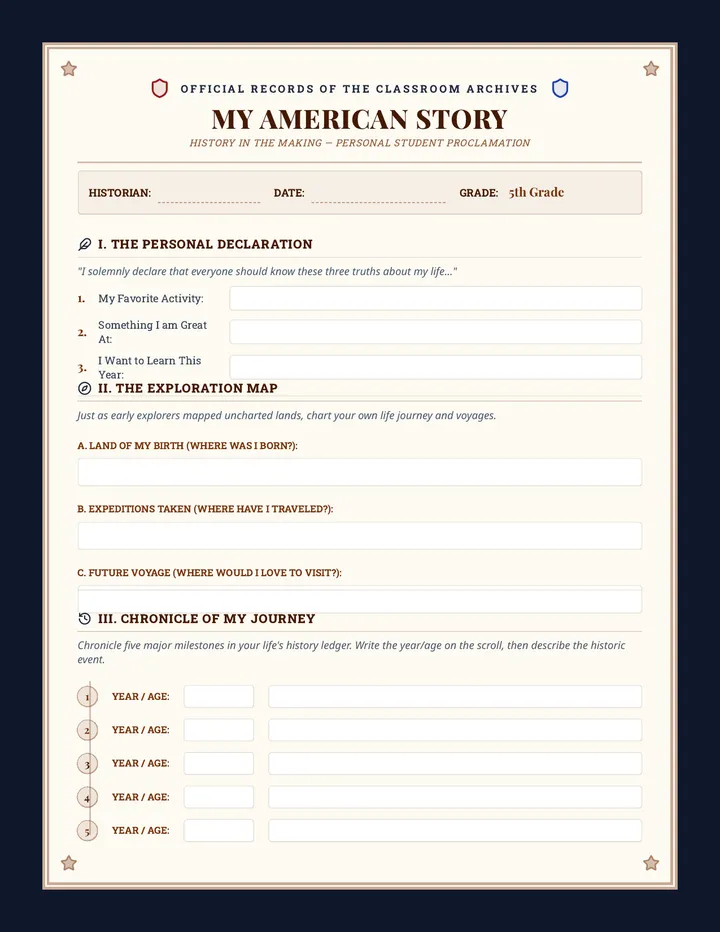
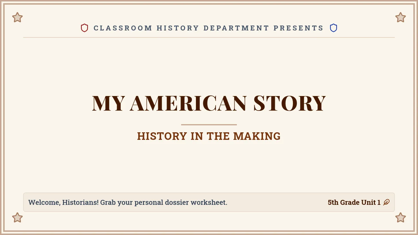
An introductory history lesson where 5th-grade students connect their personal lives to U.S. history themes by creating a 'History in the Making' profile and sharing it.
A four-page printable student packet featuring a top-placed relational CKH launch box on Page 1, followed by a larger Vocabulary Bell Ringer table, larger note-taking spaces on Page 2, a larger migration graphic organizer and Lake Texcoco map analysis on Page 3, and larger chinampa engineering response spaces and expansion analysis charts on Page 4. All writing spaces are completely blank and enlarged for ample freehand student input. Designed in an earthy, historical Codex style.
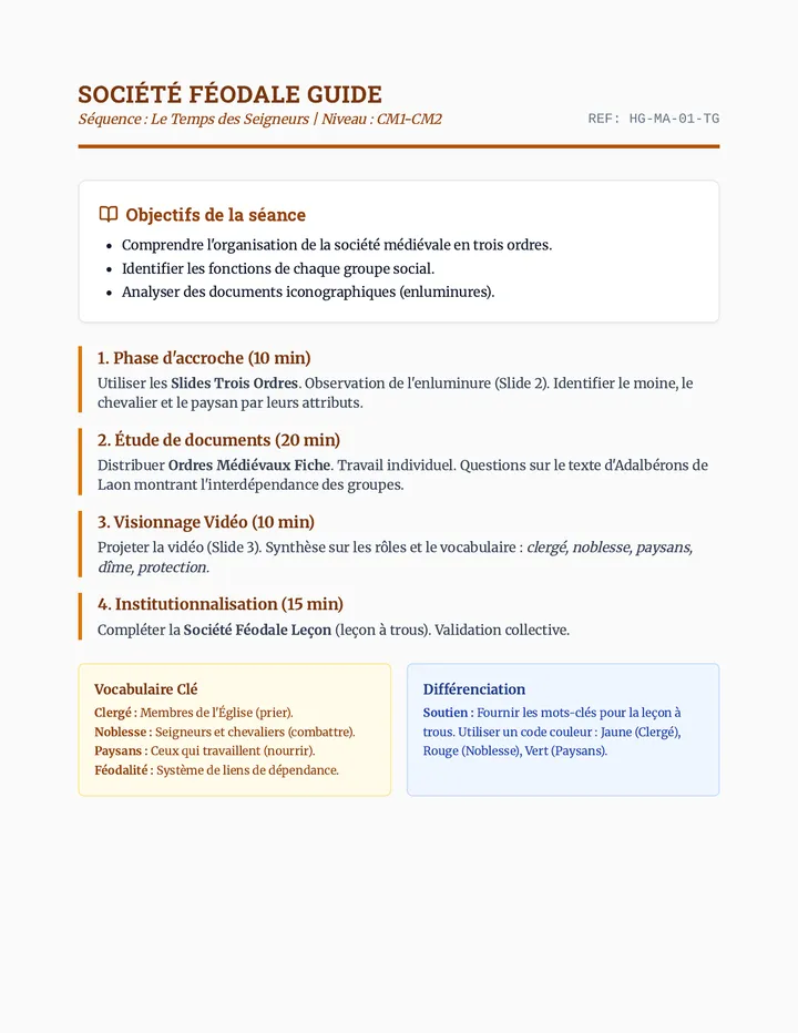
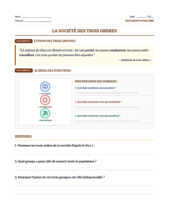
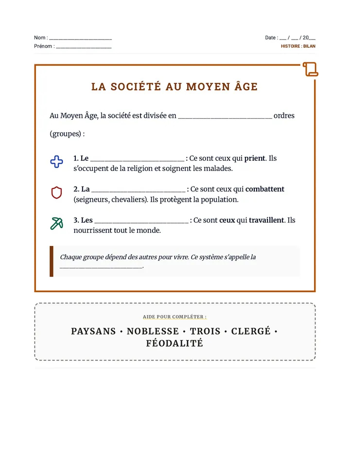
Cette séquence explore l'organisation sociale du Moyen Âge à travers les trois ordres (ceux qui prient, combattent et travaillent) ainsi que l'architecture et le rôle défensif des châteaux forts. Elle alterne entre analyse de documents historiques, visionnage de vidéos et synthèses créatives.
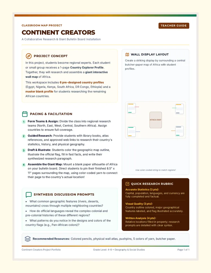
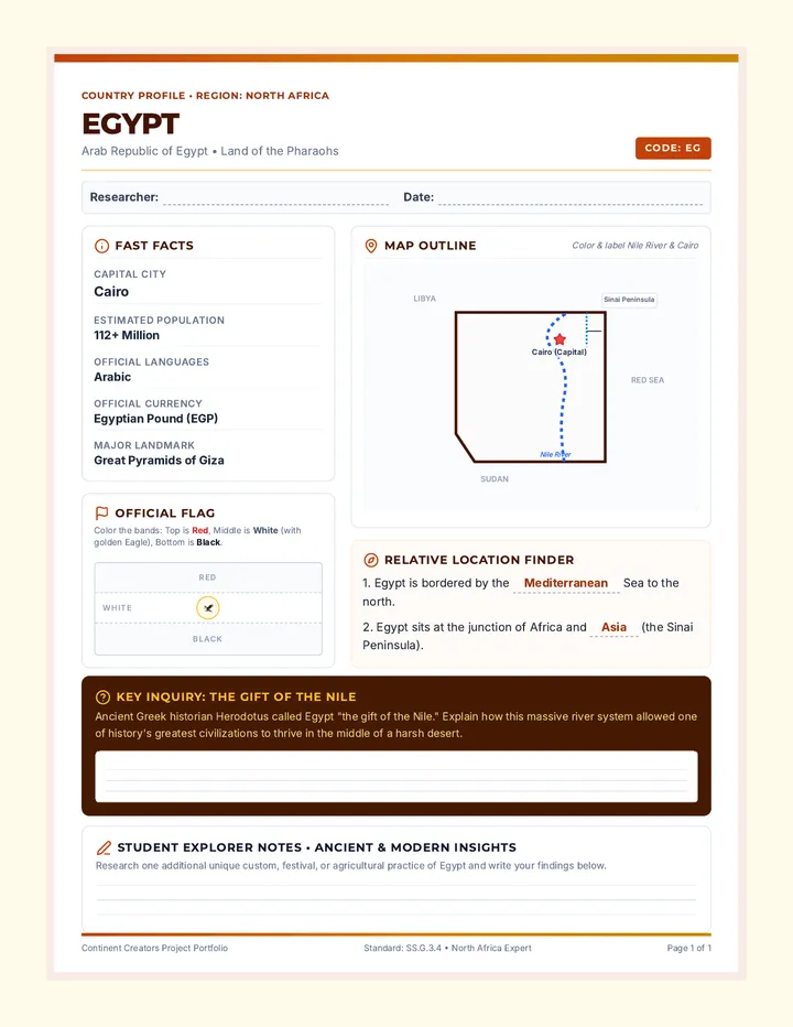
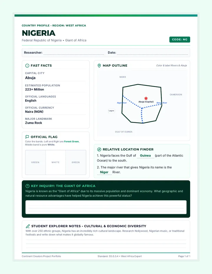
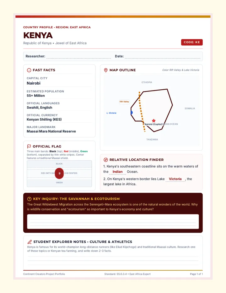
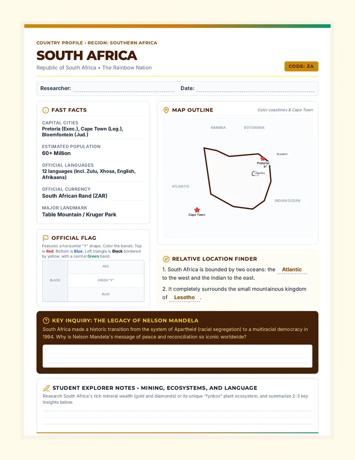
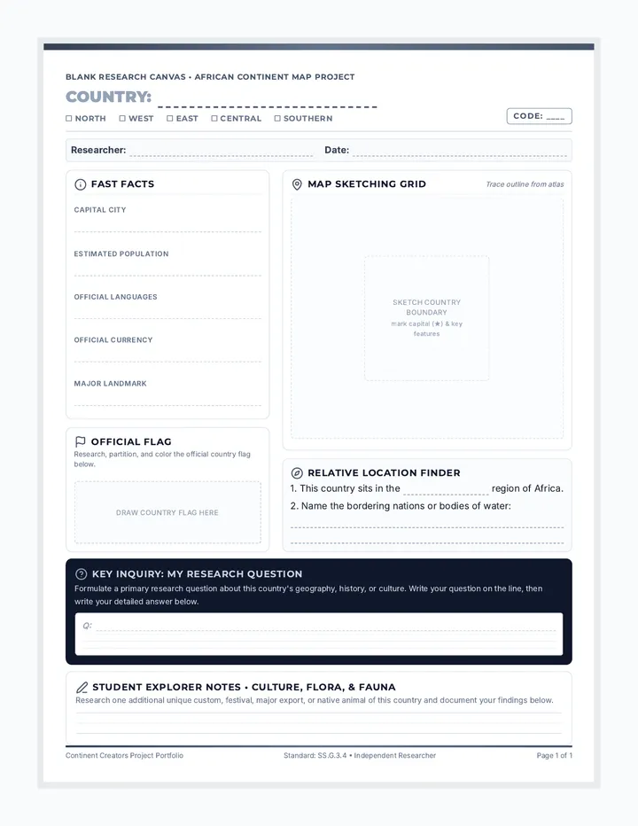
A collaborative classroom research project where students profile African countries to build a giant interactive wall map and bulletin board display. Includes ready-to-print profiles for key regional anchor countries and a matching blank research template for all other countries.