Khans Reach Slides Khan's Great Reach
Tracing the Expansion of the Mongol Empire
The Horseback Challenge
Look at this map of Asia. Imagine you are a Mongol messenger in the 13th Century.
How long would it take to travel from Beijing to Europe on horseback?
(Write your guess on your worksheet!)
Beijing
Europe
Today's Mission
Trace
Map the rapid expansion of the Mongol Empire across Eurasia.
Identify
Find the geographical "Barriers" and "Facilitators" of growth.
"How did the Mongol conquest of China lead to the creation of the largest empire the world had ever seen?"
— The Mystery Question
Witness the Conquest
12 Minutes
Embedded media
Watch For:
Strategies to breach the Great Wall
The establishment of the Yuan Dynasty
How "Relay Stations" functioned
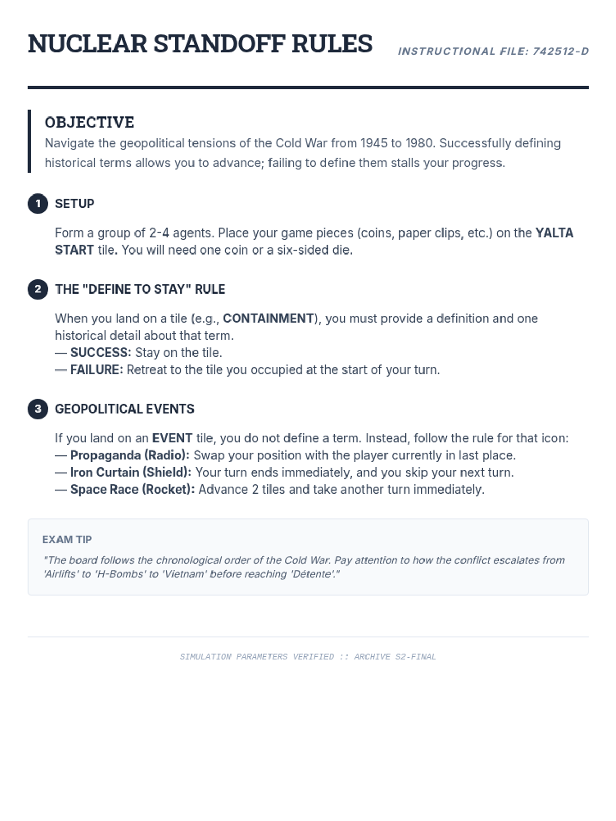
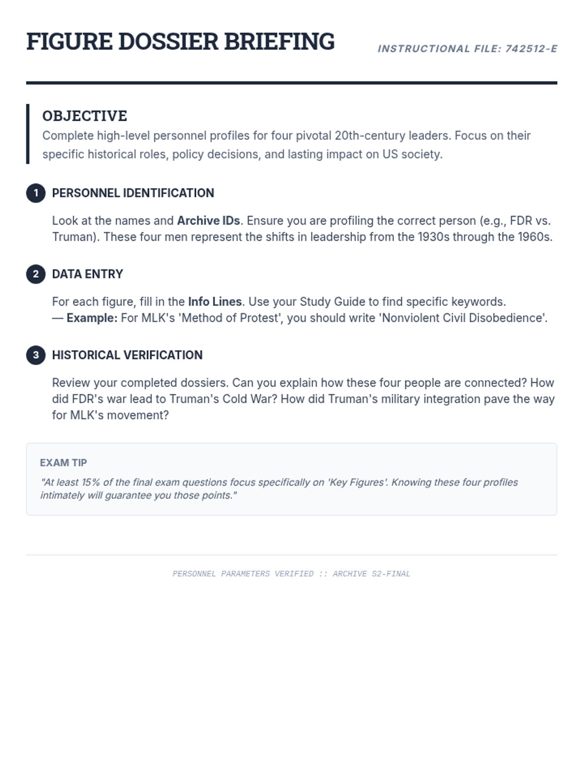
The safety of the Silk Road
Conqueror's Vocabulary
Fortified
Strengthened against attack (e.g., the Great Wall).
Relay Station
Stops for messengers to switch horses/rest for speed.
Assimilation
Adopting customs or practices of another culture.
Tolerance
Allowing different religions or cultures to coexist.
Mapping the Conquest
01
Trace & Shade
Shade the extent of the Mongol Empire in RED. Start in Mongolia and spread out.
02
Mark Landmarks
Label Zhongdu (Beijing) and draw the Great Wall.
03
Annotate
Label geographical "Barriers" (Mountains, Wall) and "Facilitators" (Relay Stations).
Work with your partner to identify the best routes for the Silk Road!
Geography: Help or Hinder?
Barriers
The Great Wall of China
Vast Gobi Desert
Himalayan Mountains
Natural Fortifications
Facilitators
The Silk Road Trade Routes
Yam (Relay Station) System
Open Steppe Terrain (Horses)
Knowledge of the Terrain
Final Discussion
"Which factor was more important for the Mongol Empire: Military Might or Effective Communication?"
Prepare one piece of evidence from your map to support your answer.
How did geography play a role in the eventual "Fall" of the Yuan Dynasty?
Khans Reach Worksheet Steppe Scout Field Report
Subject: Mongol Expansion
Date: 13th Century (Reconstructed)
Scout Name:
Division/Period:
Warm-Up: The Great Ride
Look at the modern map of Asia. Estimate how long it would take for a Mongol messenger to travel from Beijing to Europe on horseback.
My Initial Guess:
After Video Update:
Video Observations: Empire Building
1. The Mystery Question: How did the Mongols create the largest empire in the world?
Military Strategies:
Governance Strategies:
2. What was the purpose of the "Relay Stations" (Yam system)?
Mapping the Conquest: Data Analysis
After completing your Map Template, use it to answer the following questions.
Geographical Barrier (Hindered) Geographical Facilitator (Helped) EXAMPLE: Great Wall of China
|
EXAMPLE: Open Steppe Grasslands
|
|
|
|
Silk Road Synthesis:
Under the Yuan Dynasty, the Silk Road was protected. List three things (goods or ideas) that moved between East and West:
Closure: Final Assessment
Consider the entire Mongol Empire. Do you think it would have been possible to maintain such a large empire WITHOUT the Relay Station system? Why or why not?
Khans Reach Map Template Empire Expansion Map
Mapping the 13th Century Mongol Conquests
Name:
Period:
Himalayas Altai Mountains Great Wall Zhongdu (Beijing) Karakorum Samarkand Mongolia China Central Asia Siberia Pacific Ocean
Map Legend
Mongol Empire (1279)
Great Wall
Silk Road Routes
Yuan Dynasty Capital
Task 1: The Conquest
1. Use a RED pencil to shade the full extent of the Mongol Empire at its peak. Be sure to cover from the Pacific to the Caspian Sea.
2. Draw the Silk Road routes connecting the major cities using a dashed line.
Task 2: Landmarks
1. Identify two natural barriers on your map and circle them.
2. Place a small star at three locations where you think Relay Stations would be most useful.
Cartographer's Note:
"The speed of our horses is matched only by the reach of our maps. From the Great Wall to the Caspian, the world is one."
Khans Reach Teacher Guide Conquest Coordinator
Teacher Facilitation Guide
Lesson ID
MONGOL-01
Lesson Objective
Students will trace the Mongol Empire's expansion and identify how geographical barriers (like the Great Wall) and facilitators (like Relay Stations) influenced its growth and stability.
Essential Question
"How did geography both help and hinder the Mongol conquest of China?"
Key Vocabulary
Fortified, Relay Station, Assimilation, Tolerance, Steppe
Prep Checklist
Khans Reach Slides
Worksheet (1 per student)
Map Template (1 per student)
Red & Blue Colored Pencils
Video URL tested/ready
Lesson Pacing
00-05m
Warm-Up: Horseback Guess
Use Slide 2. Allow students to guess the travel time (Beijing to Europe). Correct answer: Approx. 4-6 months with the Yam system; much longer without.
05-20m
Video & Guided Notes
Play the video (Slide 4). Pause at 4:09 and 6:55 for the review questions. Ensure students are capturing military vs. governance strategies on their worksheets.
20-45m
Mapping the Conquest
Distribute maps. Students shade the empire in RED . They should identify the Great Wall as a barrier and mark Relay Stations as facilitators. Circulate to check for accuracy on Silk Road routes.
45-50m
Closure & Debrief
Discuss: Why was the relay system essential? (Communication speed = Control). How did it help trade? (Safety of merchants).
Teacher Answer Key: Student Worksheet
Video Observation Highlights:
Military: Horse archers, psychological warfare, siege technology (Zhongdu).
Governance: Keeping Chinese officials, blending cultures (Yuan), religious tolerance.
Relay Stations: Quick communication across the massive empire via messengers on horseback.
Silk Road Movement:
East to West: Silk, porcelain, tea, paper money.
West to East: Spices, Islamic scientific knowledge, glassware, religions (Islam/Christianity).
Geographical Analysis:
Barrier Facilitator Great Wall (Breached via gaps)