A 5-lesson sequence exploring the geography, climate, resources, culture, and states of the Northeast region of the United States. Students will engage with reading passages, comprehension activities, and a states-and-capitals matching game.
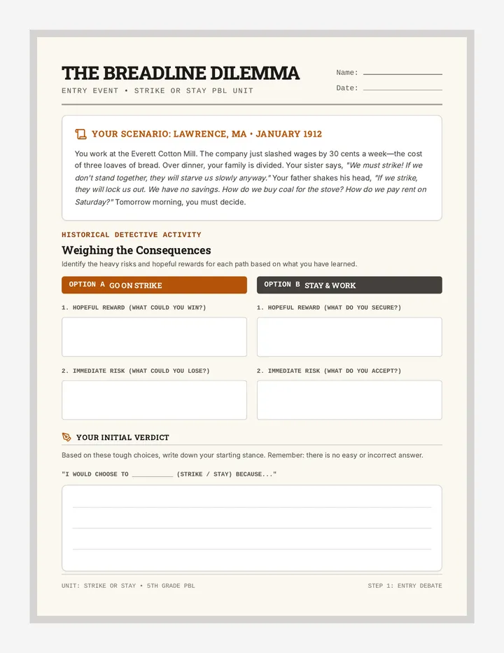
A 5th-grade project-based learning experience where students investigate labor rights and the intense choices workers face during a strike. Students research historical local or regional strikes and roleplay a community town hall debate.
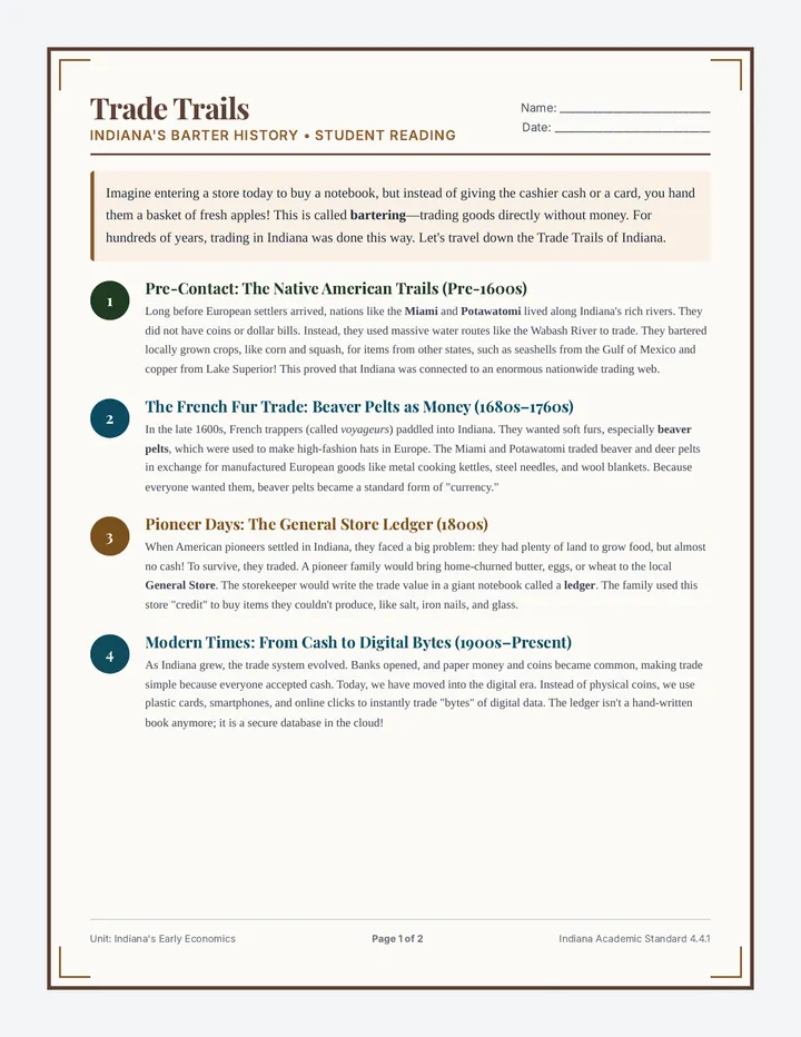
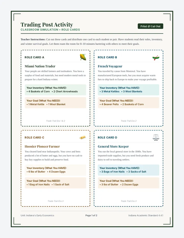
A comprehensive 4th-grade social studies lesson exploring the history of trade and barter in Indiana. Students journey from pre-contact Miami and Potawatomi trade, through the French fur trade, pioneer-era bartering, and the shift to early currency, ending with modern digital transactions.
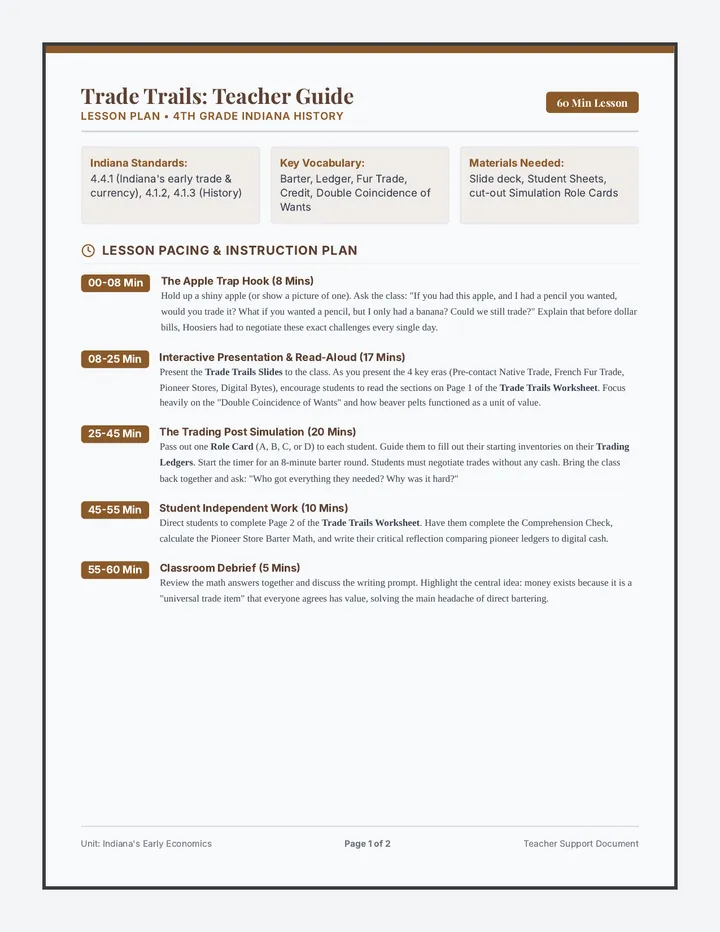
A comprehensive professional lesson plan and facilitation resource for teachers. Page 1 contains a step-by-step pacing guide, material setup checklist, and instruction scripts. Page 2 provides essential historical background context, common student misconceptions, and the complete Answer Key for the Trade Trails student worksheet.
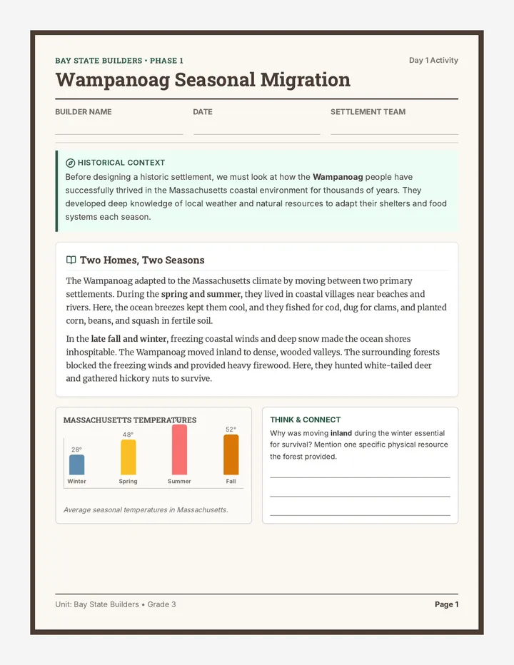
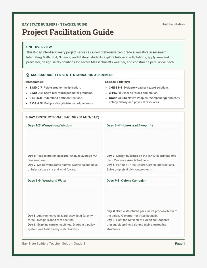
An 8-day interdisciplinary project where 3rd-grade students design a sustainable historical Massachusetts settlement. Integrating math, ELA, science, and social studies, students apply area, perimeter, fractions, weather science, Wampanoag adaptations, and persuasive writing.
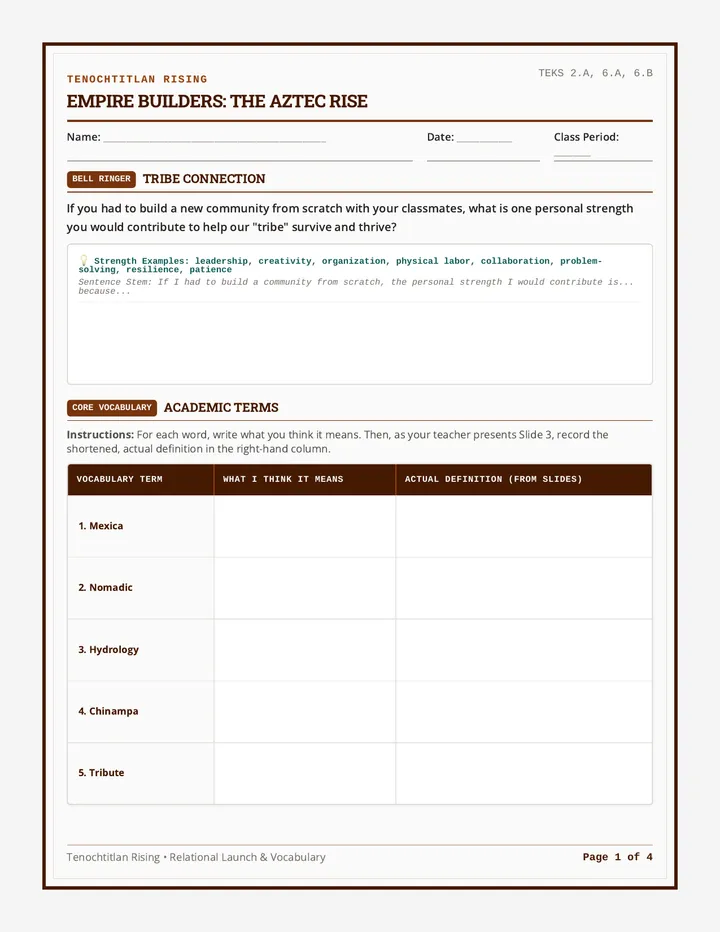
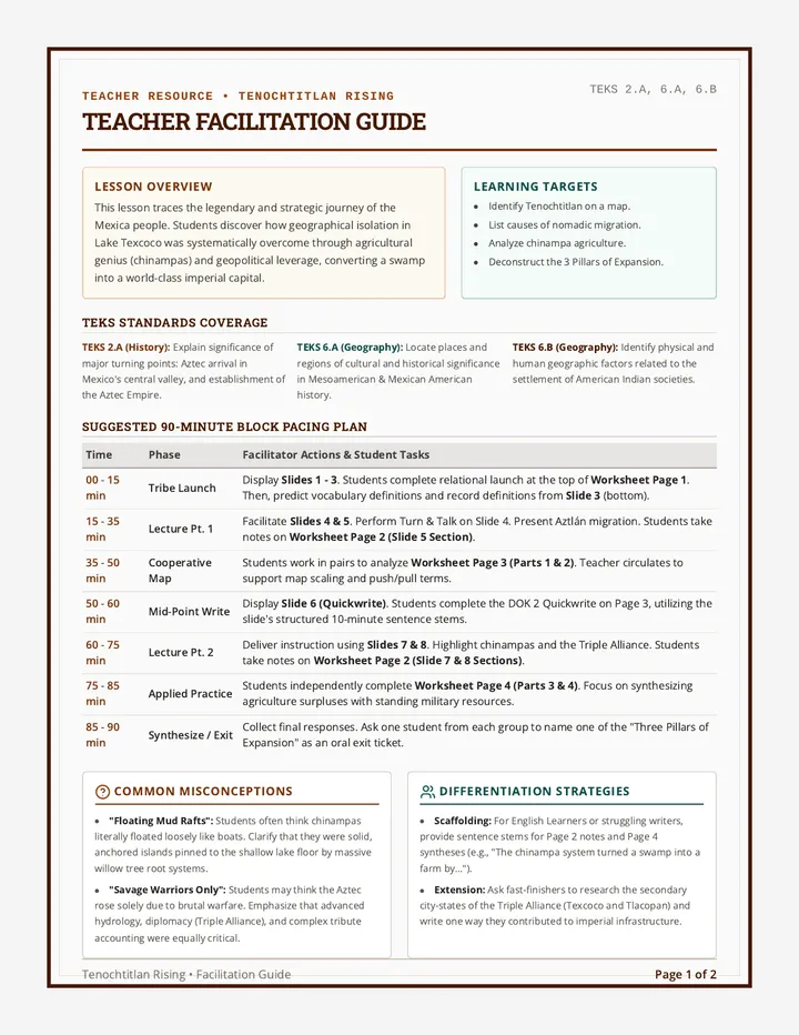
A comprehensive lesson exploring how the Mexica migrated from Aztlán, settled in the Valley of Mexico, and leveraged geography, agriculture, and military strategies to build the Aztec Empire. This lesson includes interactive presentation slides, a graphic organizer worksheet for student analysis, and a detailed teacher facilitation guide.
Printable components and instructions for the classroom bartering game. Page 1 contains four uniquely detailed Role Cards representing historical trade figures (Miami Trader, French Trapper, Pioneer Farmer, Storekeeper). Page 2 features the Student Trading Ledger to log physical transactions during the game.
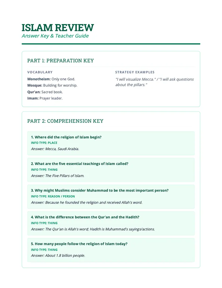
A comparative and deep-dive review sequence exploring foundational teachings, sacred texts, and cultural practices of major world religions.
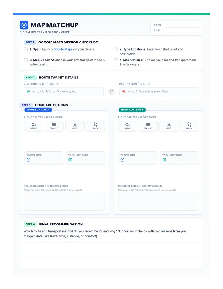
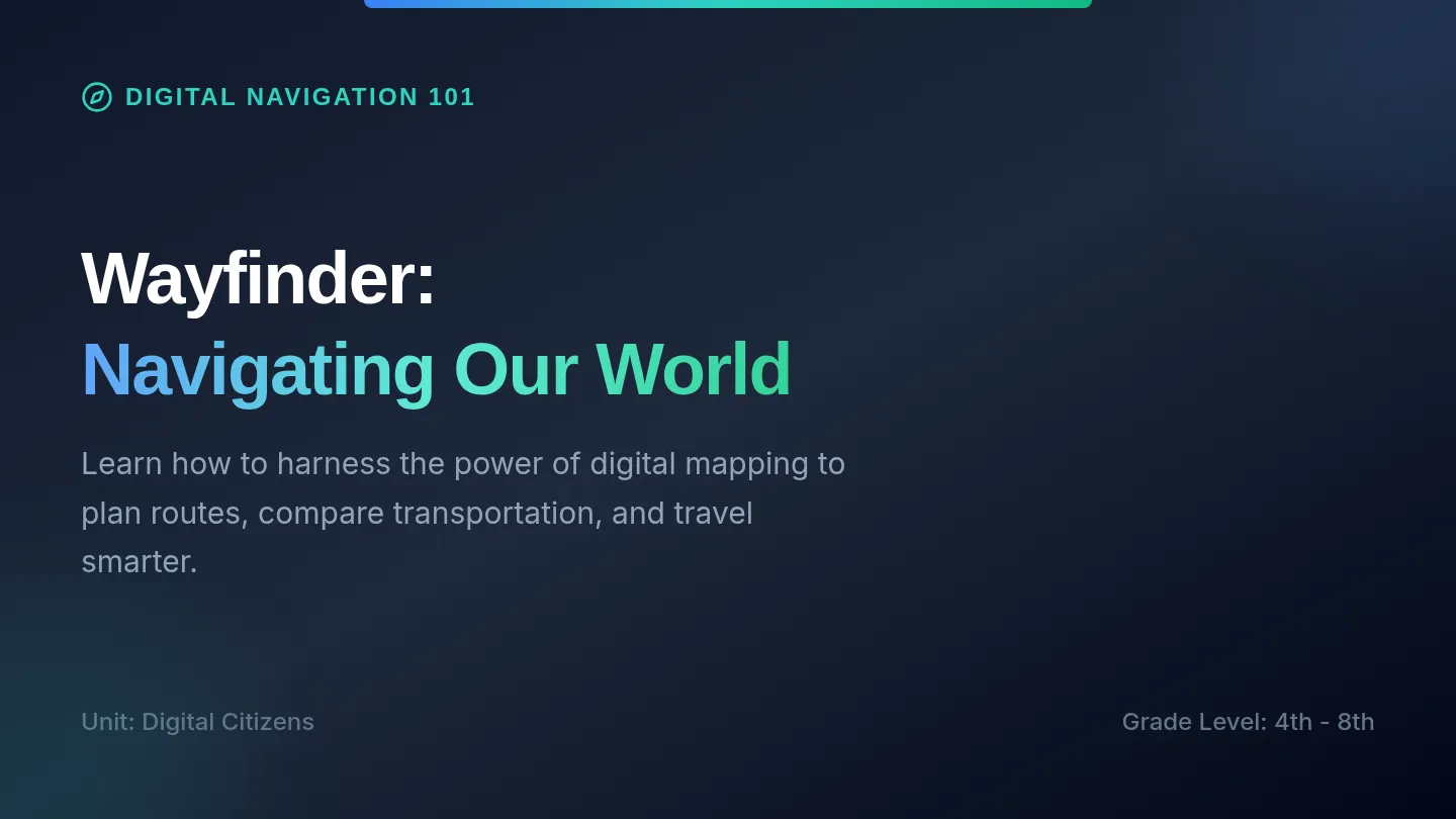
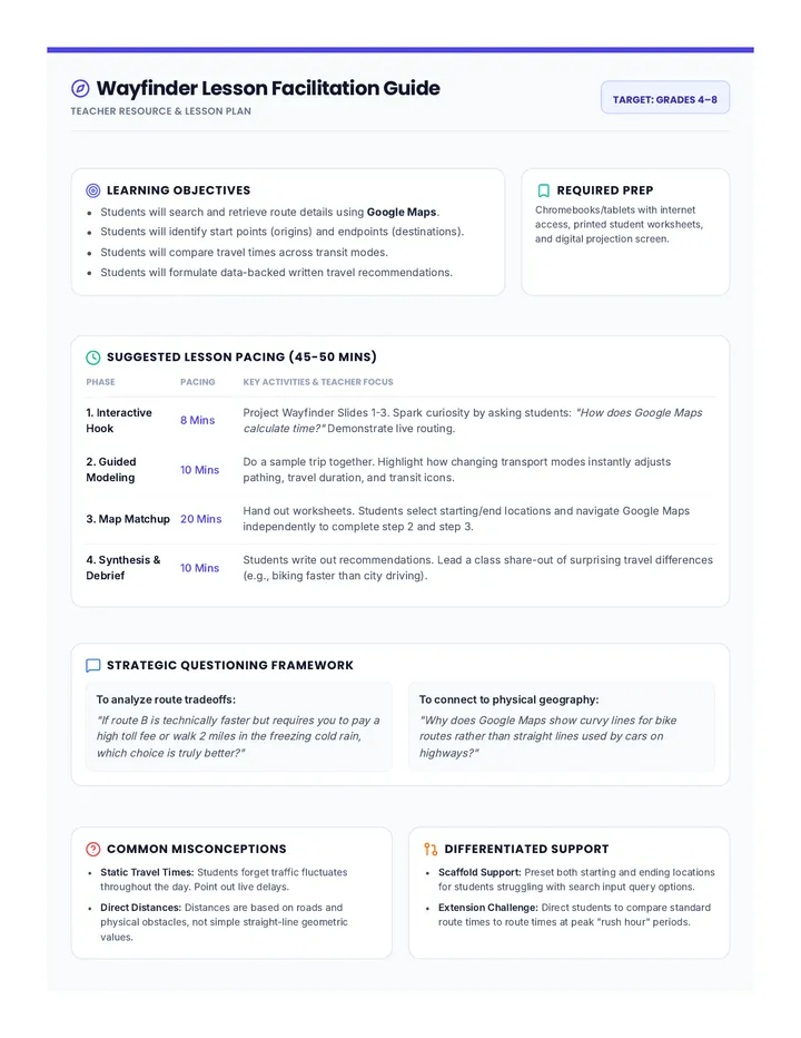
An introductory lesson on using digital mapping tools like Google Maps to plan routes, compare transportation options, and analyze travel times.
A print-ready two-page student document. Page 1 contains a beautifully formatted historical reading passage covering Indiana's four trading eras. Page 2 features comprehension questions, historical barter calculations, and a short-answer writing prompt with ample writing space.
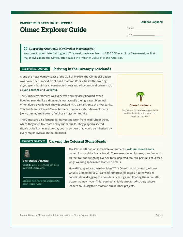
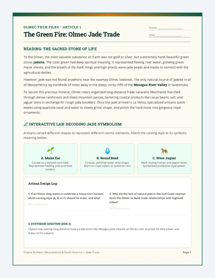
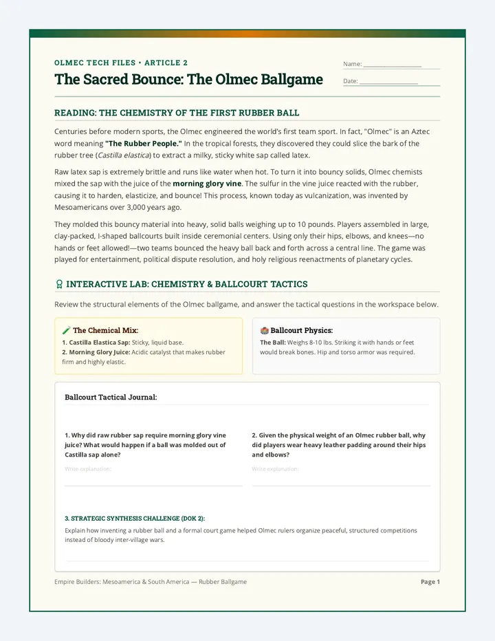
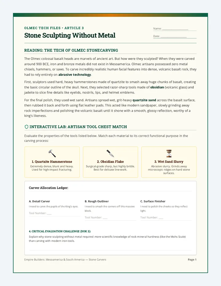
A comprehensive 4th-grade social studies unit where students analyze the Olmec, Maya, Aztec, and Inca civilizations. Through primary-source-style document analysis, geographical exploration, and civic action, students discover what made these empires successful and apply ancient engineering solutions to improve the modern City of Surprise.
An interactive visual slideshow depicting the history of bartering and trade in Indiana. Features 4 distinct historical eras (Native American, Fur Trade, Pioneer, and Digital), embedded discussion prompts, and large, clear visual elements designed for 4th-grade classroom instruction.