A blank outline map of Africa designed for student coloring and labeling activities. It features a word bank of countries and physical features, a compass rose, and specific mission instructions for geographic identification.
An introductory social studies sequence exploring geography foundations, core geographical themes, and basic economics. Students participate in highly interactive lessons, readings, task cards, and hands-on worksheets.
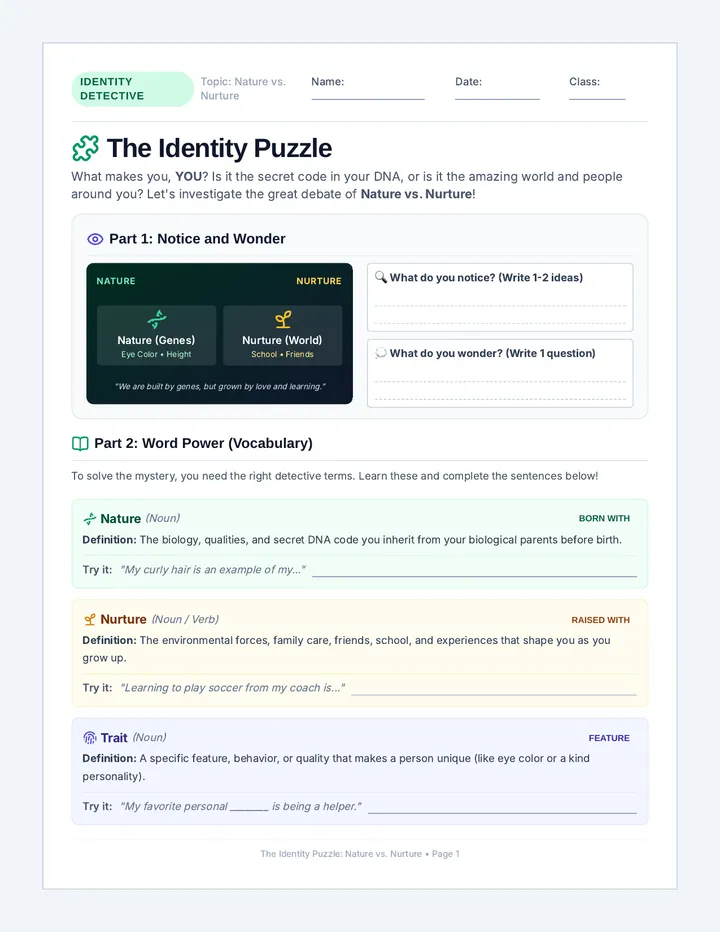
A simplified 6th-grade lesson exploring the classic nature vs. nurture debate. Students learn key vocabulary, read a graphic-organizer-style text, and answer scaffolded comprehension and reflection questions.
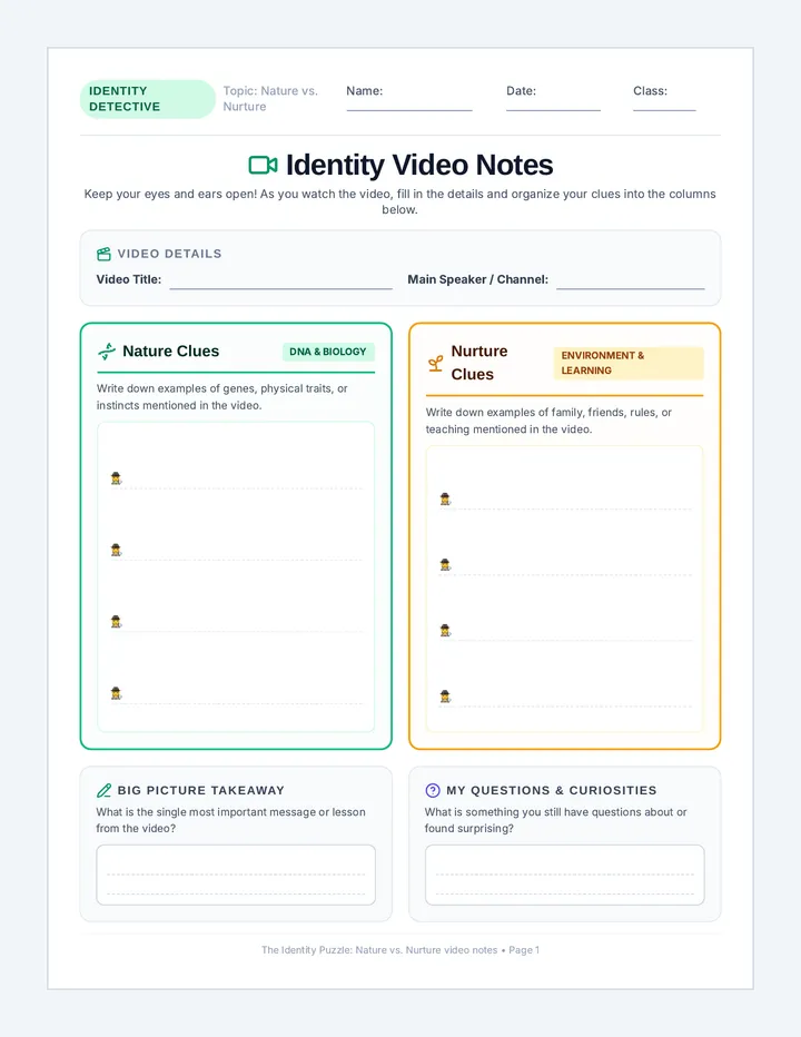
A single-page student video note-taking sheet with themed columns for nature and nurture observations, a video details block, and sections for writing a big-picture summary and outstanding questions.
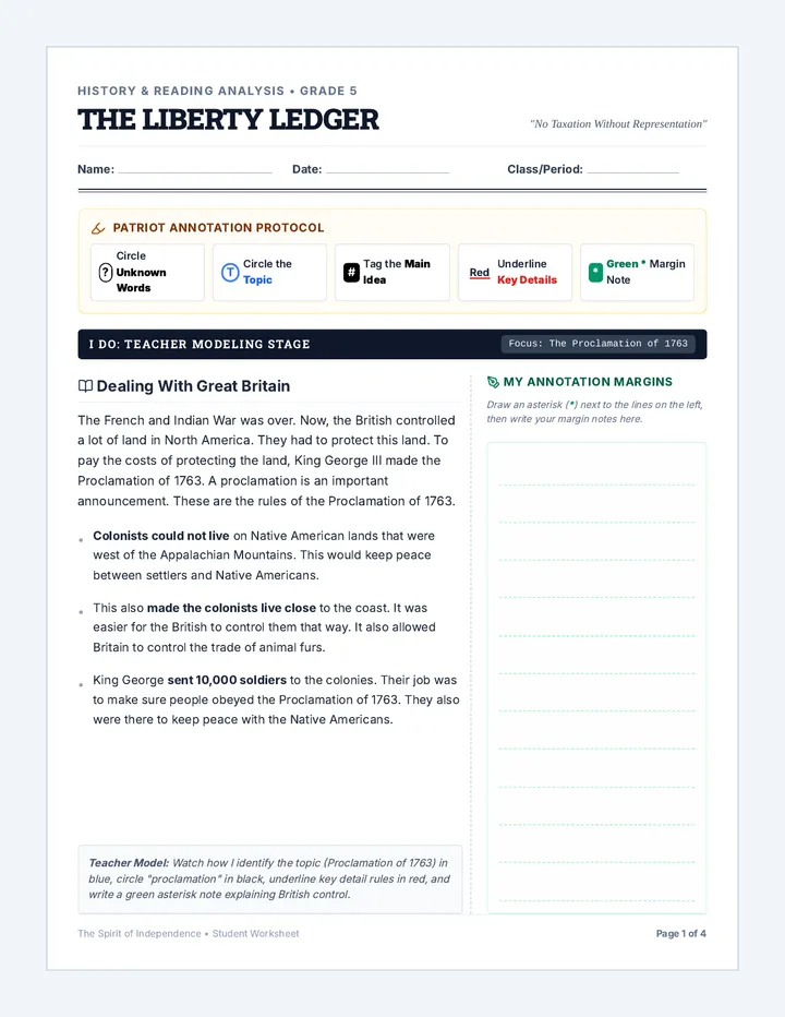
A fifth-grade social studies and active reading unit exploring the growing friction between Great Britain and the American colonies, focusing on the causes, consequences, and motivated actions that led to the American Revolution.
Explores fundamental economic concepts such as trade, natural and human resources, and the balance of supply and demand through simulations and worksheets.
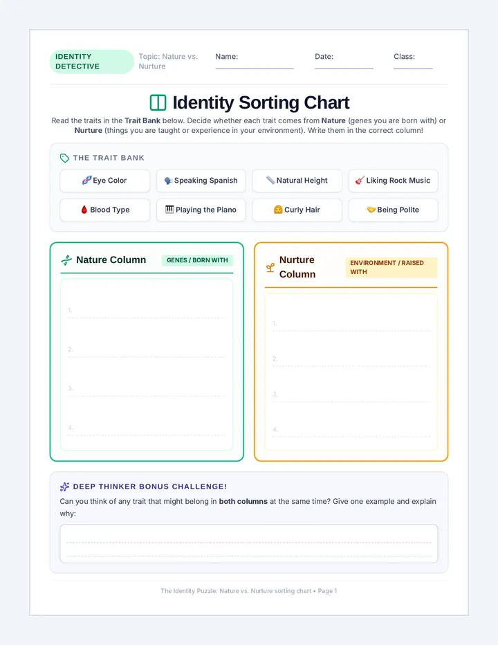
A single-page student sorting activity featuring a themed Word Bank of 8 kid-friendly traits and a beautifully styled, spacious Nature vs. Nurture T-chart for 6th-grade students to complete.
An immersive 3rd-grade Project-Based Learning unit where students act as museum curators to design and exhibit a living history museum, answering the driving question: How did where colonist lived shape how they lived?
Introduces three major themes of geography: Location, Place, and Human-Environment Interaction. Includes station task cards and guided reading passages.
A 3-page, highly scaffolded, 6th-grade student worksheet packet on the Nature vs. Nurture debate. Includes a notice-and-wonder hook, kid-friendly vocabulary cards, a simplified graphic-organizer reading passage, and matching, multiple-choice, short-answer, and personal reflection questions.
An adapted social studies unit combining middle school MCAS Geography and Civics frameworks with supportive, highly visual 3rd-grade level learning materials. Includes simplified reading passages, interactive slides, scaffolded worksheets, and modified assessments.
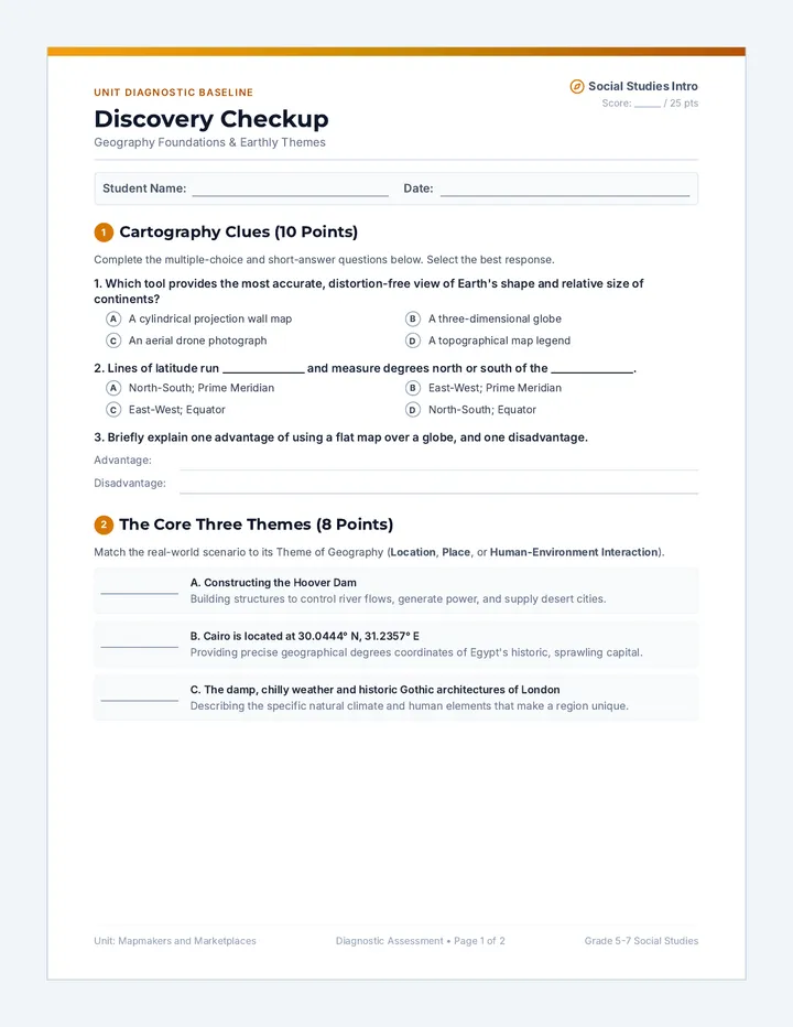
Students explore the differences between maps and globes, understand coordinate grids, and explore world regions. Includes a comprehensive diagnostic pre-assessment.
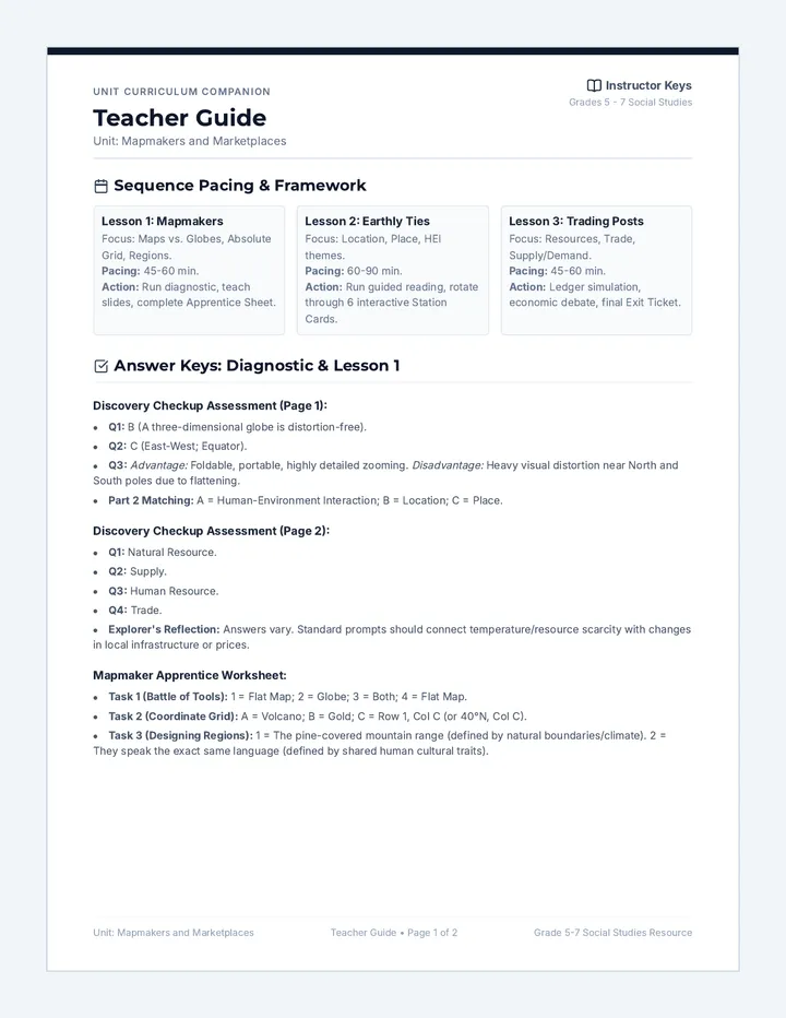
A comprehensive 2-page teacher resource containing lesson plan details, pacing, discussion prompts, and answer keys for the worksheets and pre-assessments.