A hands-on cartography lesson where students explore the political boundaries and physical geography of Oceania through labeling and coloring.
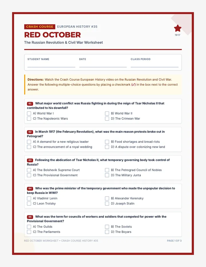
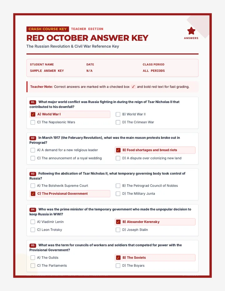
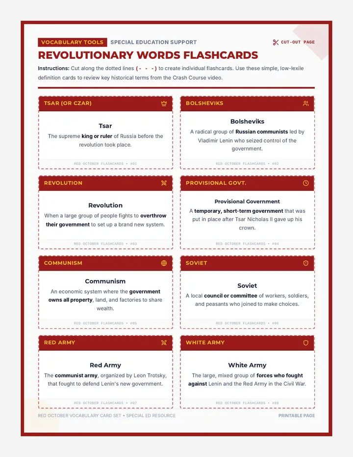
A comprehensive history sequence focusing on 20th-century communist revolutions in Russia and China. This sequence uses Crash Course videos, detailed worksheets, complete answer keys, and accessible vocabulary flashcards to explore the collapse of old empires and the rise of communist states.
An introductory lesson exploring the immigrant experience and systemic barriers through Suli Breaks' spoken word poem 'Fences'. Students engage in a structured movement and discourse activity to analyze literal and metaphorical barriers, connecting themes to their own lived experiences.
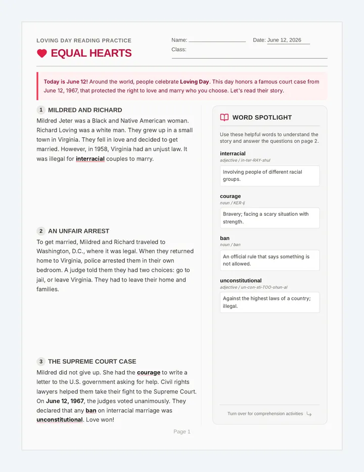
A standalone, double-sided printable reading worksheet designed for English Language Learners (ELL) focusing on Loving Day (June 12, 1967). Includes an accessible, scaffolded reading passage, a visual vocabulary spotlight, text-dependent comprehension questions with writing frames, and a creative reflection activity.
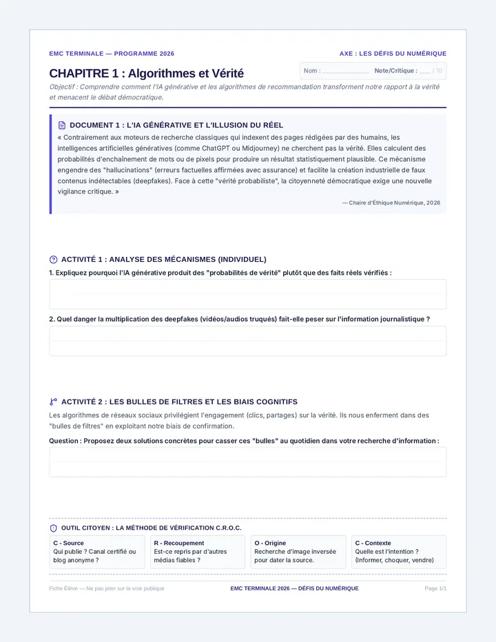
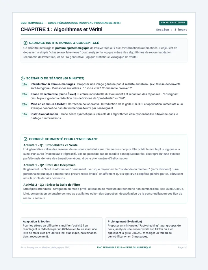
Une séquence complète d'activités clés en main d'Éducation Morale et Civique (EMC) pour la classe de Terminale, conforme au nouveau programme 2026. Elle se concentre sur les défis du numérique : intelligence artificielle, désinformation, espace public numérique et souveraineté technologique.
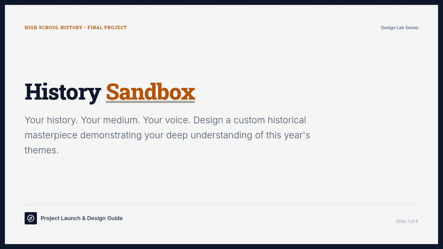
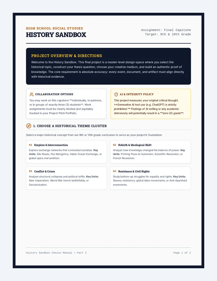
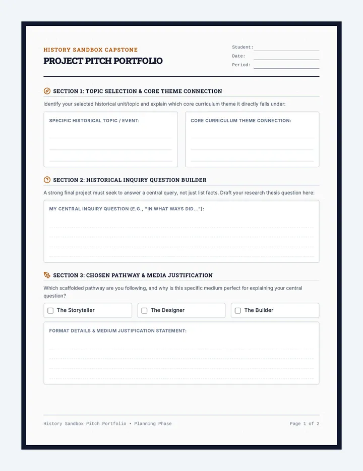
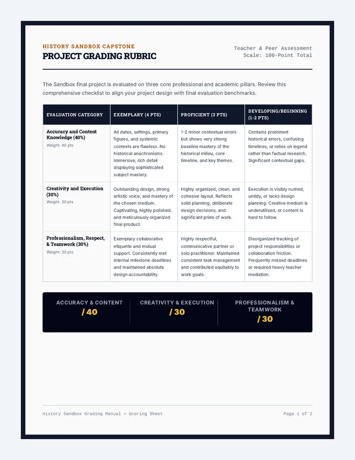
A highly flexible, scaffolded final project workspace for 9th and 10th-grade history classes, allowing students to demonstrate their historical knowledge through creative channels. It includes structured pathways, a comprehensive graphic organizer pitch sheet, a grading rubric, reflection prompts, and introductory slides.
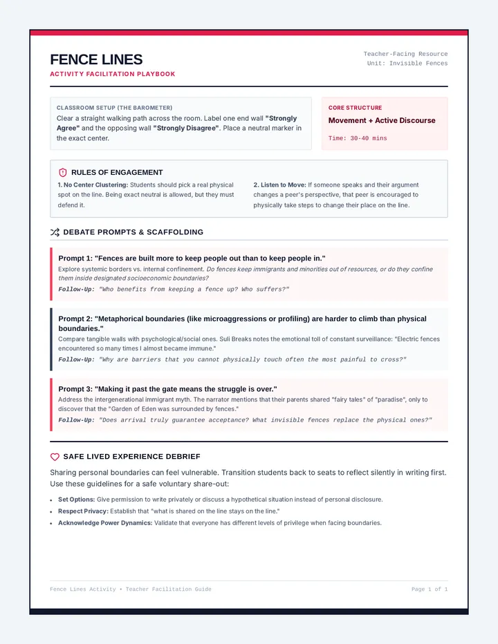
A 1-page teacher facilitation guide for the 'Fence Lines' movement and discourse activity. Provides structured guidelines for setting up the classroom barometer, lesson pacing, specific debate prompts, discussion scaffolds, and guidelines for managing sensitive personal reflections with care.
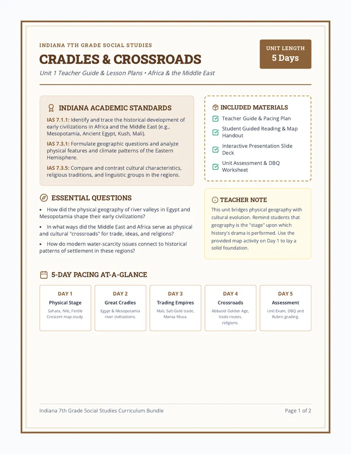
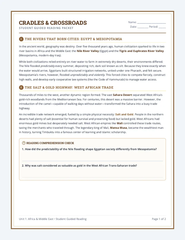
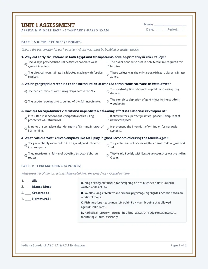
A comprehensive 7th-grade social studies curriculum sequence focused on the Eastern Hemisphere (Africa, Middle East, Asia, and the Pacific). This standards-aligned sequence includes detailed teacher lesson plans, student guided reading and worksheets, interactive presentation slides, and rigorous assessments with DBQs.
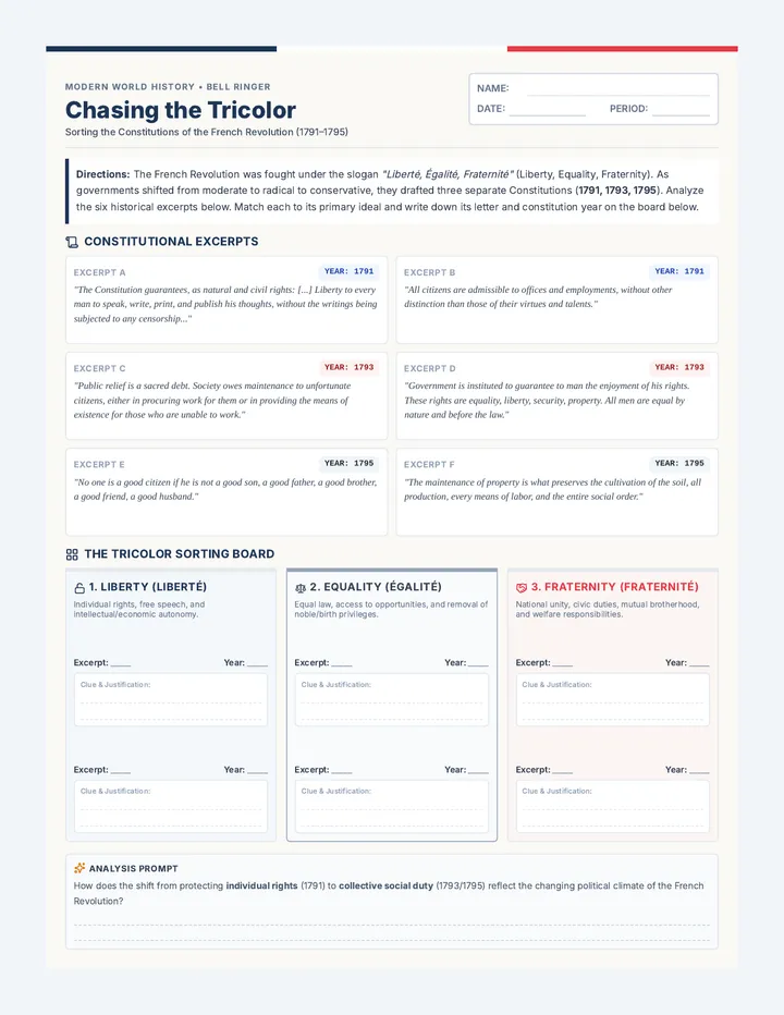
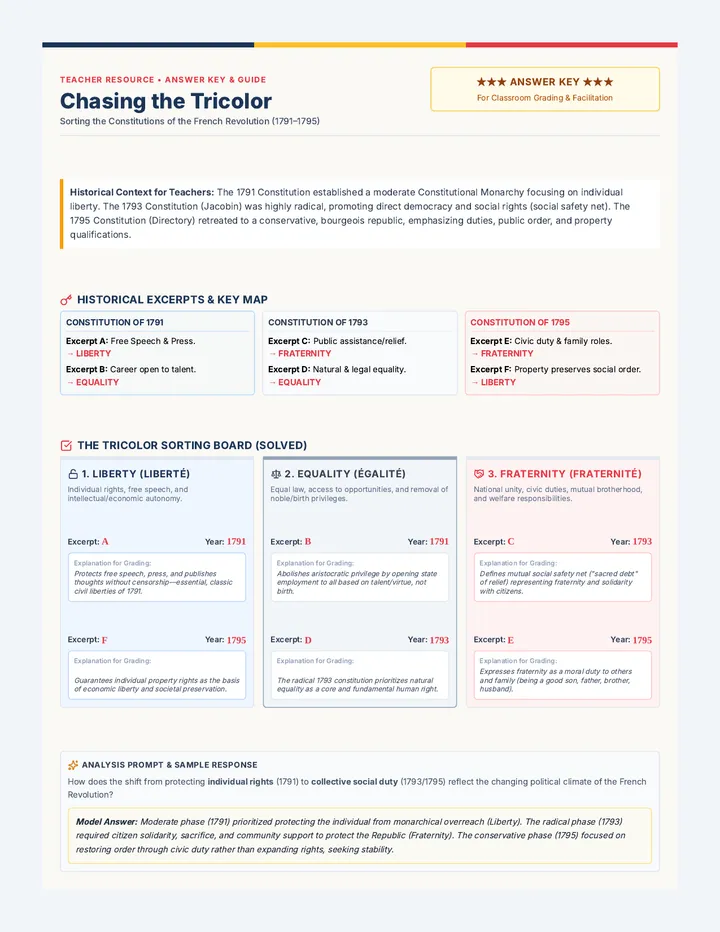
A high-impact bell ringer and analysis activity where 10th-grade history students analyze primary source excerpts from the French Constitutions of 1791, 1793, and 1795, sorting them into the core revolutionary ideals of Liberty, Equality, and Fraternity.
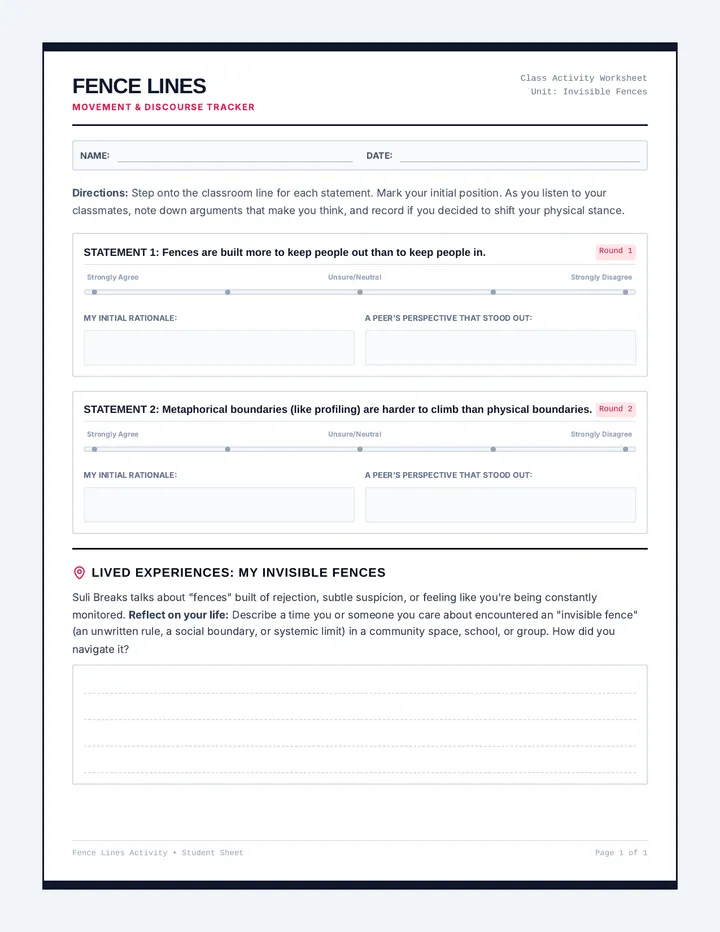
A 1-page student-facing tracker and reflection sheet for the 'Fence Lines' physical barometer activity. Includes visual scaling sliders for each movement prompt, spaces to record peer arguments, and a deep-dive writing area for real-world personal connections.
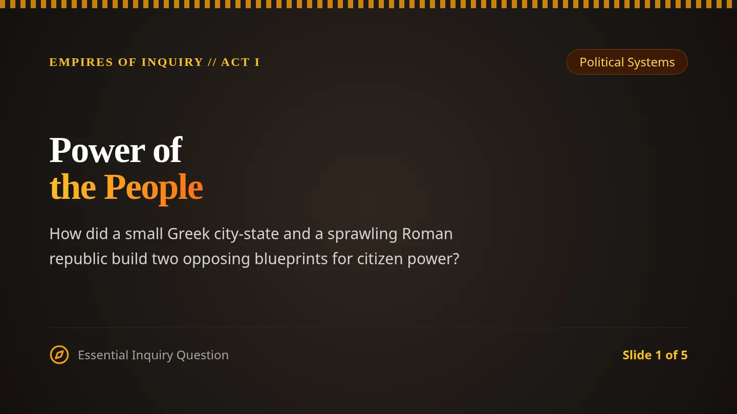
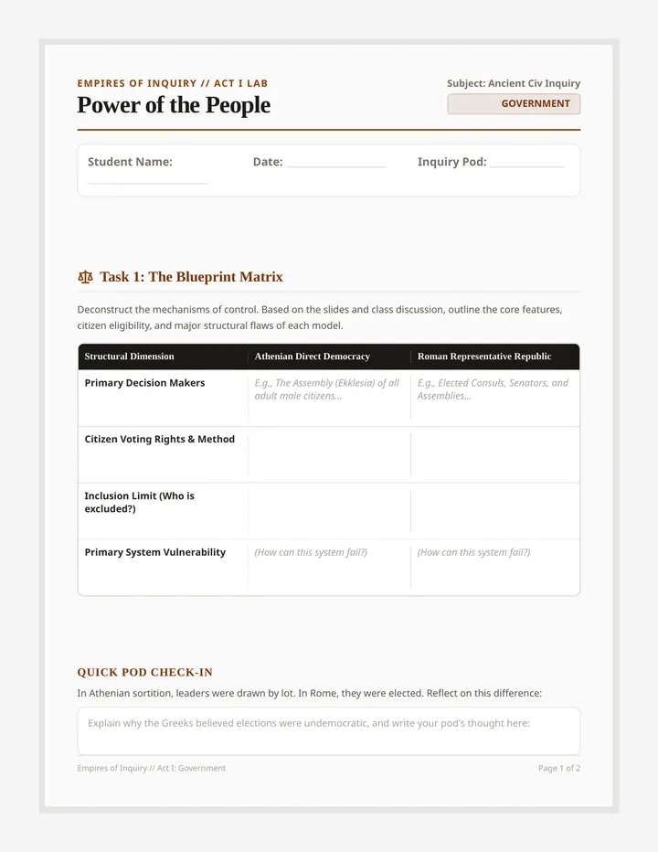
An inquiry-driven social studies sequence investigating Ancient Greece and Rome across four core pillars: government, philosophy, trade, and engineering. Students engage with primary sources, architectural achievements, and ethical dilemmas to construct arguments about classical legacies.
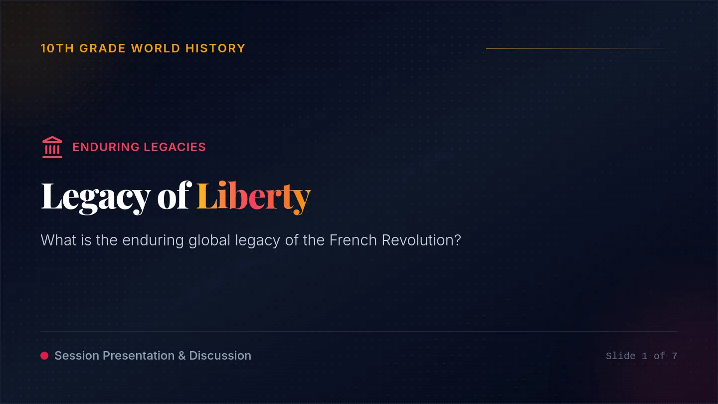
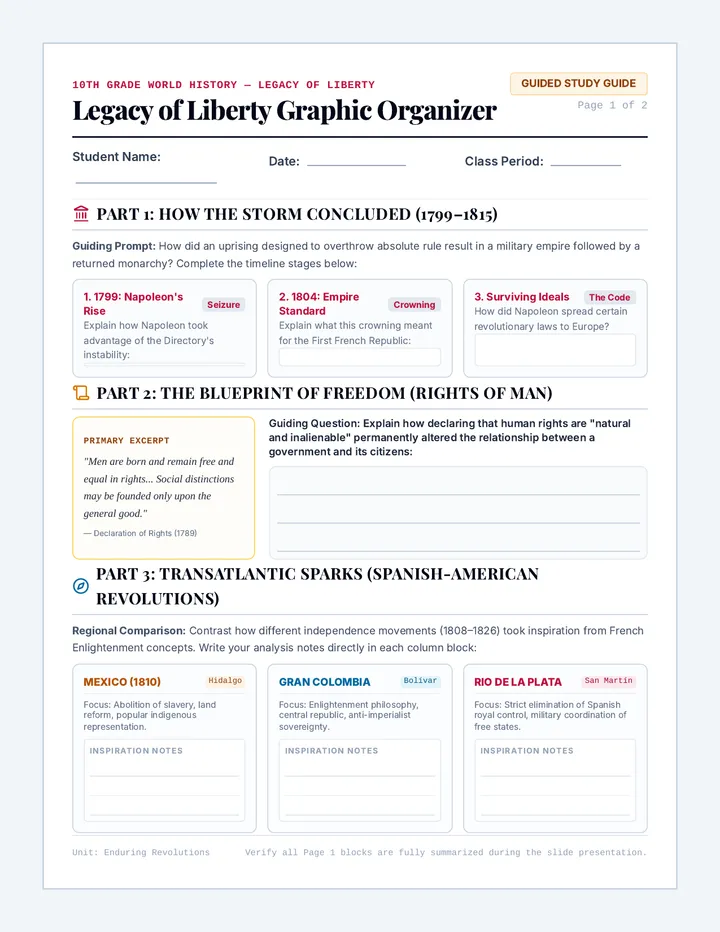
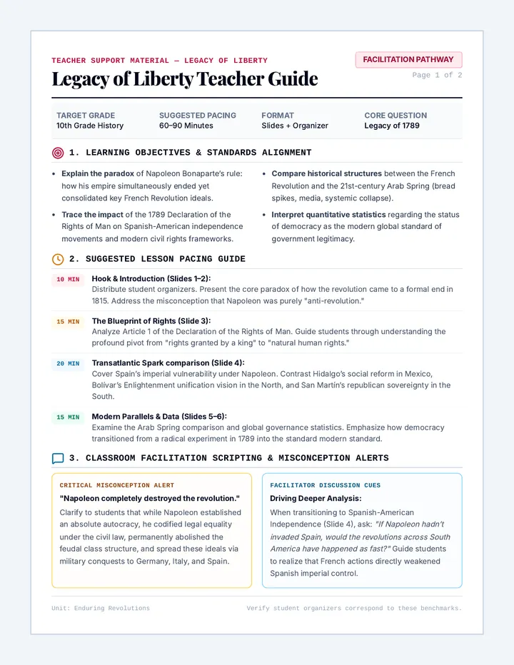
A comprehensive history lesson for 10th-grade students examining the global and modern legacies of the French Revolution. It features interactive slides and a highly organized graphic organizer that covers the end of the revolution, global democratic movements, and modern government statistics.
A revised 2-page rubric and reflection document featuring three updated categories: Accuracy and Content Knowledge (40%), Creativity and Execution (30%), and Professionalism, Respect, and Teamwork (30%), along with a student self-assessment sheet.