50 States (48 Contiguous)
In The Center
The contiguous U.S. is bordered by Canada to the north and Mexico to the south.
Touches Atlantic, Pacific & Gulf
Northwestern State
Alaska is the largest U.S. state by area. It is separated from the lower 48 by Canada!
Color Alaska the same blue color!
Cartographer Check: Shade both the main 48 states AND Alaska in the same blue shade! 🦅 Look for the star ★ at Washington, D.C.!
04
Suggested Color: Green
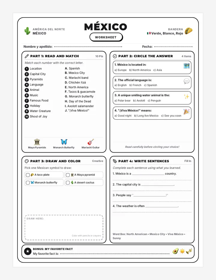
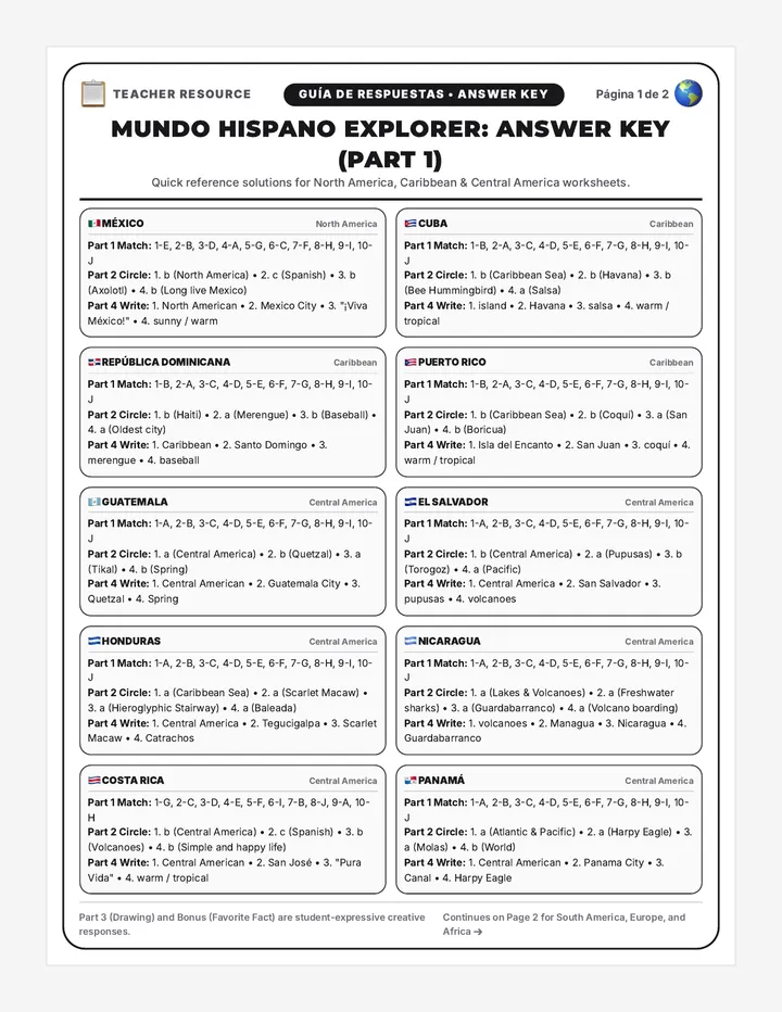
★ Mexico City (CDMX)
One of the world's oldest and highest metropolis cities, built on ancient Tenochtitlan.
Official Language: Spanish
Baja & Yucatan
Baja California is the long finger of land in the west. The Yucatan points northeast into the Caribbean.
Gulf of California lies inside Baja
Central America Link
Mexico borders the U.S. to the north, and shares its southern border with Guatemala and Belize.
31 States + Federal Capital
Cartographer Check: Shade mainland Mexico AND the long Baja California peninsula green! 🌮 Look for the star ★ at Mexico City!
05
Trace Color: Yellow / Orange
The 49th Parallel
From the Pacific Northwest to Minnesota, the border is a straight line following the 49° North line of latitude for over 1,200 miles.
The Great Lakes Water Border
In the east, the border cuts through four of the five Great Lakes (Superior, Huron, Erie, Ontario) and down the St. Lawrence River.
World Record Frontier
The Canada-U.S. boundary (including the 1,538-mile Alaska border) is the longest international border in the world!
Nicknamed: "The Longest Undefended Border" because it has no military patrols or fortifications.
Action on Map: Use a bright yellow or orange pencil to trace the straight 49th parallel line and the Great Lakes border!
06
Trace Color: Purple
The Rio Grande (Río Bravo)
The eastern half of the border is defined by a natural river winding 1,254 miles through deserts and canyons into the Gulf of Mexico.
The Western Desert Line
From El Paso west to San Diego/Tijuana, the border crosses the Colorado River and spans rugged desert terrain until reaching the Pacific Ocean.
Historic Frontier
One of the busiest international borders in the world, connecting major sister cities like San Diego & Tijuana and El Paso & Ciudad Juárez.
Four U.S. States: California, Arizona, New Mexico, and Texas share this international border.
Action on Map: Use a bright purple pencil to trace the border from the Pacific Ocean, through the desert, and along the winding Rio Grande!
07
Coloring Lab Checklist
STEP 1
Fill Canada with red or crimson. Include Vancouver Island & the Arctic islands.
🍁 Ottawa ★
STEP 2
Fill the 48 states and Alaska with blue. Hawaii is in the inset box!
🦅 Washington D.C. ★
STEP 3
Fill Mexico and the Baja California peninsula with green.
🌮 Mexico City ★
STEP 4
Trace the 2 international borders and shade surrounding oceans light blue.
🌊 3 Oceans + Gulf
Ready to investigate? Turn to Page 2 for the Border Detective Activity!
Good Luck, Explorers!
3. Pacific Ocean borders west of all 3: TRUE (T)
4. Ottawa is capital of US: FALSE (F) (It is Washington, D.C.)
1. The "Island Alaska" Myth
Because Alaska is often shown in an inset box near Hawaii, students often assume it is an island. Clarify that it is connected to northwest Canada.
2. Mexico's Continent
Some students mistakenly categorize Mexico as South America. Reiterate that North America includes Canada, the U.S., Mexico, and Central America.
3. Capital City Confusion
Students often guess Toronto or Montreal for Canada, and New York City for the USA. Highlight Ottawa and Washington, D.C. on the slides.
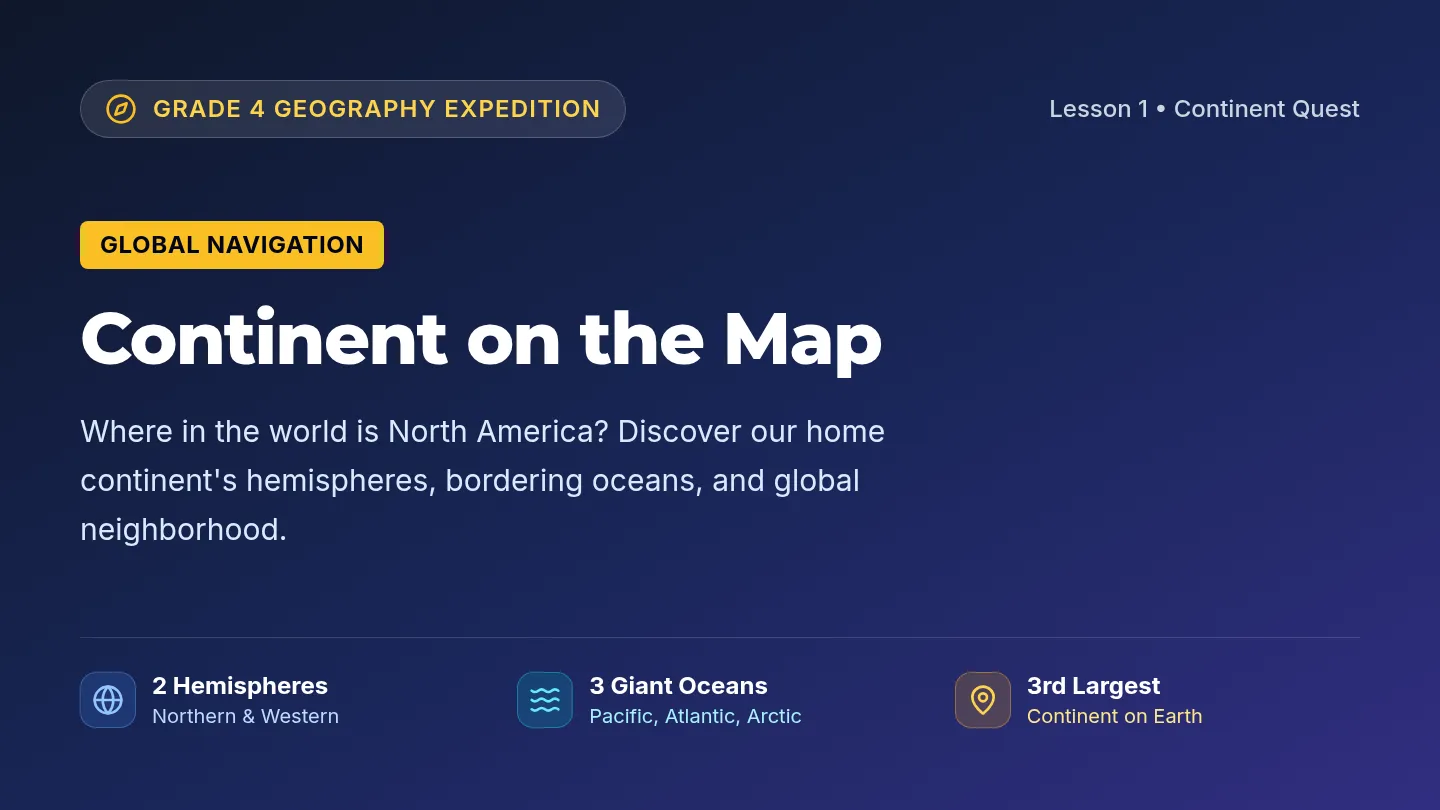
North America Quest • Complete Geography Curriculum Unit Curriculum Standards: NCSS D2.Geo.2.3-5 & 6-8