A collaborative review lesson where students identify and discuss influential historical figures through a 'Who Am I?' game. The lesson emphasizes critical thinking and collective memory about the impact of diverse leaders, activists, and icons.
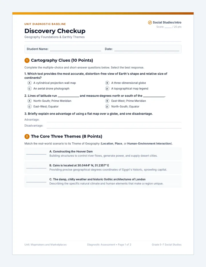
An introductory social studies sequence exploring geography foundations, core geographical themes, and basic economics. Students participate in highly interactive lessons, readings, task cards, and hands-on worksheets.
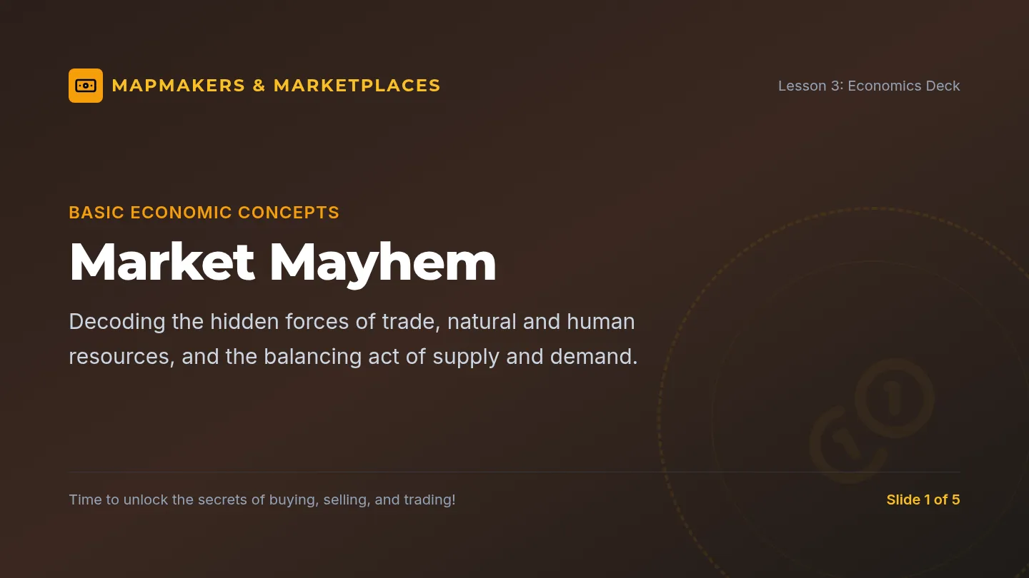
Explores fundamental economic concepts such as trade, natural and human resources, and the balance of supply and demand through simulations and worksheets.
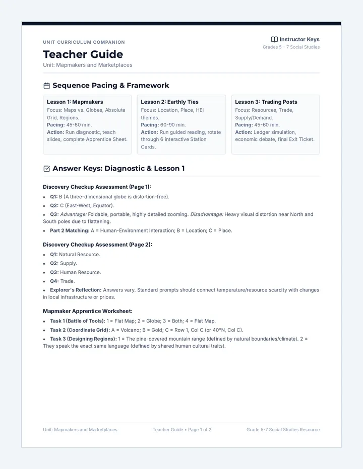
A comprehensive 2-page teacher resource containing lesson plan details, pacing, discussion prompts, and answer keys for the worksheets and pre-assessments.
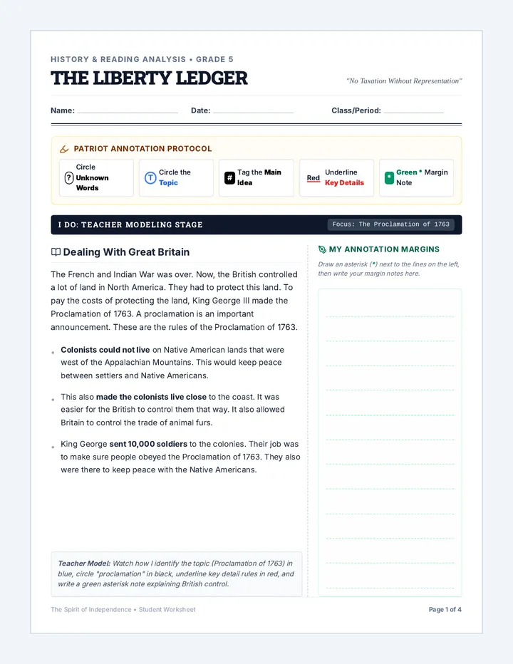
A fifth-grade social studies and active reading unit exploring the growing friction between Great Britain and the American colonies, focusing on the causes, consequences, and motivated actions that led to the American Revolution.
Introduces three major themes of geography: Location, Place, and Human-Environment Interaction. Includes station task cards and guided reading passages.
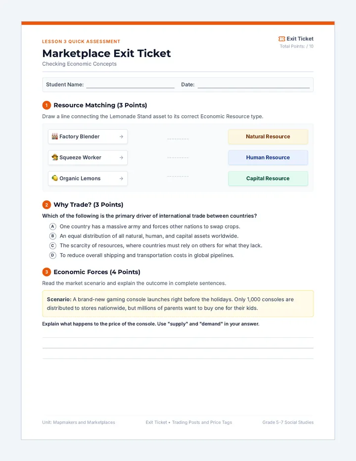
A quick diagnostic exit ticket checking student comprehension of resources, trade, and supply and demand dynamics before concluding the unit.
An immersive 3rd-grade Project-Based Learning unit where students act as museum curators to design and exhibit a living history museum, answering the driving question: How did where colonist lived shape how they lived?
Students explore the differences between maps and globes, understand coordinate grids, and explore world regions. Includes a comprehensive diagnostic pre-assessment.
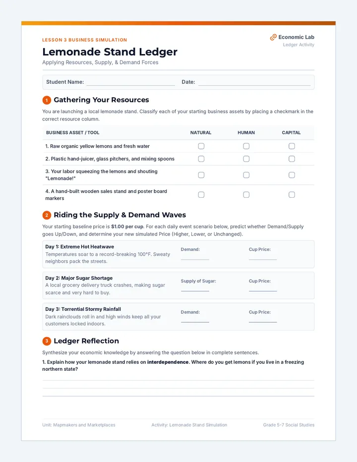
A hands-on student activity ledger simulating a lemonade stand to practice resource categorization and analyze real-world supply and demand shifts. Designed with clean student writing spaces.
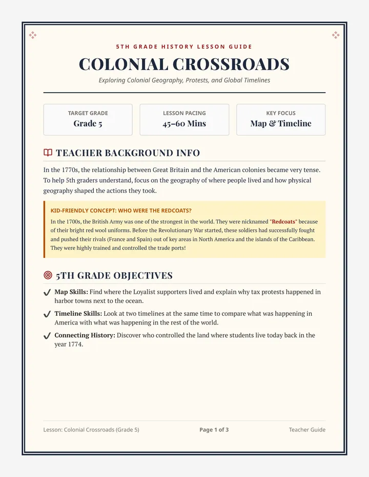
A foundational lesson exploring the geography of the American Revolution, comparing domestic colonial protests with global historical events, and analyzing the spatial distribution of Loyalists and British territory.
An educational 5-slide presentation demonstrating fundamental economic principles: natural vs. human vs. capital resources, trade, and the dynamics of supply and demand. Designed with rich content and bold text.
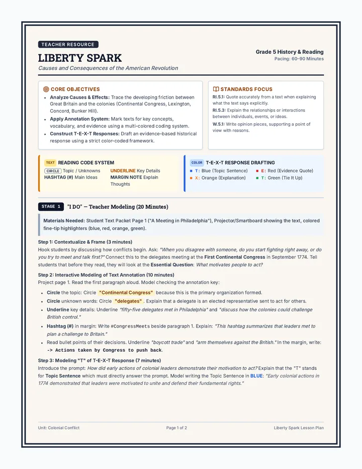
A fifth-grade history and reading lesson focusing on the causes, events, and consequences of the early American Revolution (from the First Continental Congress to the Battle of Bunker Hill and the division between Patriots and Loyalists). Students apply a precise multi-colored annotation strategy and the T-E-X-T written response framework through a structured Gradual Release of Responsibility (I Do, We Do, You Do) process.