Students will explore the geographic requirements of cultural hearths, identify seven major global hearths, and analyze how physical features like water and natural defenses facilitated early civilization development.
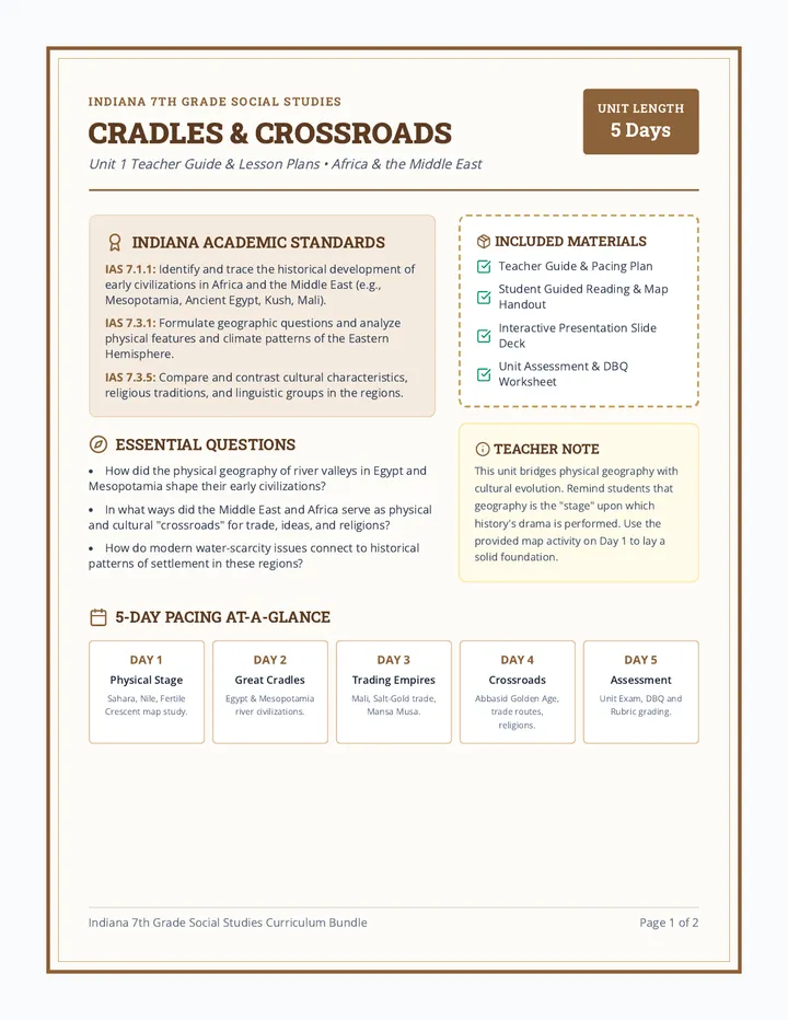
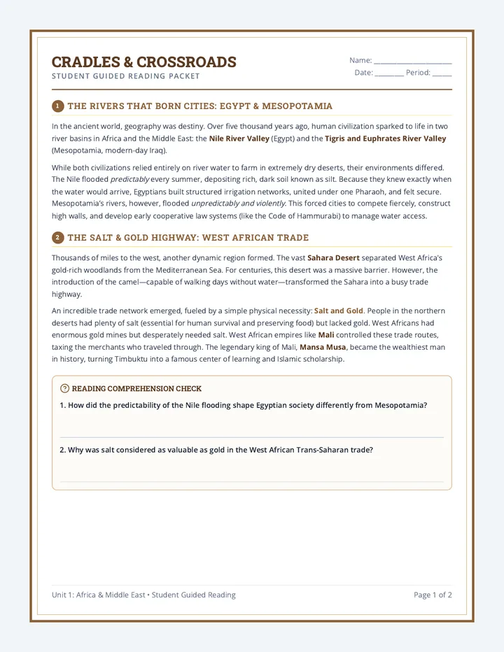
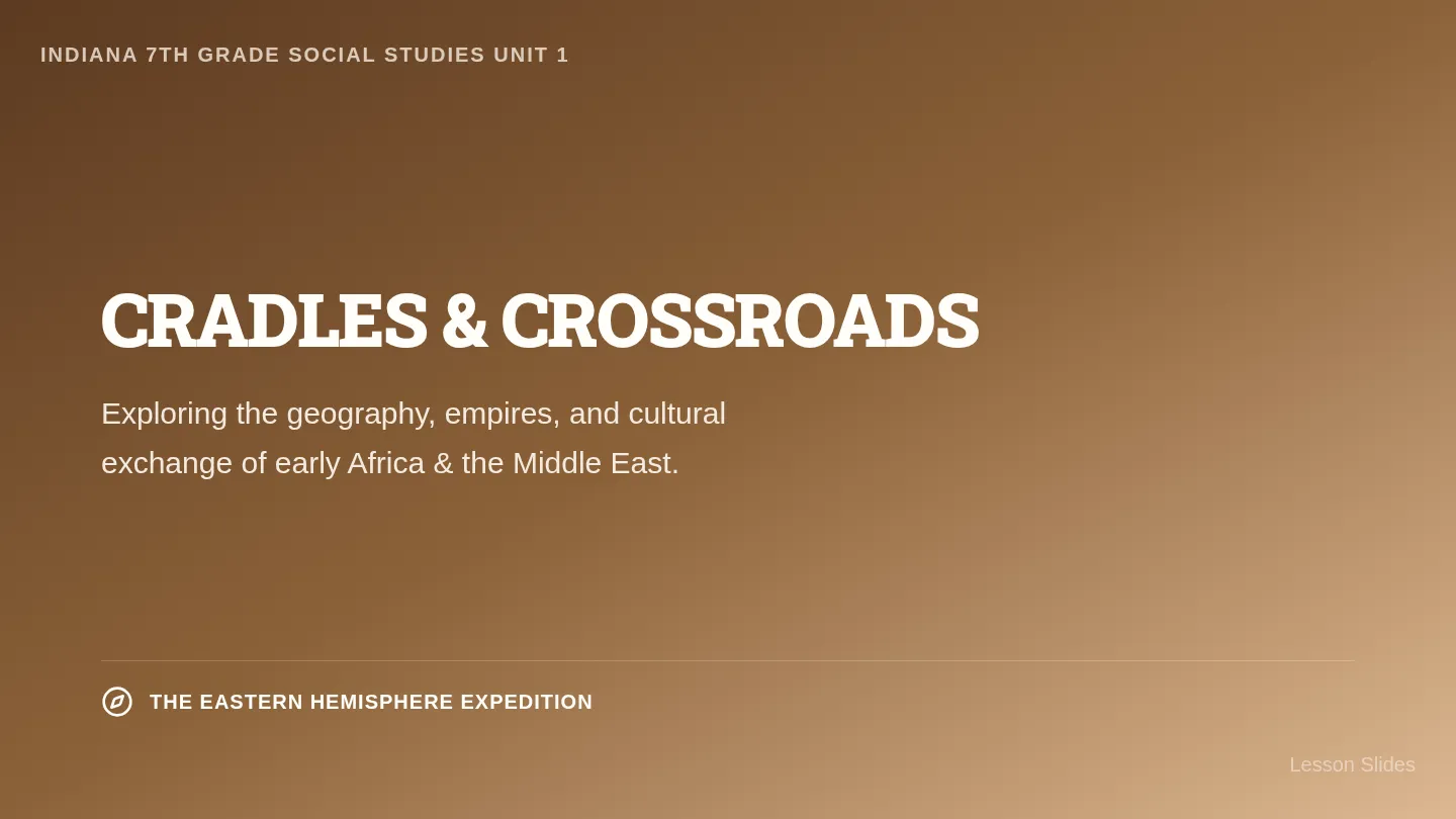
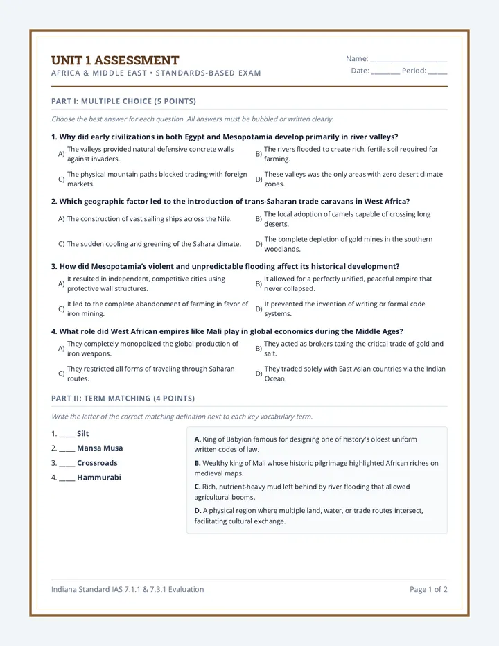
A comprehensive 7th-grade social studies curriculum sequence focused on the Eastern Hemisphere (Africa, Middle East, Asia, and the Pacific). This standards-aligned sequence includes detailed teacher lesson plans, student guided reading and worksheets, interactive presentation slides, and rigorous assessments with DBQs.
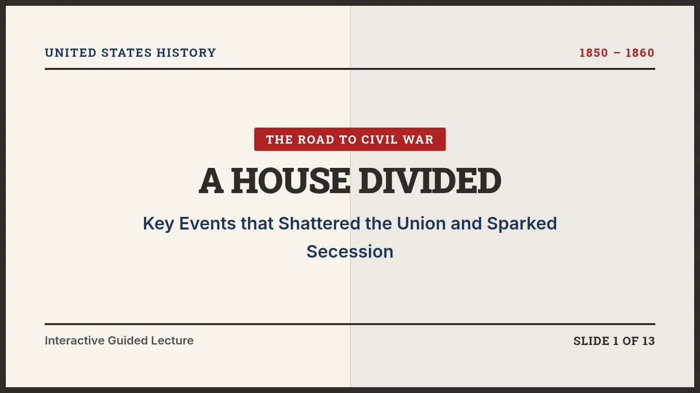
An interactive, visual slide deck exploring the key events from 1850 to 1860 that led to the American Civil War, including the Compromise of 1850, Uncle Tom's Cabin, the Kansas-Nebraska Act, the Dred Scott Decision, John Brown's Raid, and the Election of 1860.
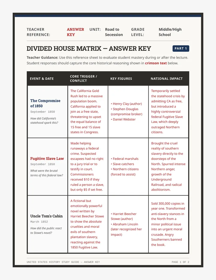
A printable 2-page teacher reference answer key for the Divided House Matrix, with detailed historical answers for causes, figures, and national impacts of the 1850s flashpoints.
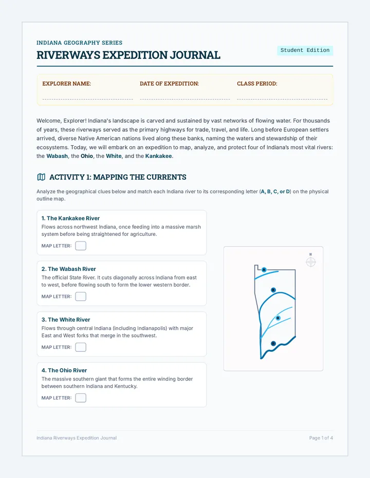
A comprehensive study of Indiana's four major rivers: the Wabash, Ohio, White, and Kankakee. Students explore their historical significance to Native Americans, their ecological roles, and modern conservation efforts through reading passages, mapping, and a comparative study guide.
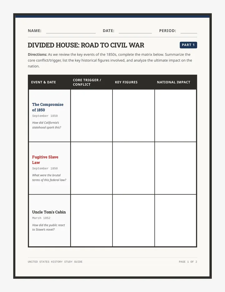
A printable 2-page graphic organizer matrix for students to track the causes, key figures, and political impacts of the six major flashpoints leading to the Civil War. Designed to accompany the lecture slides.
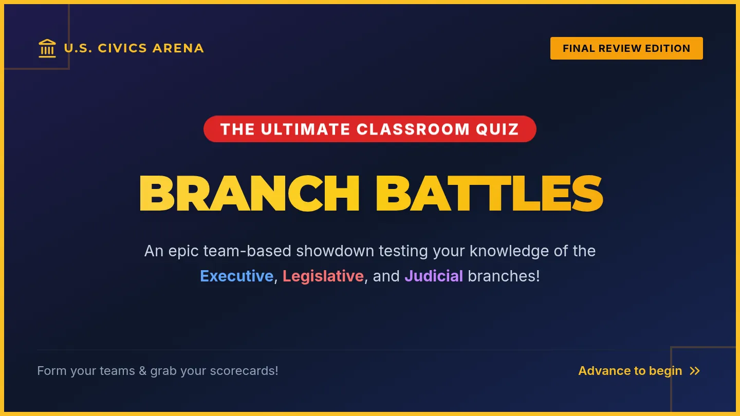
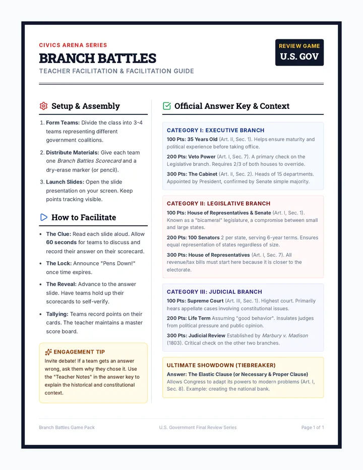
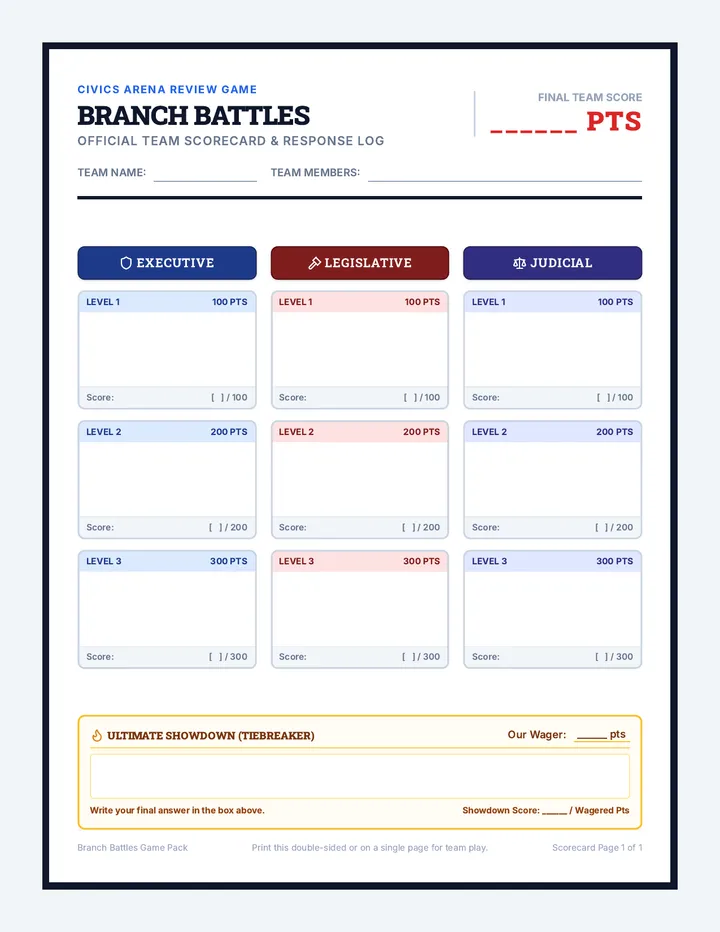
A high-energy team review game covering the Executive, Legislative, and Judicial branches of the US government. Includes a game-show style presentation, a teacher facilitation guide with rules and answer keys, and a student scoreboard sheet for active participation.
An interactive, beautifully themed slide deck summarizing the key events on the Road to Secession (1850-1860). Features bold historical layouts, high-contrast typography, and strict 24px+ readable text for the classroom.
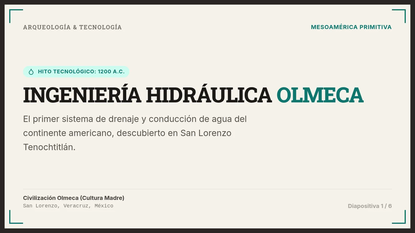
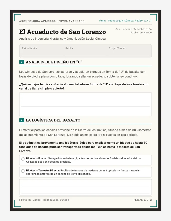
Una lección interactiva e ilustrada sobre el primer sistema de drenaje de América, desarrollado por la civilización Olmeca en San Lorenzo Tenochtitlán. Analiza la planificación urbana, la talla de canales de basalto, la logística de transporte y el propósito ceremonial y práctico de esta red hidráulica de más de 3,000 años de antigüedad.
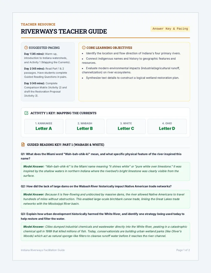
A 2-page teacher facilitation guide and complete answer key for the Riverways Student Expedition Journal. Includes step-by-step lesson pacing, background information, full mapping answer keys, comprehensive guided reading model answers, a fully populated comparison matrix, and a rubric/sample response for the conservation challenge.