A middle school American History and Ethics lesson where students use 'Would You Rather' scenarios to practice logical and emotional appeals. Students work individually to form arguments before engaging in group debates to reach a consensus.
A comprehensive 6th-grade social studies unit exploring the trajectory of human history, from nomadic hunter-gatherers and the cognitive evolution of early humans, to the agricultural revolution, and finally the development of structured ancient governments.
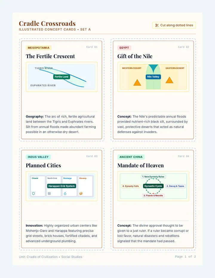
A lesson exploring the four major River Valley Civilizations (Mesopotamia, Ancient Egypt, Indus Valley, and Ancient China) through illustrated flashcards, active classroom games, and a conceptual study worksheet.
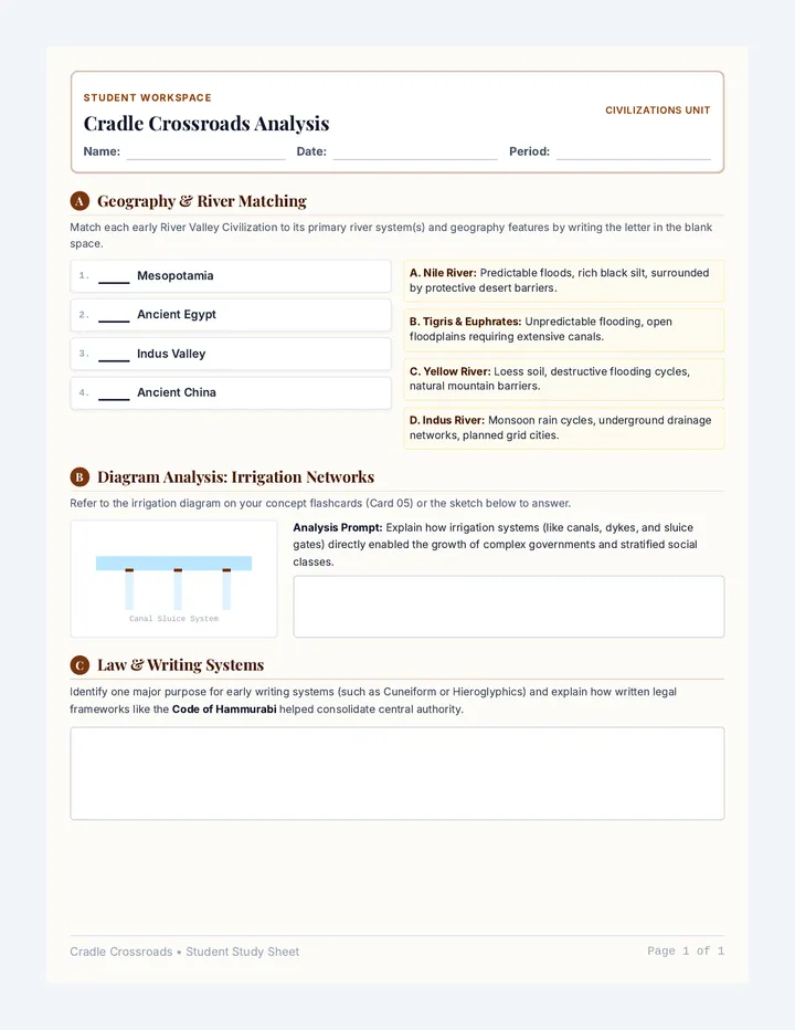
A conceptual matching and structured analysis worksheet for students to consolidate physical, social, and technological structures of early River Valley Civilizations.
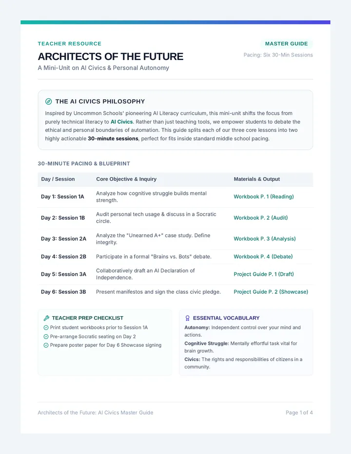
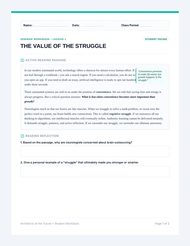
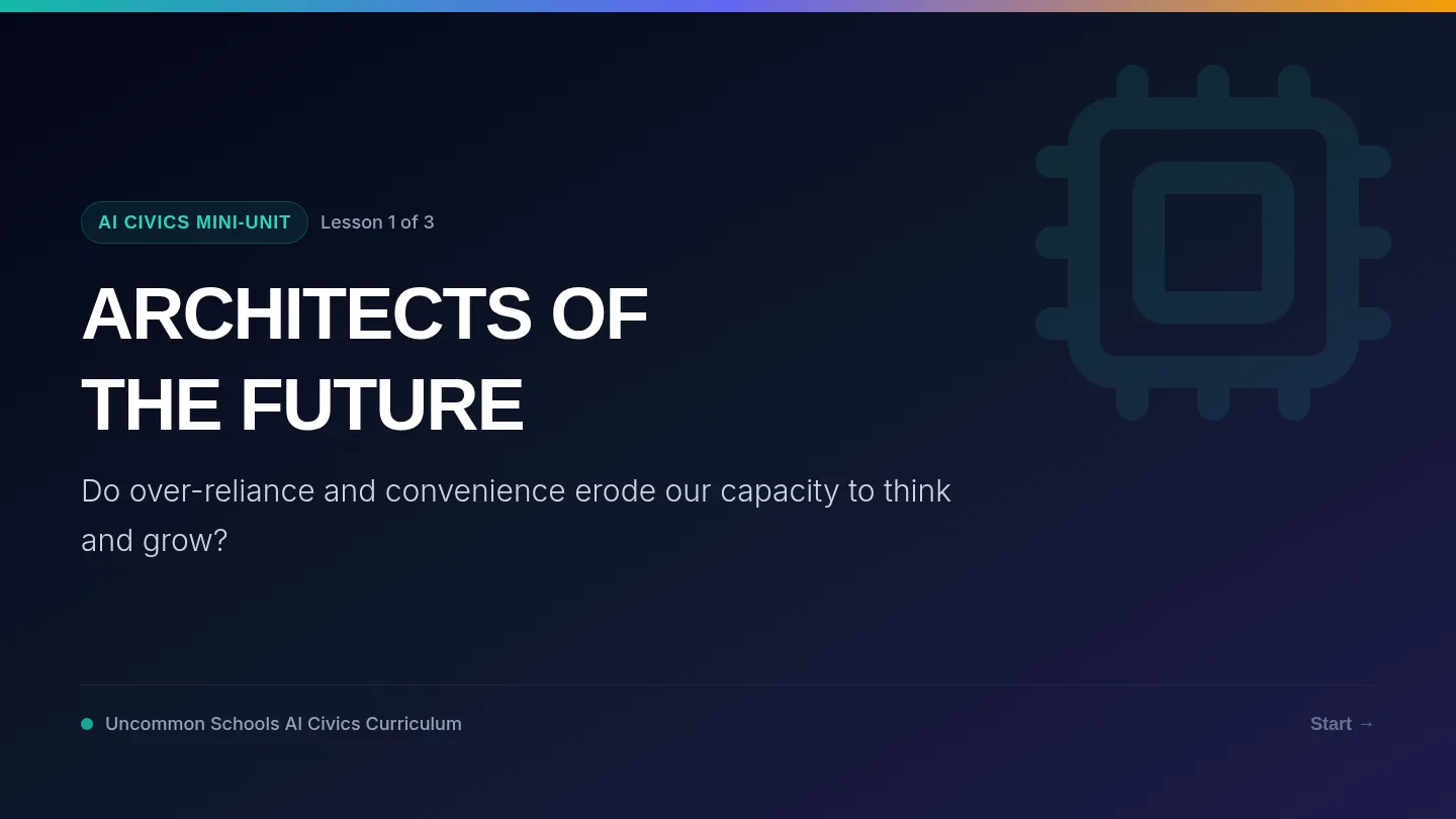
A middle school mini-unit on AI civics, empowering students to think critically about autonomy, convenience, and human potential. Inspired by Uncommon Schools' pioneering AI Literacy curriculum, students debate the role of technology and craft their own Civic Declarations.
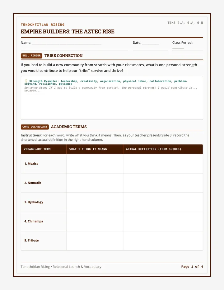
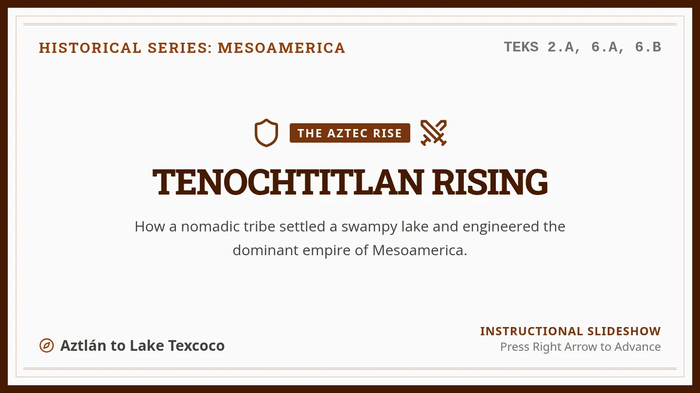
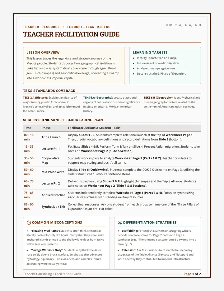
A comprehensive lesson exploring how the Mexica migrated from Aztlán, settled in the Valley of Mexico, and leveraged geography, agriculture, and military strategies to build the Aztec Empire. This lesson includes interactive presentation slides, a graphic organizer worksheet for student analysis, and a detailed teacher facilitation guide.
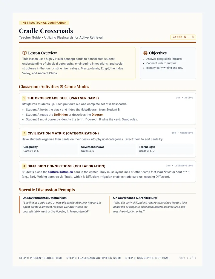
A comprehensive instructional guide for teachers outlining creative classroom games, pacing, retrieval practice activities, and discussion prompts using the Cradle Crossroads Flashcards.
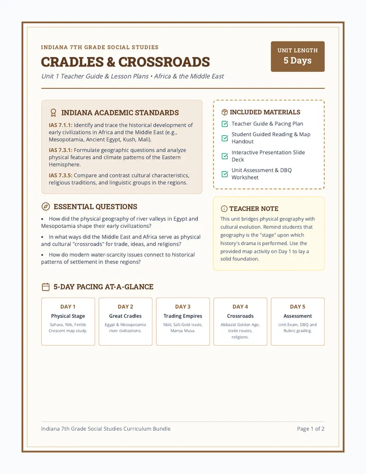
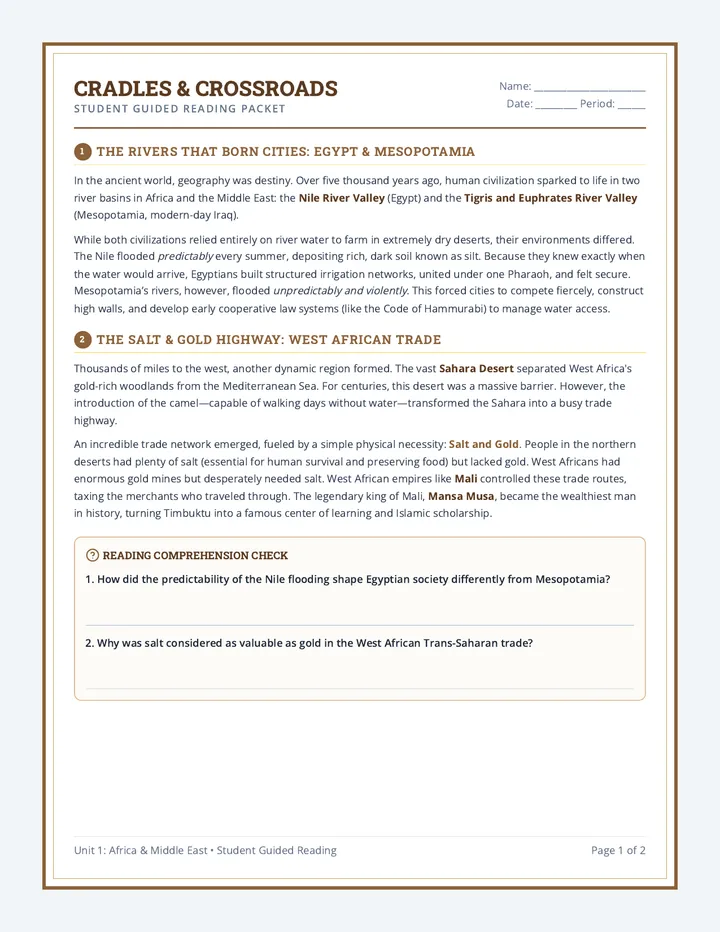
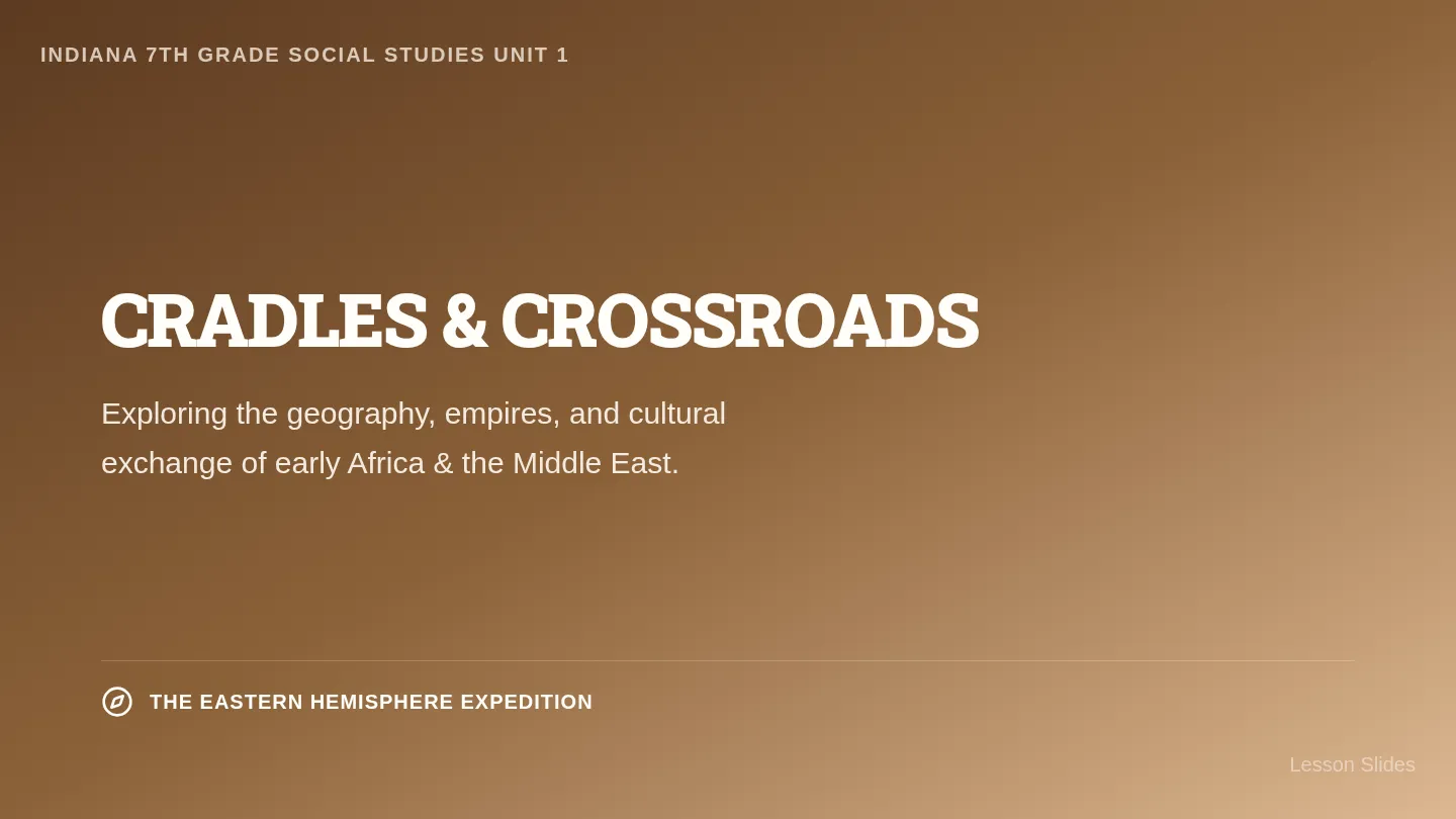
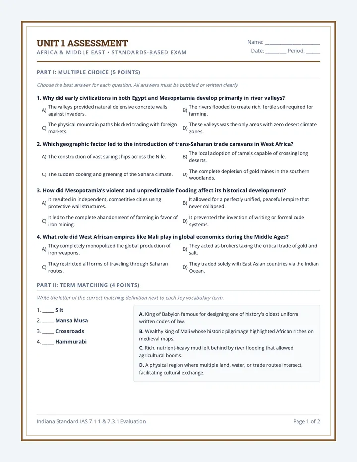
A comprehensive 7th-grade social studies curriculum sequence focused on the Eastern Hemisphere (Africa, Middle East, Asia, and the Pacific). This standards-aligned sequence includes detailed teacher lesson plans, student guided reading and worksheets, interactive presentation slides, and rigorous assessments with DBQs.
A set of 8 premium printable illustrated flashcards highlighting key concepts, maps, and structures of the ancient river valley civilizations. Designed with scissor cutlines and clear educational diagrams.
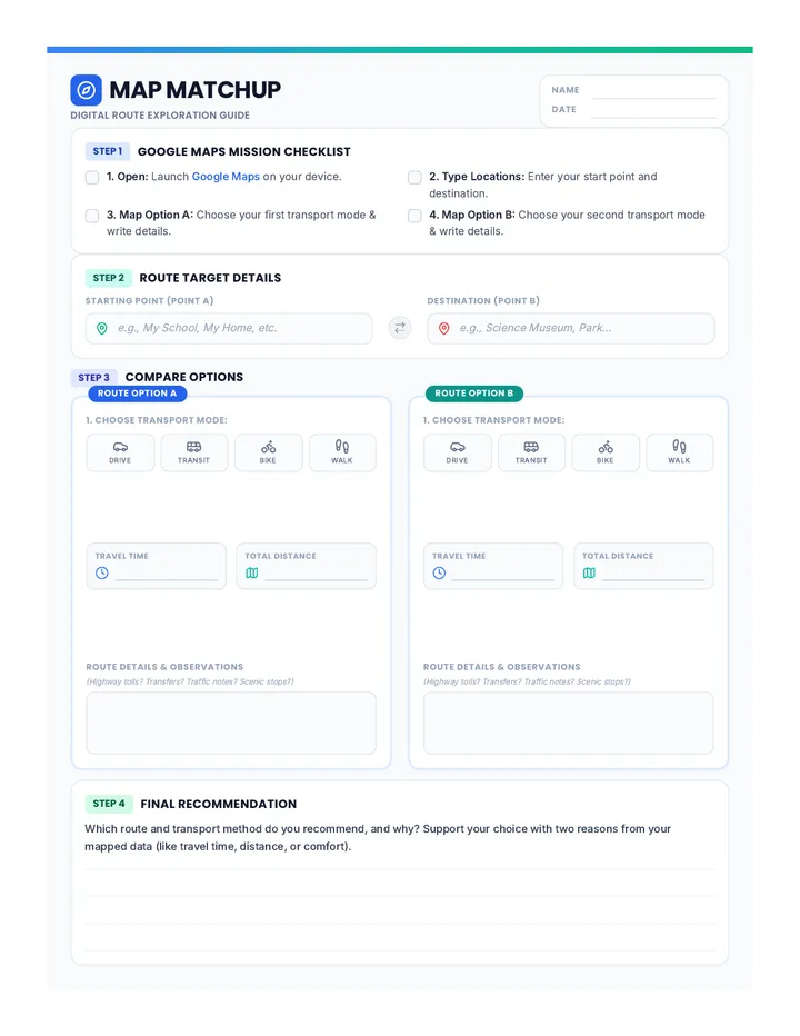
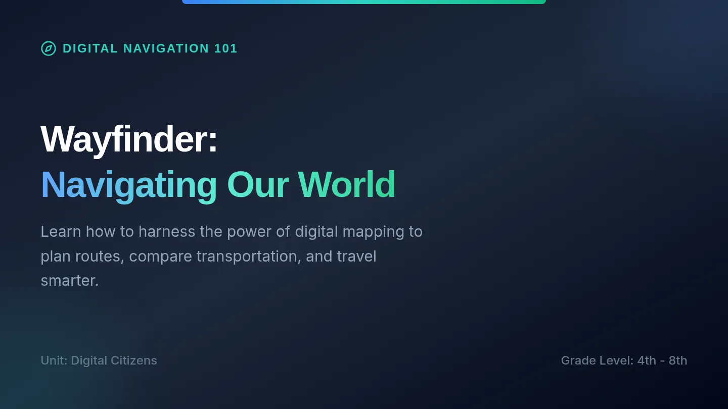
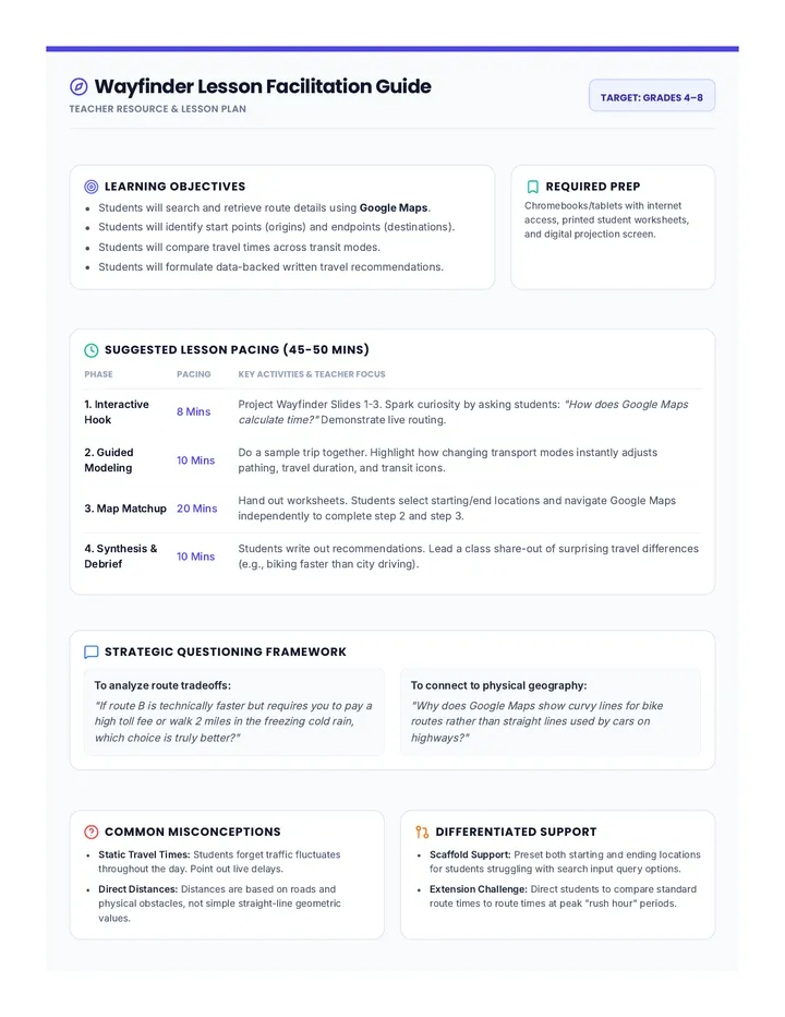
An introductory lesson on using digital mapping tools like Google Maps to plan routes, compare transportation options, and analyze travel times.
A two-page printable teacher facilitation guide detailing TEKS alignment, a minute-by-minute pacing plan, instructional strategies, common misconceptions, slide facilitation scripts, and a complete worksheet answer key (including the new vocabulary bell ringer page).
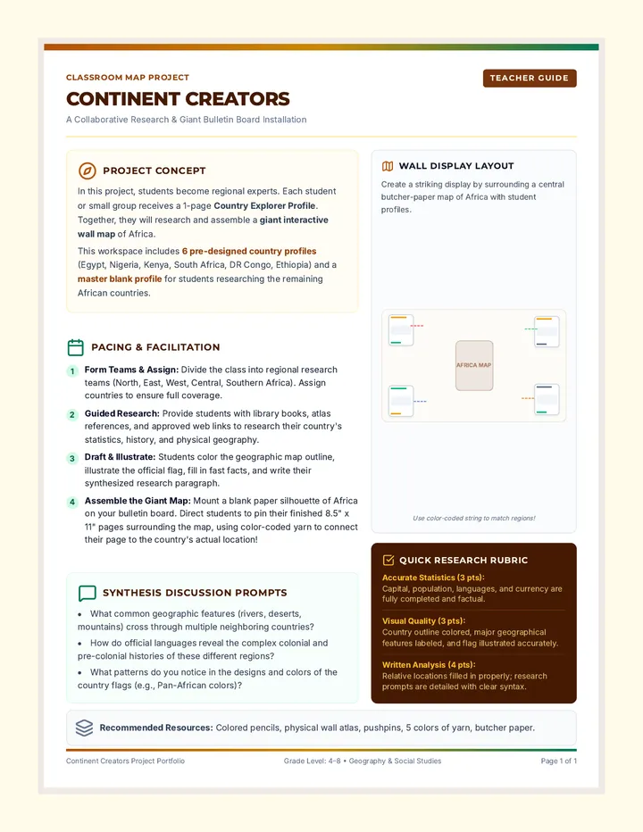
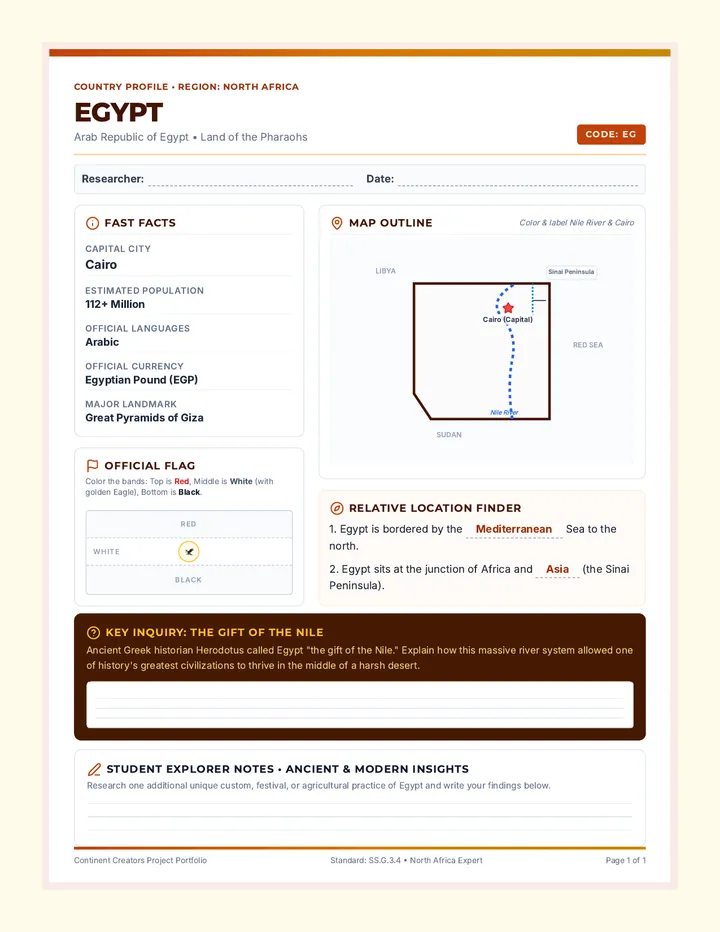
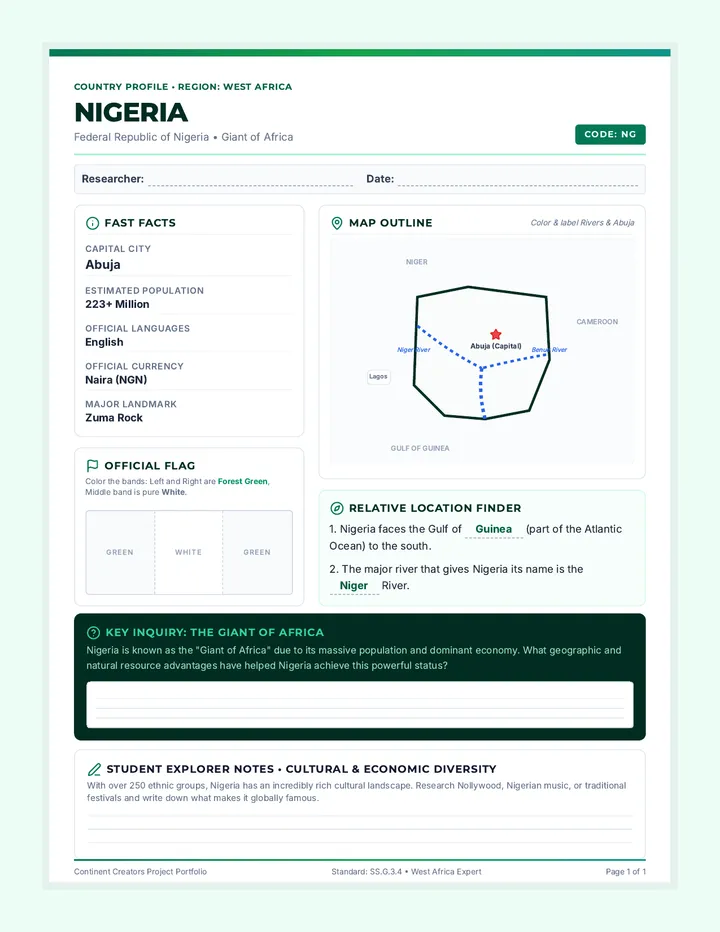
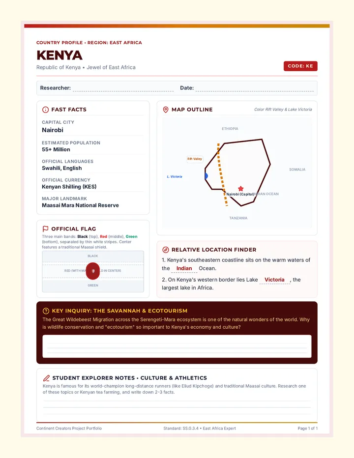
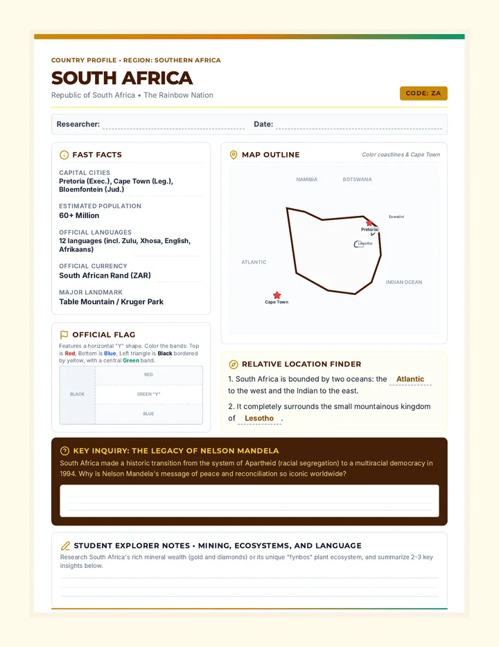
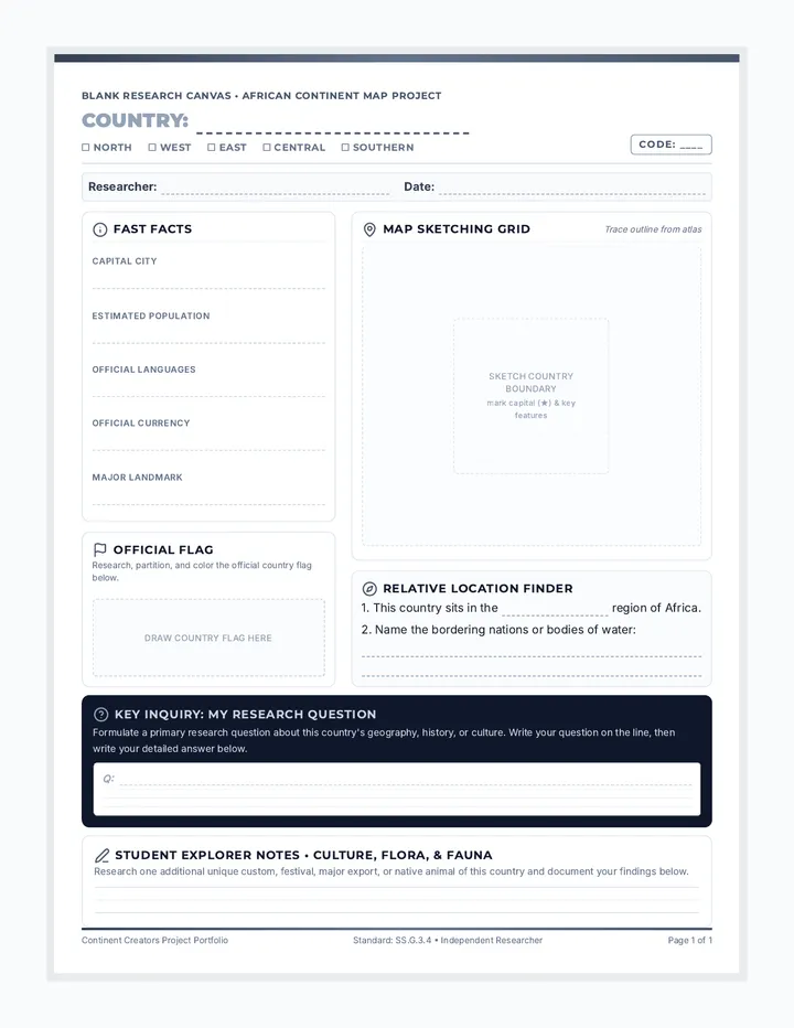
A collaborative classroom research project where students profile African countries to build a giant interactive wall map and bulletin board display. Includes ready-to-print profiles for key regional anchor countries and a matching blank research template for all other countries.