An interactive, geography-focused lesson about ancient Mesopotamia, exploring how the Tigris and Euphrates rivers, climate, and irrigation shaped the world's first civilization.
A foundational geography sequence introducing primary students to map elements, cardinal directions, and scale. It features dual-level resources—highly visual low-verbal materials and interactive medium-level reading materials—along with visual slides and hands-on center task cards.
A playful and bright exploration of life during the Stone Age, covering early humans, ice age giants, and ancient cave art. Students discover how prehistoric people survived and created through engaging visual slides and cooperative activities.
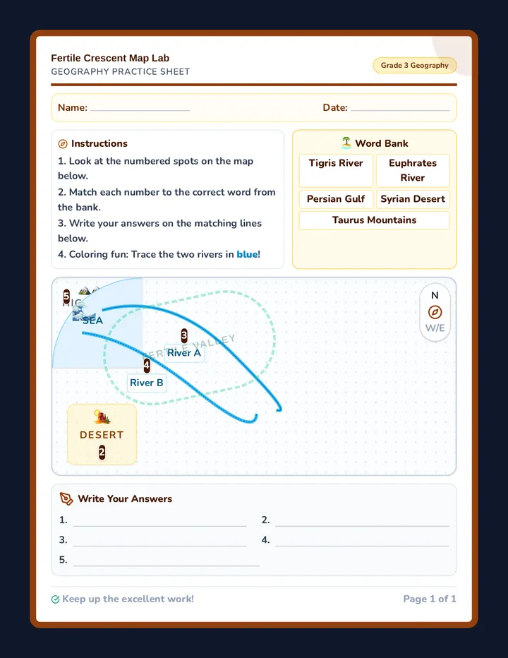
A printable physical map activity for students to identify and label the Tigris and Euphrates rivers, the Persian Gulf, and surrounding deserts.
An immersive 3rd-grade Project-Based Learning unit where students act as museum curators to design and exhibit a living history museum, answering the driving question: How did where colonist lived shape how they lived?
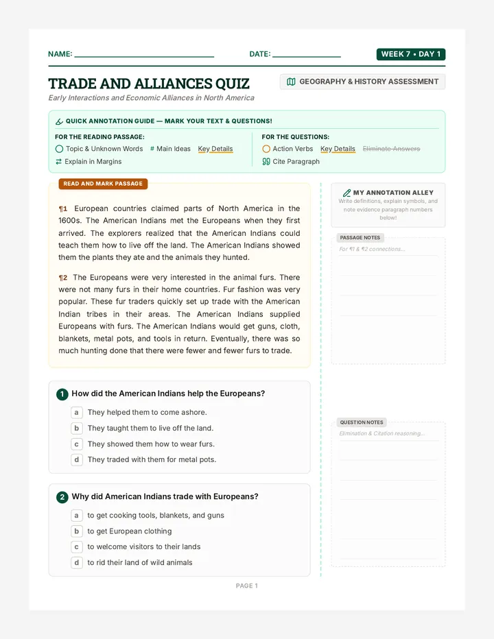
A high-quality assessment lesson on the early interactions and trade relations between European explorers and American Indians, incorporating strong literacy strategies like active annotation and the T-E-X-T writing framework.
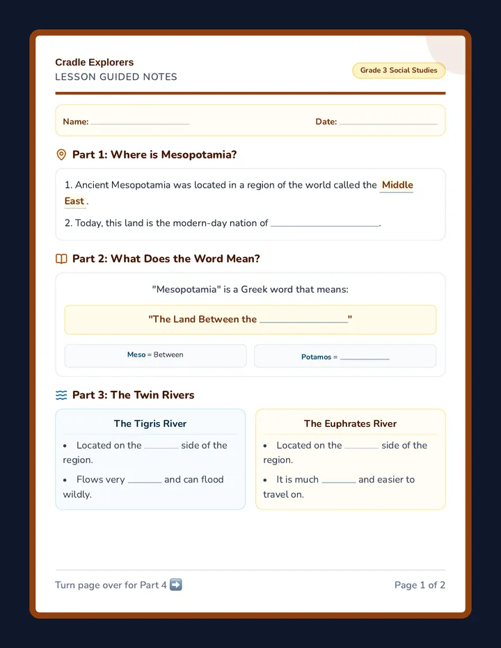
A printable fill-in-the-blank vocabulary and comprehension guide for 3rd-grade students to track key concepts during the Mesopotamia lesson.
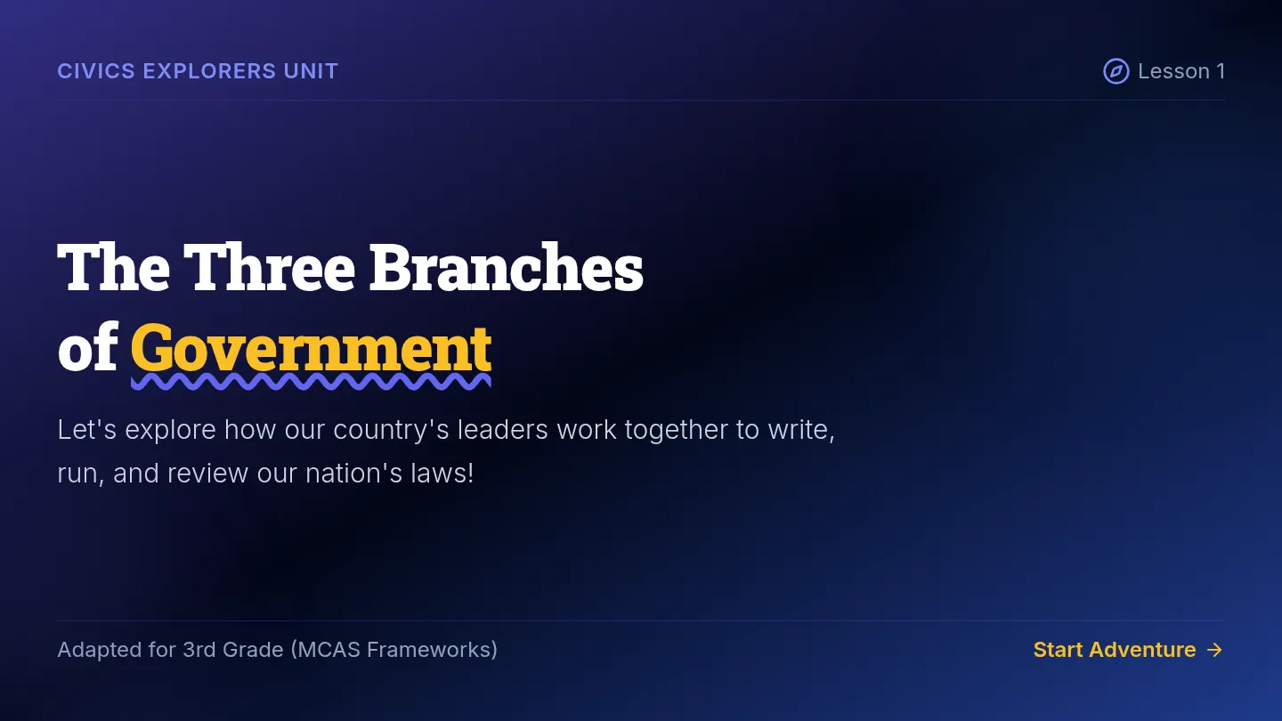
An adapted social studies unit combining middle school MCAS Geography and Civics frameworks with supportive, highly visual 3rd-grade level learning materials. Includes simplified reading passages, interactive slides, scaffolded worksheets, and modified assessments.
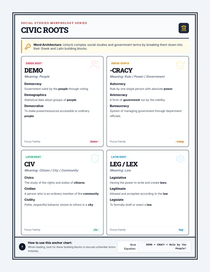
A social studies lesson exploring civics, citizenship, and forms of government through structural morphology (roots and affixes) and highly visual, illustrative anchor charts.
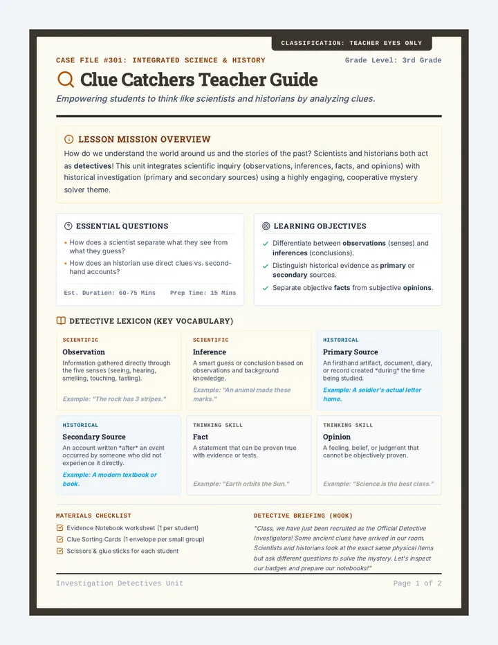
A comprehensive, integrated science and social studies lesson where students act as 'Investigation Detectives'. They learn to analyze evidence using scientific skills (observations, inferences, facts, and opinions) and historical methods (primary and secondary sources).
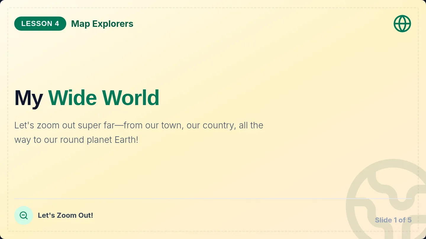
An exploration of scale zooming out from town, country, to the entire globe. Includes visual nesting activities and place-identification worksheets.