This sequence guides 4th-grade students through the origins, leadership, and pivotal moments of the American Civil War, emphasizing regional differences, the causes of secession, and the human experience of the conflict.
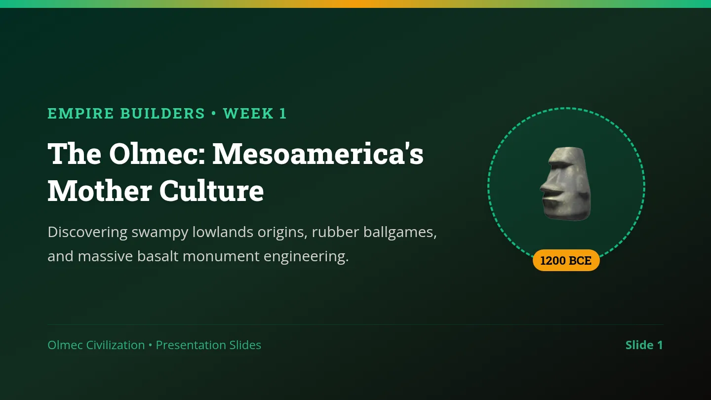
A comprehensive 4th-grade social studies unit where students analyze the Olmec, Maya, Aztec, and Inca civilizations. Through primary-source-style document analysis, geographical exploration, and civic action, students discover what made these empires successful and apply ancient engineering solutions to improve the modern City of Surprise.
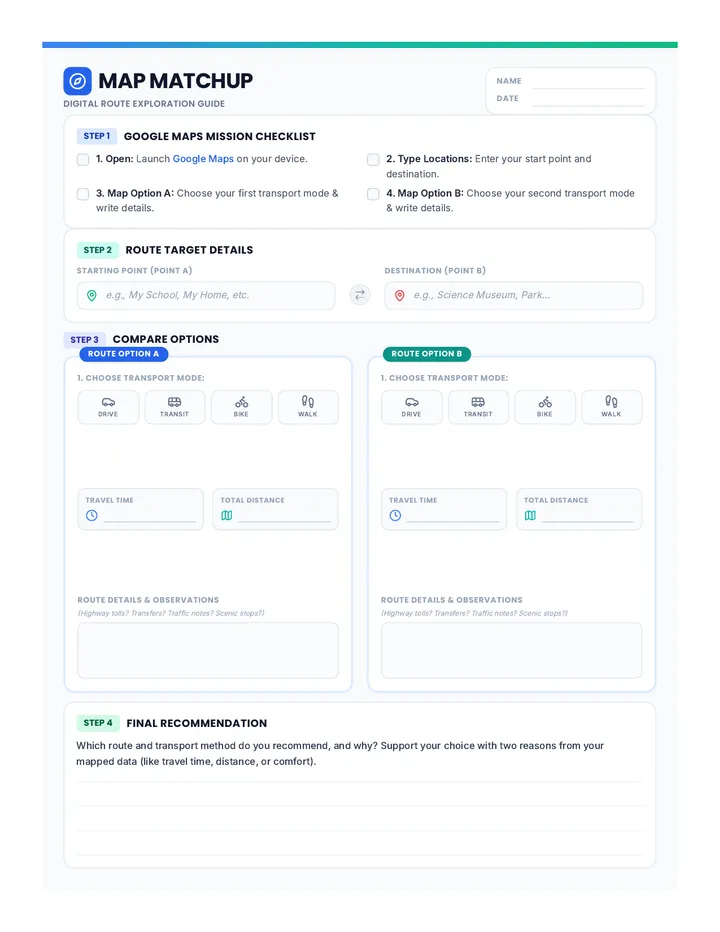
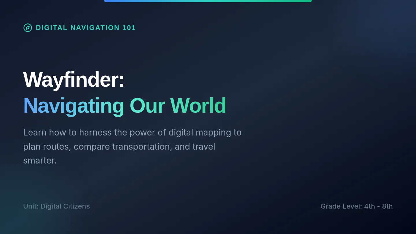
An introductory lesson on using digital mapping tools like Google Maps to plan routes, compare transportation options, and analyze travel times.
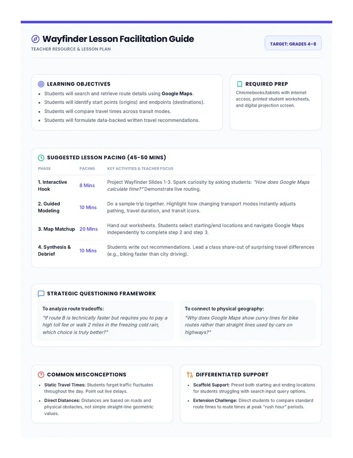
A concise, practical single-page teacher resource containing step-by-step facilitation instructions, pacing suggestions, key discussion prompts, common student misconceptions, and targeted differentiation ideas.
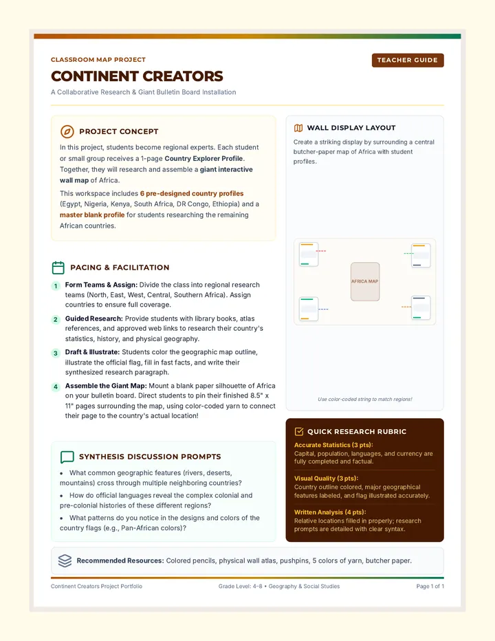
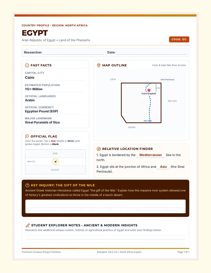
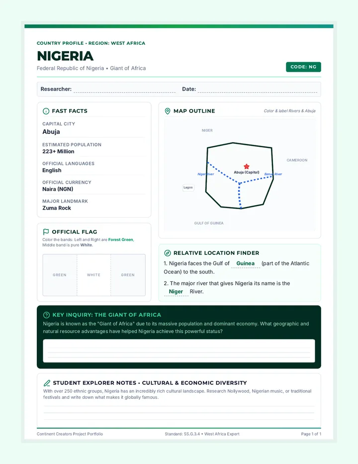
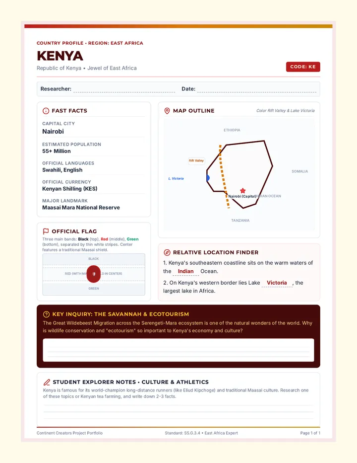
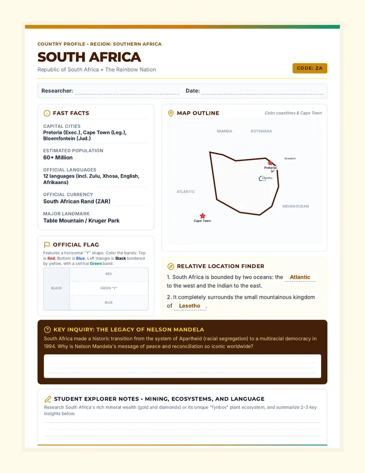
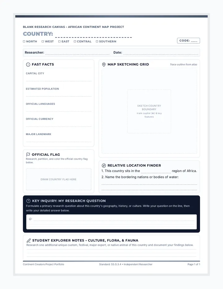
A collaborative classroom research project where students profile African countries to build a giant interactive wall map and bulletin board display. Includes ready-to-print profiles for key regional anchor countries and a matching blank research template for all other countries.
Engaging presentation slides for teachers to guide students through the Map Matchup lesson. It introduces key digital mapping concepts (origin, destination, routes), demonstrates Google Maps controls, and facilitates discussion on transportation tradeoffs.
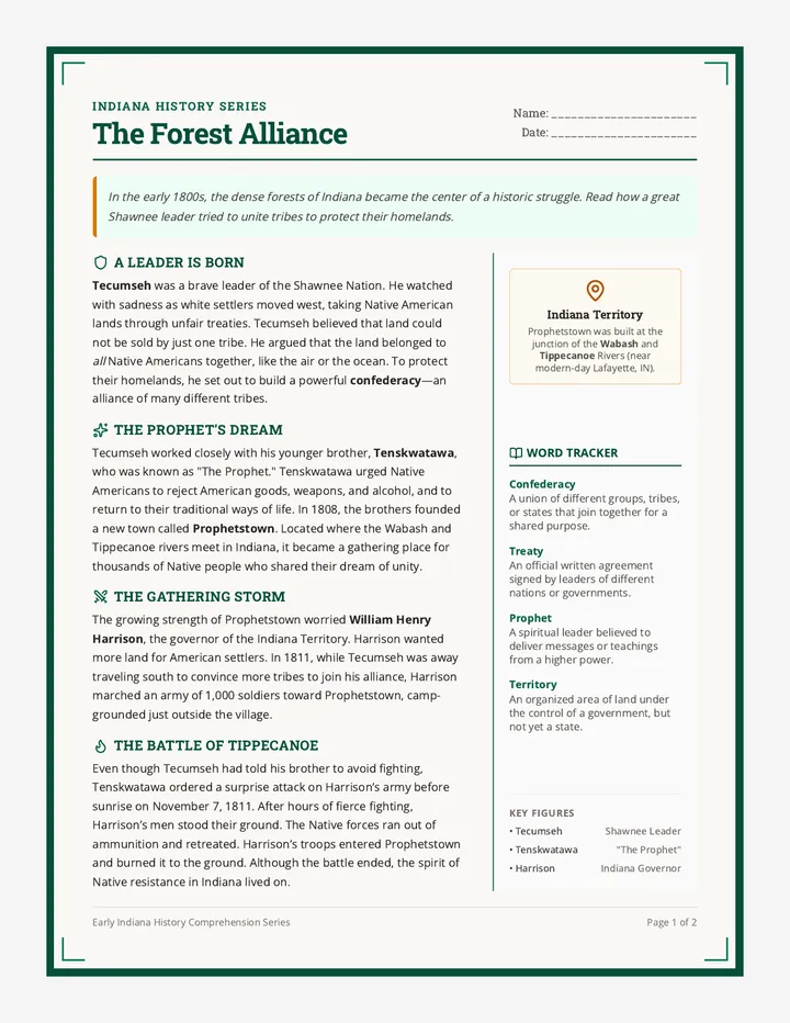
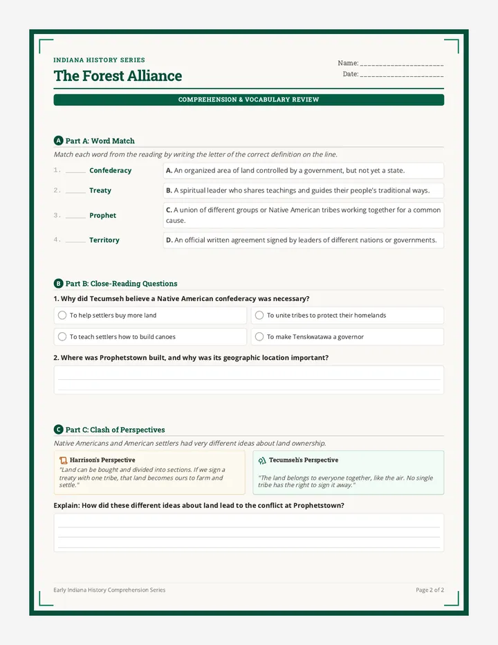
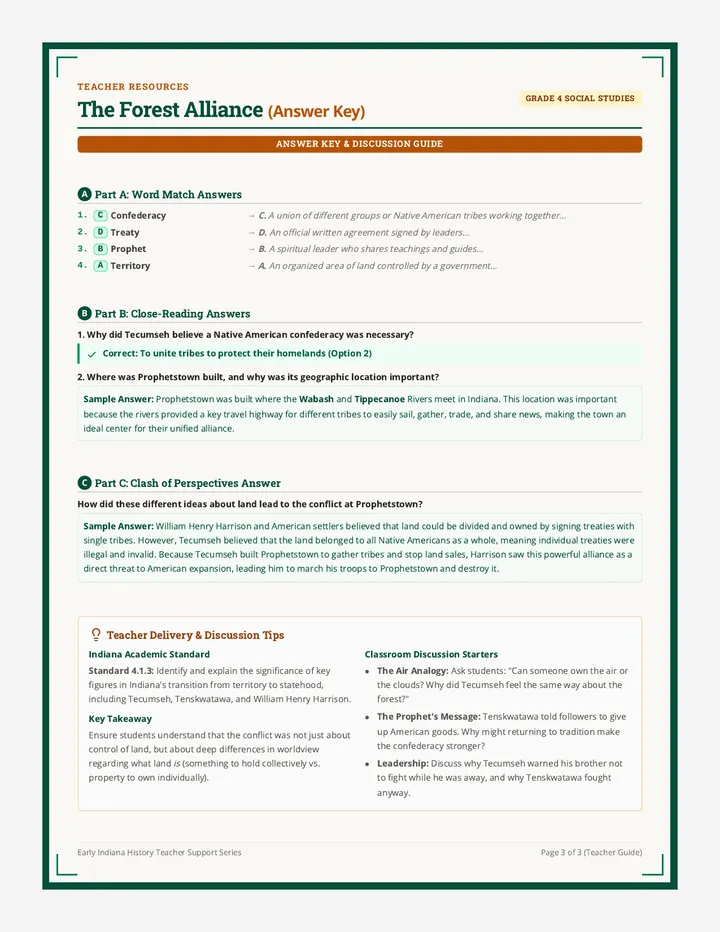
A 4th-grade history lesson exploring Tecumseh's alliance, Tenskwatawa's teachings, the establishment of Prophetstown, and the clash with William Henry Harrison at the Battle of Tippecanoe in Indiana.
A beautifully styled digital navigation planning worksheet for elementary or middle school students to plan, map, and compare two different travel options using Google Maps. This printable document includes a clear step-by-step checklist, custom icons for transport modes, and a dedicated reflection section.