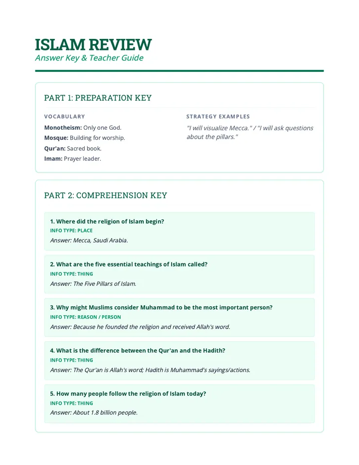
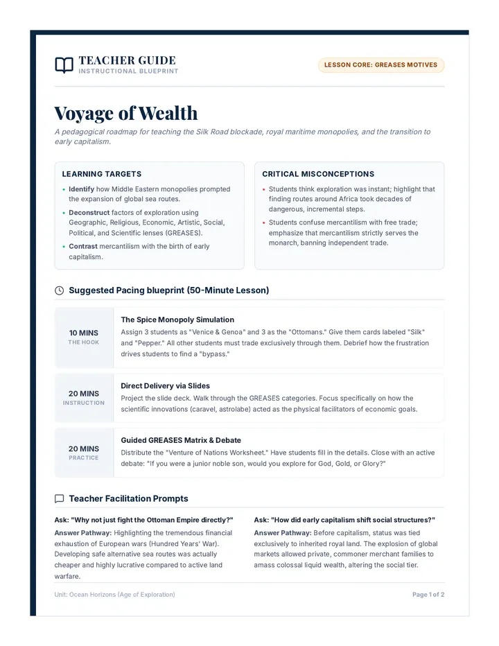
Map Myths Teacher Guide
Teacher facilitation guide and answer key for the Map Myths lesson, including a lesson timeline, discussion prompts, and a master sorting key.
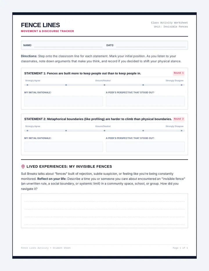
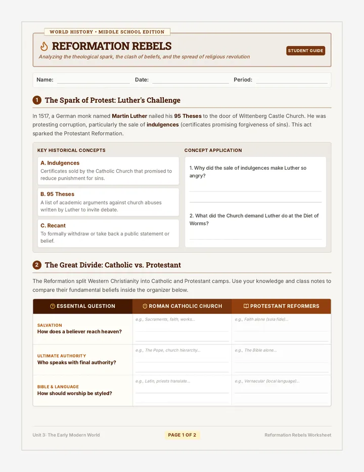
Map Myths Worksheet
Student activity handout including a warm-up map challenge, video analysis section, regional sorting table, and a color-coding legend for the master map.
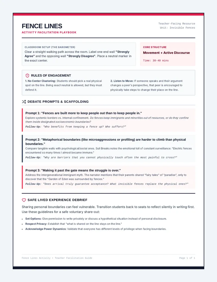
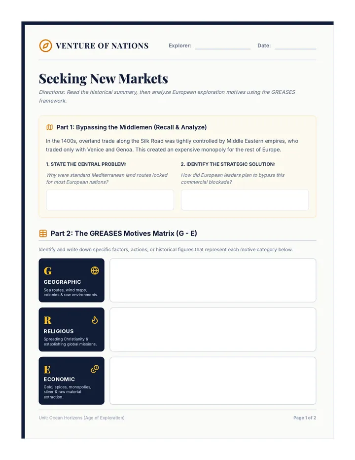
Country Sorting Cards
Printable country sorting cards for students to cut out and categorize into sub-regions. Includes major countries from North, Central, and South America, as well as the Caribbean.
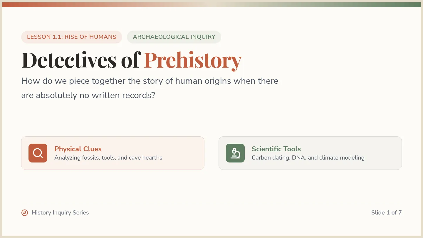
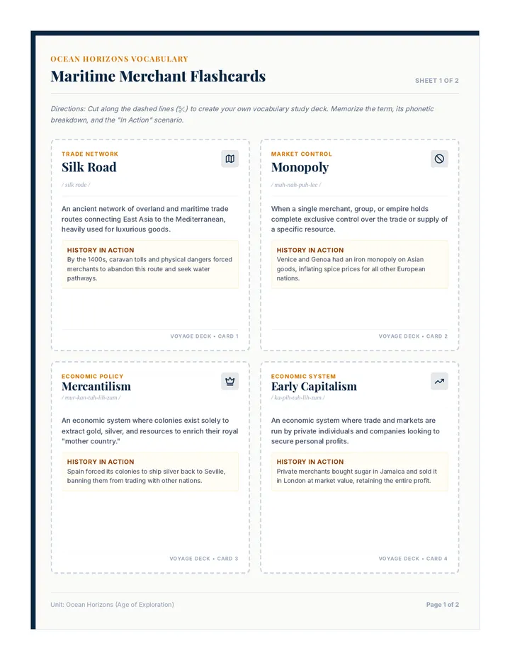
Map Myths Presentation Slides
Visual presentation for the Map Myths lesson, featuring warm-up prompts, the embedded YouTube video, activity instructions, and key summary statistics to debunk regional misconceptions.
Blank Latin America Map Worksheet
A dedicated blank map of Latin America designed for the color-coding activity. Includes simplified outlines of North America (Mexico), Central America, South America, and the Caribbean islands.