A hands-on introduction to spatial awareness where Kindergarten students learn to define a 'route' and create their own simple classroom maps to navigate from one spot to another.
A 30-day PBL journey where kindergarteners become school experts, exploring roles, comparing spaces, and mapping routes to produce a professional video tour for new students.
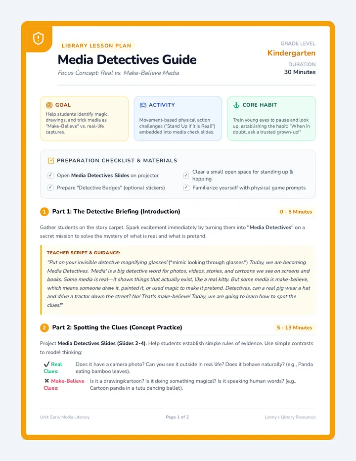
A 30-minute media literacy lesson designed for Kindergarten library sessions. Students learn to distinguish between real-life photos/videos and make-believe media through interactive, movement-based games, reinforcing critical viewing habits from an early age.
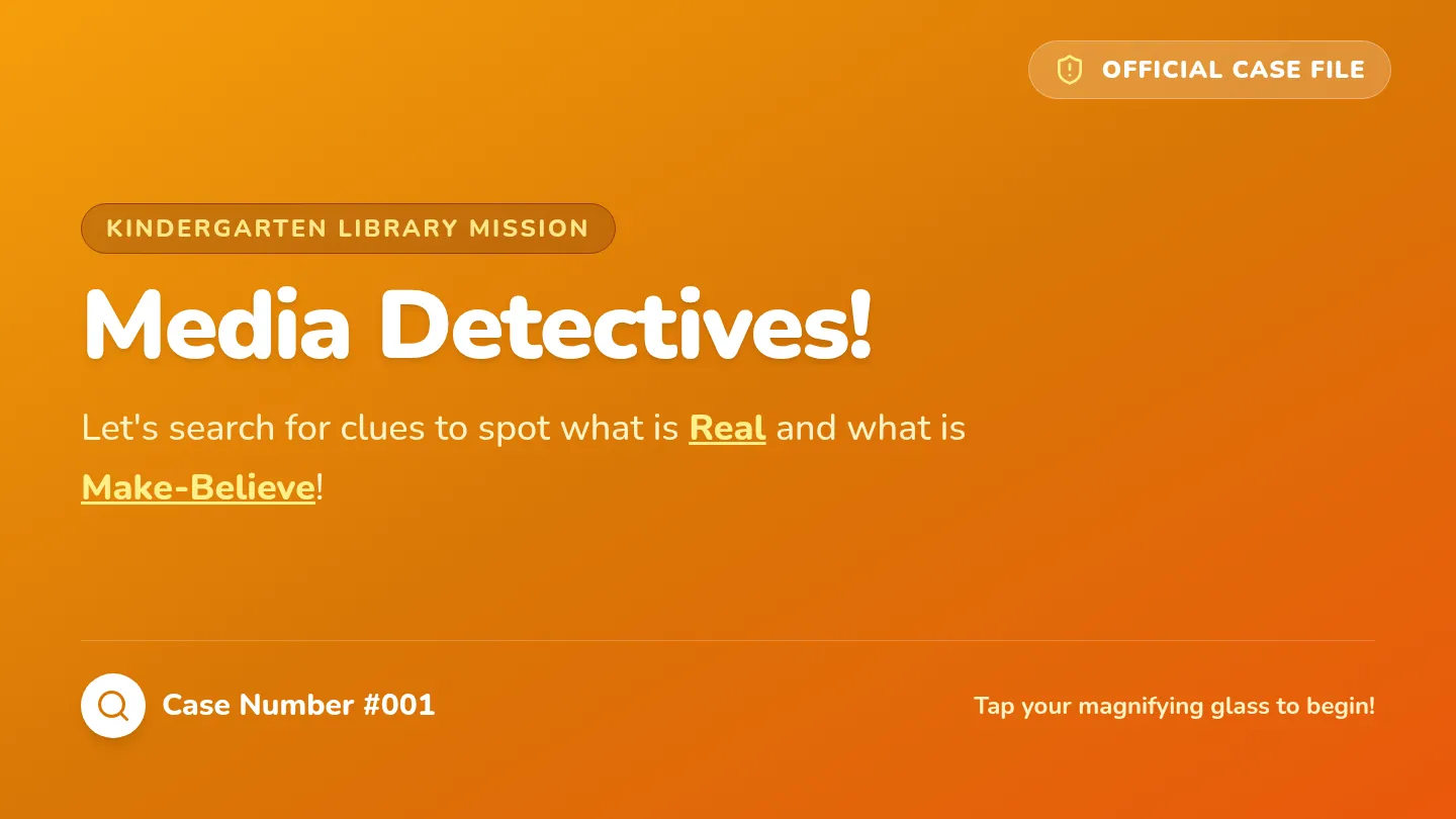
A kid-friendly presentation deck for teaching Kindergarten media literacy, featuring bold visual examples, a simplified vocabulary outline, and prompt slides for active physical movement games.
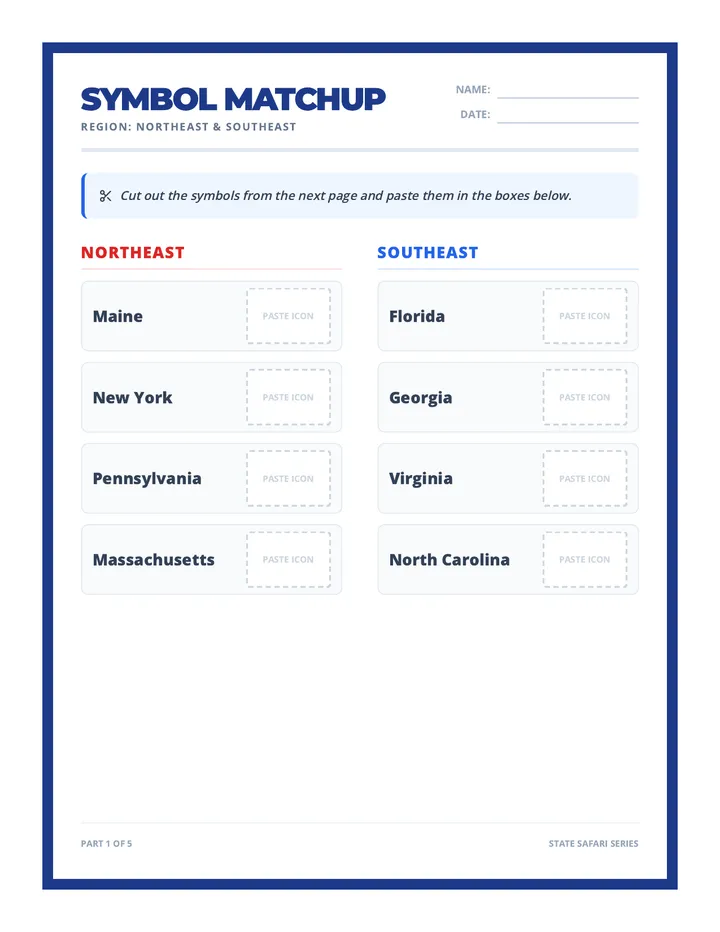
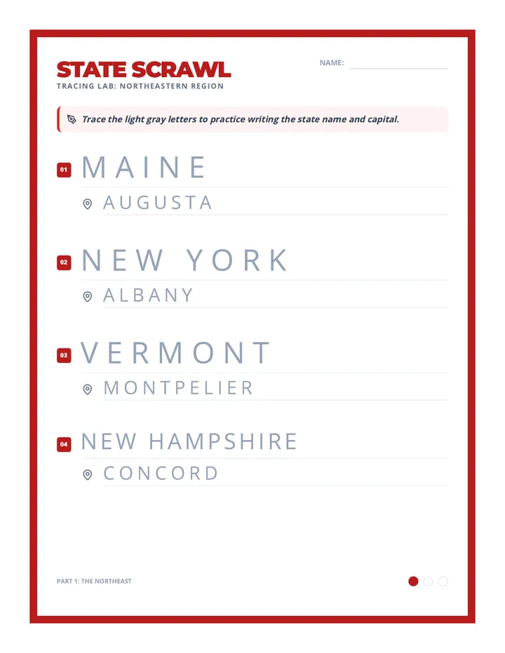
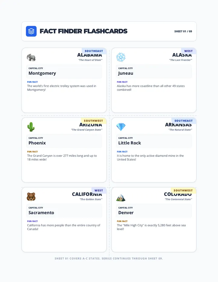
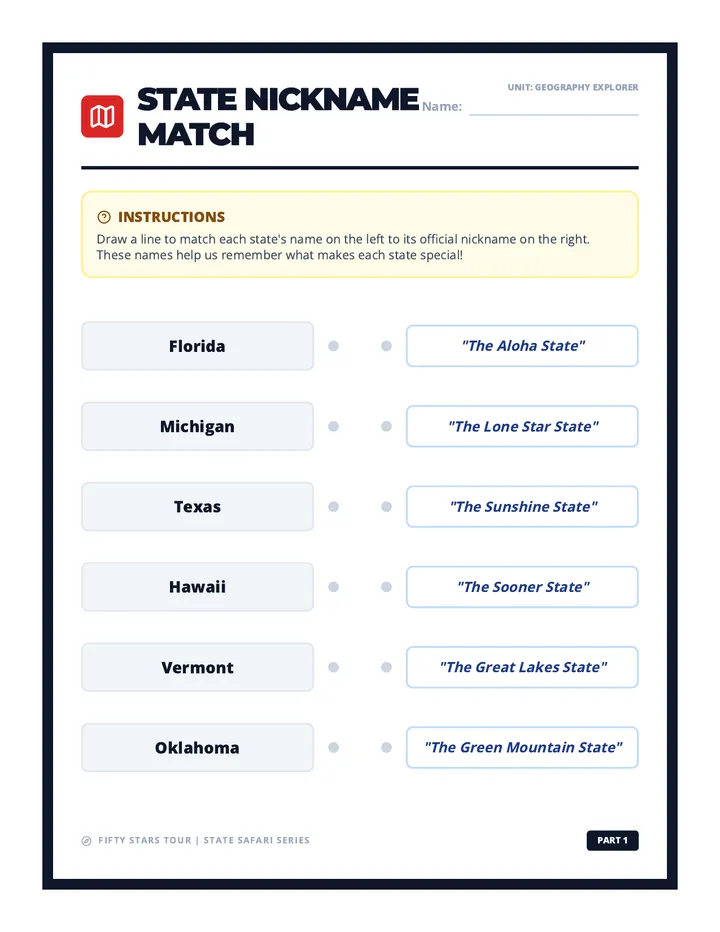
A comprehensive tour of the 50 United States, exploring their flags, shapes, capitals, and unique facts through interactive worksheets and visual aids.
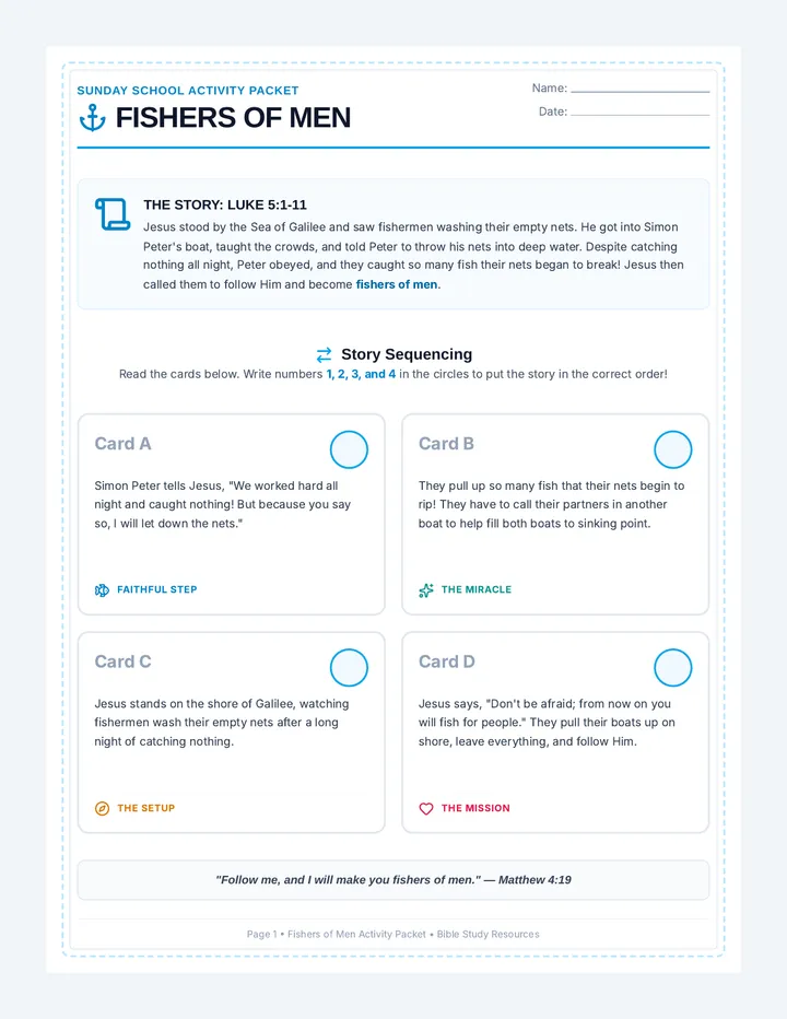
A lesson exploring the calling of the first disciples, focusing on Jesus' invitation to become fishers of men and share God's love with others through creative, hands-on activities.
A comprehensive, printable teacher's facilitation guide for the 30-minute Kindergarten media literacy lesson, featuring step-by-step pacing, scripting, interactive game rules, and student questioning strategies.
A comprehensive collection of high-quality instructional materials across Science, History, ELA, and Math, designed for upper elementary classrooms.
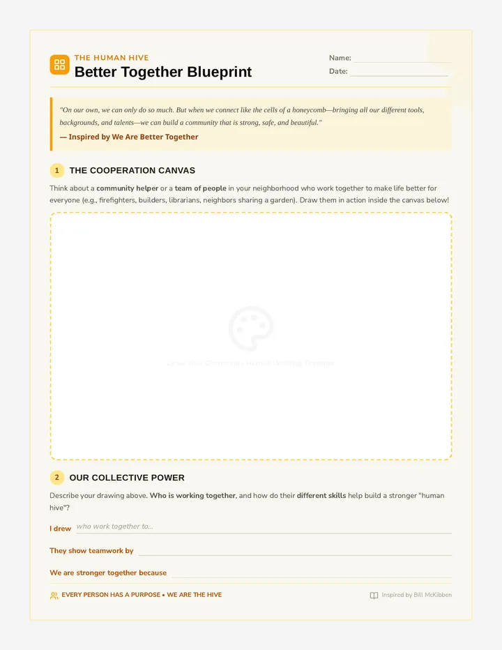
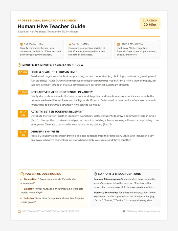
A 20-minute introductory lesson exploring community, cooperation, and human connection inspired by Bill McKibben's 'We Are Better Together'. Students examine how our unique differences and teamwork allow us to build a better, stronger community, culminating in a creative sketch and reflection activity.
A gorgeous 4-page printable activity packet for the 'Fishers of Men' lesson. Includes a story sequencing activity, a word search and code breaker puzzle, a 'Catch of Love' cut-and-paste craft, and a coloring and reflection page. Fully styled with a nautical blue and seafoam green aesthetic.
A collection of mixed-grade resources.
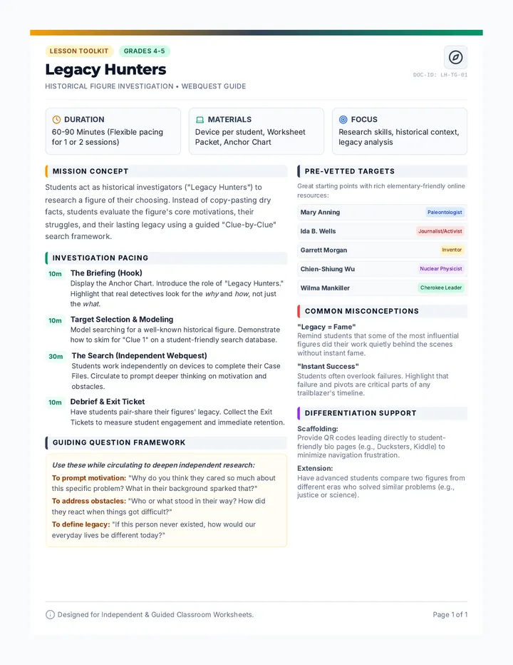
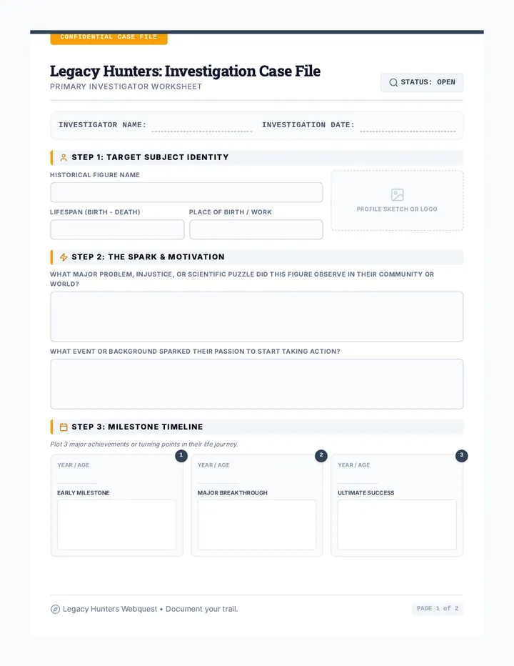
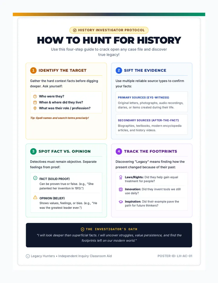
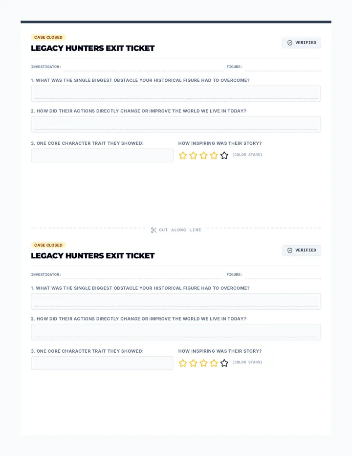
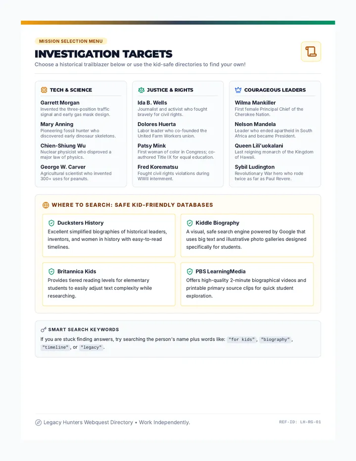
A complete history webquest lesson bundle designed for late elementary students to independently research diverse historical figures. Students act as research detectives to discover the lives, struggles, and lasting legacies of inventors, activists, and leaders.
A teacher-facing lesson plan and facilitation guide for a 20-minute lesson. Includes a minute-by-minute pacing breakdown, book discussion prompts, common student misconceptions, and differentiation strategies.