Fire Ring Slides Presentation Science Exploration
Fire Ring
Quest
Mapping the Pacific's most active volcanoes and finding Earth's patterns.
Geography
Geology
Let's Talk!
Why do earthquakes and volcanoes often happen in the same places?
Think about:
Earth's layers
Movement under our feet
Heat from inside the Earth
Hawai'i: Land of Volcanoes
SciShow Kids • Pay attention to the "Ring of Fire" (2:01-2:22)
Embedded media
Mission: Mapping the Ring
1
Find the Latitude and Longitude for each volcano on your list.
2
Plot the 10 volcanoes on your world map using red markers .
3
Use a ruler to connect the dots in order to reveal the secret shape!
Plotting Tip
"Remember: Latitude goes North/South like steps on a ladder. Longitude goes West/East like long lines from pole to pole!"
Mission Debrief
Look Closely
Compare your connected dots to the "Ring of Fire" map we saw in the video.
Does your shape look the same?
Big Question
Why do scientists call this area a "Ring"?
Hint: Think about the shape of the Pacific Ocean.
Explorer Challenge
Choose ONE volcano from your map to research deeper.
Last Eruption
When did it last wake up?
Fun Fact
What makes it unique?
City Nearby
Who lives near it?
"Becoming a volcanologist starts with one discovery!"
Volcano Coordinates List Volcano Coordinates
Global Expedition Reference List
Mission Instructions
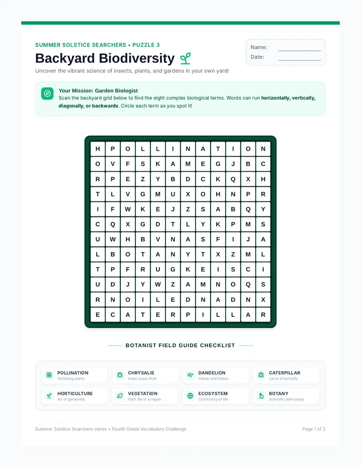
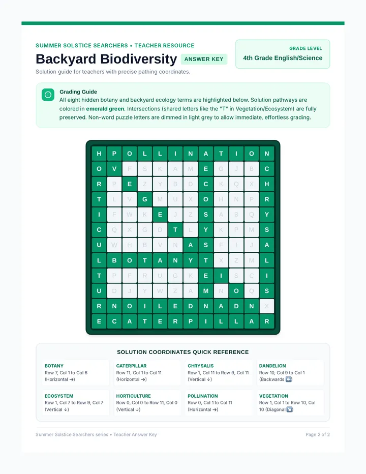
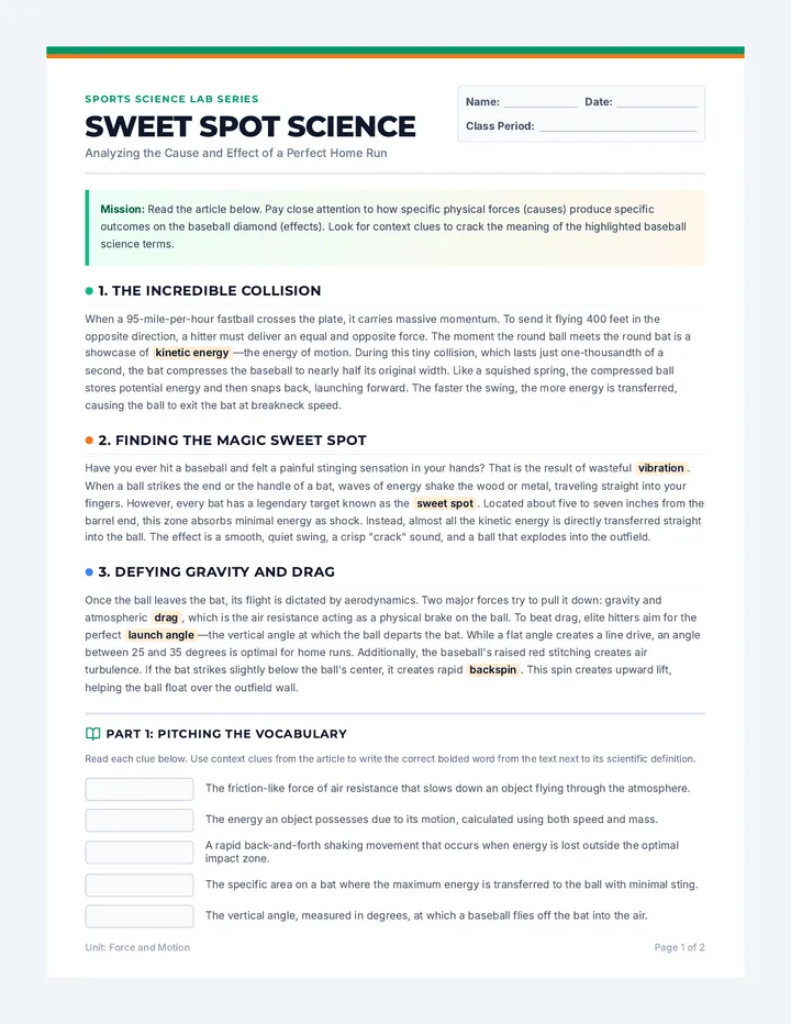
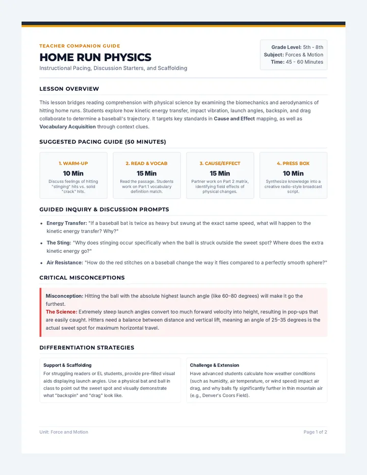
Use the coordinates below to find each volcano on your world map. Mark each spot with a Red Dot. After plotting all 10, use a ruler to connect them in the order they are listed.
Order Volcano Name Country/Region Latitude Longitude 01 Mount St. Helens USA 46° N 122° W 02 Popocatépetl Mexico 19° N 99° W 03 Cotopaxi Ecuador 1° S 78° W 04 Mount Ruapehu New Zealand 39° S 175° E 05 Krakatoa Indonesia 6° S 105° E 06 Mount Pinatubo Philippines 15° N 120° E 07 Mount Fuji Japan 35° N 139° E 08 Shiveluch Russia 56° N 161° E 09 Pavlof Volcano Alaska (USA) 55° N 162° W 10 Kilauea Hawaii (USA) 19° N 155° W
Which volcano is the furthest south?
Geology Unit • Plate Tectonics
Fire Ring Map Worksheet Fire Ring Map
Plate Tectonics & Volcanology
Name:
Date:
Mapping Mission
Use your Volcano Coordinates List to plot 10 volcanoes. Start by finding the Latitude (North/South), then follow that line to the Longitude (East/West). Connect the dots to see the Ring of Fire!
Key
Volcano Location
The Ring Shape
80°N 60°N 40°N 20°N 0° 20°S 40°S 60°S 80°S
180°W 140°W 100°W 60°W 20°W 20°E 60°E 100°E 140°E 180°E
Asia
North America
South America
Australia
Pacific Ocean
Why is it called a "Ring"?
Compare your map to the one in the video. Describe the shape you created and why the name fits.
Extension: Researcher's Choice
Choose one volcano from your map and write one amazing fact you found about it!
Map Completed
Instructor Signature
Ring Tracker Teacher Guide Teacher Facilitation Guide
Ring of Fire Mapping
Grade 4
Earth Science
Duration
45-50 Mins
Difficulty
Intermediate
Video Resource
SciShow Kids
Key Concept
Plate Tectonics
Learning Objectives
Students will plot geographic coordinates (latitude and longitude) on a world map with 85% accuracy.
Students will identify the "Ring of Fire" as a horseshoe-shaped pattern of volcanic activity surrounding the Pacific Ocean.
Students will explain the connection between tectonic plate edges and volcanic activity.
Pacing Guide
5 Min
Warm-Up Discussion
Ask students why they think volcanoes and earthquakes happen in the same places. Use the slides to prompt thinking about Earth's layers.

10 Min
Video Viewing
Watch the SciShow Kids video. Focus specifically on the segment from 2:01 to 2:22 where the Ring of Fire is shown.
25 Min
Mapping Activity
Hand out the Map and Coordinate List. Walk around to help students who struggle with finding the intersection of Lat/Long lines.
5 Min
Closure
Discuss the shape they discovered. Why is it a "ring" and not a "square" or "line"?
Preparation Checklist
Print Fire Ring Map Worksheet (1 per student)
Print Volcano Coordinates List (1 per student or pair)
Gather Red Markers and Rulers
Test Slide Presentation & YouTube link
Teacher Tip
"Many 4th graders mix up Latitude and Longitude. Remind them: Lat itude is like a Lad der (climbing up/down North and South)."
Instructional Support
Discussion Anchors
During the Video (2:08):
"Why do you think so many volcanoes are in a circle around the ocean?" (Encourage answers about plate boundaries being the 'cracks' where magma escapes).
The "Hot Spot" Concept (3:11):
Explain that Hawaii is unique because it's in the middle of a plate, while the Ring of Fire is along the edges .
Map Answer Key
The plotted points should form a rough "horseshoe" or backwards "C" shape starting from South America (Cotopaxi), moving up the west coast of the Americas, across to Alaska, down through Japan, and ending near Indonesia/New Zealand.