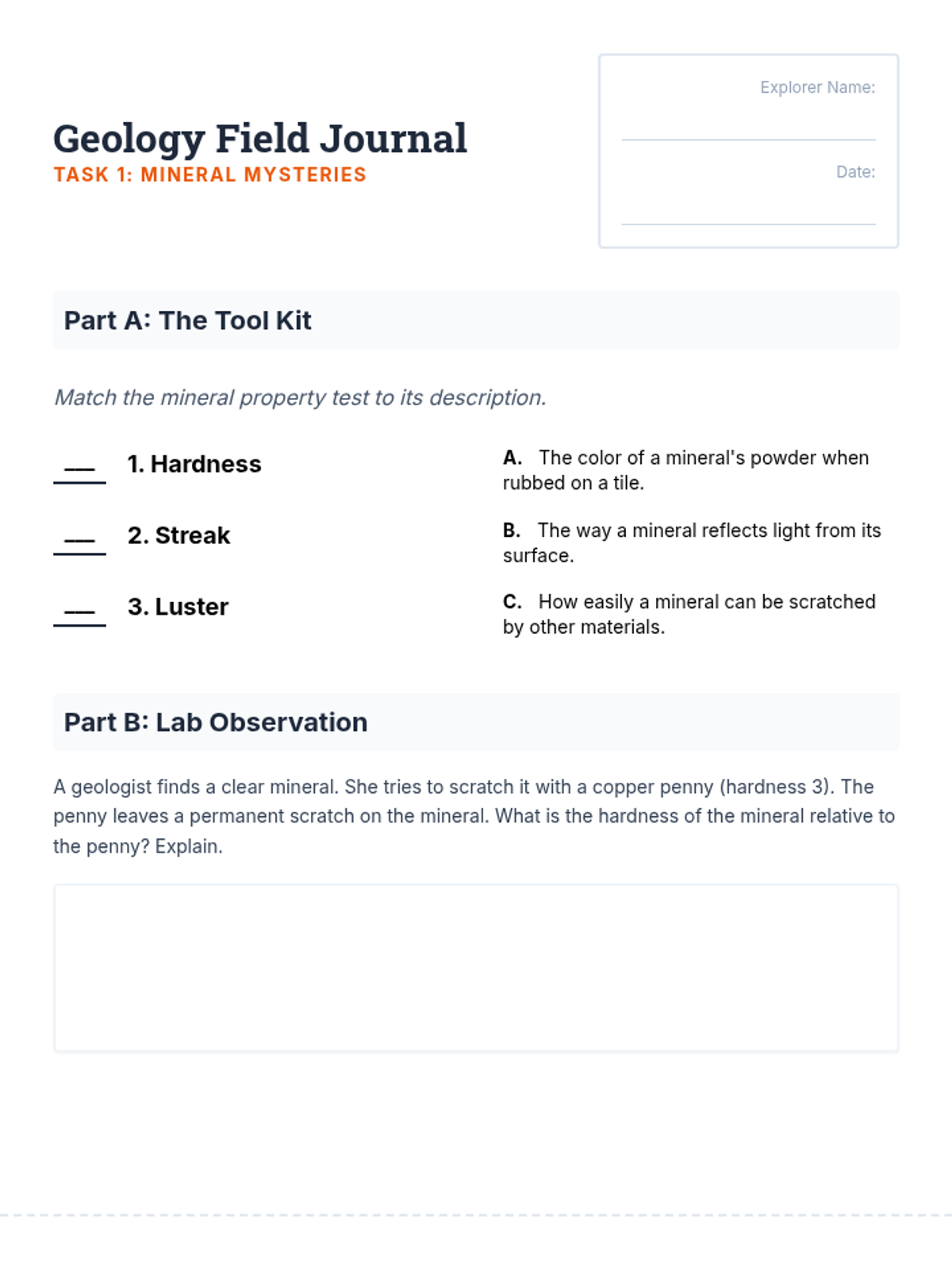
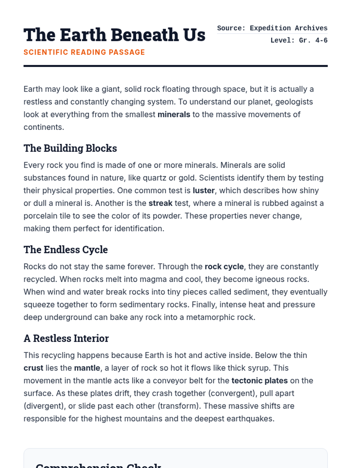
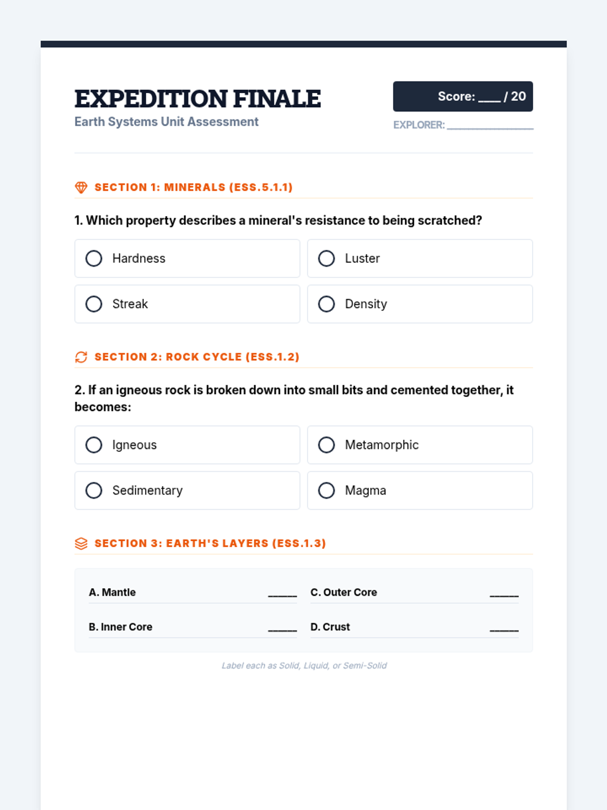
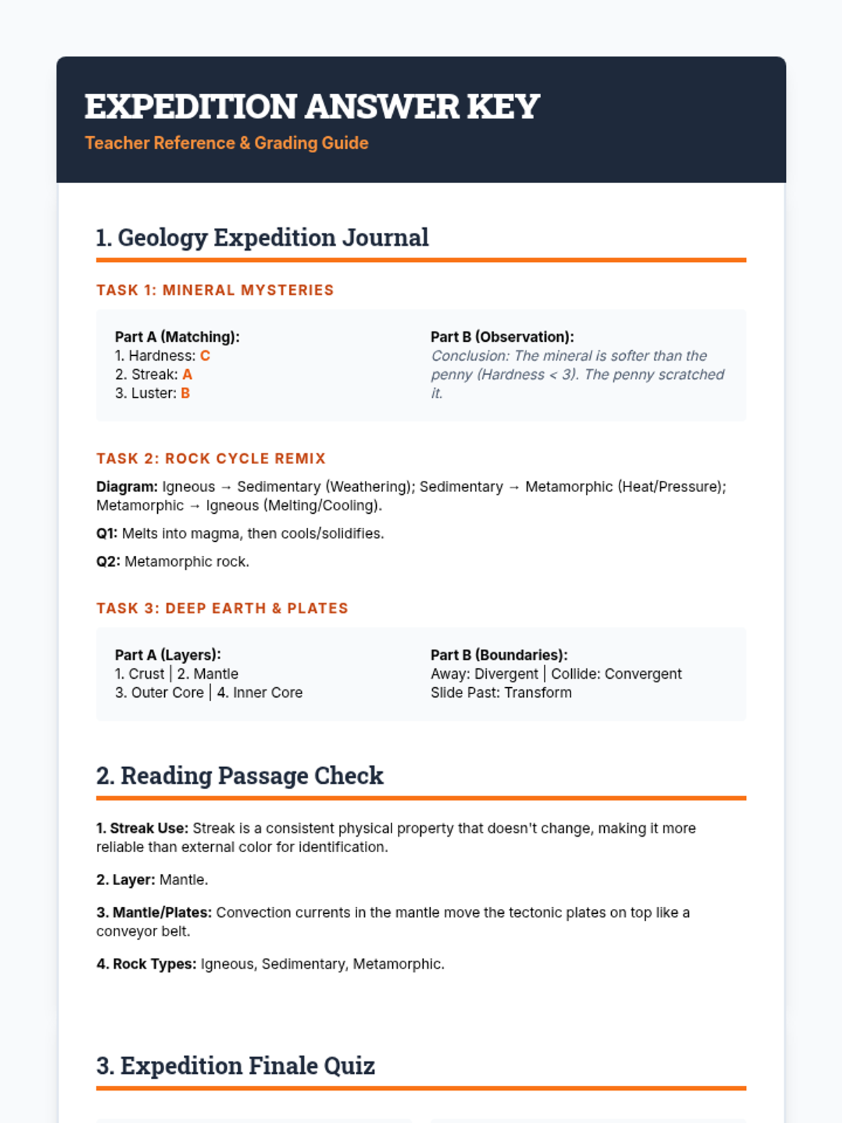
Puzzle Pieces Slides Jigsaw Puzzle Earth
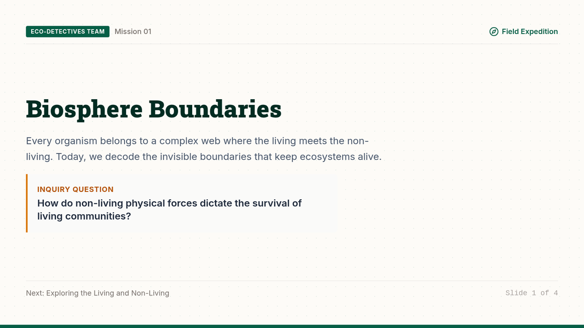
Analyzing the Fit of Our Continents
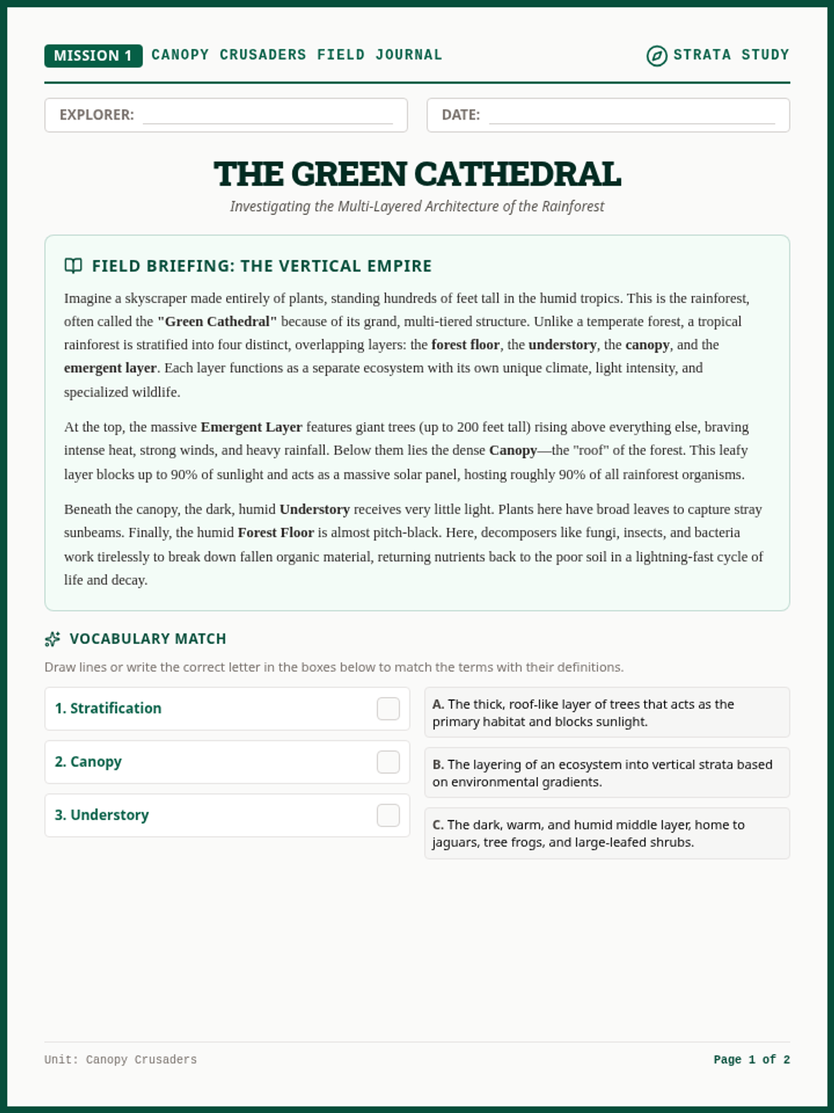
MISSION: RECONSTRUCT PANGAEA
Look Closely at the Map
If you look at the Atlantic Ocean, do the coastlines of South America and Africa look like they might fit together?
"It's as if they were pieces of a torn newspaper that we are trying to put back together..."
[Visual: World map highlighting the fit between SA and Africa]
Alfred Wegener
THE VISIONARY METEOROLOGIST (1912)
Wegener wasn't a geologist; he was a weather scientist. He noticed that many continents looked like they belonged together.
He proposed the theory of Continental Drift.
The continents were once a single "supercontinent."
They drifted apart over millions of years.
Key Term
Pangaea
Greek for "All Earth"
Your Mission
Step 1: The Fit
Using your continent cut-outs, try to arrange them into one solid landmass based only on their shapes.
South America Africa India
Step 2: The Notes
On your worksheet, record where the fit is "perfect" and where there are gaps.
Think: Why might there be gaps today (e.g., erosion, rising sea levels)?
Debrief: The Puzzle Fit
1
Which continents seemed to fit together most easily? Why?
2
If the continents fit so well, why didn't people believe Wegener right away?
3
What kind of additional evidence would you look for to prove they were once connected?
Coastline Conundrum Worksheet Coastline Conundrum
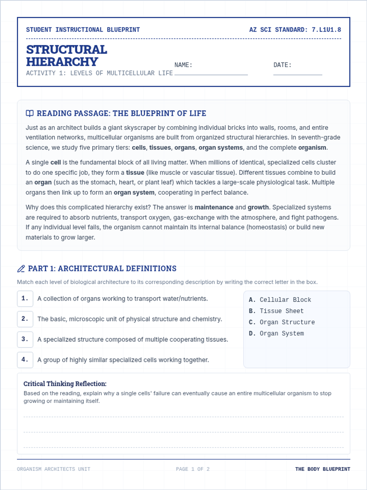
Field Investigation: Continental Fit
Researcher:
Date:
Part 1: The Visual Hook
Examine a world map. Focus on the eastern coast of South America and the western coast of Africa.
Observation Notes:
How would you describe the shapes of these two coastlines relative to each other?
Hypothesis
Based only on their shapes, do you think these two continents were once touching? Explain your reasoning.
Part 2: Reconstructing Pangaea
Using the provided continent cut-outs, attempt to piece together the continents into one large landmass. Focus on matching the coastlines like a jigsaw puzzle.
Workspace: Sketch or glue your arrangement here
Part 3: Analysis
1. Where did the continents fit together "perfectly"? Where were there gaps or overlaps?
2. Scientists know that coastlines change over millions of years due to erosion, sea-level changes, and sediment build-up. How might these factors explain why the puzzle pieces don't fit perfectly today?
Puzzle Master Teacher Guide Puzzle Master
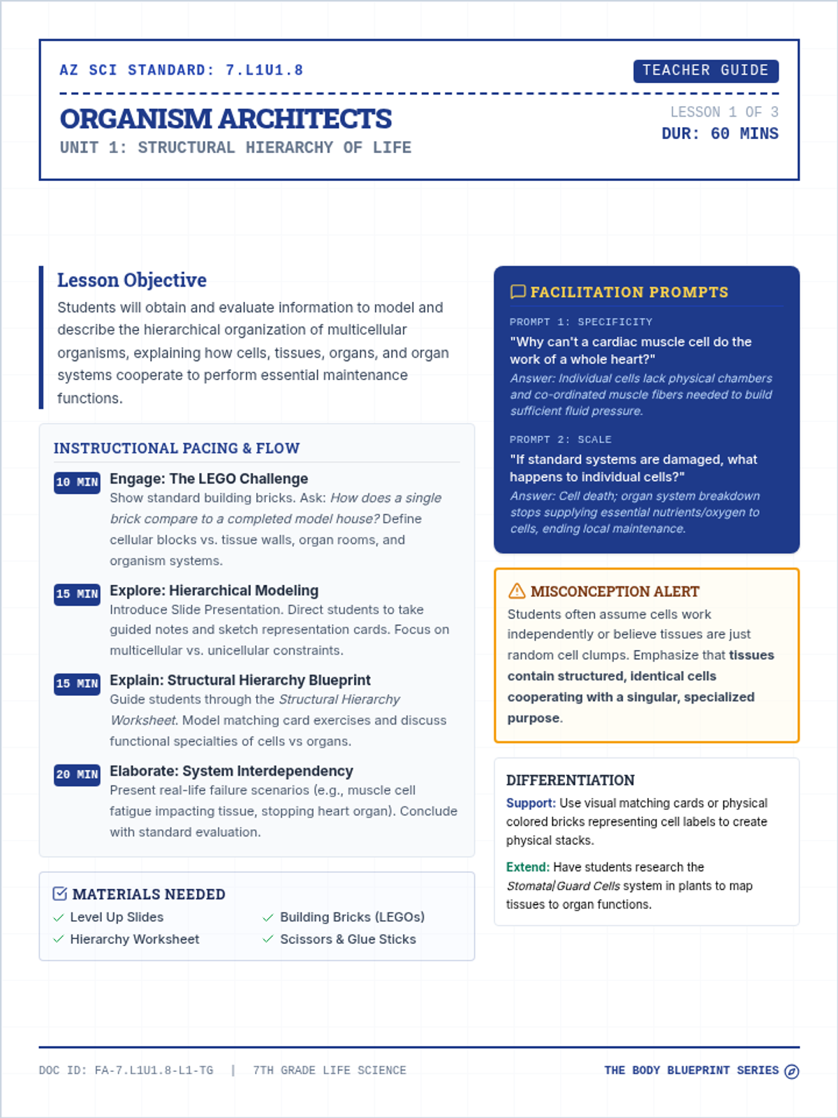
Teacher Facilitation Guide: Lesson 1
Topic: Jigsaw Puzzle Earth
Lesson Objective
Students will analyze the coastline fit of modern continents to evaluate Alfred Wegener’s early hypothesis of continental drift and propose why a simple "puzzle fit" isn't sufficient scientific proof.
Pacing & Flow
10m
The Hook: Use the slide deck to show the coastline of South America and Africa. Let students share what they notice without prompting.
25m
Inquiry Activity: Students work in pairs with continent cut-outs. Encourage them to try multiple "fits" beyond just the obvious ones.
15m
Synthesis Discussion: Groups share their "best" Pangaea arrangements and discuss the limitations of shape alone.
Prep Checklist
Print Continent Cut-out Sheets (1 per pair)
Distribute Scissors & Tape/Glue
Load "Puzzle Pieces Slides"
Print "Coastline Conundrum" Worksheets
Common Misconceptions
"They fit perfectly": Students may try to force a perfect fit. Emphasize that erosion and rising sea levels (shelf vs. coastline) mean the fit won't be exact.
"Wegener was a geologist": He was actually a meteorologist. This is why his theory was ignored; scientists at the time felt he was "playing outside his field."
Scaffolding Questions
"If these pieces once touched, what would we expect to find right at the border of both continents?"
"Look at India. Where does it seem to fit if we don't look at where it is today?"
"How does the concept of a jigsaw puzzle fail to describe the moving of massive tectonic plates?"
The Continent Cut-outs
Ensure students cut exactly along the coastlines. For advanced learners, provide a map that shows the continental shelf (the submerged part of the continent) instead of just the visible coastline for a much more accurate fit.
Key Comparison
Africa & South America
Key Comparison
India & Antarctica
Key Comparison
Australia & Antarctica
Fossil Trail Slides Lesson 2: Beyond the Shape
Fossil Trails
Biological & Geological Evidence for Drift
The Mystery of the Glossopteris
The Glossopteris was an ancient tropical fern. Its fossils are found in:
South America
Africa
India
Antarctica
HOW? Seeds are too heavy to fly across oceans, and salt water kills them.
Glossopteris fern
Creatures that Couldn't Swim
Mesosaurus
A small freshwater reptile. Its fossils appear in South America and Africa.
"If they were freshwater animals, they couldn't have swam across 3,000 miles of salt water."
Cynognathus
A land-dwelling reptile. Found in the same bands across separated continents.
"Like bridge columns without a bridge, these fossil trails only make sense if the land was connected."
Mountain Belts
It's not just fossils. Mountains in the Appalachians (USA) match mountains in Scotland and Scandinavia exactly.
Same age of rocks
Same mineral composition
Same folding patterns
Continuous Formations
Cut in half by the Atlantic Ocean
Your Next Challenge
Can you map the fossil trails and mountain belts onto your Pangaea puzzle?
If the fossils line up across the gaps, you've found the proof Wegener needed!
Biological Blueprints Worksheet Biological Blueprints
Field Investigation: Mapping Ancient Life
Researcher:
Site Location:
Evidence Legend
G
Glossopteris
Tropical Fern
M
Mesosaurus
Freshwater Reptile
L
Lystrosaurus
Land Reptile
R
Rock Belts
Matching Mtn. Ranges
Part 1: The Evidence Trail
Refer to your Pangaea puzzle from Lesson 1. Locate the following fossil sites and mark them on your map. Then, answer the analysis questions below.
Evidence Trail A
Bands of Glossopteris found across South America, Africa, India, and Antarctica.
Evidence Trail B
Mesosaurus fossils found only in Eastern South America and Western Africa.
Evidence Trail C
Appalachian Rock Belts match the Caledonian mountains in the UK and Norway.
Part 2: Scientific Evaluation
1. Why is the discovery of Mesosaurus (a freshwater reptile) on two continents separated by a salt-water ocean so important to Wegener’s theory?
2. Some scientists argued that animals crossed "land bridges" (strips of land that later sank) between continents. Why does the Glossopteris plant fossil make the "land bridge" theory less likely?
3. Predict: If the mountains in North America and Europe match, what does that tell us about the age of those mountains relative to the split of the continents?
Dossier: Continental Drift Evidence v2.0
Evidence Evaluator Teacher Guide Evidence Evaluator
Teacher Facilitation Guide: Lesson 2
Topic: Biological & Geological Evidence
Lesson Strategy
In this lesson, we move from the shape of continents to the content of the land itself. Students will realize that matching coastlines is only the first step; matching the biological and geological history is what makes the case undeniable.
The "Land Bridge" Debate
Early critics of Wegener argued that animals simply walked across land bridges that have since sunk. Use the Glossopteris (heavy seeds) and the Rock Belts (entire mountain ranges matching) to dismantle this; land bridges don't explain matching geology or plant seeds that don't travel.
Mapping Key
1
Glossopteris: Connects South America, Africa, India, Antarctica, and Australia in a large southern band.
2
Mesosaurus: Connects specifically the southern tip of South America to the southern tip of Africa.
3
Rock Belts: Connects the Eastern US (Appalachians) directly to the British Isles and Scandinavia.
Facilitation Prompts
Prompt 1: Biological
"If Mesosaurus was a freshwater animal, why can't it just swim across the ocean today?"
Goal: Identify that the Atlantic is salt-water and too vast for a small lizard.
Prompt 2: Plant Life
"Could birds have carried the Glossopteris seeds across the ocean?"
Goal: Remind students that birds didn't exist yet when Glossopteris was alive!
Prompt 3: Geology
"What are the odds that two different continents formed identical mountain ranges at the same time by accident?"
Goal: Highlight the statistical impossibility of identical rock strata matching perfectly across oceans.
Worksheet Key
Q1: Importance of Mesosaurus?
Answer: Mesosaurus was a freshwater animal. It could not survive or swim across the thousands of miles of salt-water ocean that currently separate the two continents where its fossils are found.
Q2: Why not land bridges for Glossopteris?
Answer: Plant seeds like Glossopteris are heavy and don't travel via wind easily. They also wouldn't "walk" across a land bridge. The fact that they appear on all southern continents suggests the entire region shared a single climate and landmass.
Q3: Age of matching mountains?
Answer: The mountains must be older than the split. They formed as one continuous range while the continents were joined, and then were broken apart when the rift occurred.
Climate Clues Slides Lesson 3: The Latitudinal Shift
Ancient Climate Clues
Glaciers in the Desert & Tropical Jungles in the Ice
Scratches in the Rock
Scientists found Glacial Striations (scratches made by moving ice) in places that are currently very hot:
Southern Africa
India
Australia
How can a glacier exist at the Equator?
Tropical Coal
A POLAR PARADOX
Coal only forms from plants that grow in warm, tropical swamp conditions.
Yet, massive coal deposits are found in Antarctica and the Arctic.
Conclusion: These regions must have been near the equator millions of years ago.
Logic Check
Did the Earth's climate change everywhere, or did the continents move into different climate zones?
Connecting the Scratches
When you align the continents in Pangaea, the glacial scratches all point away from a single point at the South Pole.
This shows the ice sheets were moving out from a center, exactly like modern glaciers in Greenland or Antarctica.
Evidence for Movement
The scratches only make sense if the continents were joined at the pole.
If Antarctica was once tropical, what does that tell us about the speed of continental drift?
Discussion: Millions vs. Billions of Years
Frozen Deserts Worksheet Frozen Deserts
Field Investigation: Ancient Climate Clues
Researcher:
Date:
Part 1: The Scratches
Glacial striations are deep scratches carved into bedrock as glaciers move over the land. They show the direction the ice was moving.
Data Set A:
Ancient glacial scratches found in India and Africa show ice moving northwards, as if it came from the ocean.
Why is "ice from the ocean" impossible for a glacier?
Part 2: Climate Mapping
Look at the diagram of the Pangaea reconstruction in your notes. When you bring the continents together at the South Pole:
The scratches in Africa, South America, and India all point outward from the pole.
Coal deposits (which require heat) are found in Antarctica and North America.
The Tropical Puzzle
How can Antarctica have coal if it's too cold for plants to grow there today?
The Glacial Puzzle
What does the orientation of the scratches tell us about the position of India and Africa millions of years ago?
Part 3: Scientific Argument
Wegener said: "Either the Earth's entire climate changed drastically, or the continents moved."
Based on all the evidence (shape, fossils, and climate), why is "continents moved" a stronger scientific explanation than "global climate change"?
Paleoclimate Pro Teacher Guide Climate Clues Guide
Teacher Facilitation Guide: Lesson 3
Topic: Paleoclimate Evidence
The Core Challenge
The most difficult part of this lesson for students is conceptualizing how a continent moves through climate zones. They often think the climate changed rather than the land moved.
Teaching Tip: The Room Analogy
"If you find a heater in the middle of a room, you know that spot is warm. If you find a frozen turkey in the freezer, you know that spot is cold. If you move the turkey to the heater, the turkey doesn't prove the heater is cold—it proves the turkey was moved!"
Key Concepts
Data Debrief Prompts
"Why can't a glacier come from the ocean?"
Goal: Glaciers are massive sheets of land-ice. They move from high land to the sea, not vice versa. If scratches in Africa show ice moving north from the southern ocean, it means that "ocean" wasn't an ocean back then—it was Antarctica!
"If the whole world got cold (Ice Age), why do we find tropical fossils from the same time period?"
Goal: If the whole Earth cooled, there would be no tropical fossils anywhere. The fact that different continents have different climate evidence from the same era proves they were at different latitudes.
Worksheet Key
Q1: Ocean Glaciers?
Glaciers only form on land. Finding scratches that "come from the sea" is a paradox unless there was land there in the past.
Q2: Antarctica Coal?
Antarctica must have been located near the equator where swampy jungles could grow and eventually turn into coal.
Q3: Wegener's Big Idea?
Continents moving is a better explanation because it accounts for multiple pieces of evidence (matching shapes, fossils, AND climate) simultaneously. Global climate change doesn't explain why shapes match or why mountains align across oceans.
Seafloor Secrets Slides Lesson 4: The Ocean Floor
Seafloor Secrets
Finding the Engine that Moves Continents
Wegener's Big Problem
Wegener had plenty of evidence that continents moved, but he couldn't explain HOW they moved.
"He couldn't find the engine."
The answer was hiding 2 miles beneath the waves.
Land
Land
THE ATLANTIC GAP
Mapping the Abyss
In the 1950s, Marie Tharp used sonar (sound waves) to map the ocean floor.
Sonar Discovery:
"There is a mountain range running right down the middle of the Atlantic!"
Sonar Profile: Mid-Atlantic Ridge
The Rift Valley
The center of the mountain range was a deep crack, where the seafloor was pulling apart.
Magnetic Striping
The seafloor acts like a Giant Tape Recorder of Earth's magnetic history.
1
New rock forms at the ridge.
2
It "records" the Earth's magnetic pole (North or South).
3
The seafloor moves away, carrying the record with it.
NORMAL
REVERSED
NORMAL
REVERSED
RIDGE AXIS (NEWEST ROCK)
The Mechanism Found!
"Seafloor Spreading"
New ocean floor is created at ridges and pushes the continents apart. The ocean floor is the conveyor belt that carries the continents!
Magnetic Messaging Worksheet Magnetic Messaging
Analysis: The Seafloor Mechanism
Researcher:
Vessel:
Part 1: The Mirror Image
Below is a simplified diagram of the magnetic striping on the ocean floor. The center line represents the Mid-Ocean Ridge. The shaded areas represent "Normal" polarity, and the white areas represent "Reversed" polarity.
Ridge
Fact 1: Symmetrical Pattern
The pattern of stripes is identical on both sides of the ridge. If you folded the paper at the ridge, the stripes would match up perfectly.
Fact 2: Age Gradient
Rocks found right at the ridge are young. Rocks found far away near the continents are millions of years older.
Part 2: Solving the Mechanism
1. Why is the pattern of stripes symmetrical (the same on both sides)? What does this tell us about how the seafloor is formed?
2. If you find a rock that is 100 miles away from the ridge and it is 10 million years old, where would you expect to find another rock of the same age?
3. Explain the "Conveyor Belt" idea. How does the creation of new seafloor at the ridge actually move the massive continents above it?
Part 3: The Verdict
Alfred Wegener was criticized because he didn't have a "mechanism" for his theory.
How does the discovery of Seafloor Spreading finally solve Wegener's problem? Why is this the "engine" he was looking for?
Ridge Runner Teacher Guide Ridge Runner Guide
Teacher Facilitation Guide: Lesson 4
Topic: Seafloor Spreading
The Mechanism
This lesson bridges the gap between Wegener's observations and modern Plate Tectonics. Students need to understand that the ocean floor is not a static tub, but a dynamic, growing surface.
Marie Tharp's Contribution
"Because she was a woman, Marie Tharp wasn't allowed on the research ships. She had to take the raw sonar data and turn it into the first map of the ocean floor by hand. She was the first to identify the 'Rift Valley' that proved the seafloor was spreading."
Activity Setup: The Hand Experiment
Have students place their hands flat on a table with their middle fingers touching. Tell them their middle fingers are the "Ridge."
Push the hands slowly apart.
Ask: "Where is the oldest part of the seafloor?" (The edge of the table/the continents).
Ask: "Where is the youngest?" (Where the fingers just separated).
Scientific Reasoning Points
Point 1: Sonar
"How do we see the bottom of the ocean if it's too deep for sunlight?"
Goal: Understand sonar as 'seeing with sound'.
Point 2: Magnetic Stripes
"If the stripes were random, would that still prove the seafloor is moving?"
Goal: Highlight symmetry as the proof of a single center of creation.
Point 3: The Engine
"Why did this discovery make people finally believe Wegener?"
Goal: Evidence + Mechanism = Valid Scientific Theory.
Worksheet Key
Q1: Symmetry?
The symmetry exists because new rock is being created at the center (ridge) and split in half. One half moves left, the other right, creating mirror images of the magnetic history.
Q2: Predicting Age?
You would expect to find another rock of the same age 100 miles away on the opposite side of the ridge.
Q3: The Conveyor Belt?
As the seafloor spreads at the ridge, it pushes the existing ocean crust away. Because the continents are "stuck" to the ocean crust, they are carried along with it, like groceries on a grocery store conveyor belt.
Tectonic Triumph Slides Lesson 5: The Final Synthesis
Tectonic Triumph
Vindicating Wegener & The Birth of a Theory
The 4 Pillars of Evidence
1. Shape
Coastlines fit like jigsaw pieces.
2. Fossils
Same land-animals on separate continents.
3. Climate
Glaciers in Africa, coal in Antarctica.
4. Seafloor
Magnetic stripes show the mechanism.
When all 4 match, it's no longer a "guess." It's a Scientific Theory.
Plate Tectonics
The Modern Model
Earth's outer layer is broken into massive tectonic plates.
These plates float on the semi-liquid mantle like rafts in a pool.
They move because of convection currents (heat rising and falling) inside the Earth.
The Speed of Drift
2 - 10 Centimeters
per year
"About as fast as your fingernails grow."
Alfred Wegener (1880 - 1930)
Why was he ignored?
Wegener died in a Greenland blizzard while gathering more evidence, long before seafloor spreading was discovered.
"Science is not just about having a good idea; it's about proving it with a mechanism that other scientists can test."
— THE SCIENTIFIC METHOD
If we hadn't discovered the Mid-Ocean Ridge, would we believe in Continental Drift today?
Evidence Mechanism Proof
Wegener Vindication Worksheet The Case for Wegener
Final Synthesis: Scientific Argumentation
Scientist:
Date:
The Mission
In 1912, Alfred Wegener was laughed at by the scientific community. They called his ideas "the dreams of a meteorologist." It is now the 1960s, and we have the final pieces of the puzzle. Your task is to write a Formal Scientific Argument that proves Wegener was right.
Argument Requirements:
State your clear Claim.
Include Three pieces of evidence.
Explain the Mechanism (how it works).
Use the word Seafloor Spreading.
Vocabulary Bank:
Pangaea Glossopteris Glacial Striations Magnetic Striping Conveyor Belt Tectonic Plates
The Official Statement
Verified Scientific Record
Drift Detective Assessment Drift Detective Assessment
Summative Evaluation: Plate Tectonics
Name:
Score:
Section 1: The Evidence
1. Which of these did Alfred Wegener NOT use as evidence for Continental Drift?
Coastline Fit
Fossil Distribution
Satellite GPS Mapping
Ancient Glacial Scratches
2. Why were tropical coal deposits in Antarctica a surprise to scientists?
Because coal usually forms only in high-altitude mountains.
Because Antarctica is currently too cold for tropical swamps to exist.
Because coal is only found in the Northern Hemisphere.
Section 2: Matching Evidence
Draw a line from the evidence to its correct description.
Glossopteris
Mesosaurus
Striations
Freshwater reptile found in Africa & S. America
Ancient plant with heavy seeds found on all S. continents
Glacial scratches found in hot deserts today
Section 3: Diagram Analysis
Study the seafloor diagram. Label the following:
A: Youngest Rock B: Oldest Rock C: Mid-Ocean Ridge
Final Question: Explain how seafloor spreading moves the continents like a conveyor belt. (3-4 sentences)