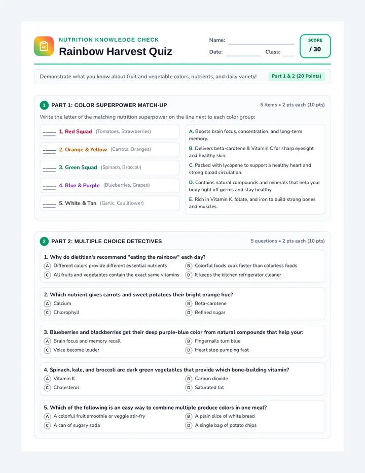
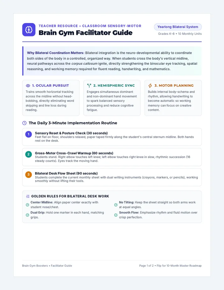
Birdseye View Slides Bird's Eye Views
Lesson 1: Aerial Adventures
Waypoint Wizards: Sequence 1
The Eagle's Eye
Imagine you are a bird flying high above our school.
Look at the picture!
Can you see our playground?
Where is your favorite slide?
Does it look the same as when you are standing on it?
Aerial View of School
What is "Bird's Eye View"?
Ground View
Looking straight ahead. You see the sides of objects.
Bird's Eye View
Looking straight down. You see the tops of objects.
Maps are almost always drawn from a bird's eye view!
From Object to Shape
How do we draw things from above? We use simple shapes!
🌳
Tree
🏢
Building
🚗
Car
👟
Person
Cartographer Challenge!
A Cartographer is a map-maker. Today, YOU are the cartographer.
Mission
Look at your desk or a table in the room. Draw exactly what it looks like if you were looking straight down from the ceiling!
Classroom Cartographer Worksheet Classroom Cartographer
Mission: Bird's Eye Mapping
Name:
Date:
Part 1: The Top View
Look at these objects. Draw what they look like from a bird's eye view (straight above).
🥤 A Soda Can
🛋️ A Long Sofa
🍦 An Ice Cream Cone
Part 2: Map Your Workspace
Stand up and look directly down at your desk or a table. Draw your "Bird's Eye" map in the grid below.
What was the hardest thing to draw from above? Why?
Mapping Mentor Guide Teacher Resource • Lesson 1
Mapping Mentor Guide
Lesson Objective
Students will understand the concept of perspective by transitioning from ground-level views to aerial (bird's eye) views. They will practice spatial representation by mapping a small, familiar area using basic shapes.
Materials Needed
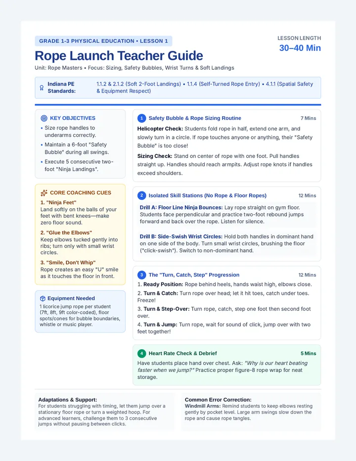
Birdseye View Slides Classroom Cartographer Worksheet (1 per student)Pencils and erasers
Optional: A drone photo of your specific school grounds (highly recommended for the hook)
At a Glance
Duration
45 - 60 Minutes
Grouping
Individual / Whole Class
Key Terms
Bird's Eye View Perspective Scale Cartographer
Facilitation Steps
1
The Hook (10 mins)
Display the drone photo of the school. Ask: "Can you find our classroom window? Where is the main gate?" Students usually enjoy seeing their daily surroundings from an impossible angle. Use this to introduce the term Bird's Eye View .
2
Concept Building (15 mins)
Use the slides to explain how 3D objects "flatten" when seen from above. A tall tree becomes a circle; a desk becomes a rectangle. Practice identifying 3D objects around the room and describing their "top view" shape.
3
Worksheet Activity (25 mins)
Hand out the Classroom Cartographer Worksheet . Part 1 is a quick check for understanding. For Part 2, encourage students to actually stand up or peer over the edge of their workspace to get a true vertical view.
Pro-Tip: Remind students not to worry about artistic detail (like wood grain or pencil shavings). Focus on the outlines of the main objects.
4
The Gallery Walk (10 mins)
Have students leave their maps on their desks and walk around. Ask them to see if they can identify what objects their classmates drew just by looking at the shapes.
Supporting All Learners
For extra support
Provide physical blocks (LEGO or wooden blocks) and have students build their workspace on a tray first, then trace the blocks onto paper.
For extension
Challenge students to add "Map Notes" or labels. Can they draw a map of the entire classroom instead of just their desk?
Legend Logic Slides Symbol Secrets
Lesson 2: Decoding the Map
Waypoint Wizards: Sequence 2
The Secret Code
"A map is like a secret code. If you don't have the key, you're just looking at squiggles!"
Challenge:
What do these mean on an orienteering map?
🟦 Water?
🟩 Forest?
🟨 Open Field?
⬛ Rock or Fence?
P
Where would you want to have a picnic? Why?
The Language of Colors
BLUE
Water (Lakes, Ponds, Streams)
GREEN
Vegetation (Forest, Thick Bushes)
YELLOW
Open Land (Fields, Grass)
BROWN
Earth & Shape (Hills, Holes)
BLACK
Man-made (Paths, Buildings, Fences)
The Legend
The Legend (or Key) is the dictionary of the map. It tells you exactly what every symbol means.
Always check the legend before you start navigating!
Legend Example
Building
Fence
Bolder / Rock
Water
Legend Lab
You are creating a map of our classroom . What symbols will you use?
Think
A symbol for "Teacher's Desk"
Think
A symbol for "Reading Rug"
Think
A symbol for "Doorway"
Think
A symbol for "Trash Can"
Codebreaker Symbols Worksheet Symbol Codebreaker
Mission: Decoding the Legend
Agent Name:
Date:
Part 1: The Color Code
Standard orienteering maps use specific colors. Write what each color represents in nature.
Blue =
Green =
Yellow =
Brown =
Black =
White =
Part 2: Standard Symbol Match
Draw a line to match the symbol to its meaning.
Boulder / Rock
Pond / Lake
Building
Fence
Part 3: My Classroom Legend
If you were making a map of your classroom, what symbols would you invent? Draw them in the boxes below.
Object: Teacher's Desk
Object: Bookshelf
Object: Reading Rug
Object: ________________
Legend Master Key Answer Key
Symbol Codebreaker • Lesson 2
Teacher Use Only
Part 1: The Color Code
Blue = Water (Ponds, Streams, Lakes)
Green = Vegetation (Forest, Thick Bush)
Yellow = Open Land (Fields, Grass)
Brown = Earth & Shapes (Hills, Holes)
Black = Man-made (Paths, Buildings)
SAFE
White = Easy to Run Forest (Open Woods)
Part 2: Standard Symbol Match
Boulder / Rock
Pond / Lake
Building
Fence
Grading Part 3: Custom Legends
This section is subjective. Look for consistency and clarity .
Creative: Did they choose a symbol that logically represents the object (e.g., a square with an 'X' for a desk)?Consistent: Is the symbol simple enough that it could be drawn multiple times on a map?Labelled: Did they choose a fourth object and label it correctly? Map Orientation Slides Compass Connection
Lesson 3: Orienting Your Map
Waypoint Wizards: Sequence 3
The Spinning World
Have you ever held a map upside down and gotten lost?
The Big Secret:
A map is only useful if it points the same way as the real world!
Hook: "Everyone point to the cafeteria! Now, look at your map. Is the cafeteria in front of you on the paper?"
Landmark Linking
To orient your map, find a big object (a landmark ) in the real world.
1. LOOK UP
Find a building, a fence, or a large tree.
2. LOOK DOWN
Find that same object symbol on your map.
3. ROTATE
Turn the map until the symbol is pointing at the real object.
The "Thumbing" Trick
How to never get lost:
1
Fold your map small enough to hold in one hand.
2
Place your thumb on the map right where you are standing.
3
As you walk, move your thumb along your path!
Your thumb is your GPS!
Let's Head Outside!
Take your schoolyard map and your Landmark Locator .
Field Rules:
1. Stay within the boundaries.
2. Map is ALWAYS oriented (facing the right way).
3. Move your thumb as you move your feet!
Landmark Locator Handout Landmark Locator
Mission: Map Orientation Practice
Explorer:
Field Site:
Mission Instructions
Take this handout and your schoolyard map outside. Stand at the "START" point. Rotate your map until it matches the world around you. Find the landmarks listed below and check them off!
Map Landmark Reality Check Oriented? Large Building
|
What building is it?
|
|
|
Fence Line
|
Where does it lead?
|
|
|
Lone Tree
|
Describe the tree:
|
|
|
Water Source
|
Is it a pond, tap, or drain?
|
|
The "Thumb" Challenge
As you moved between these landmarks, did you...
Keep your thumb on your current spot?
Turn the map every time you turned your body?
Final Task: Stand facing the main school building. Draw a small arrow on your map showing exactly which way you are facing right now.
Field Facilitator Notes Teacher Resource • Lesson 3
Field Facilitator Notes
Prep & Site Setup
Site Selection
Choose an area of the schoolyard with at least 3-4 clear, distinct landmarks (e.g., a specific playground structure, a prominent tree, a gate, a storage shed). The area should be open enough for you to supervise all students at once.
Map Prep
Ensure every student has a map of the exact area you are standing in. Mark a large 'X' on the map at the class's starting location before printing/copying to help them find themselves initially.
The "Spinning Map" Fix
Students often struggle with the idea that the map should move, not their body . When a student is confused, use the "Landmark Lock" technique:
Ask the student to point their body toward a large, obvious landmark (like the school gym).
Tell them to keep their body frozen like a statue.
Instruct them to rotate the piece of paper in their hands until the "Gym" symbol is also pointing toward the actual gym.
Say: "Now the map and the world are speaking the same language."
Activity Flow
Gather at Start: Model map orientation for the whole class.Handout Distribution: Distribute the Landmark Locator Handout and clipboards.Buddy Check: Have students work in pairs to verify their orientation.The Search: Release students to find the 4 specific landmarks. They must return to you to show their completed chart.Thumbing Check: As they walk, circulate and check that their thumbs are correctly placed on the map.
Safety Alert
Set hard boundaries (e.g., "Don't go past the blue fence"). Use a whistle or loud signal for "All Return to Base."
Debrief Questions
• "Why does the map become confusing if you turn your body but forget to turn the map?"
• "Which landmark was the easiest to find? Why?"
• "How did keeping your thumb on the map help you know where you were?"
Stride Science Slides Pacing Power
Lesson 4: Measuring with Your Feet
Waypoint Wizards: Sequence 4
The Human Tape Measure
"How do you measure a forest if you don't have a ruler long enough?"
You use your steps!
Explorers and orienteers use pacing to know exactly how far they have traveled.
Your body is a tool!
What is a "Pace"?
1 STEP
Moving one foot forward once (Left foot).
1 PACE (The Magic Unit)
TWO steps!
Tip: Every time your RIGHT foot hits the ground, count "ONE".
L
R
Count = 1
We count double-steps because they are easier to track over long distances!
The 10-Meter Test
How many paces does it take YOU to go 10 meters?
1
Start with your toes on the line.
2
Walk at your NORMAL speed.
3
Count every time your Right foot lands.
4
Repeat 3 times to get your Average .
Pace Lab Challenge
You are about to become a Distance Detective .
Your Tools:
Pace Counter Log
10 Meter Marked Course
Your own two feet!
Pace Counter Log Pace Counter Log
Mission: Calculate Your 10m Constant
Explorer:
Class:
Remember: 1 Pace = 2 Steps. Count only when your Right foot hits the ground!
Part 1: The 10-Meter Test
Walk the 10-meter course 3 times at your normal speed.
Trial 1
Trial 2
Trial 3
My Average Pace
Add them up and divide by 3!
___
Part 2: Distance Prediction
Using your Average Pace , how many paces would it take to walk:
20m
My Average x 2
30m
My Average x 3
Part 3: Mystery Challenge
Mystery Course Name: __________________________
Walk the mystery course. How many paces did you count?
Total Paces:
Estimated Meters:
Distance Detective Key Teacher Resource • Lesson 4
Distance Detective Key
Course Calibration
To ensure students get accurate data, follow these setup steps:
Mark 10 Meters: Use a long tape measure to mark exactly 10 meters on a flat, even surface (concrete playground or flat grass).Start/Finish Lines: Use bright chalk or cones for clear visibility.Mystery Distance: Set up a second, separate course that is roughly 25-30 meters long. Don't tell the students the length until the very end!
Sample Calculations
The 10m Average
Example Student:
Trial 1: 14 paces
Trial 2: 15 paces
Trial 3: 13 paces
(14 + 15 + 13) ÷ 3 = 14 Paces/10m
Mystery Distance Math
To calculate meters from paces:
(Total Mystery Paces ÷ 10m Average) × 10 = Estimated Meters
Note: For 3rd graders, simple multiplication (Part 2) is easier than this division. Focus on Part 2 for the core skill.
Common Errors
Walking too fast
Students often run or take giant leaps during testing. Remind them to walk at their "mall-walking" or "school-hallway" pace.
Counting every step
If their number is very high (e.g. 30), they are likely counting every foot. Remind them: "Only when the RIGHT foot hits."
Drifting
Ensure they walk in a straight line. Diagonal walking adds distance and ruins the count.
Supporting Diverse Strides
A student's "Pace Constant" is unique to their height and leg length. Celebrate this! If a student uses a wheelchair or walker, they can still calculate their constant (rotations of wheels or movements of walker feet). The goal is to find a personal unit of measure that is repeatable.
Mission Briefing Slides Waypoint Warriors
Lesson 5: The Grand Finale
Waypoint Wizards: Sequence 5
The Schoolyard Mystery
Hidden around the playground are 5 secret waypoints.
Your Mission:
Use your map, symbols, and pacing to find each one. Every waypoint has a Secret Letter .
Collect all 5 letters to solve the mystery word!
X
Look for the red markers!
The "Star Course" Strategy
1
Start at the Master Hub (Teacher).
2
Run to ONE waypoint on your map.
3
Write down the letter and RETURN to the Hub.
4
Repeat for the next point!
HUB
1
4
2
3
Warrior Rules
DO:
Always orient your map.
Use your thumb!
Count your paces.
Help your teammate.
DON'T:
Move the waypoint markers.
Shout out the letters.
Go into "Forbidden Zones".
Follow other teams blindly.
LAUNCH!
Collect your Star Scorecard and your map. Report to the Hub for your first coordinate.
MAP
PENCIL
SPEED
Star Course Scorecard Star Course Scorecard
Mission: Waypoint Navigation
Team:
Start Time:
Go to each waypoint marked on your map. Write down the Secret Letter you find there. Prove you were at the right spot by describing the landmark!
No. Landmark Proof (What is it?) Secret Letter 1
|
| 2 |
|
|
| 3 |
|
|
| 4 |
|
|
| 5 |
|
|
The Mystery Word
Unscramble the letters to win!
Course Commander Guide Teacher Resource • Lesson 5
Course Commander Guide
Mystery Master Key
Point 1
S
Point 2
C
Point 3
O
Point 4
U
Point 5
T
Secret Word: SCOUT
Waypoint Placement
Point 1 (S): Near the main school gate (Fence Line).Point 2 (C): Under the largest shade tree (Vegetation).Point 3 (O): By the blue basketball court (Paved Area).Point 4 (U): Near the drinking fountain (Water).Point 5 (T): Behind the play structure (Building/Object).
Managing Traffic
To prevent students from following each other in large groups, assign different teams to different starting points:
"Team Alpha, start with Point 1. Team Bravo, start with Point 3. Team Charlie, start with Point 5."
As the Course Commander , stay at the central Hub. Teams must return to you after finding a letter to get their next coordinate or to have their map orientation checked.
Skills Assessment Rubric
Skill Exceeding Meeting Developing Orientation Map is oriented 100% of the time without reminders. Map is usually oriented; needs 1-2 reminders. Struggles to align map symbols with reality. Pacing Uses pacing to estimate distance between all waypoints. Attempts pacing but sometimes relies on guessing. Forgets to count paces or counts incorrectly. Symbol Use Accurately identifies all landmarks using map symbols. Identifies major landmarks (buildings, trees) correctly. Confused by standard symbols or colors.