Students analyze physical maps of Europe to identify areas below or near sea level, focusing on the North Sea coast and the Adriatic. They correlate these low-lying areas with population density maps to understand risk factors.
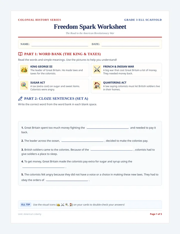
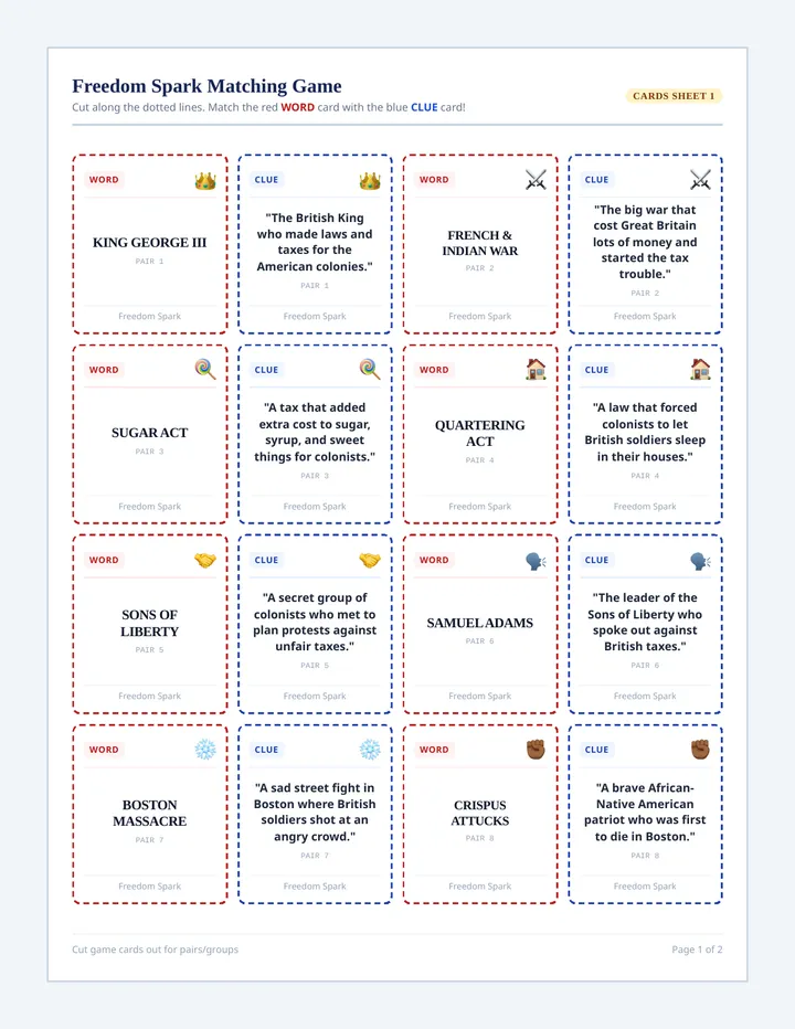
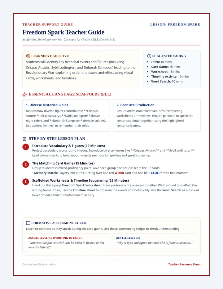
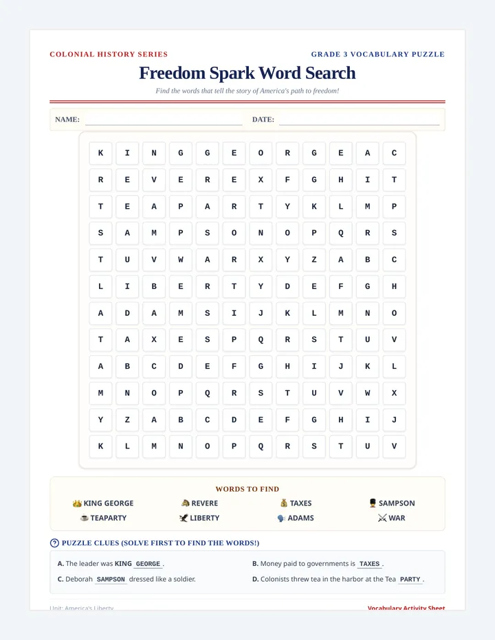
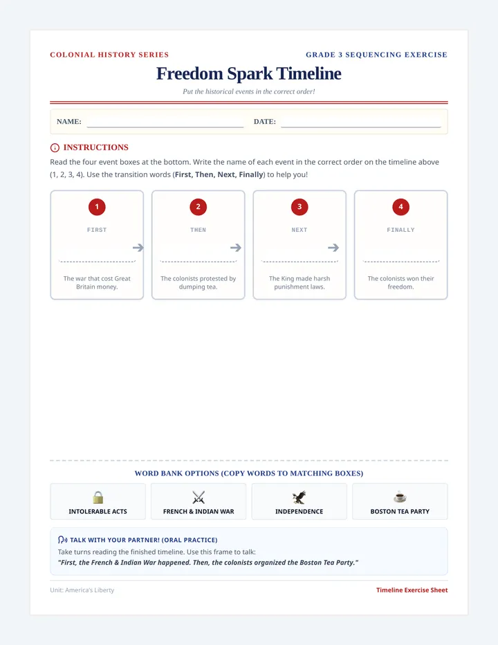
An introductory history lesson on the key events leading to the American Revolutionary War, designed specifically for third-grade English Language Learners (ELL). It includes a visual vocabulary cloze worksheet, interactive matching cards for learning events, and a comprehensive facilitation guide for teachers.
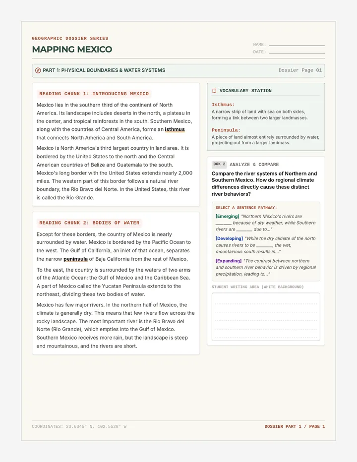
A comprehensive lesson exploring Mexico's physical geography, diverse climates, and distinct economic regions. Students engage in structured side-by-side reading, vocabulary analysis, and DOK2/DOK3 text-dependent analysis.
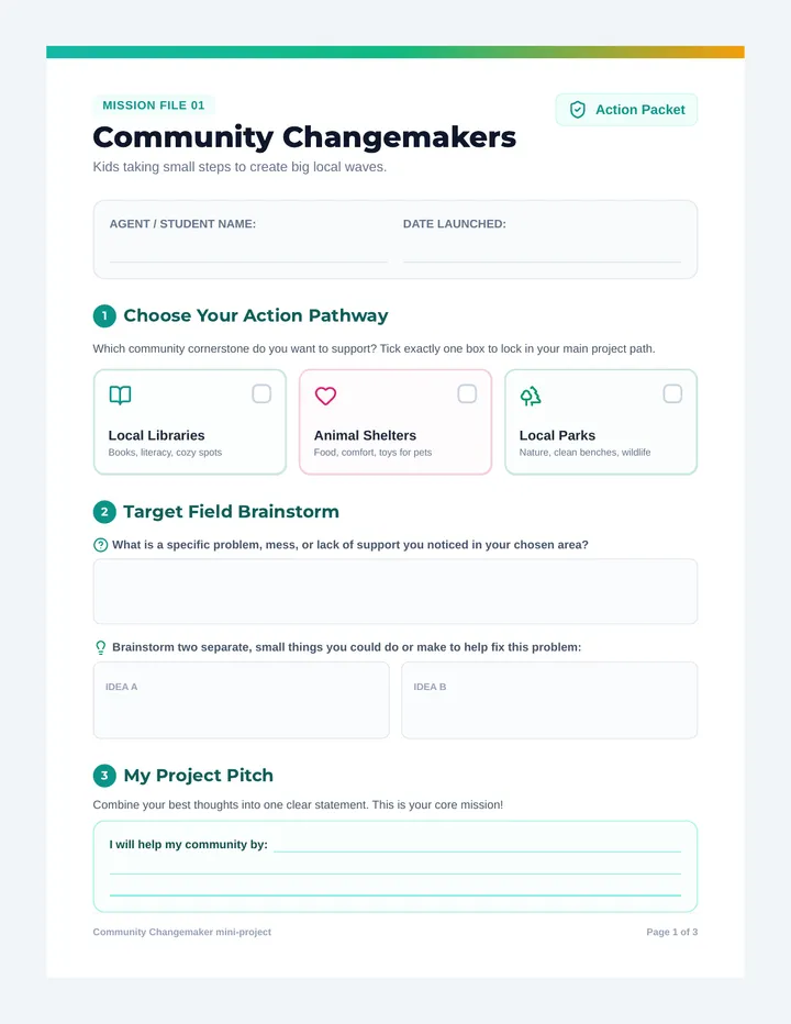
A mini-project curriculum designed to empower young students to become local community changemakers. It guides them through brainstorming, planning, and executing simple, impactful action projects for local libraries, animal shelters, or parks.
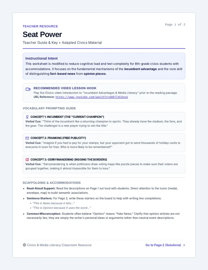
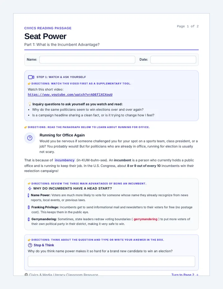
A foundational civics lesson on incumbency, electoral advantages, and media literacy. Students explore why current politicians usually win reelection and learn to distinguish between objective news reports and opinion articles.
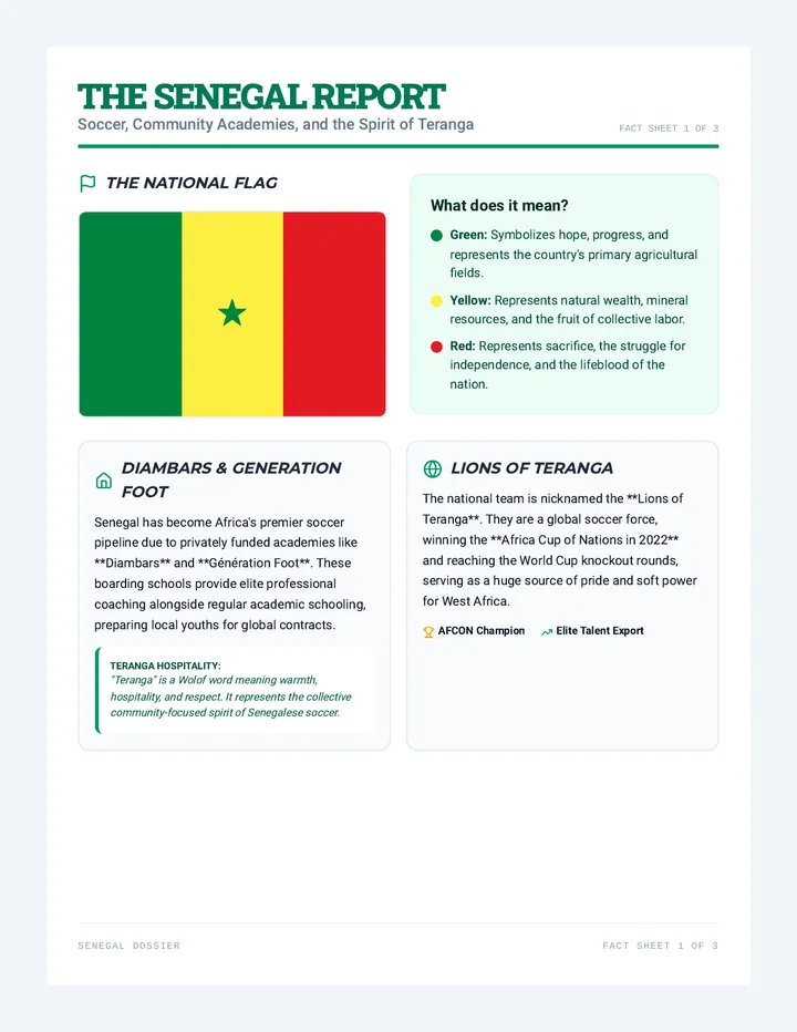
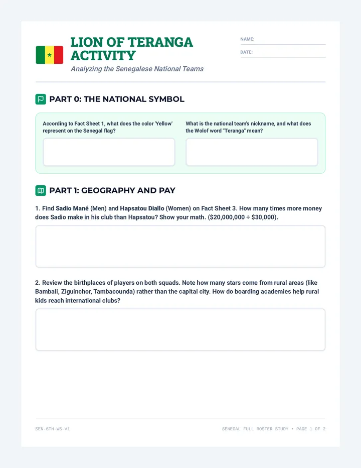
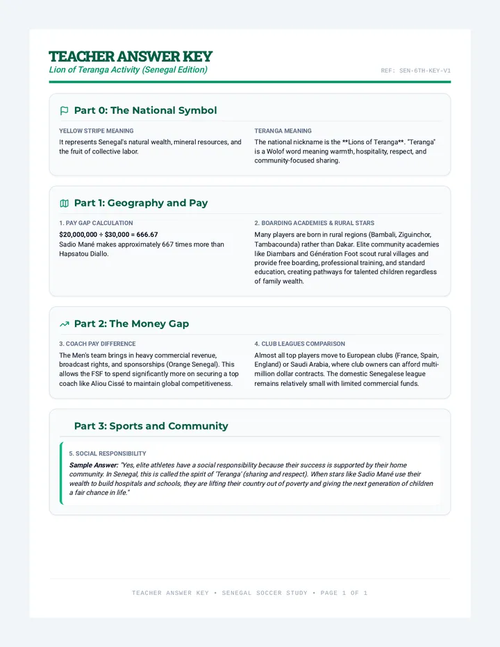
An investigation of Senegal's national soccer program (Lions of Teranga), French-African economic ties, and community soccer academies.
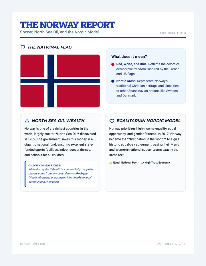
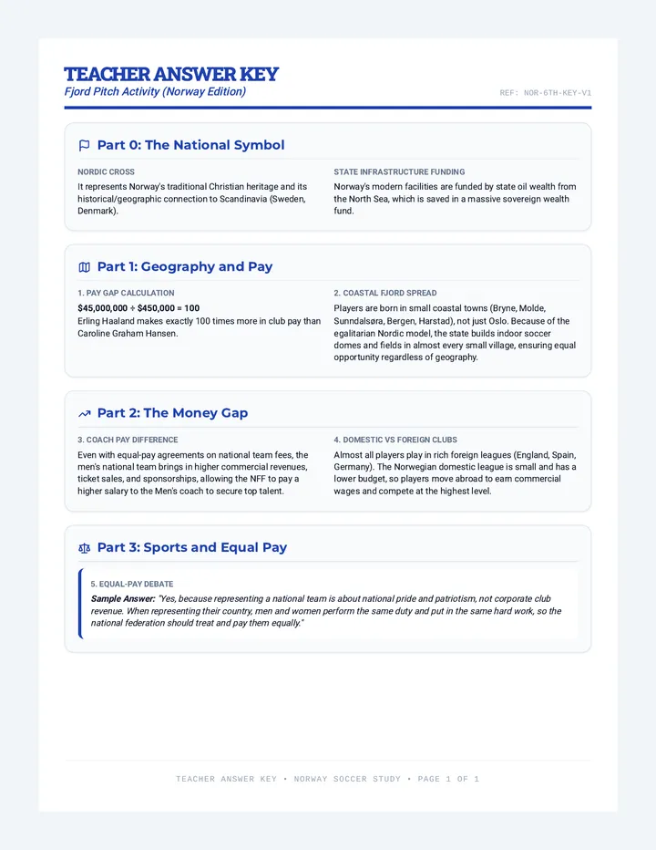
An exploration of Norway's soccer renaissance, wealth from North Sea oil, and its high-income equality model in professional sports.
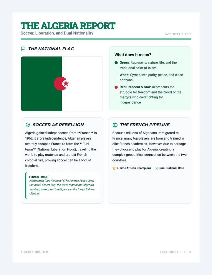
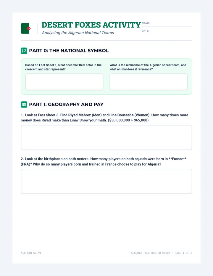
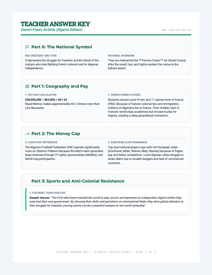
An investigation of Algerian soccer (Fennec Foxes), the geopolitics of French-Algerian dual citizenship, and soccer as a historic symbol of anti-colonial resistance.
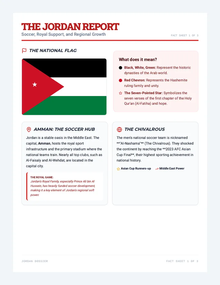
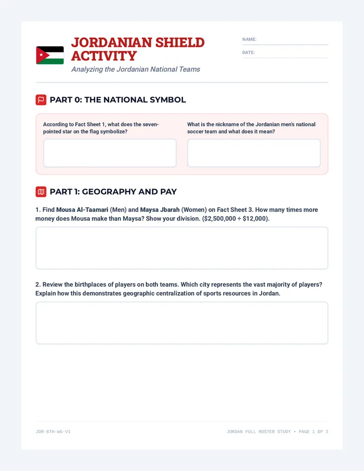
An exploration of Jordan's rise in Asian soccer, regional development, and the geopolitical role of sports infrastructure in the Middle East.
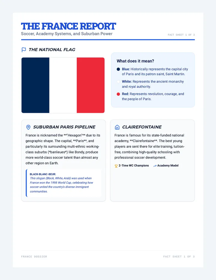
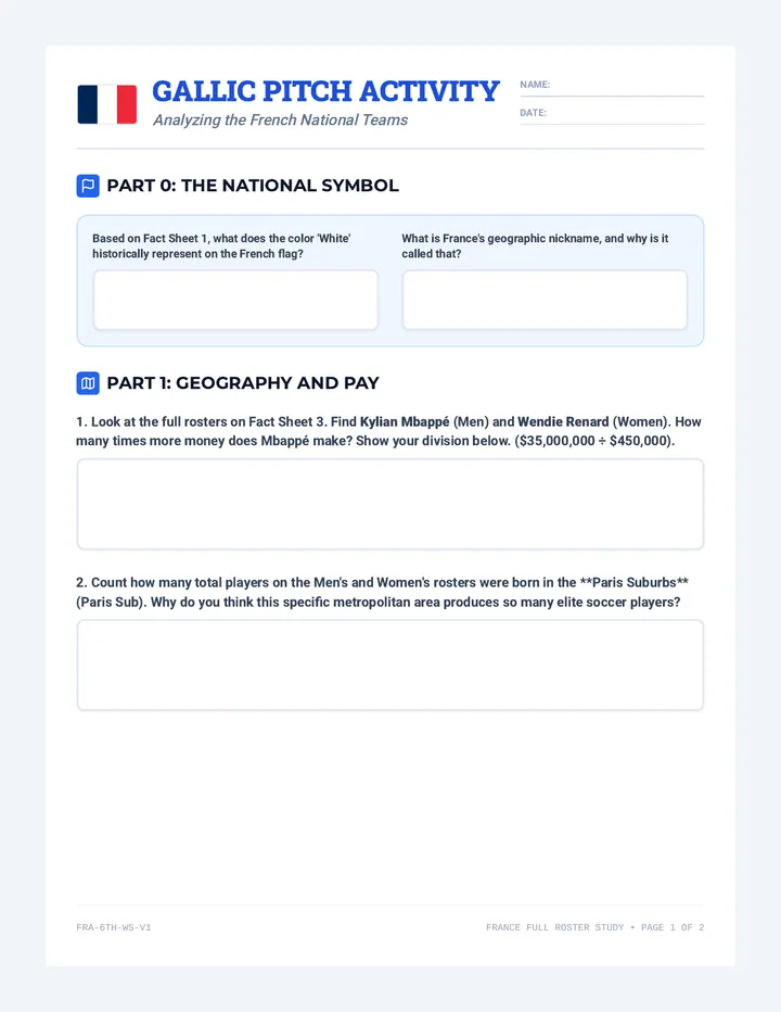
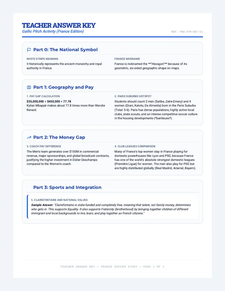
An investigation of France's elite soccer academies, the economics of Ligue 1, and the geopolitics of suburban Paris soccer.
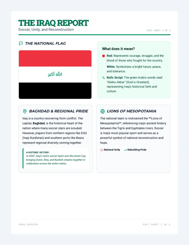
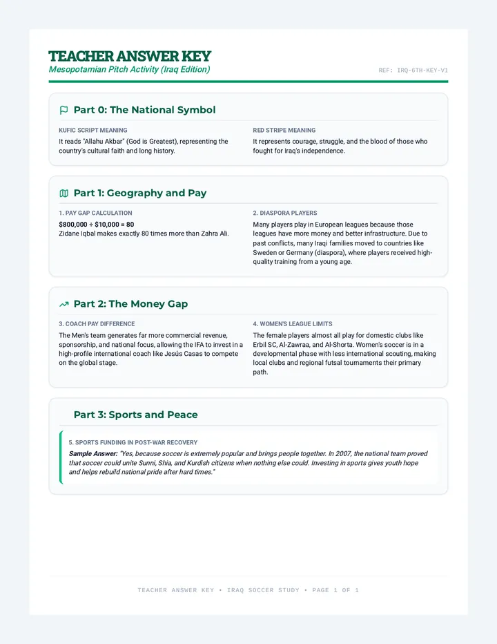
An exploration of soccer, national identity, and post-war reconstruction in Iraq, analyzing the Lions of Mesopotamia national soccer program.