A focused overview of the primary causes and events that ignited the American Revolution, designed for 4th-grade students. This lesson covers the progression from the French and Indian War to the First Continental Congress.
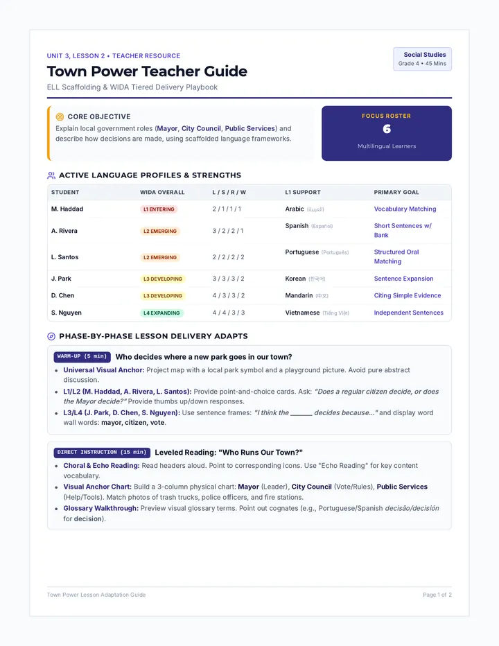
A social studies sequence focused on local civic structures, leadership, and community public services. This unit helps students connect the roles of local government to their daily experiences through highly visual, interactive, and language-scaffolded activities.
An introductory lesson exploring Japan's geographical location, island features, national flag, and a virtual bullet-train route, adapted for students with CVI Phase III.
A visually rich, light-background slide presentation designed for students in Phase III CVI with high visual complexity. Features a dedicated island pronunciation guide with clear phonetic spellings and syllables, elegant visual targets, and clean sans-serif typography.
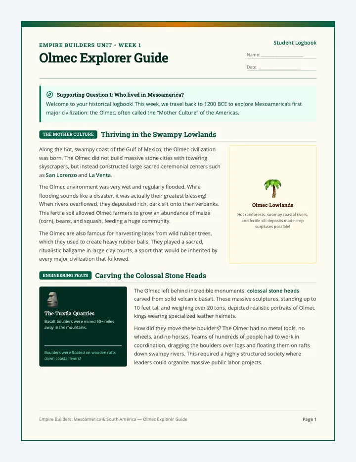
A comprehensive 4th-grade social studies unit where students analyze the Olmec, Maya, Aztec, and Inca civilizations. Through primary-source-style document analysis, geographical exploration, and civic action, students discover what made these empires successful and apply ancient engineering solutions to improve the modern City of Surprise.
A dynamic geography and science lesson where students explore the four primary climate zones of the United States through an interactive slide deck and a map-coloring activity.
A dynamic slide presentation guiding students through the four primary climate zones of the United States with visual descriptions, geographic markers, and activity cues.
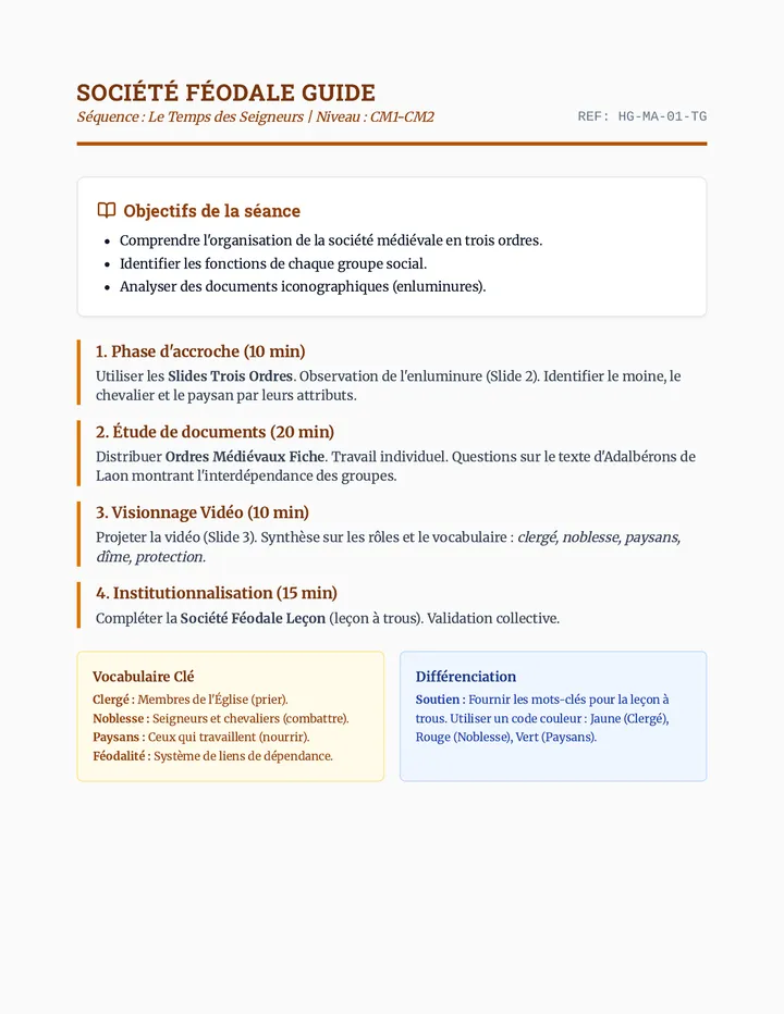
Cette séquence explore l'organisation sociale du Moyen Âge à travers les trois ordres (ceux qui prient, combattent et travaillent) ainsi que l'architecture et le rôle défensif des châteaux forts. Elle alterne entre analyse de documents historiques, visionnage de vidéos et synthèses créatives.
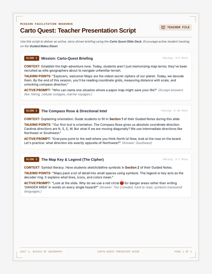
An immersive introduction to essential map skills for fifth-grade students. This lesson covers key map elements including the compass rose, map scale, map keys/legends, and coordinate grid systems, turning students into active cartographers.
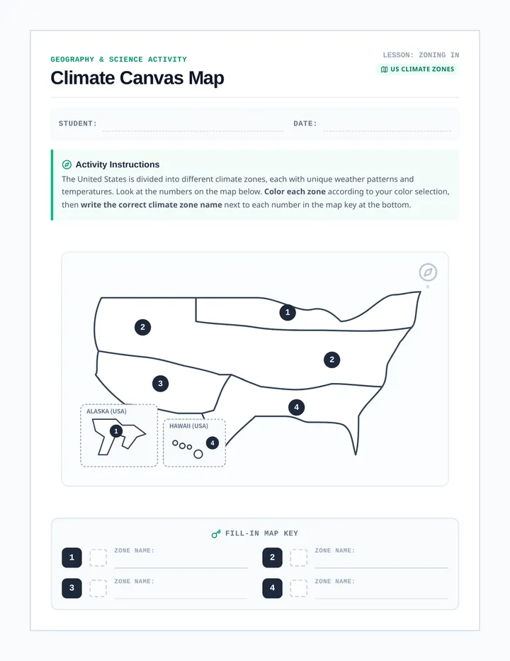
A beautifully styled student worksheet featuring a blank outline map of the United States divided and numbered into four distinct climate zones, complete with a fill-in coloring key.
Une séquence de sensibilisation aux enjeux du numérique pour les classes de CM1-CM2, couvrant l'identité numérique, la sécurité, la santé et l'impact environnemental. Cette séquence vise à former des citoyens numériques responsables et éclairés.
An interactive, inquiry-driven lesson centered around the 250th anniversary of the United States. Students explore direct-recall historical facts from a KidNuz broadcast, engaging in visual trivia, transcript analysis, and literal comprehension checks.
A comprehensive presentation guide for teachers, mapping out each slide with clear talking points, student prompts, and key insights.