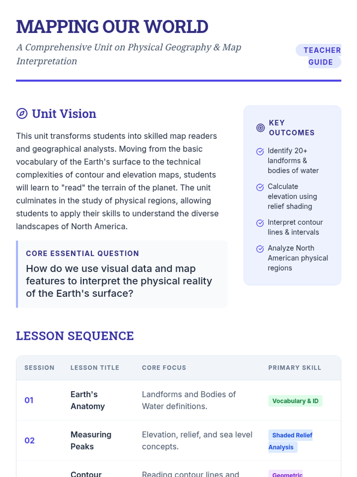
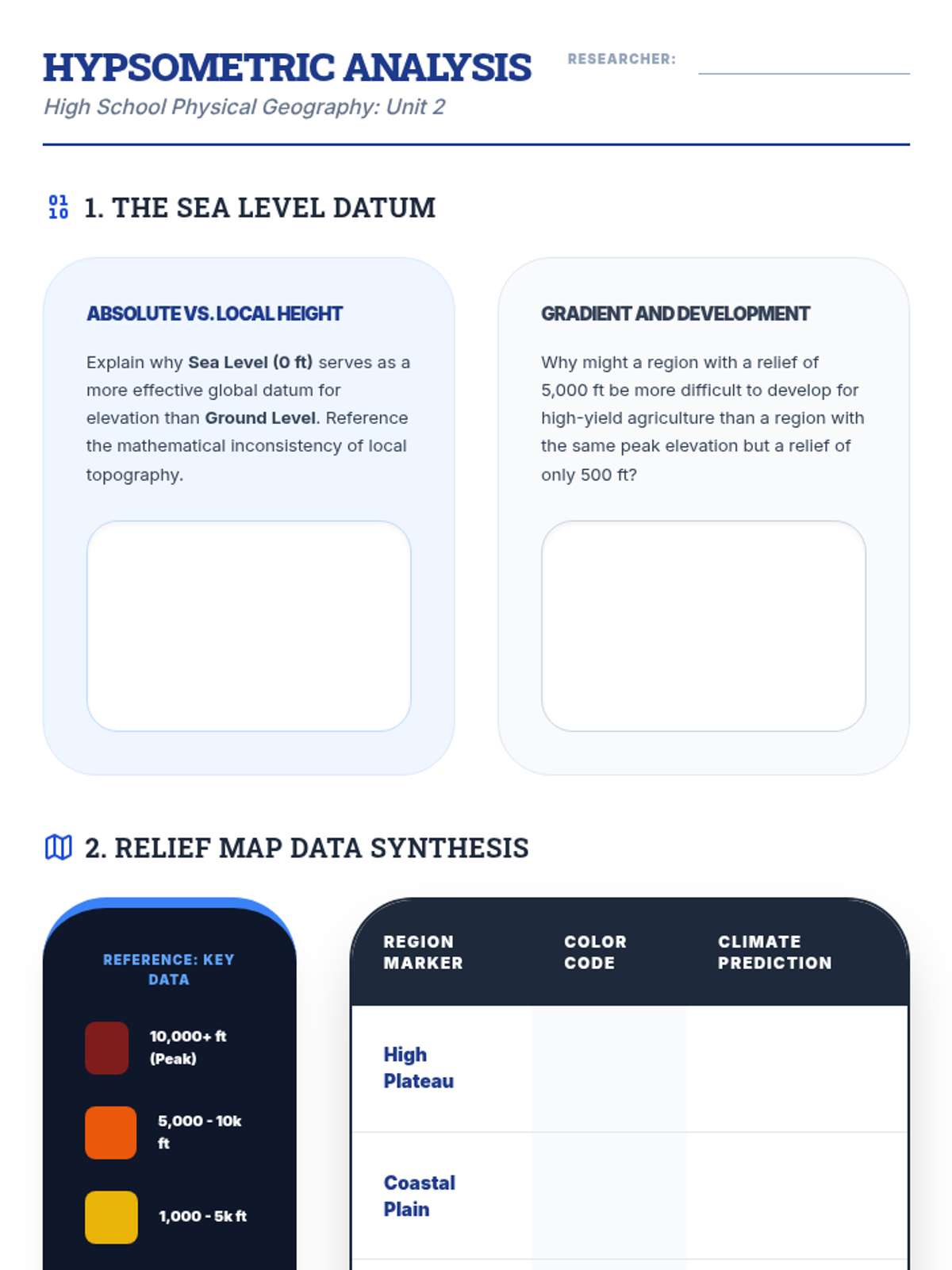
Using contour maps to visualize 3D terrain and calculate gradients across various global landscapes.
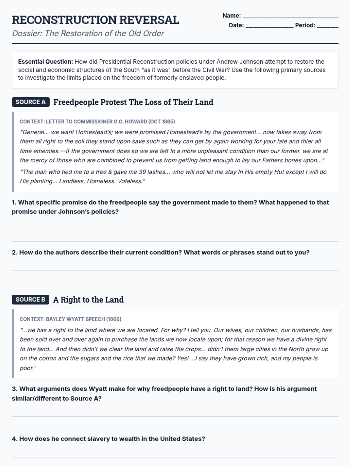
A deep dive into the policies of Presidential Reconstruction and how they systematically returned power to white Southerners while limiting the freedom of formerly enslaved people through land seizure, sharecropping, and Black Codes.
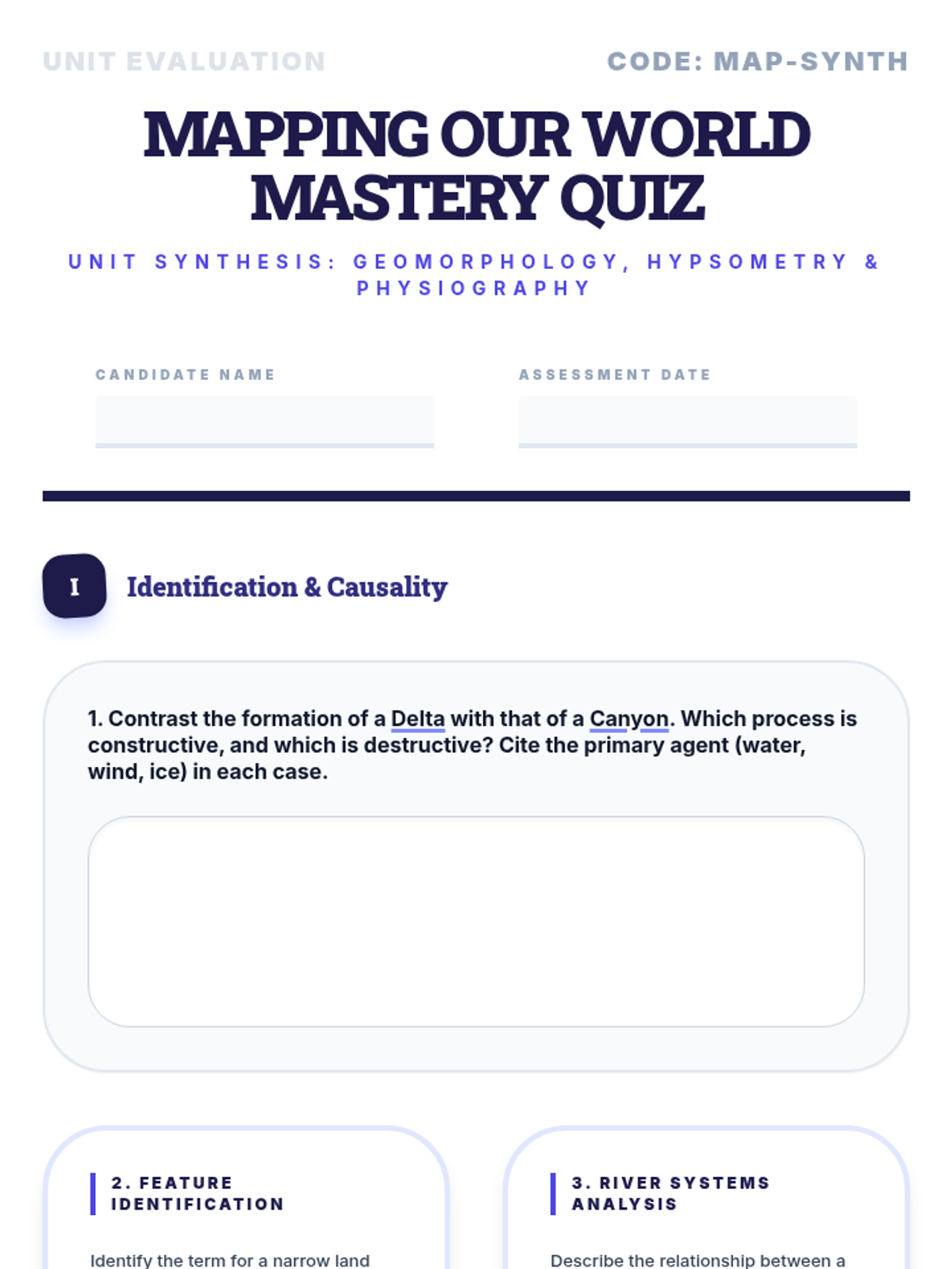
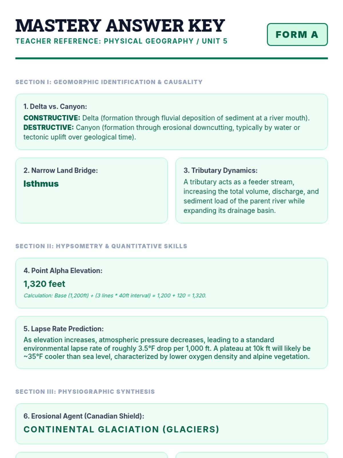
A final assessment and review lesson to verify student mastery of the unit's geography skills.
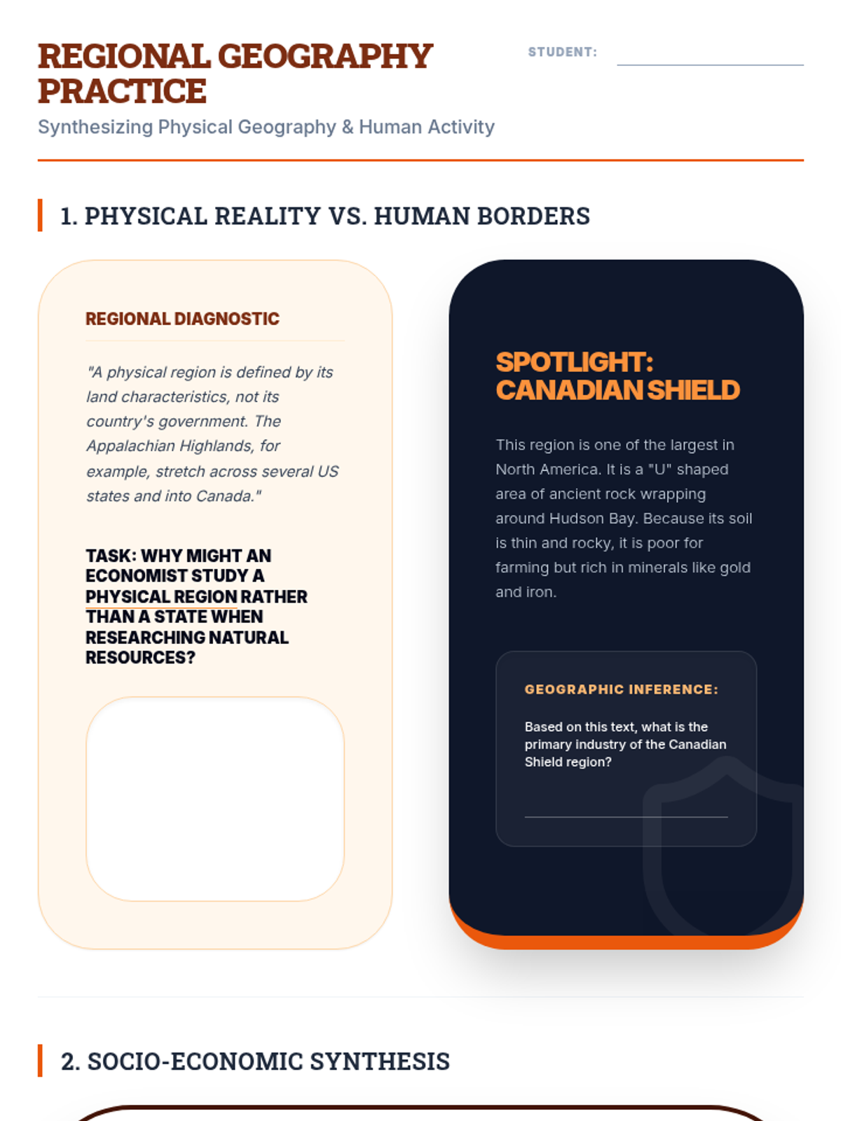
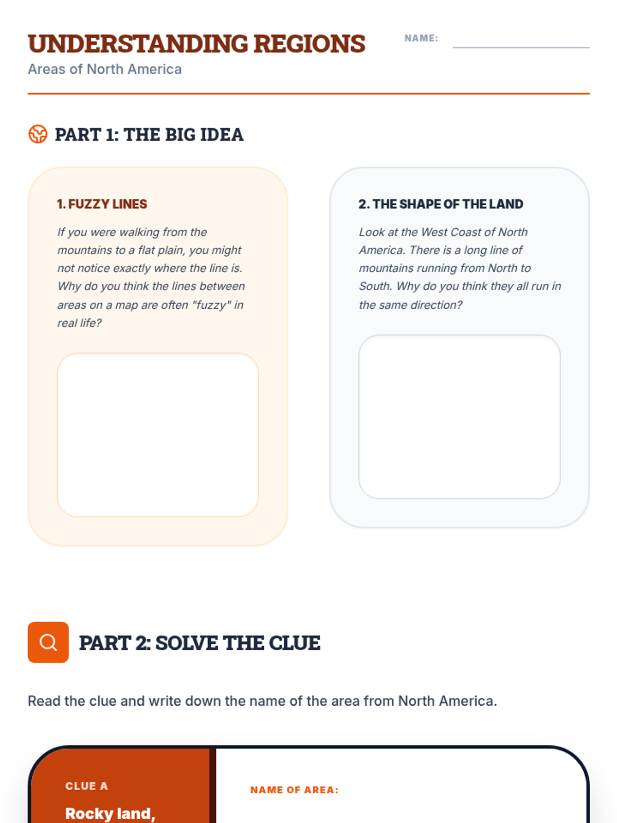
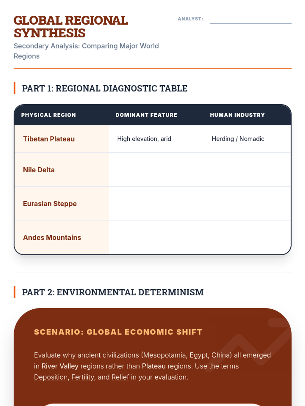
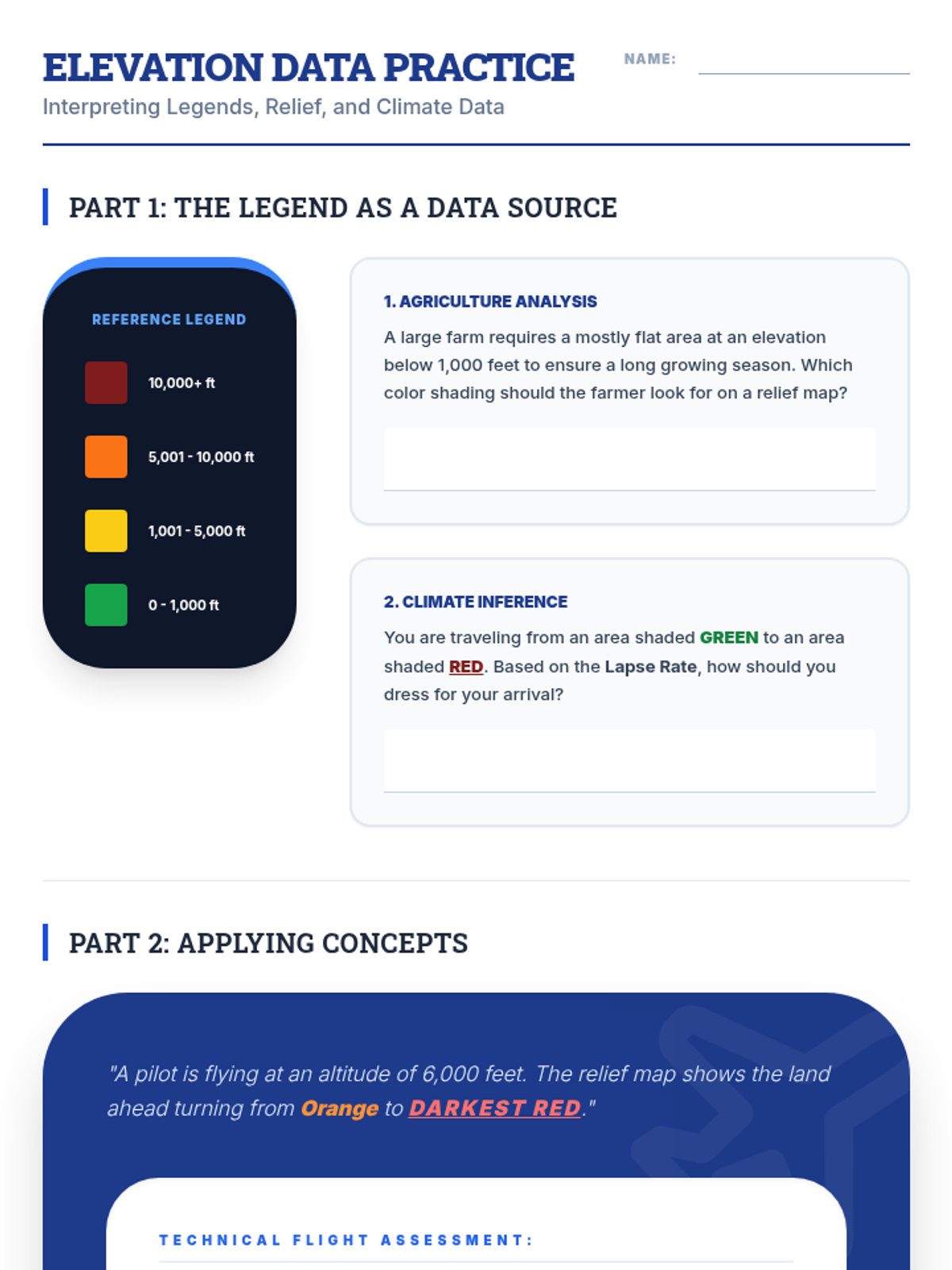
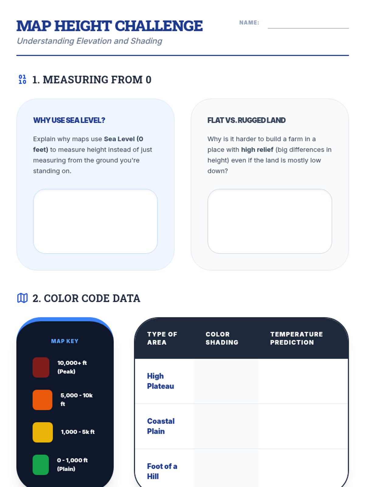
Analyzing the major physical regions of the world and their impact on human settlement and activity.
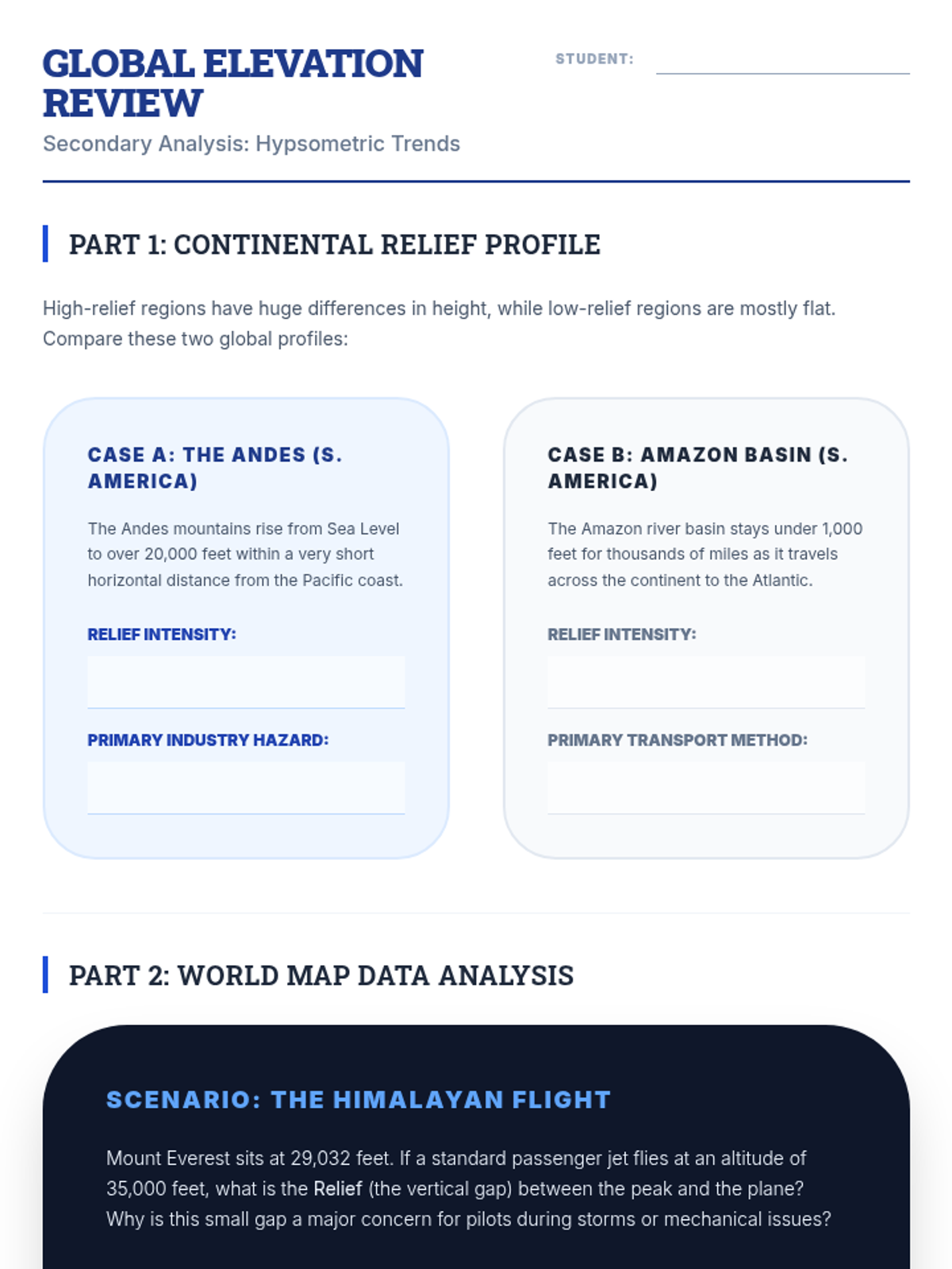
Mastering the use of relief shading and elevation data to interpret global mountain ranges and basins.