Essential safety protocols, map reading, and compass navigation for wilderness environments. Strengthens group dynamics and problem-solving through structured outdoor team-building challenges.
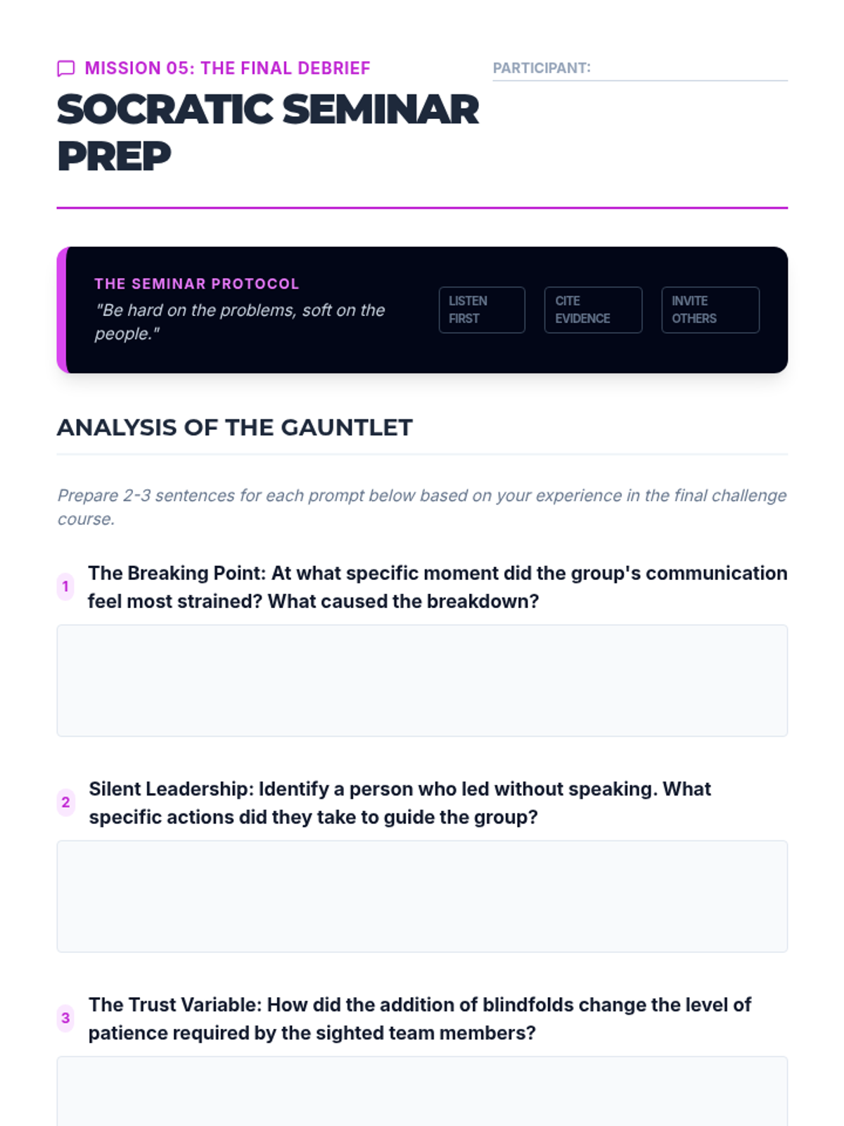
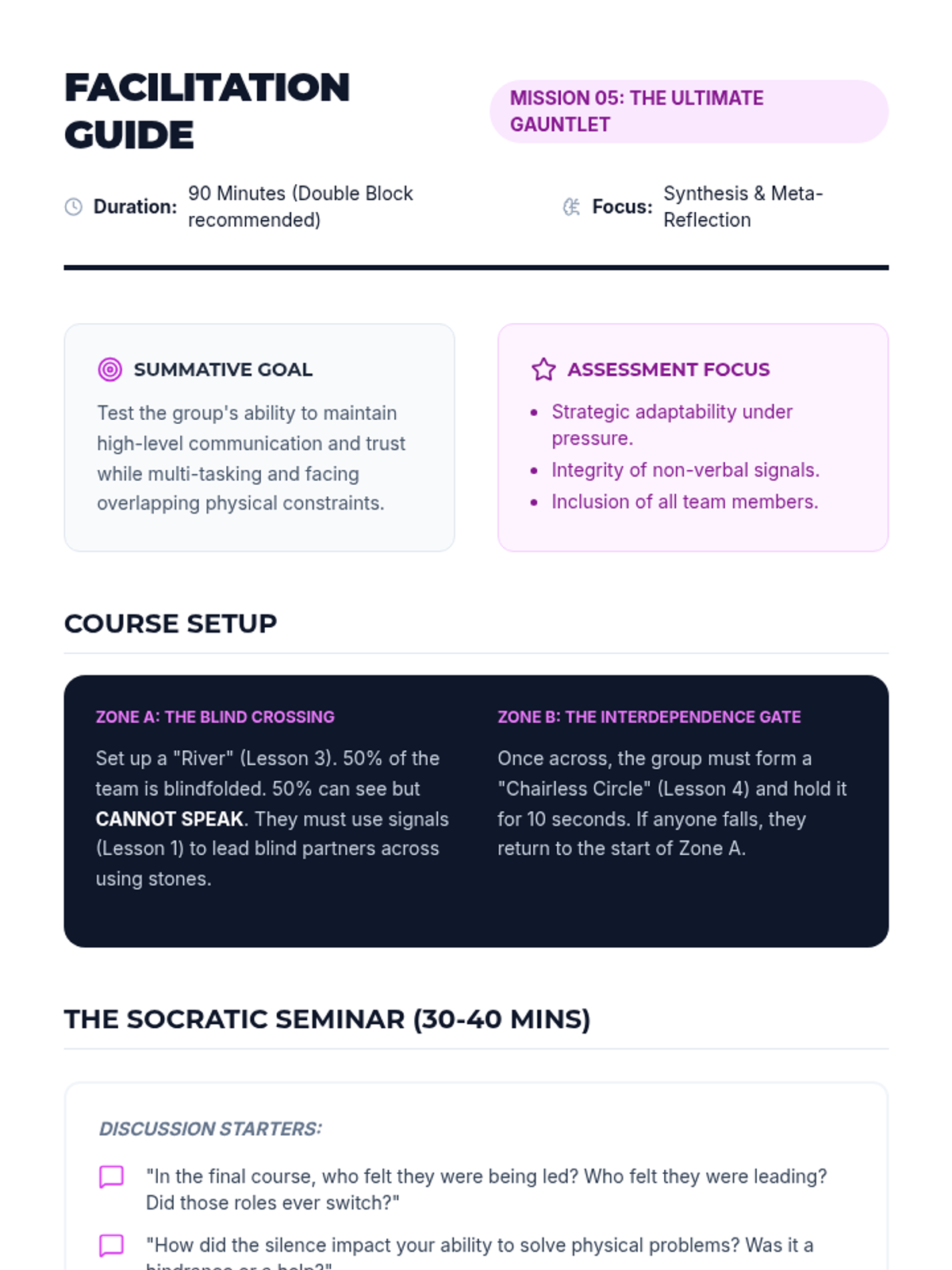
The sequence culminates in a multi-stage challenge course followed by a Socratic seminar to deconstruct group dynamics and leadership roles during high-pressure situations.
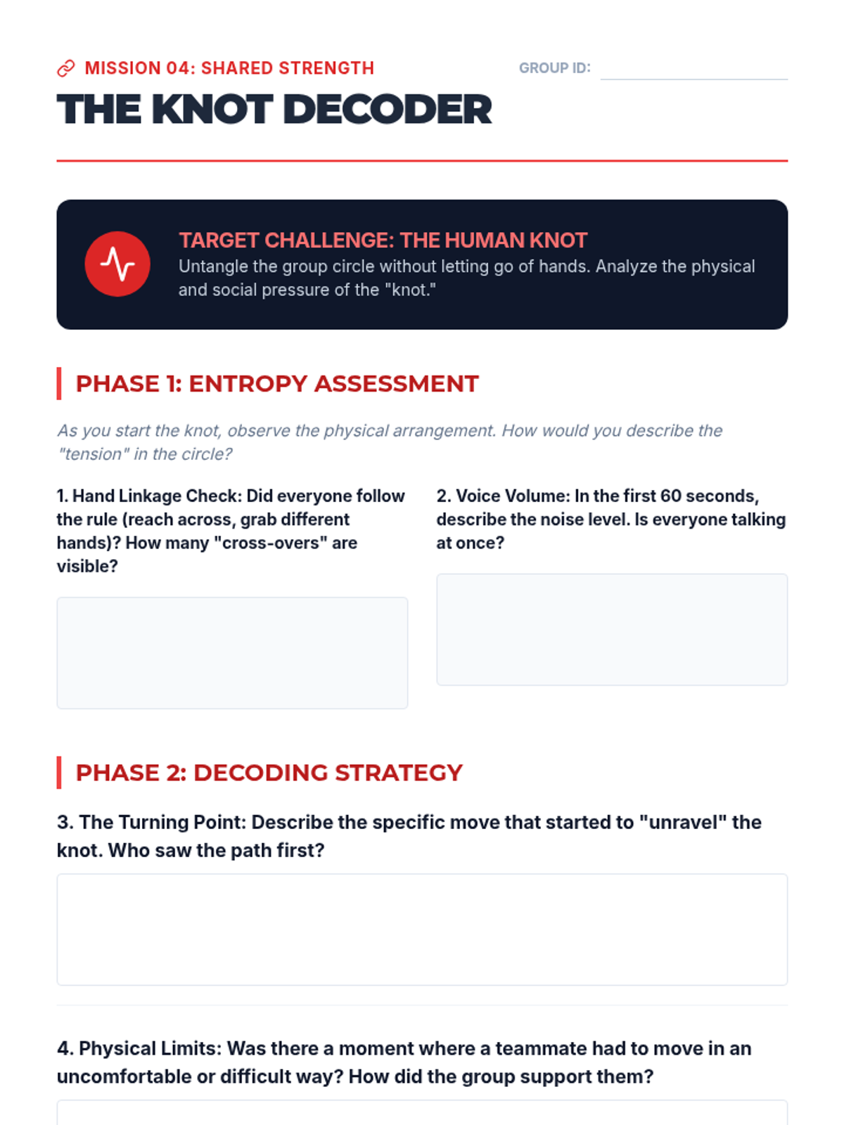
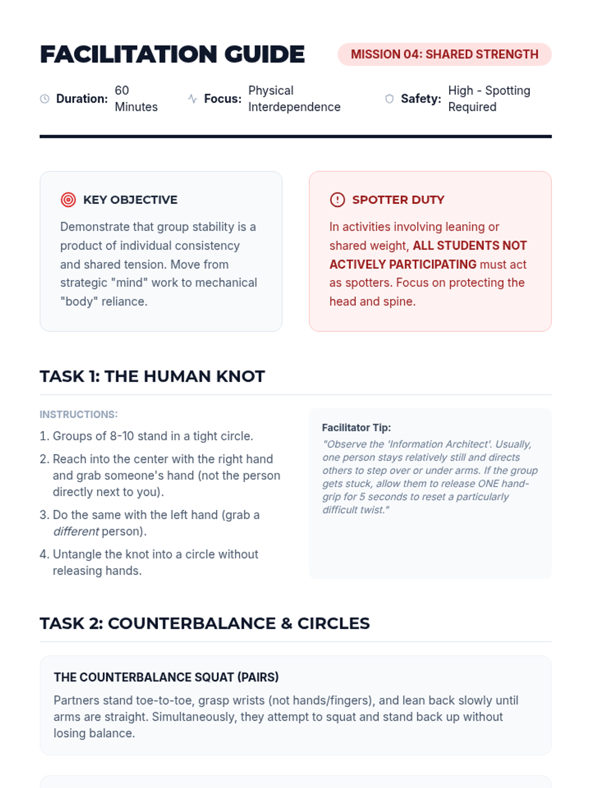
Students engage in activities requiring shared physical weight and support, such as the Human Knot and Counterbalance Squats. The focus is on team synchronicity and safety spotting.
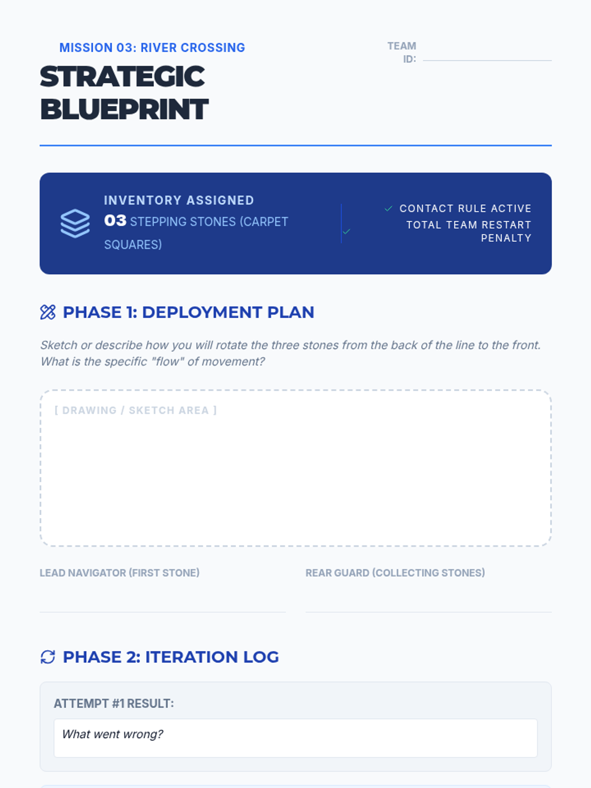
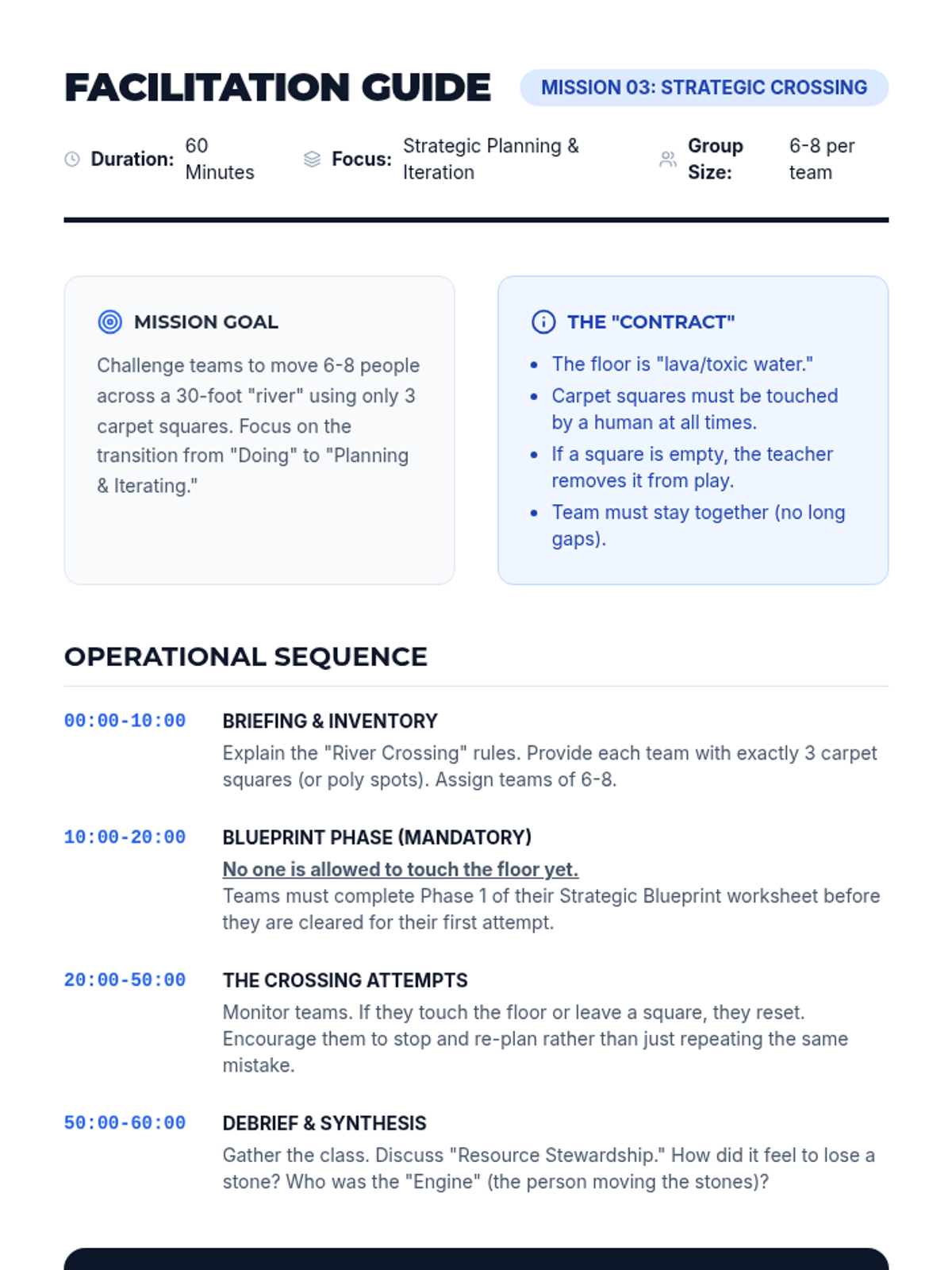
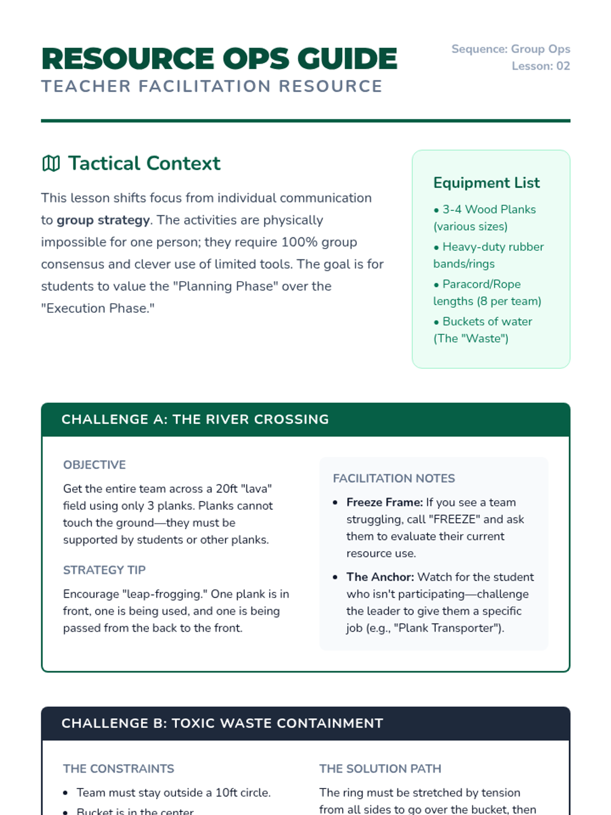
Teams cross a 'river' using limited equipment, emphasizing strategic planning and equitable resource allocation. Students learn to iterate on their plans when initial strategies fail.
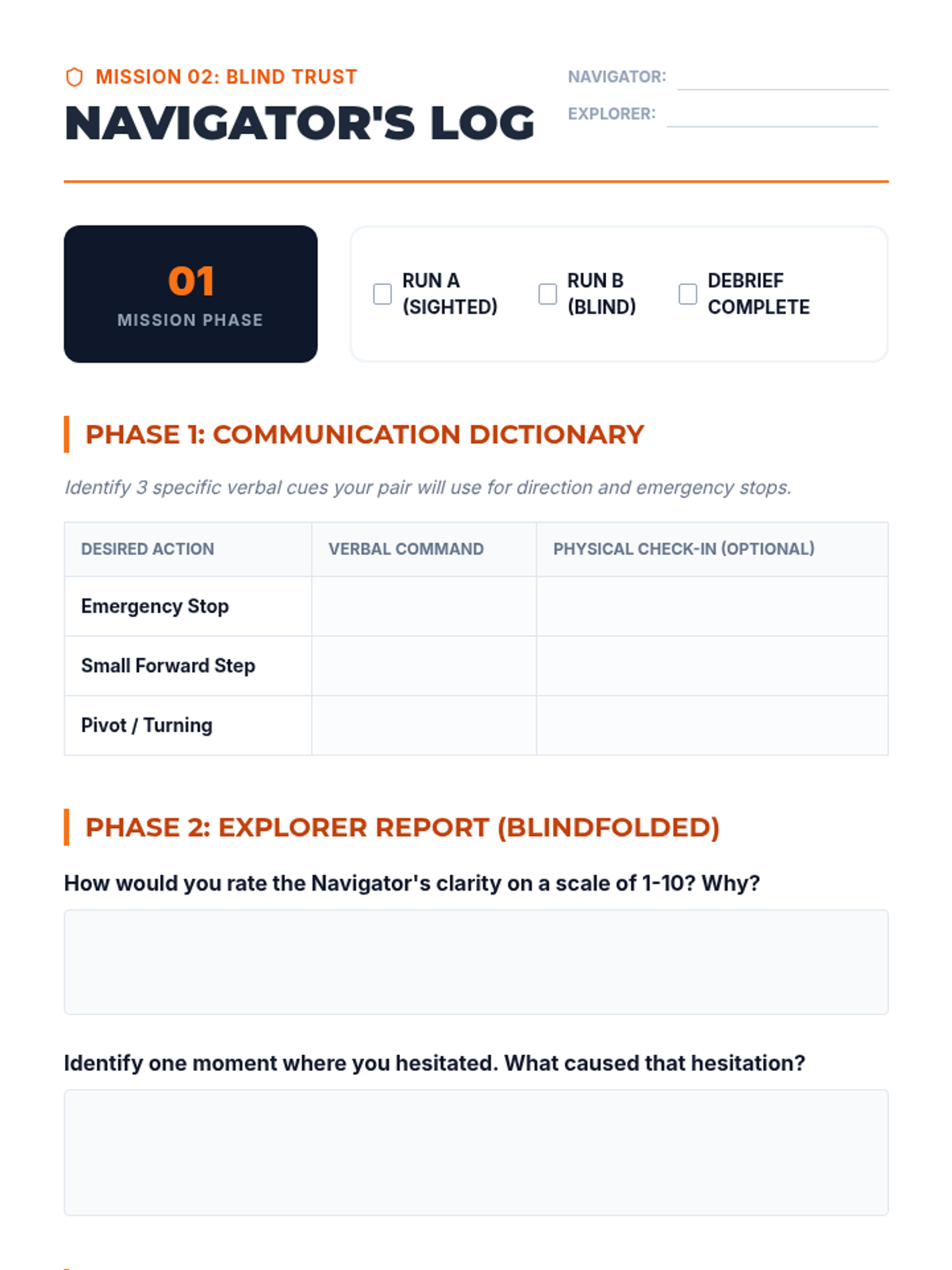
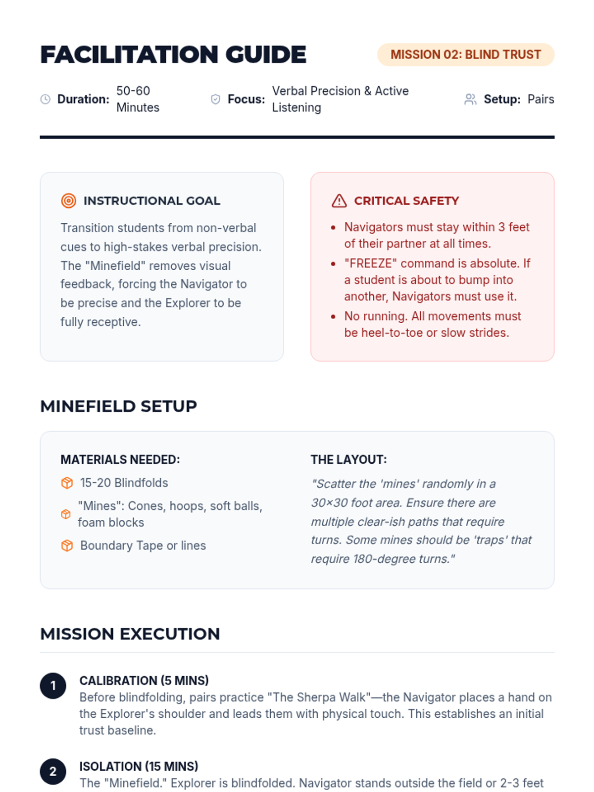
Pairs and small groups engage in blindfolded navigation exercises like 'Minefield' and 'Sherpa Walk' to isolate verbal communication and build interpersonal trust. Students analyze the precision of language and active listening.
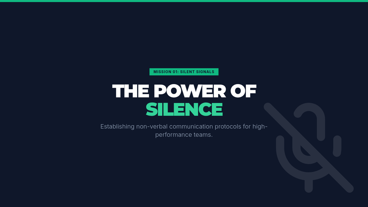
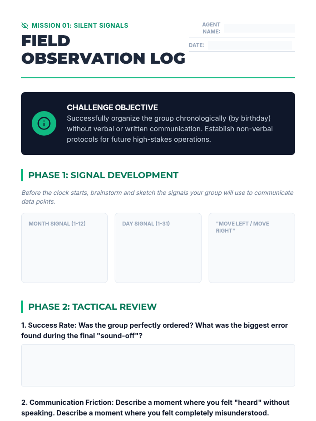
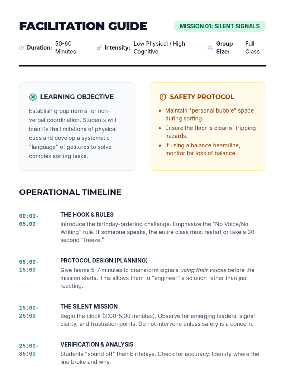
Students participate in silent organization tasks to establish group norms and explore the power of non-verbal communication. The focus is on body language, spatial awareness, and interpreting unspoken cues.
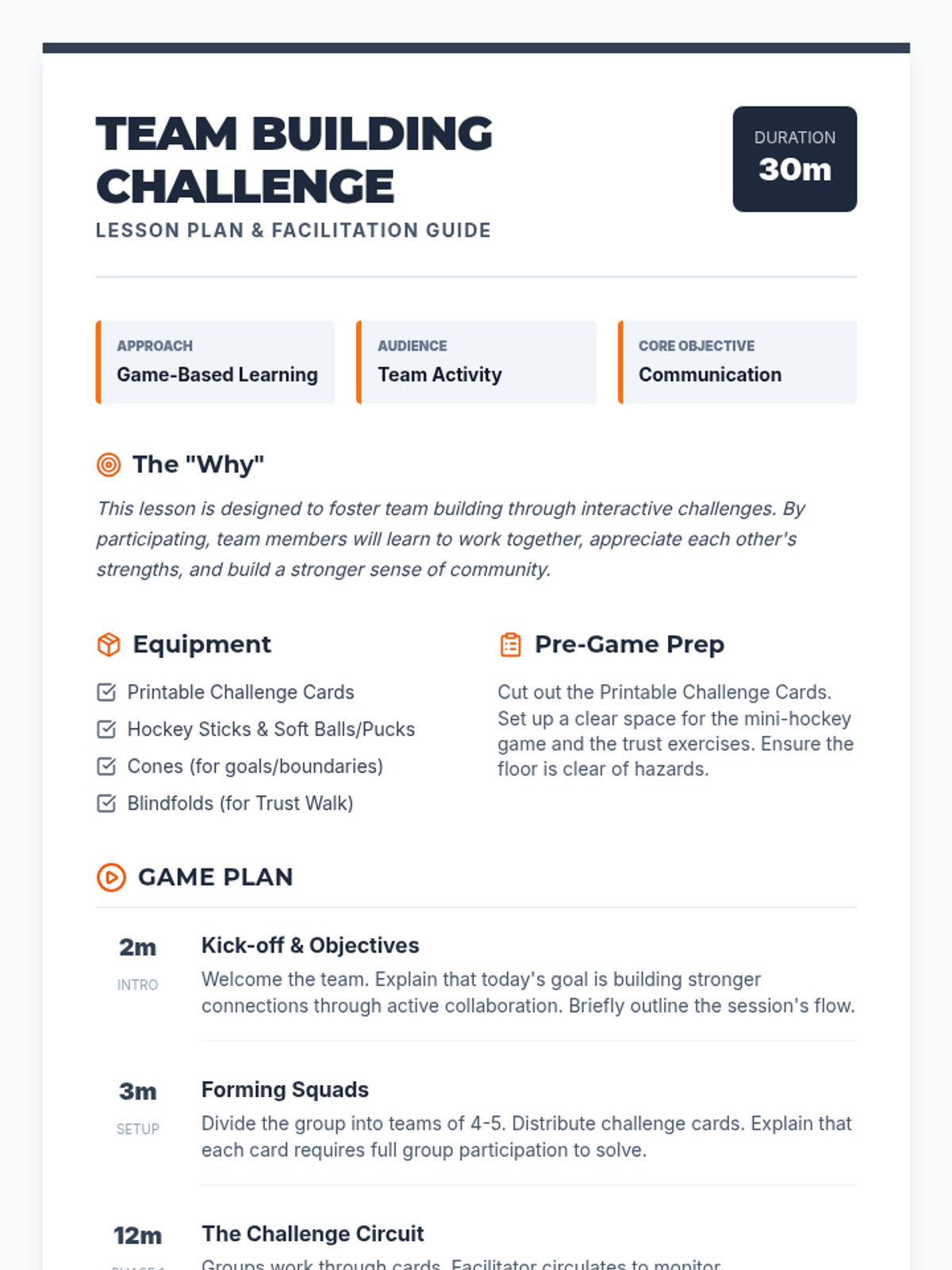
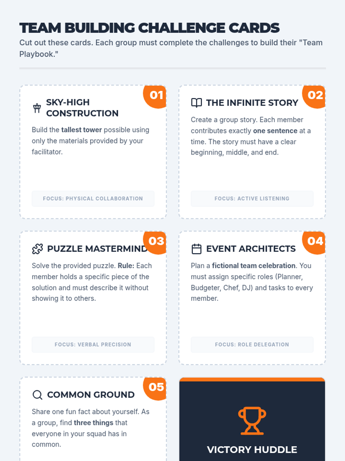
A high-energy team-building lesson focused on communication, trust, and collaboration through interactive challenges and a hockey-themed strategy game.
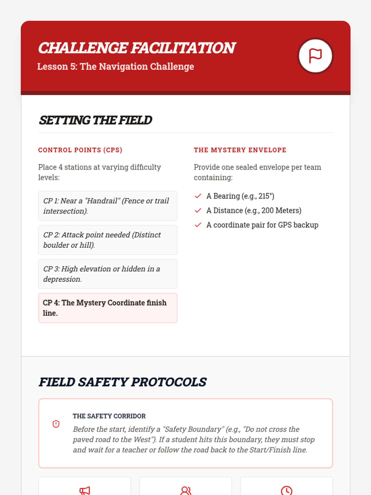
A culminating field lesson where students combine map, compass, and fitness skills to complete a timed orienteering course.
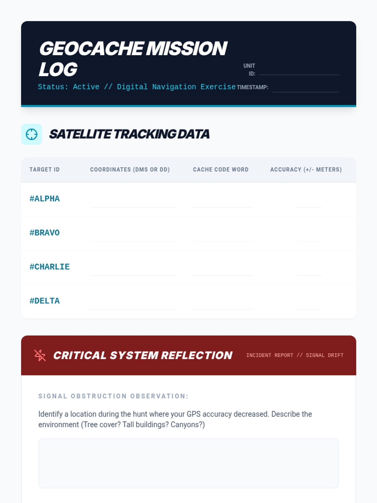
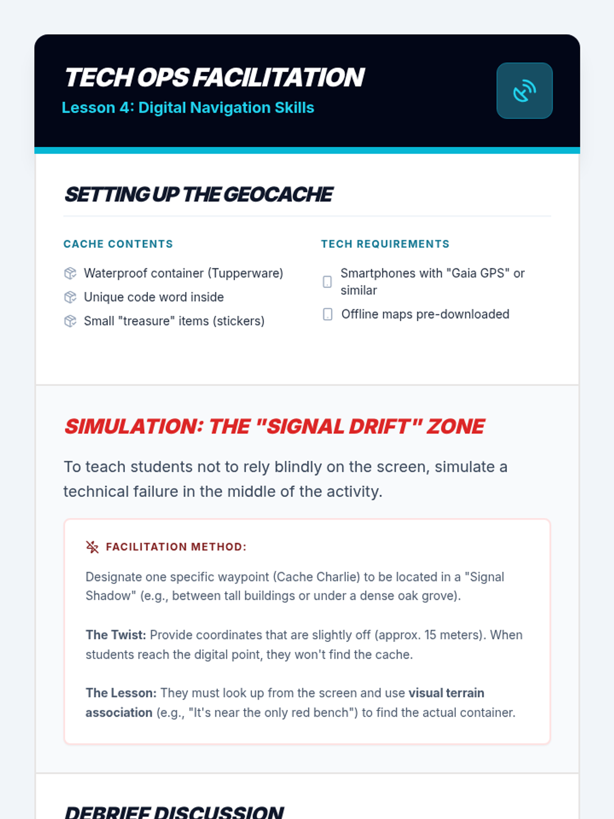
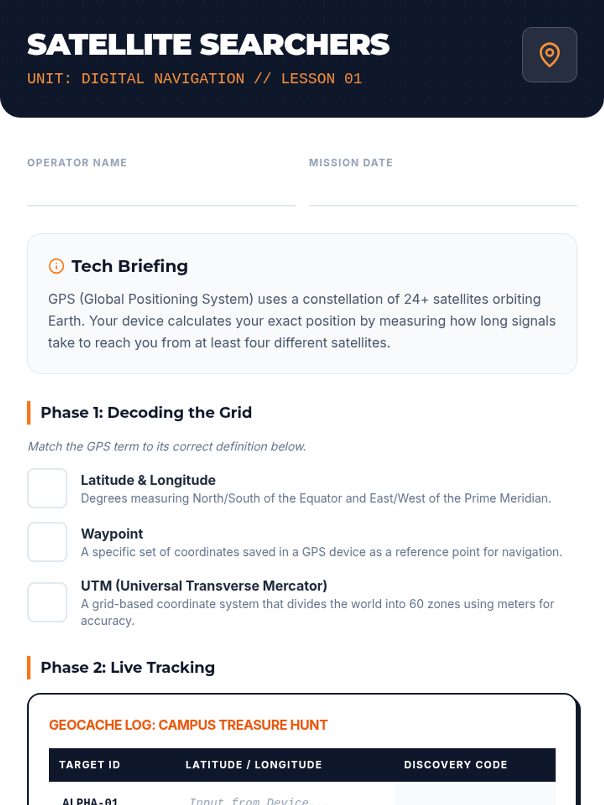
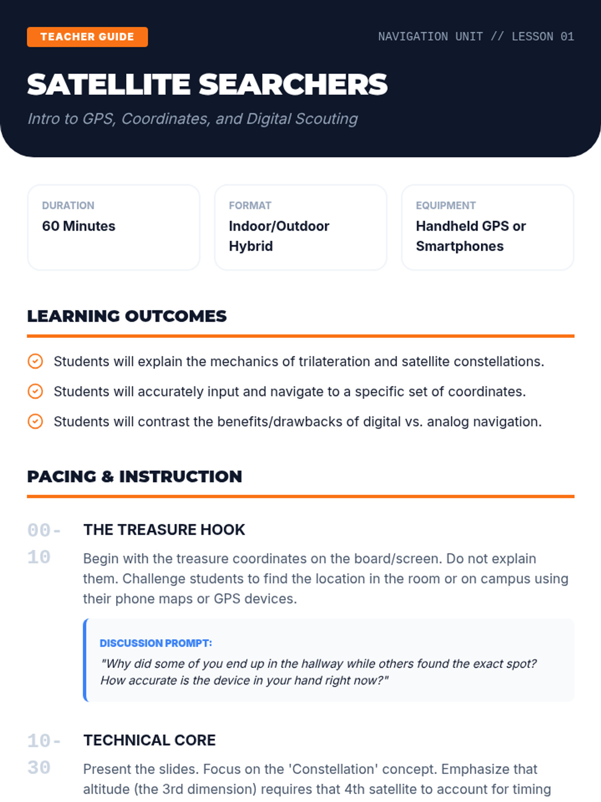
Students bridge traditional skills with modern technology by learning how to use GPS devices and smartphone applications for navigation.
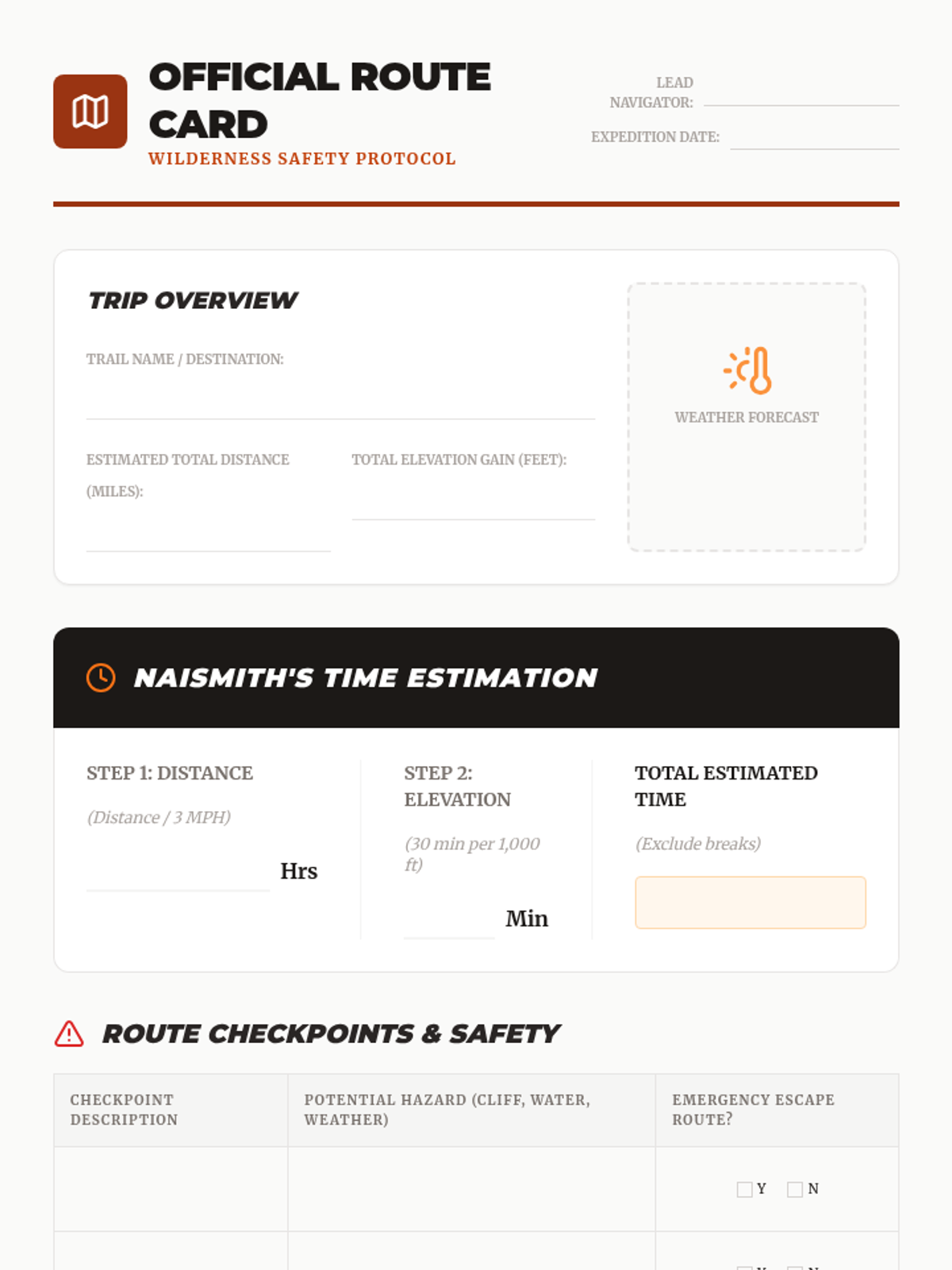
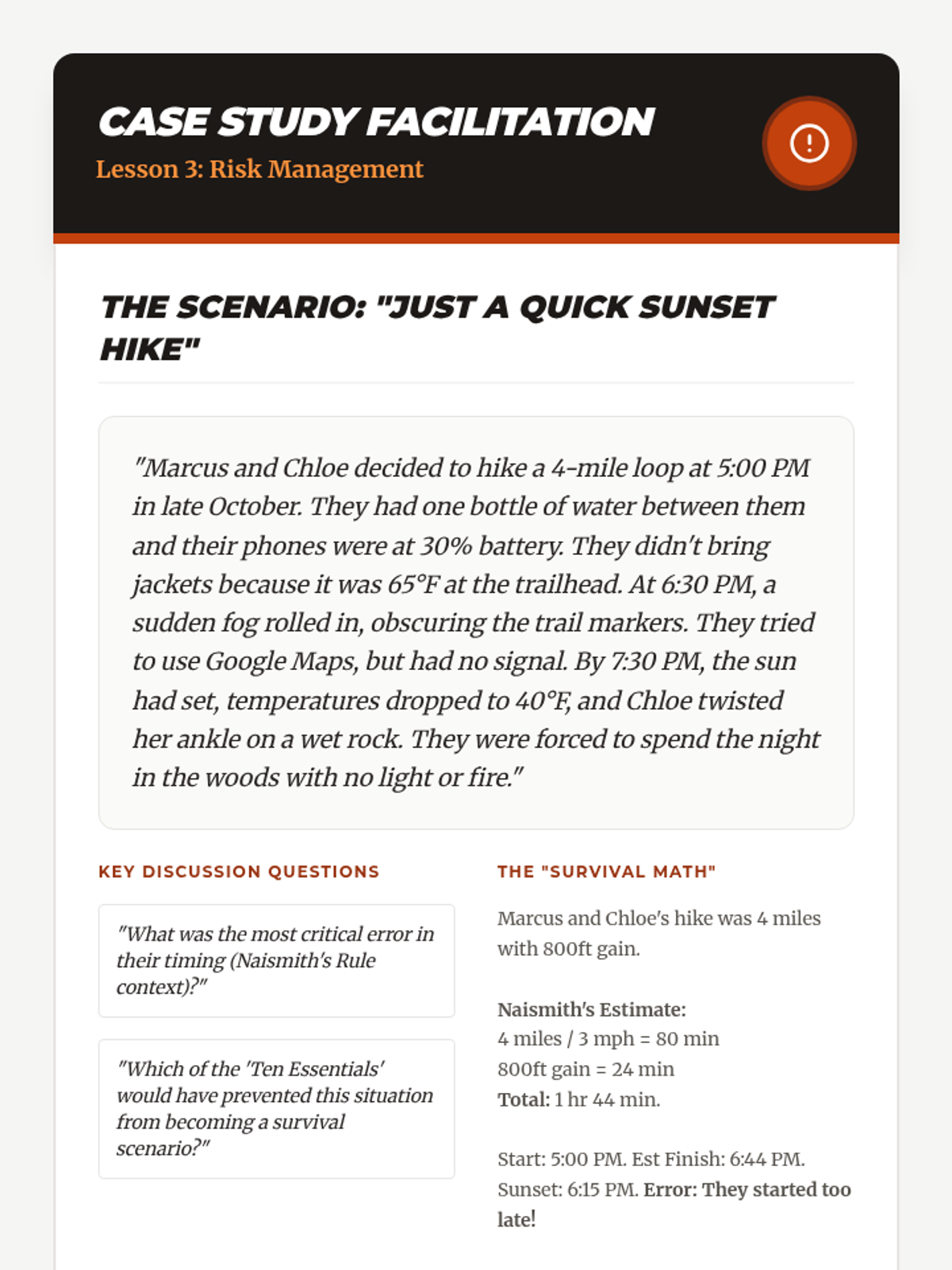
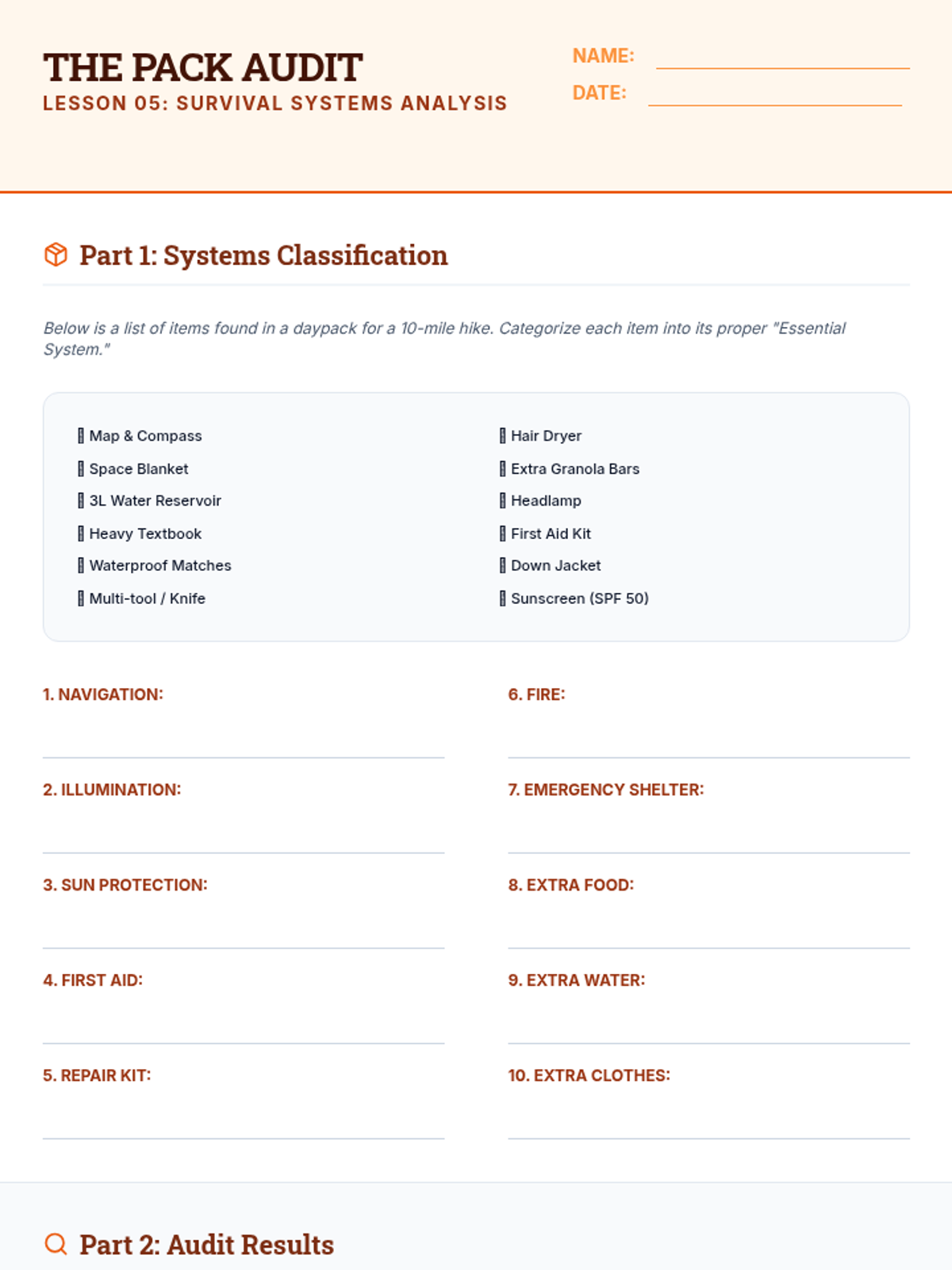
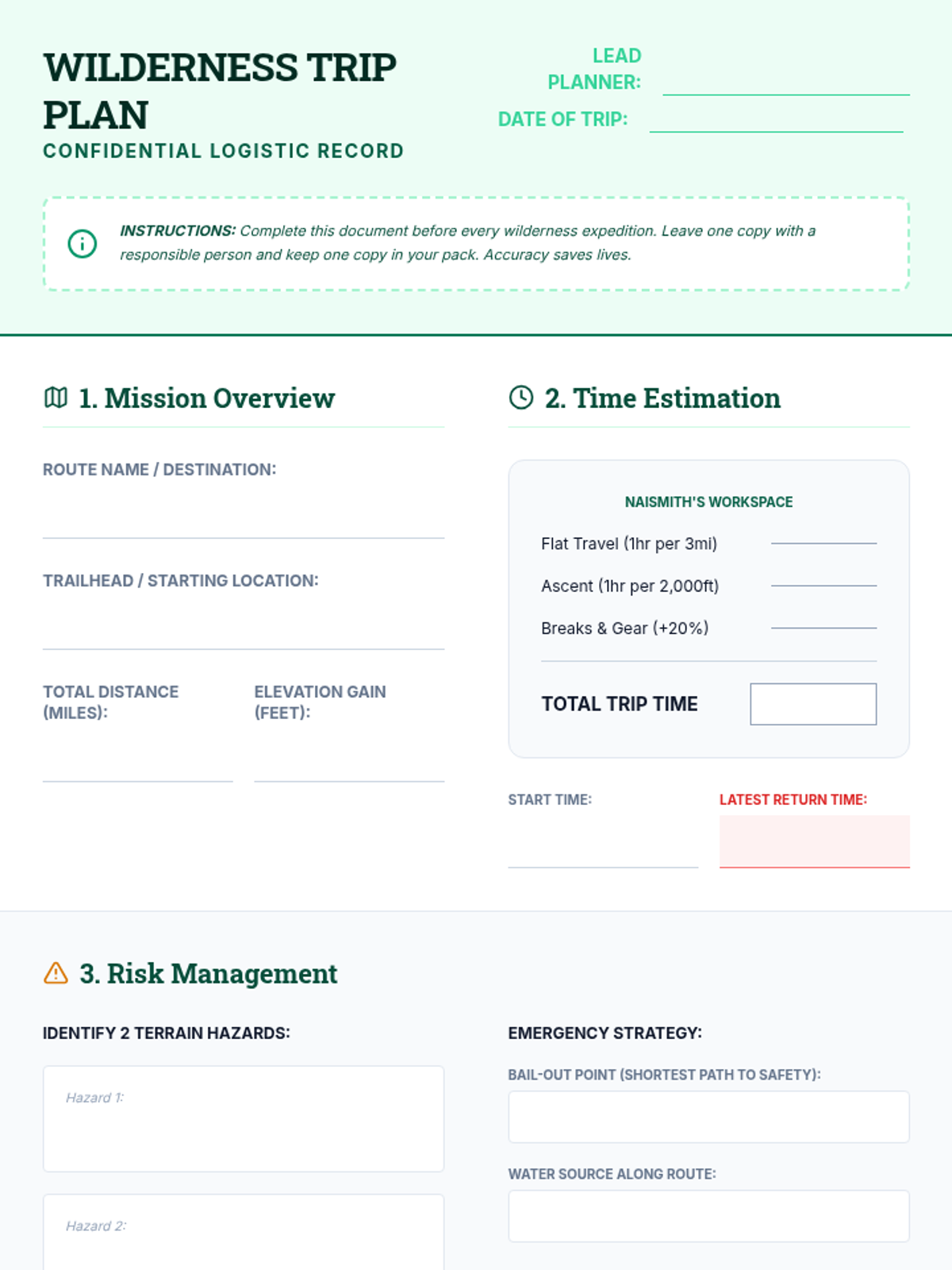
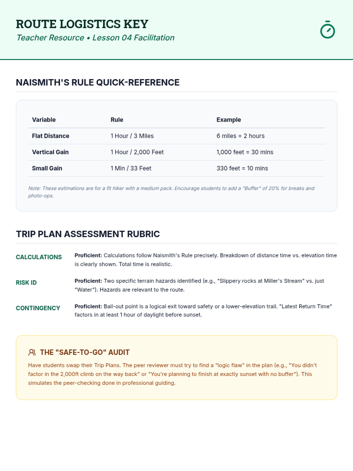
Focusing on the 'Ten Essentials' and trip planning, students learn how to calculate travel time and assess environmental hazards.
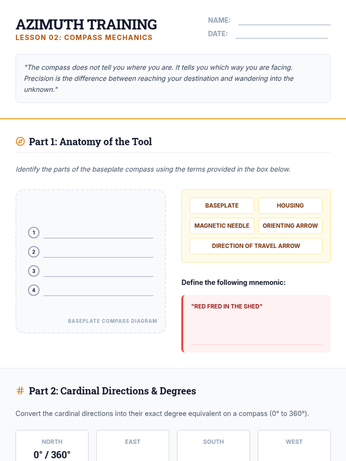
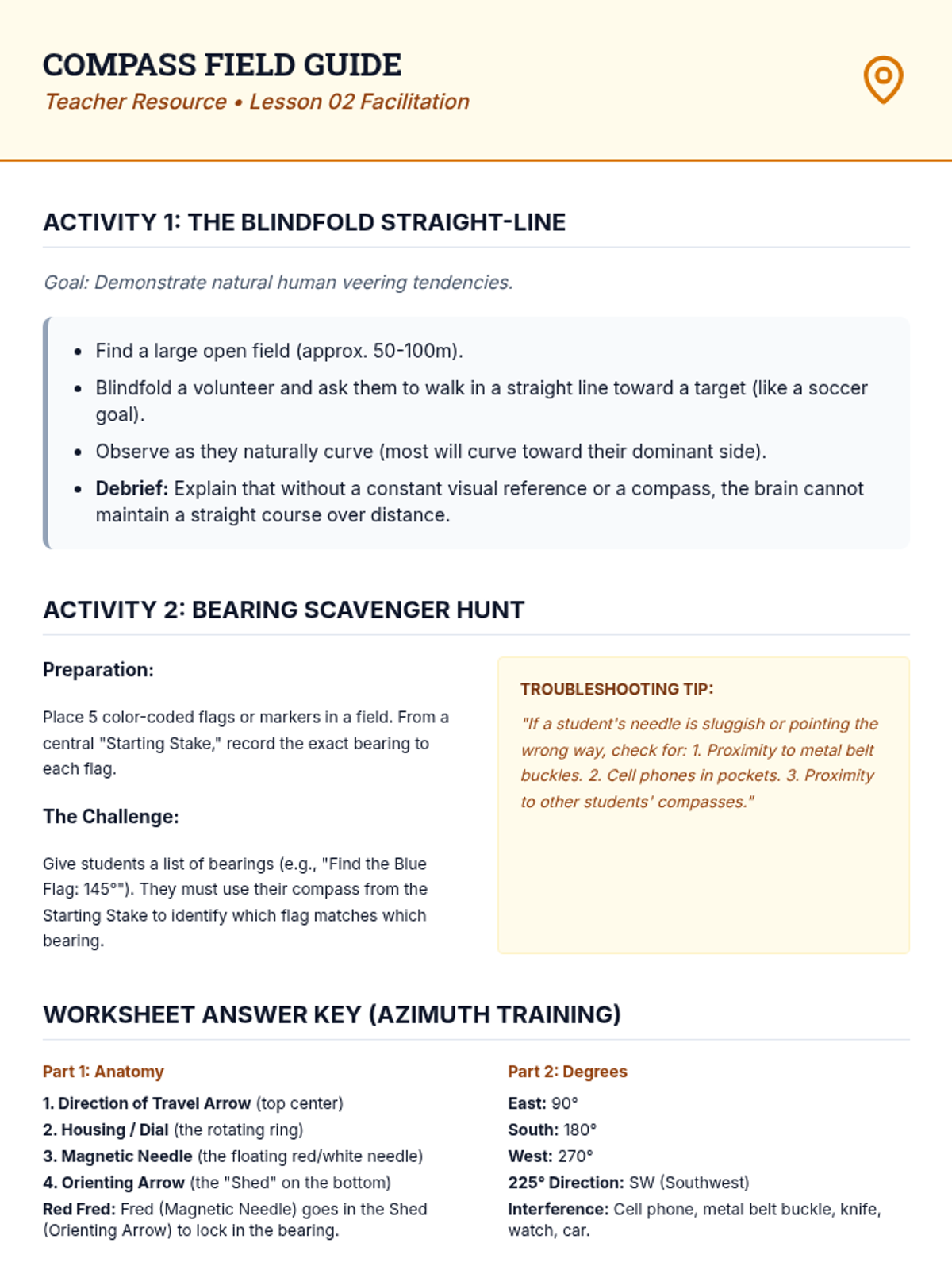
This lesson introduces the anatomy of a compass and the critical distinction between true north and magnetic north, including shooting bearings.
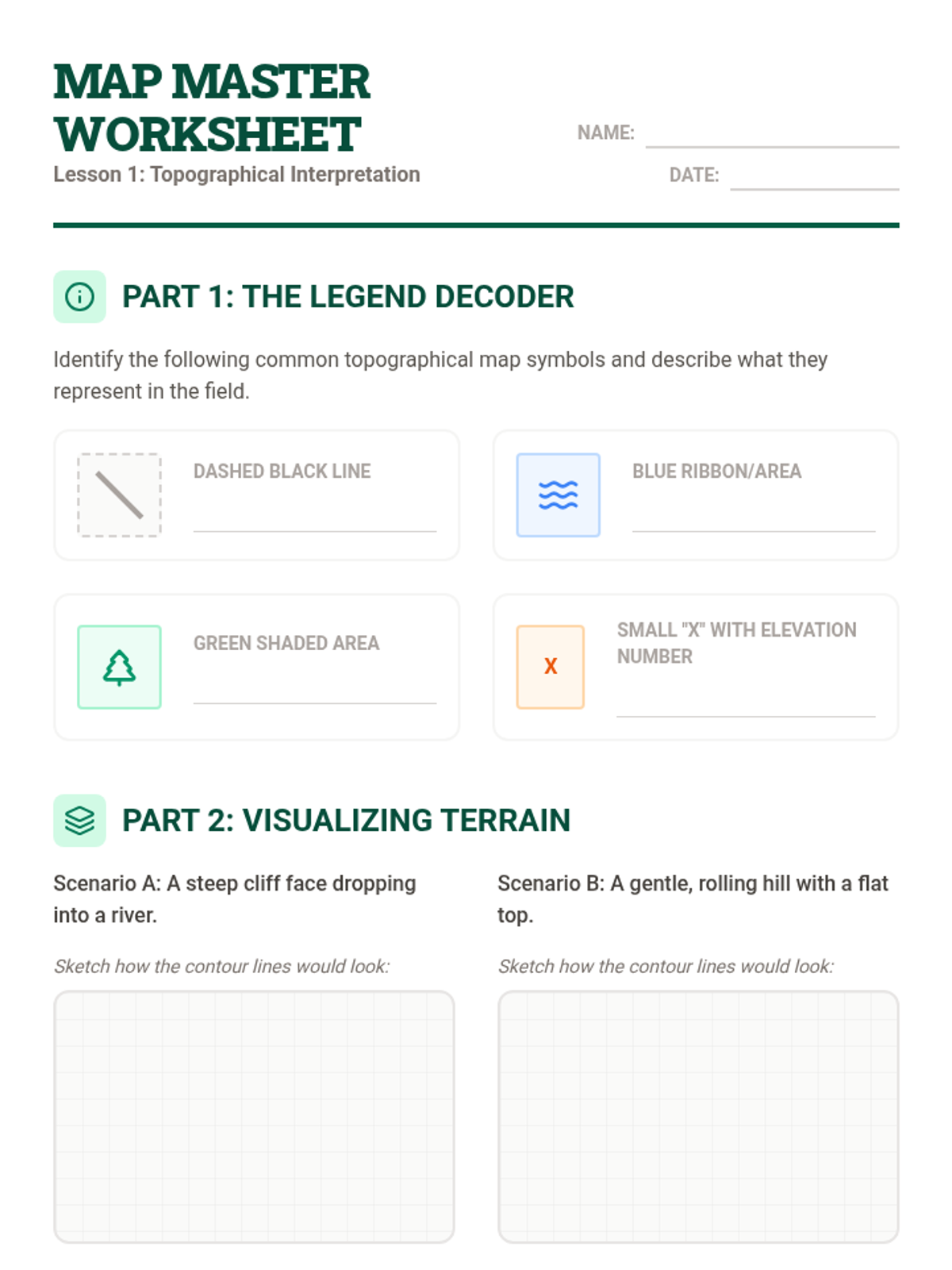
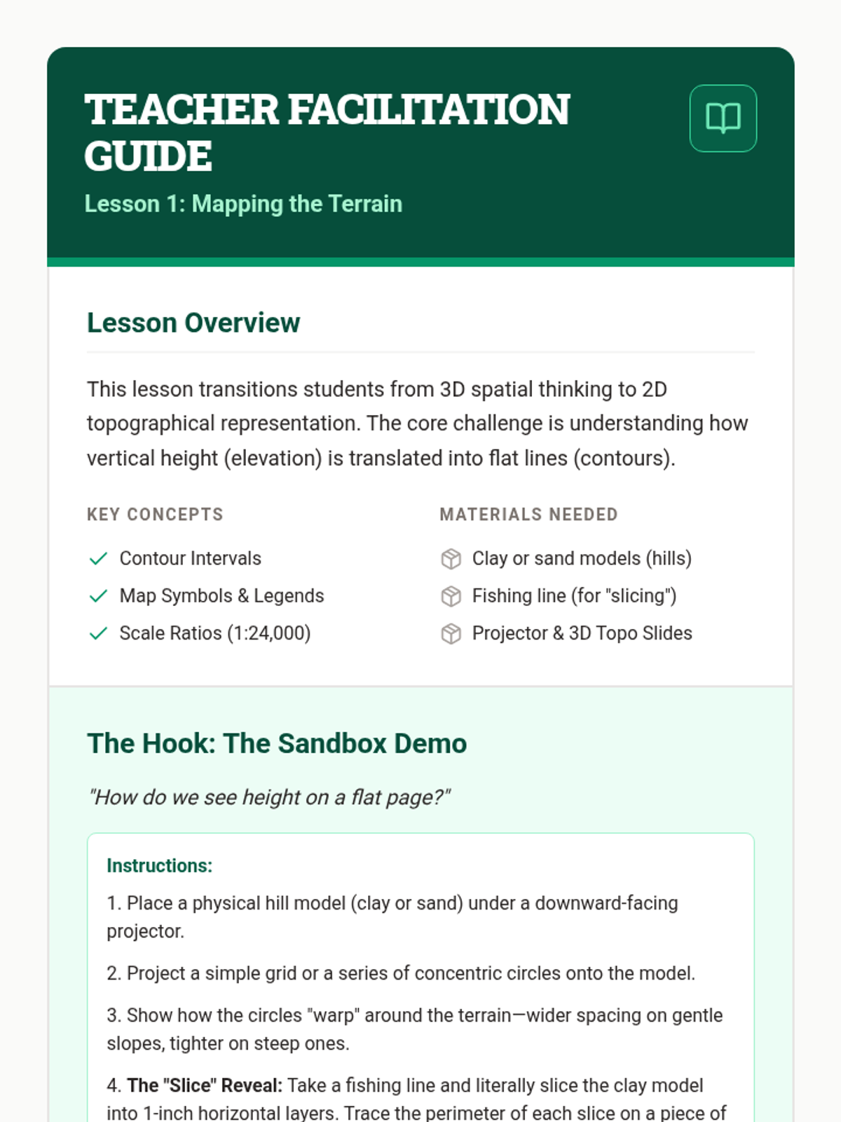
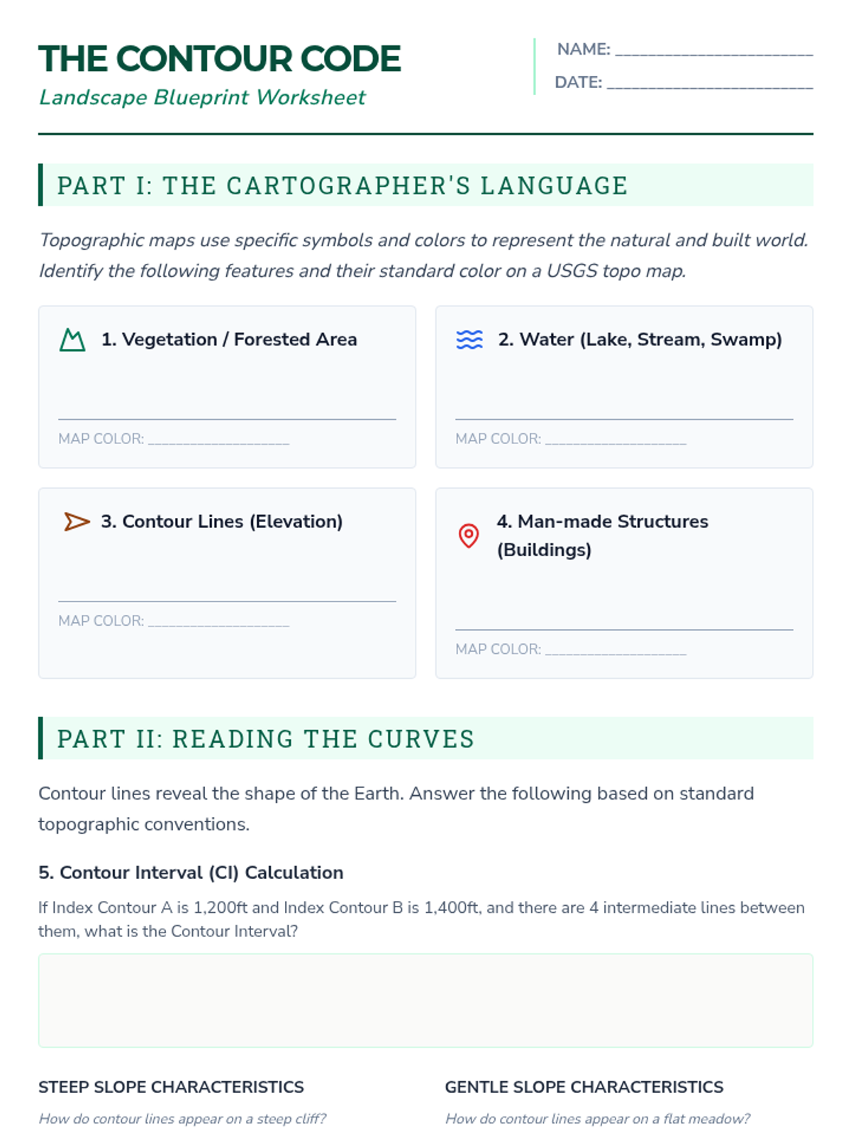
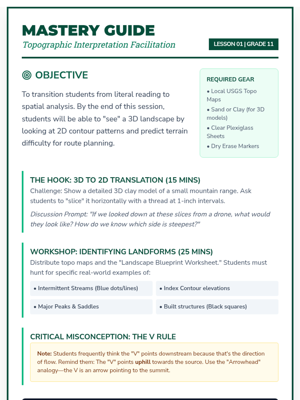
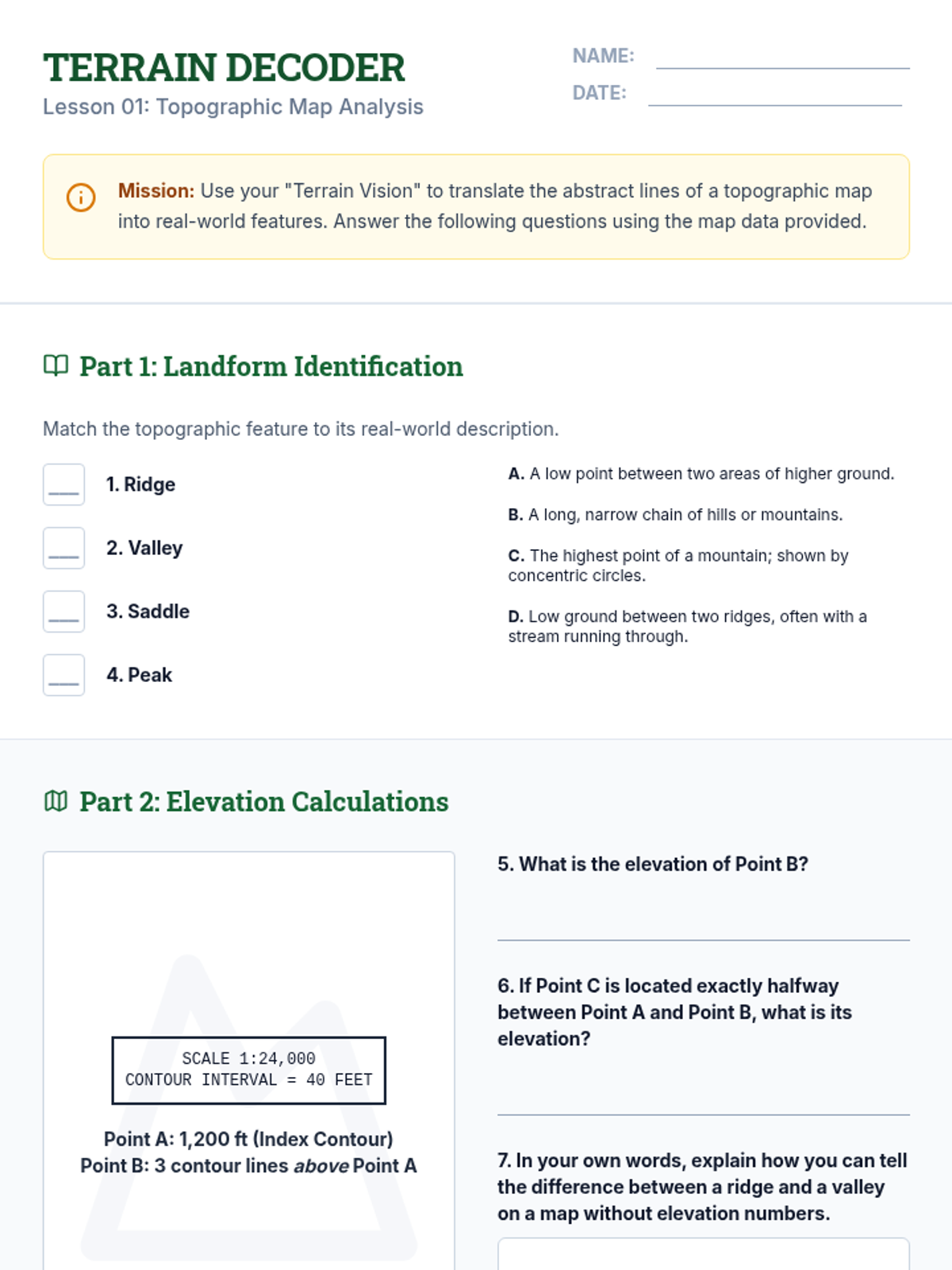
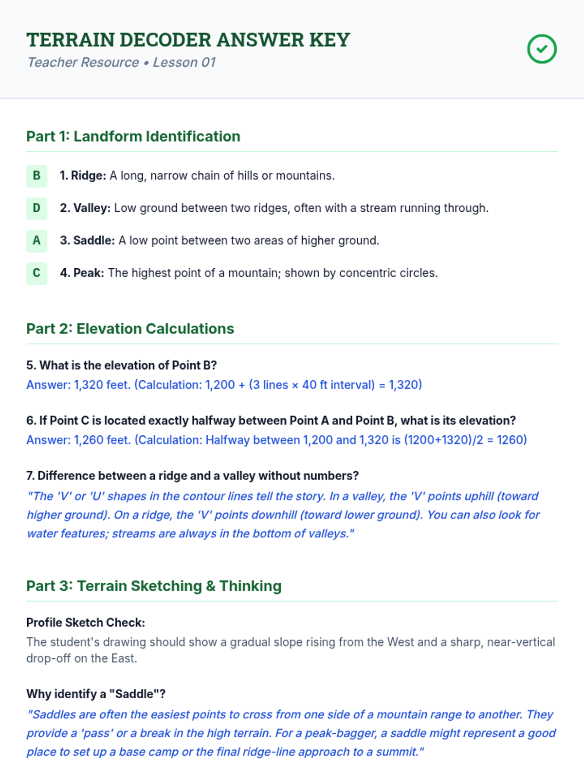
Students explore the fundamentals of cartography, focusing on scale, legend symbols, and the interpretation of contour lines to visualize 3D terrain on 2D paper.
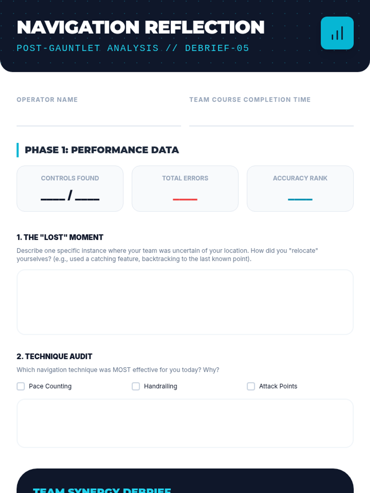
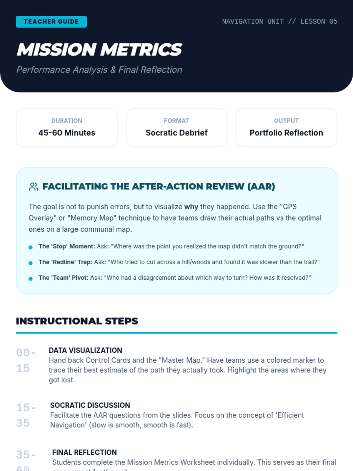
A reflective analysis of performance data and route choices to improve future navigational decision-making and teamwork.
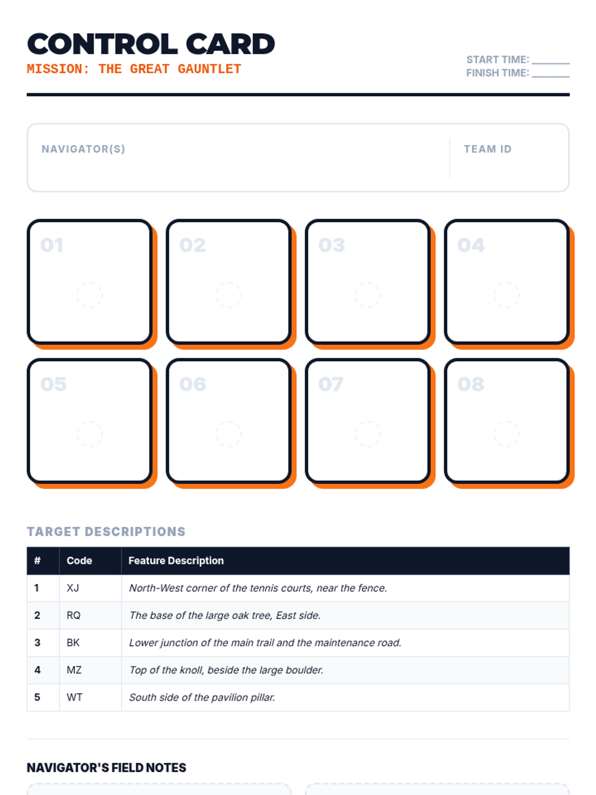
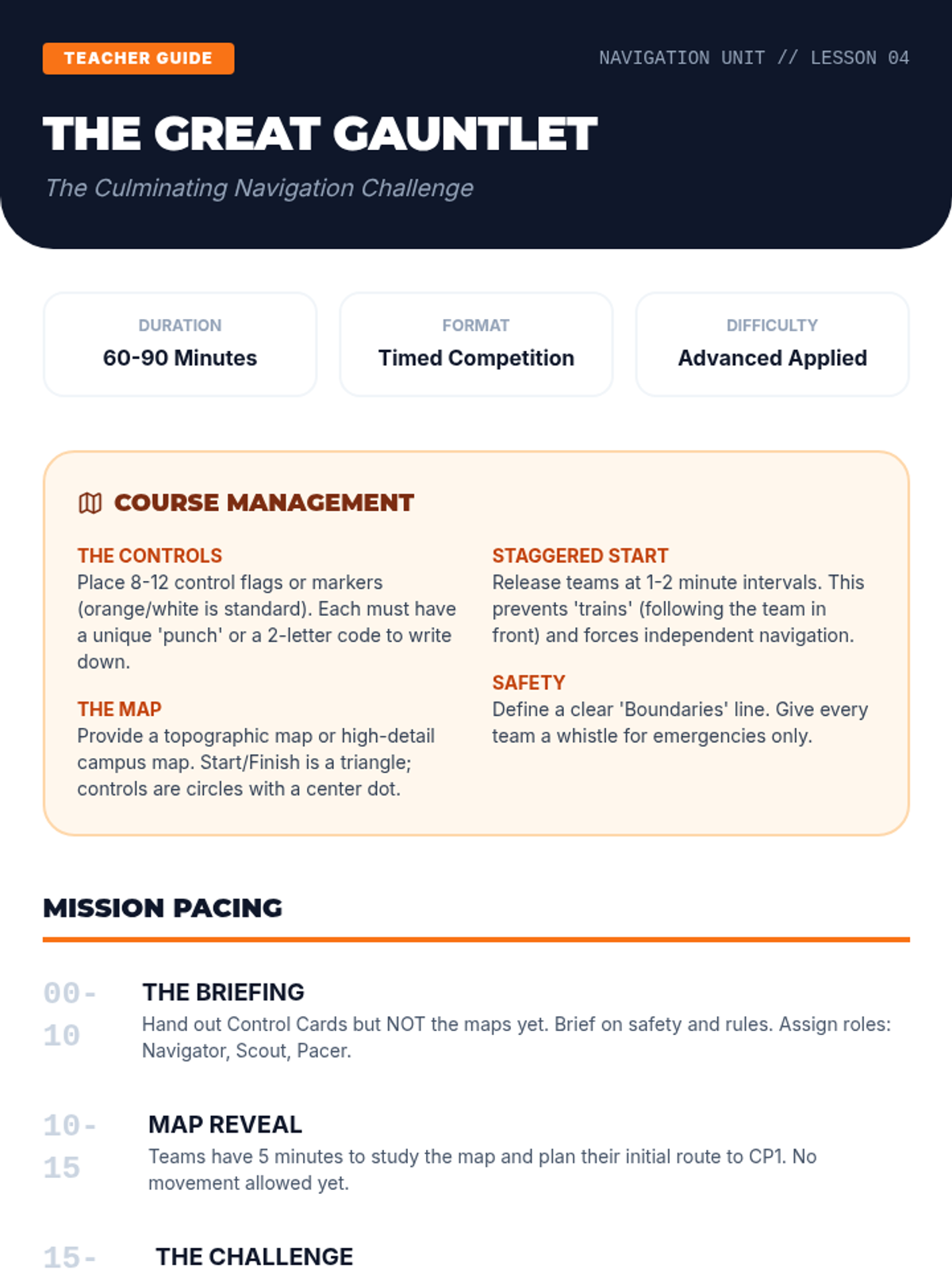
A culminating physical and mental challenge where students navigate a timed course, applying all previously learned skills under pressure.
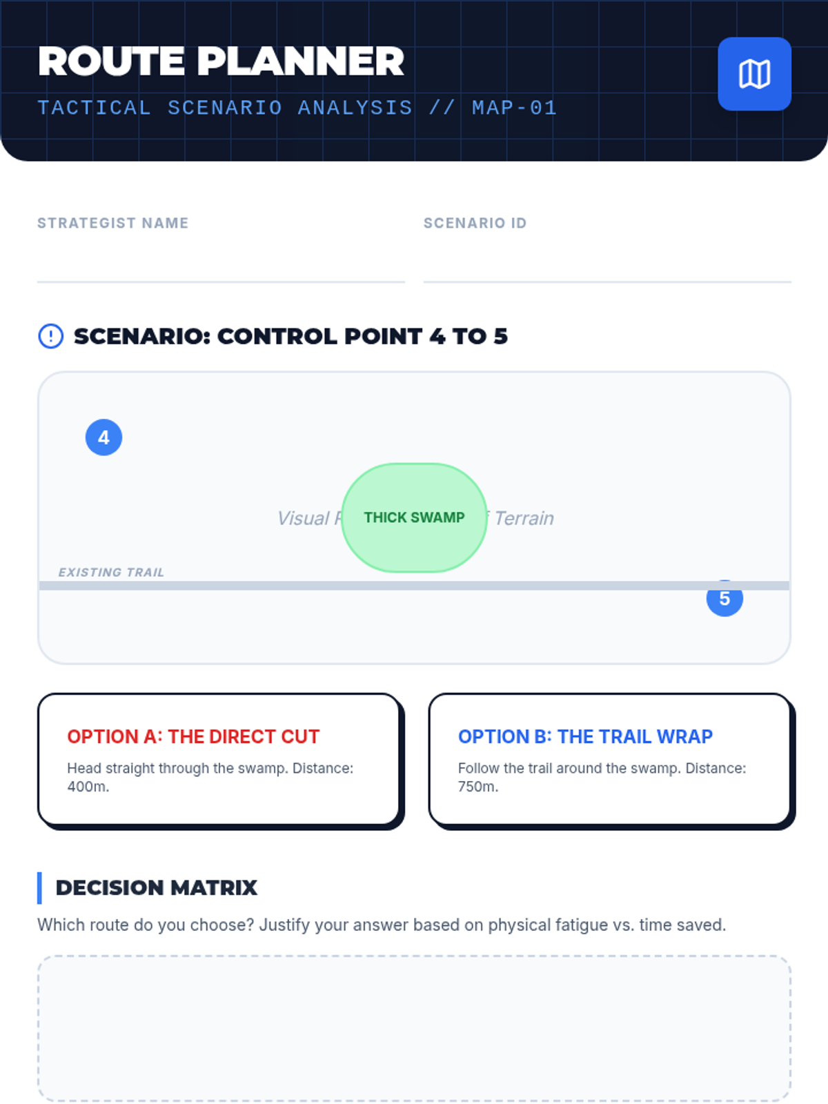
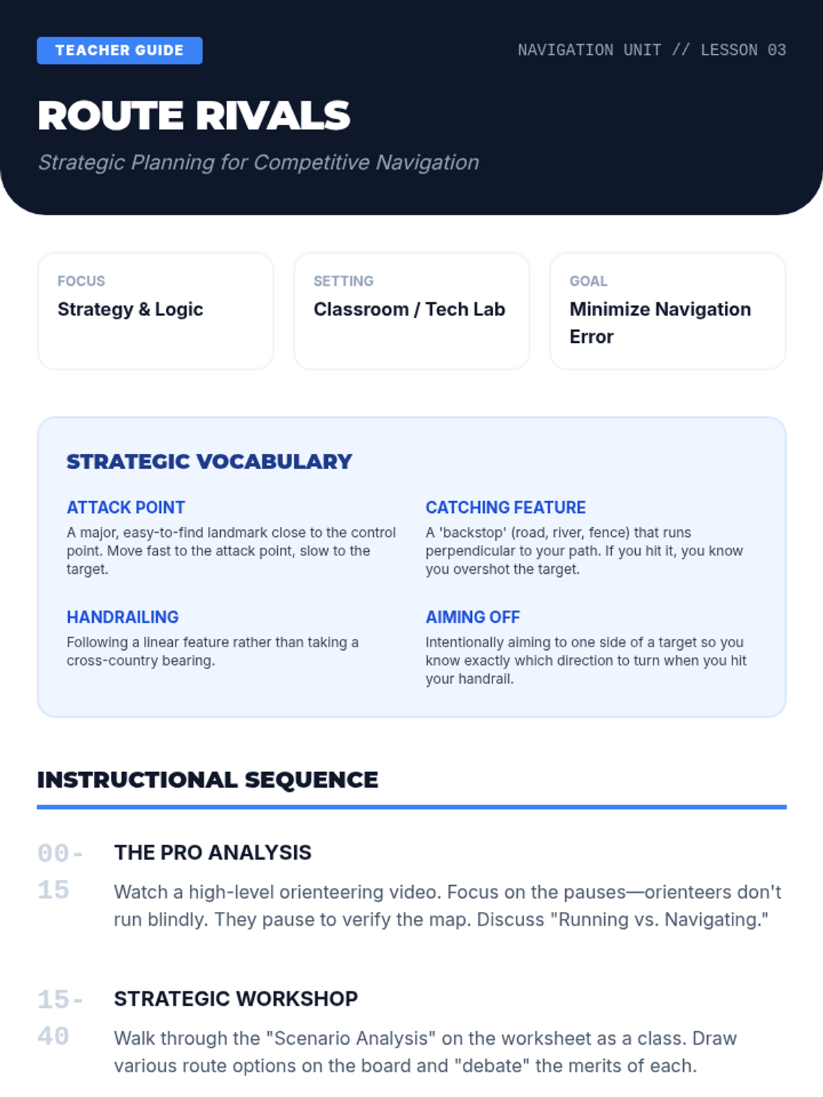
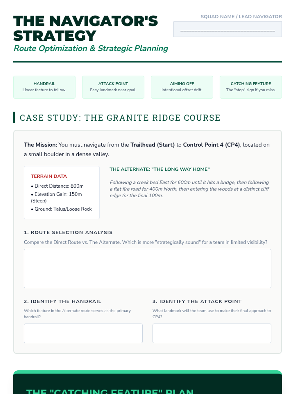
An introduction to competitive orienteering strategies, focusing on route choice, attack points, and catching features to optimize speed and accuracy.
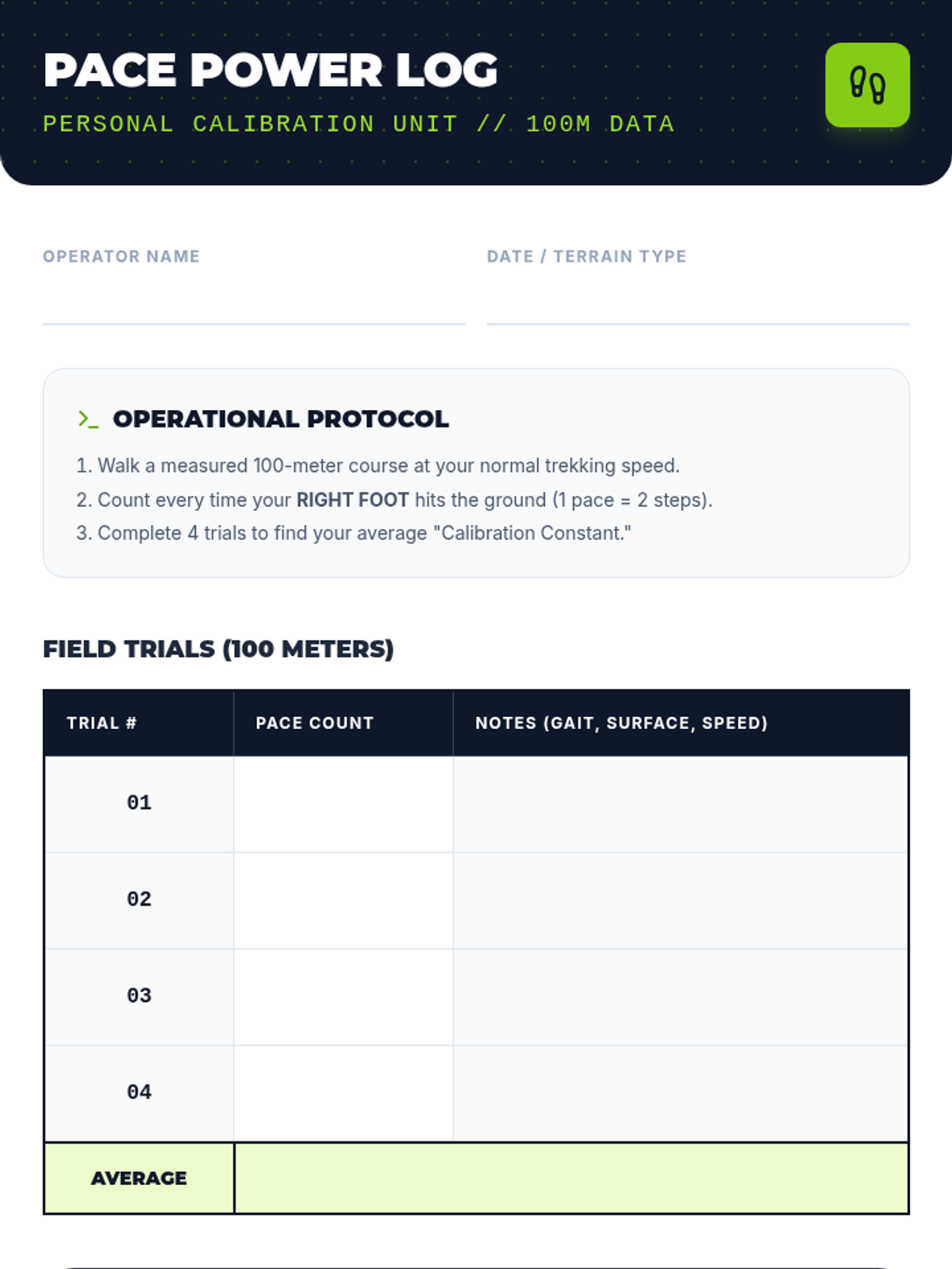
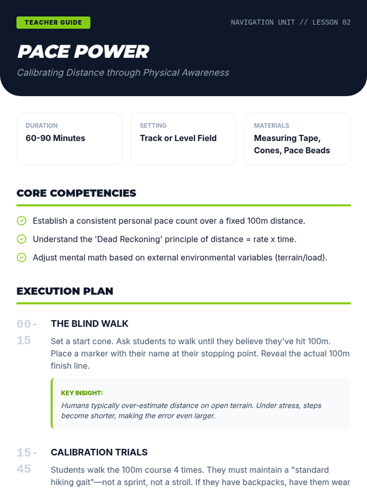
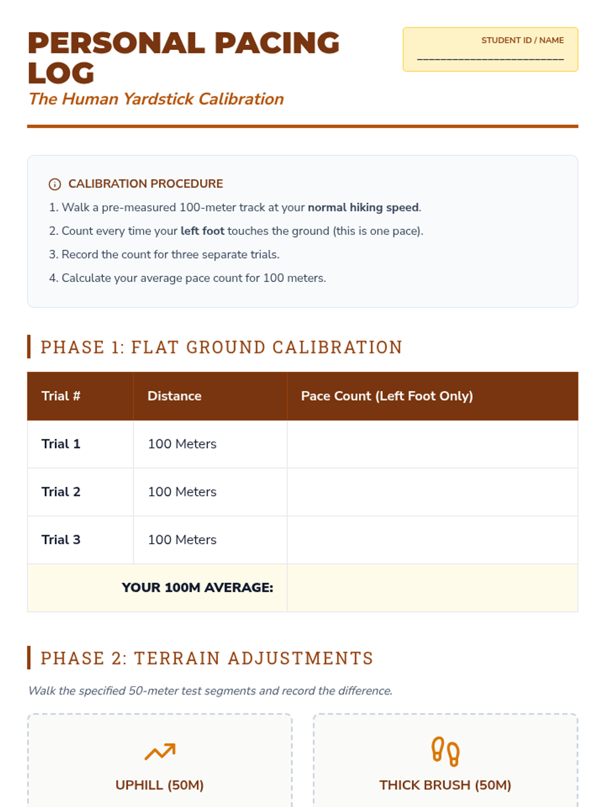
Students calibrate their personal pace count to estimate distance over varied terrain, a vital skill for dead reckoning and precise navigation.
Students explore GPS technology, learning to interpret coordinates and manage waypoints while understanding the relationship between satellite tech and traditional map skills.
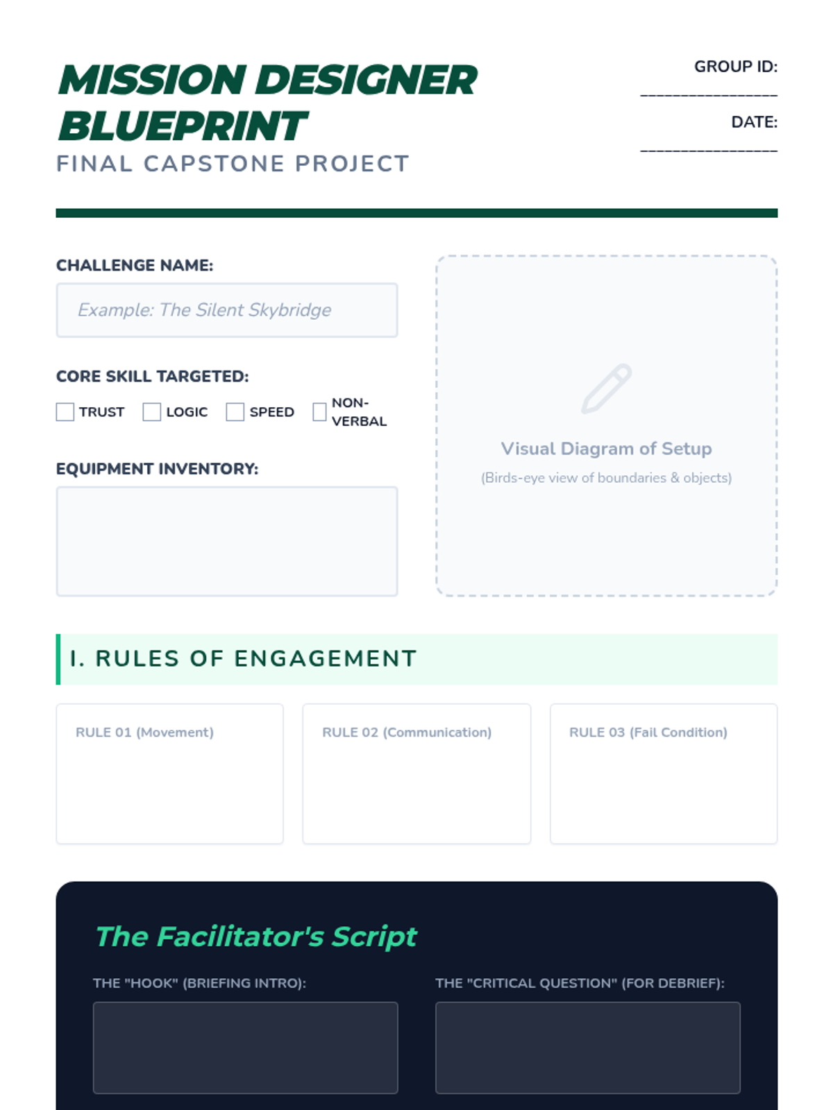
Students synthesize their learning by designing their own cooperative challenges, creating rules and safety parameters, and facilitating the games for their peers.
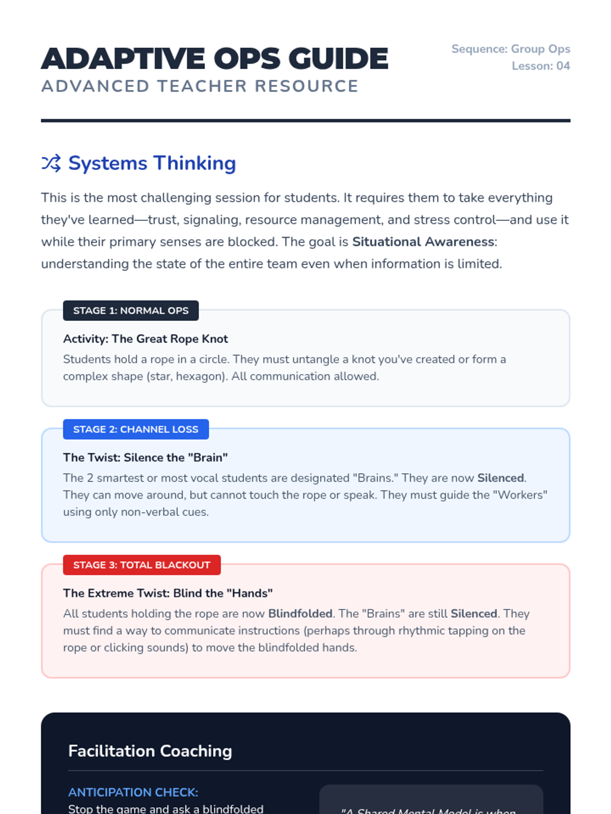
Groups face multi-stage physical puzzles where communication channels are systematically removed, requiring students to adapt strategies on the fly and develop shared mental models.
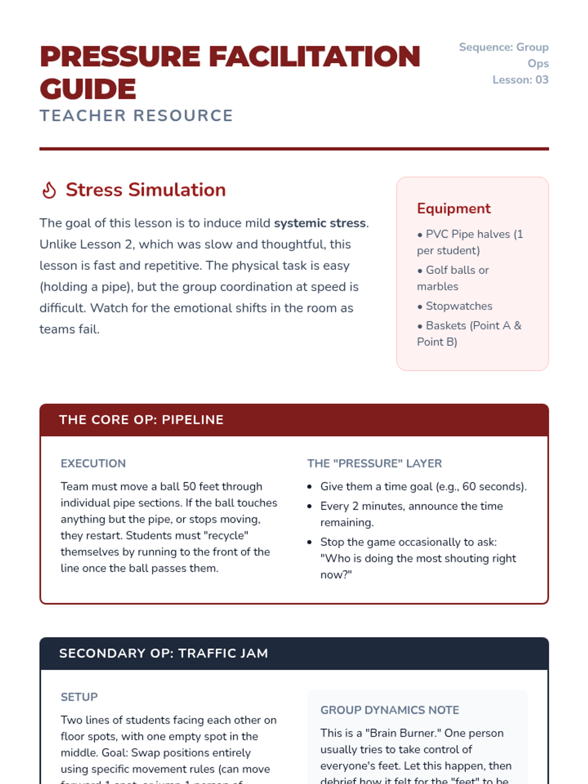
Students focus on group dynamics and stress management during high-speed challenges like 'Pipeline' and 'Traffic Jam', where rapid coordination is essential.
Students tackle the 'Toxic Waste' and 'River Crossing' challenges, focusing on consensus building, iterative strategy testing, and the efficient allocation of limited physical resources.
A comprehensive 120-minute safety training session focused on identifying wildlife risks, recognizing safe behaviors, and responding correctly to animal encounters. This lesson equips participants with practical skills to protect both themselves and local wildlife.
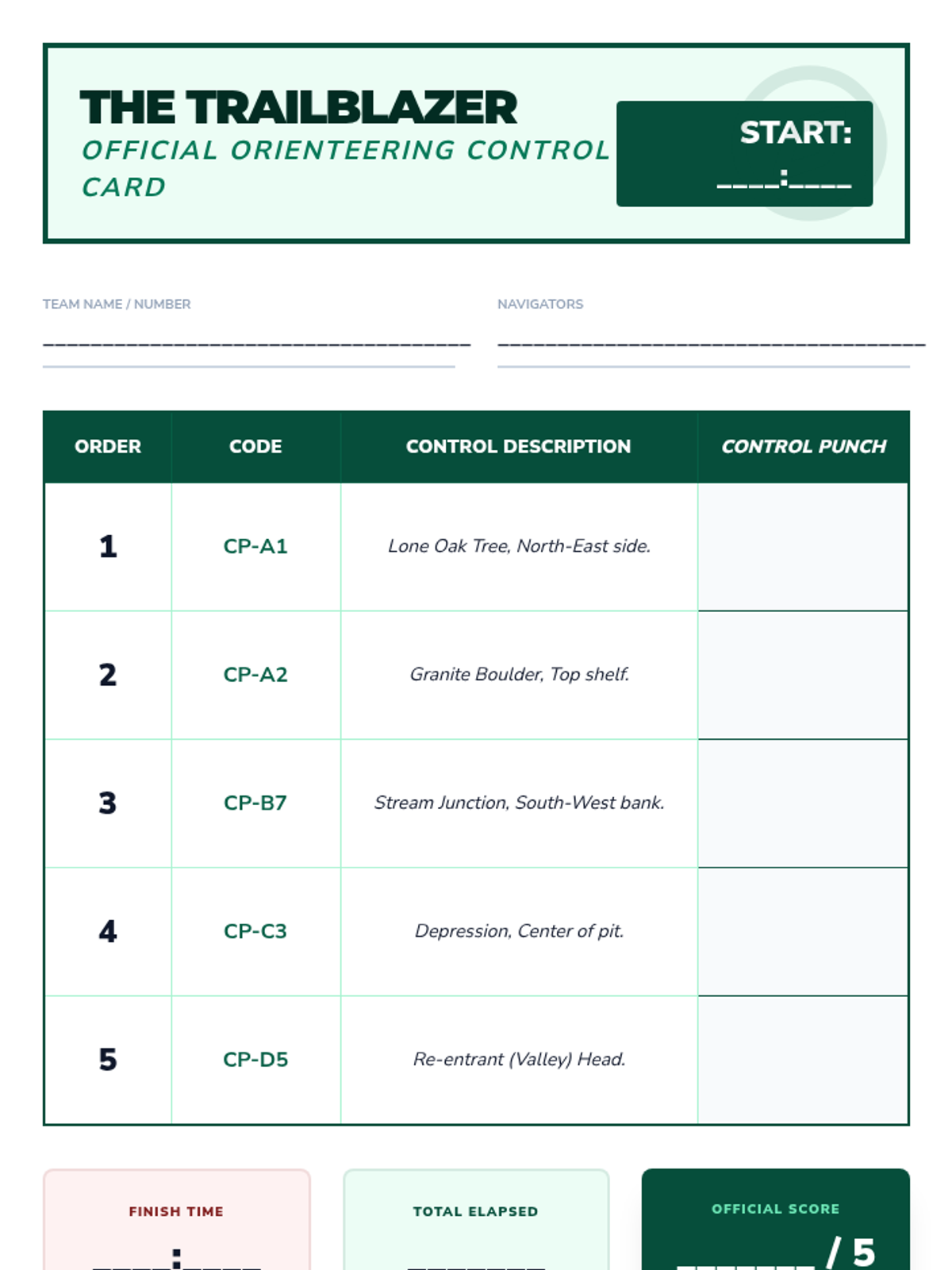
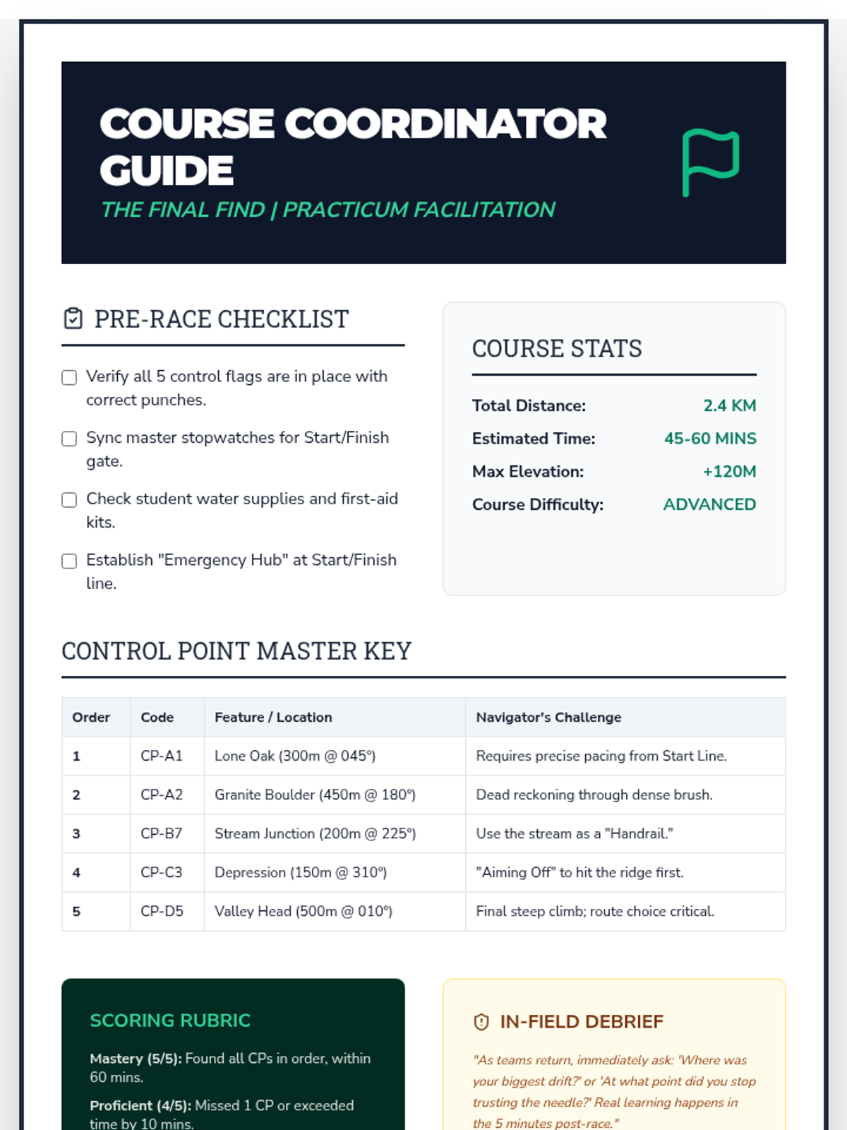
A culminating timed orienteering event where students navigate a complex course to find sequential control points.
Students analyze terrain for strategic advantages using concepts like handrails, aiming off, and attack points.
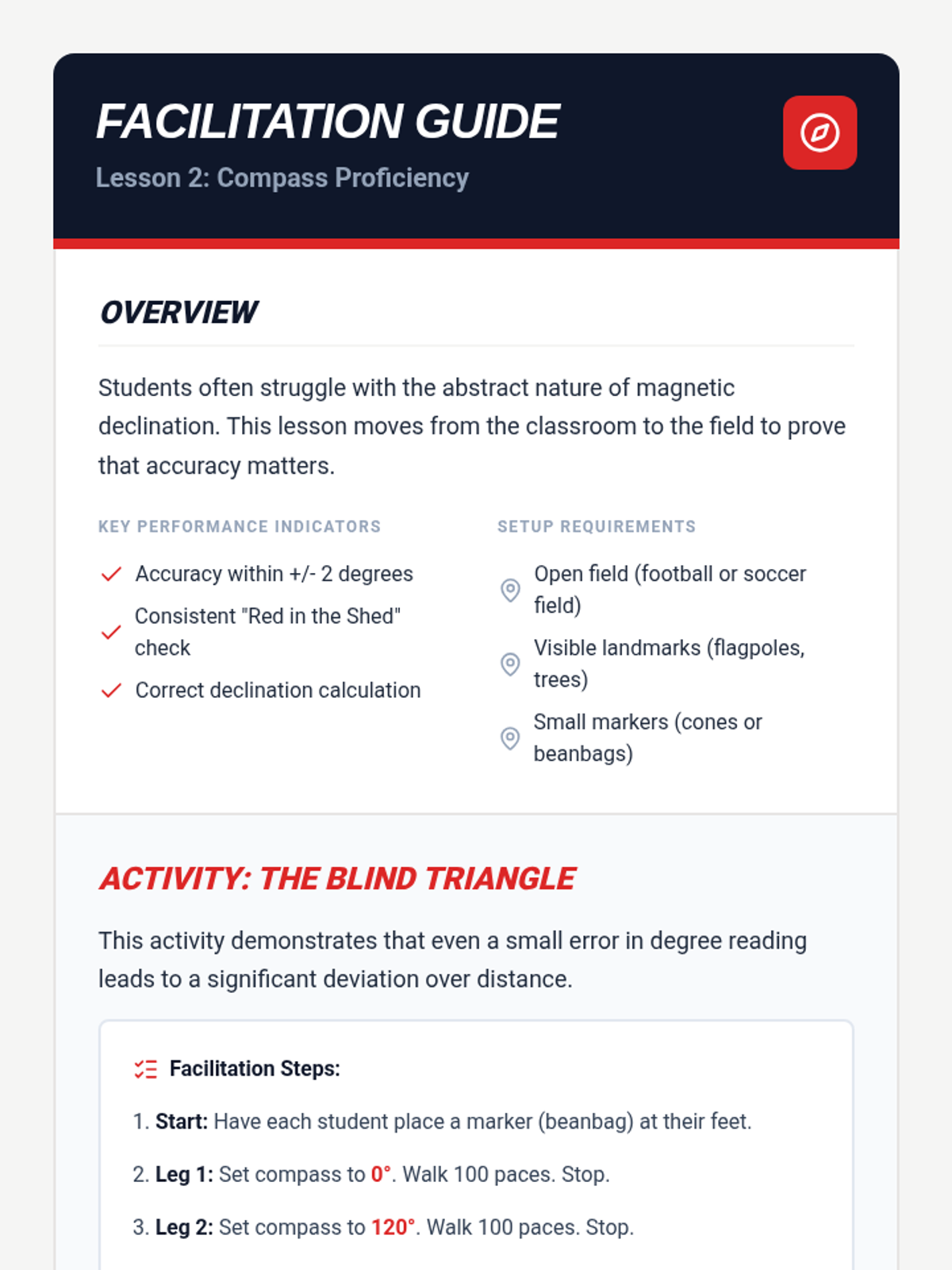
Students calculate their personal pace counts and apply dead reckoning to navigate without visual landmarks.
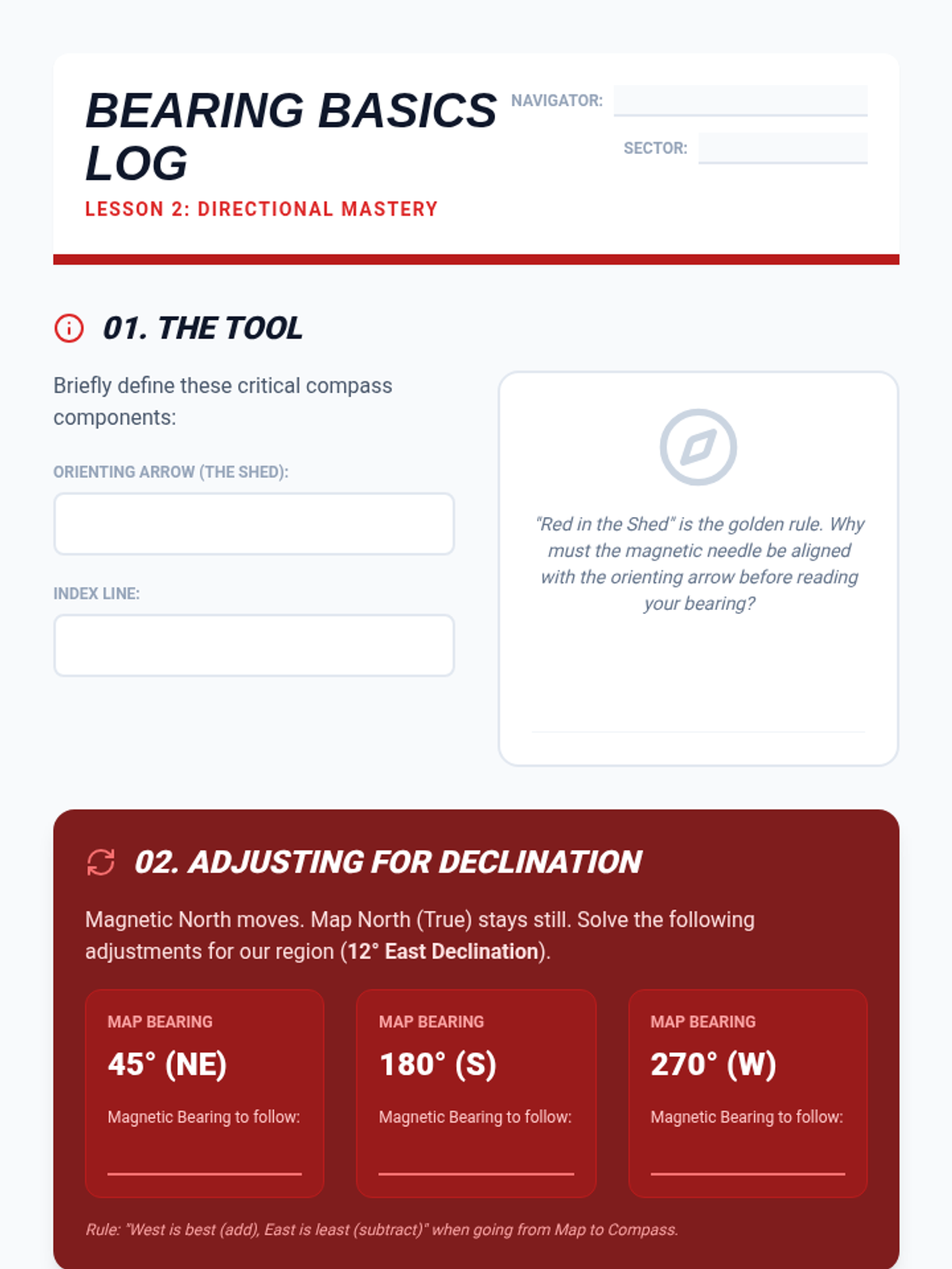
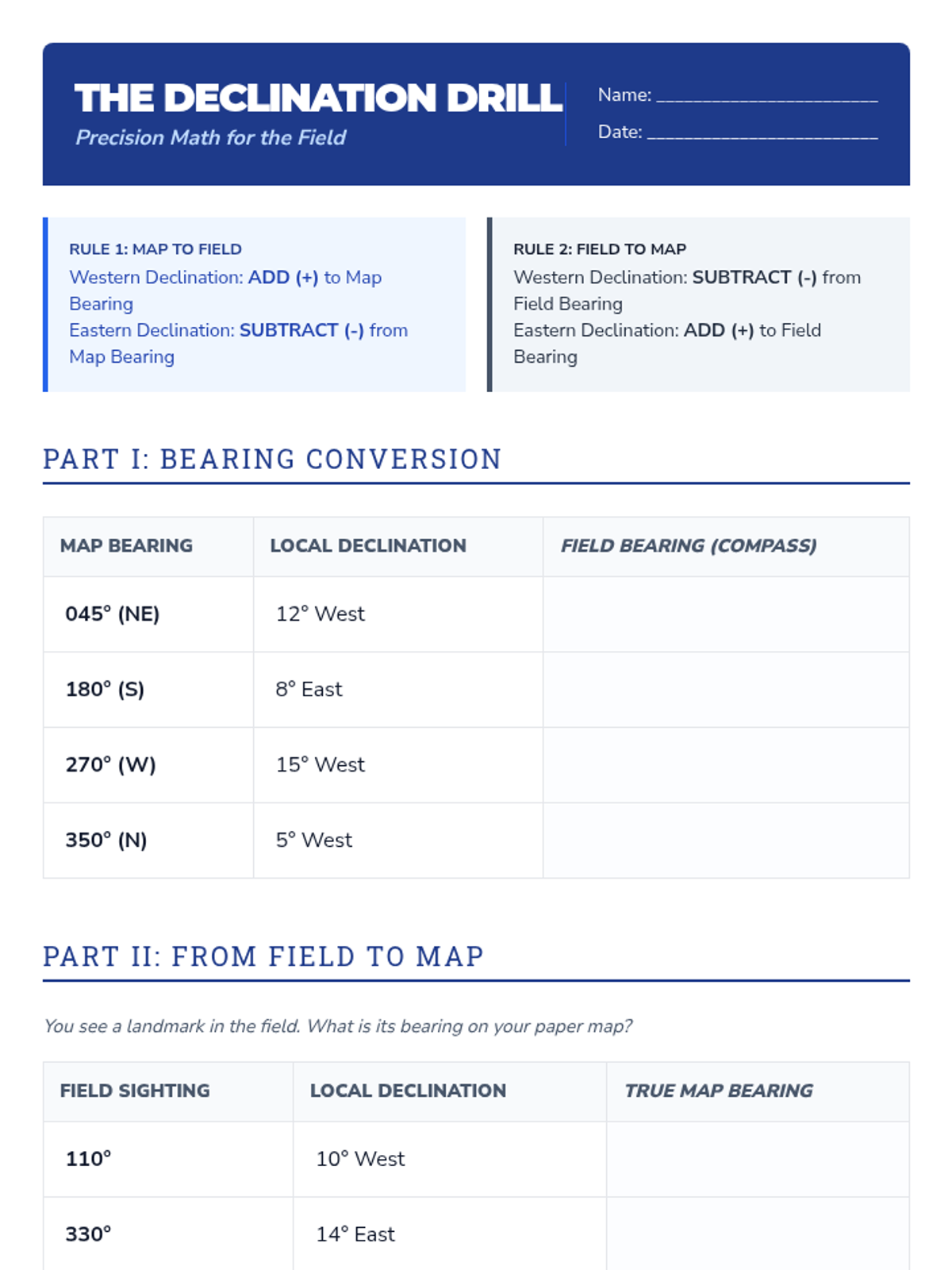
A technical workshop on using baseplate compasses, calculating bearings, and adjusting for magnetic declination.
Students deconstruct topographic maps, visualizing 3D terrain from 2D contour lines and identifying key landscape features.
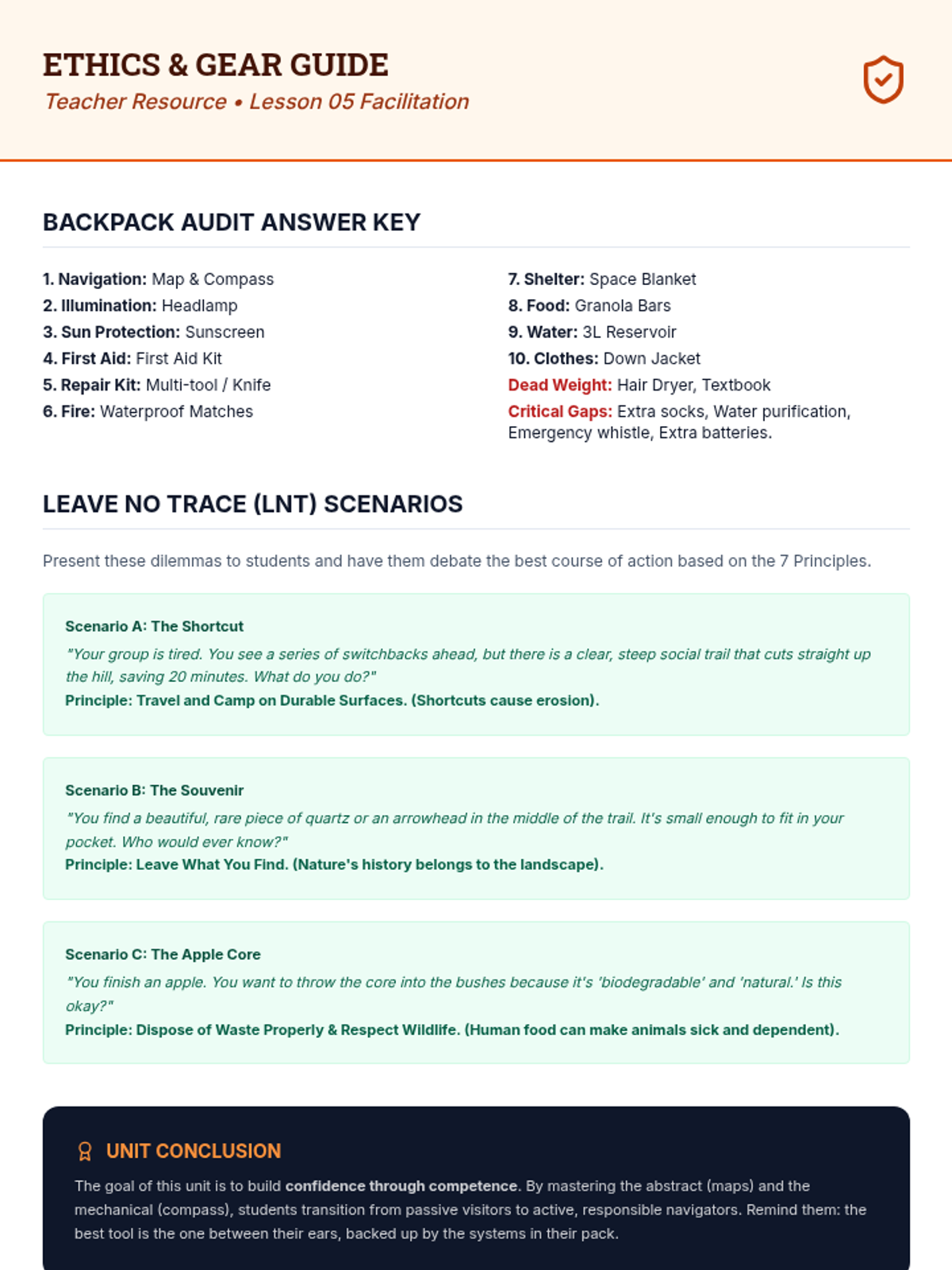
Essential gear for wilderness safety and the ethics of Leave No Trace principles.
Logistical planning using Naismith's Rule to calculate travel time and assessing route risks.
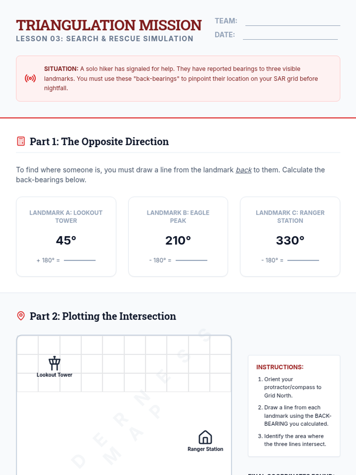
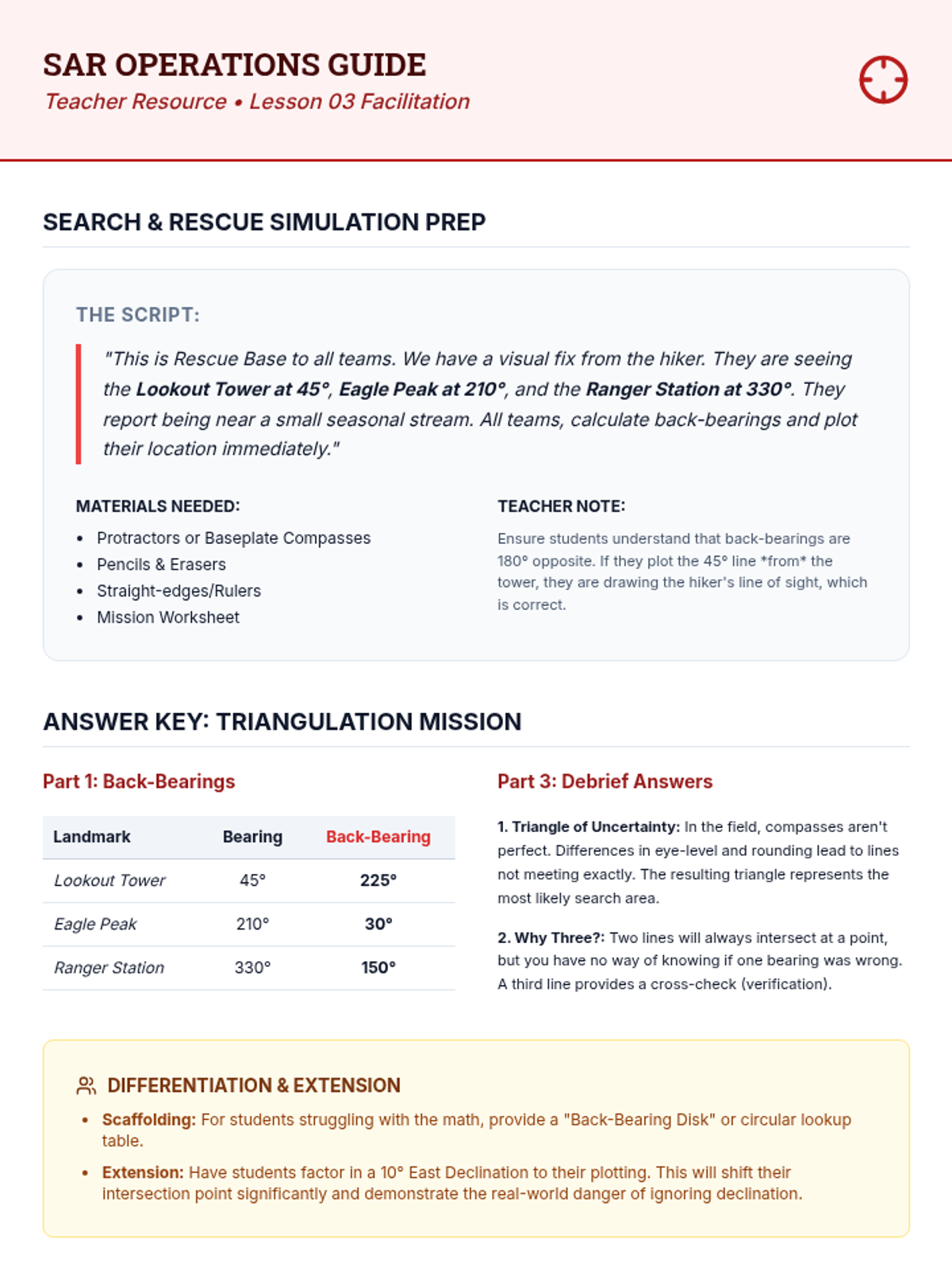
Integrating map and compass skills to pinpoint an unknown location using back-bearings and triangulation.
Introduction to the baseplate compass, magnetic declination, and the process of shooting and following bearings.
Students learn to translate 2D contour lines into 3D visualizations, identifying ridges, valleys, and peaks.